
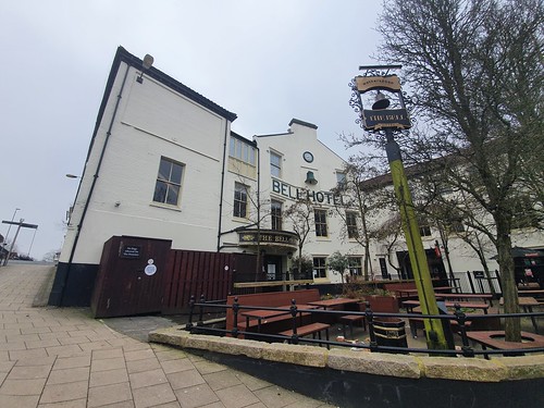

I haven’t written much about this JD Wetherspoon pub in Norwich, but since it’s listed in the Good Beer Guide I had better do so for completeness. It feels a long time ago now, but the above photo is from when the Bell Hotel was closed during lockdown, days I’m very much glad are in the past. This has been a hospitality venue in some form since 1485 and has been an important coaching inn over the centuries, but despite its name it hasn’t been a hotel for decades. JD Wetherspoon acquired the property in the 1990s and it was one of their first acquisitions outside of London, likely saving it from demolition. A few years ago there was a major expansion to the pub (and here are some photos of that, since I got to get a free meal and drink as part of their soft opening) which brought a former part of the hotel back into usage that had recently been used as offices by a bank.

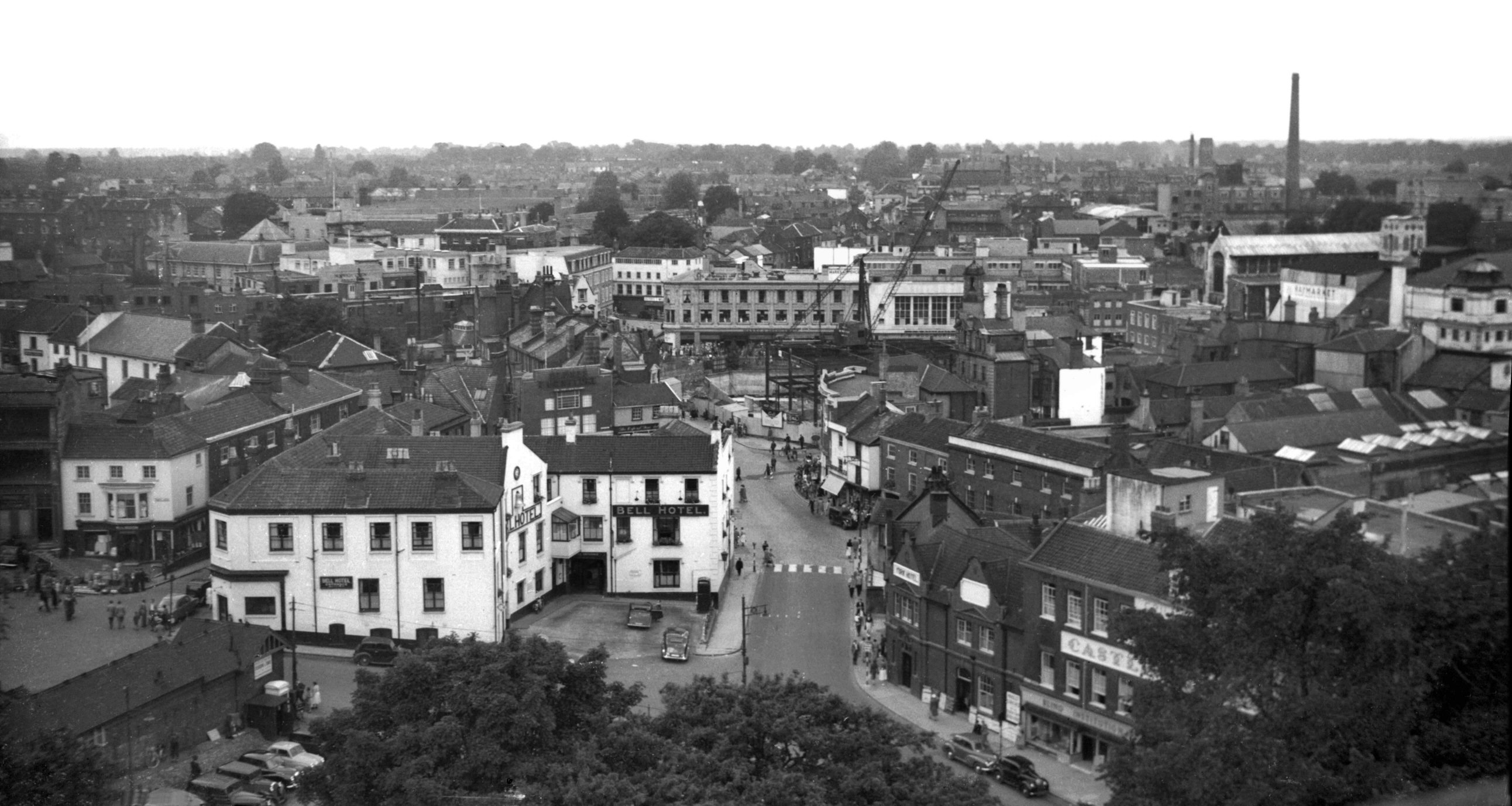
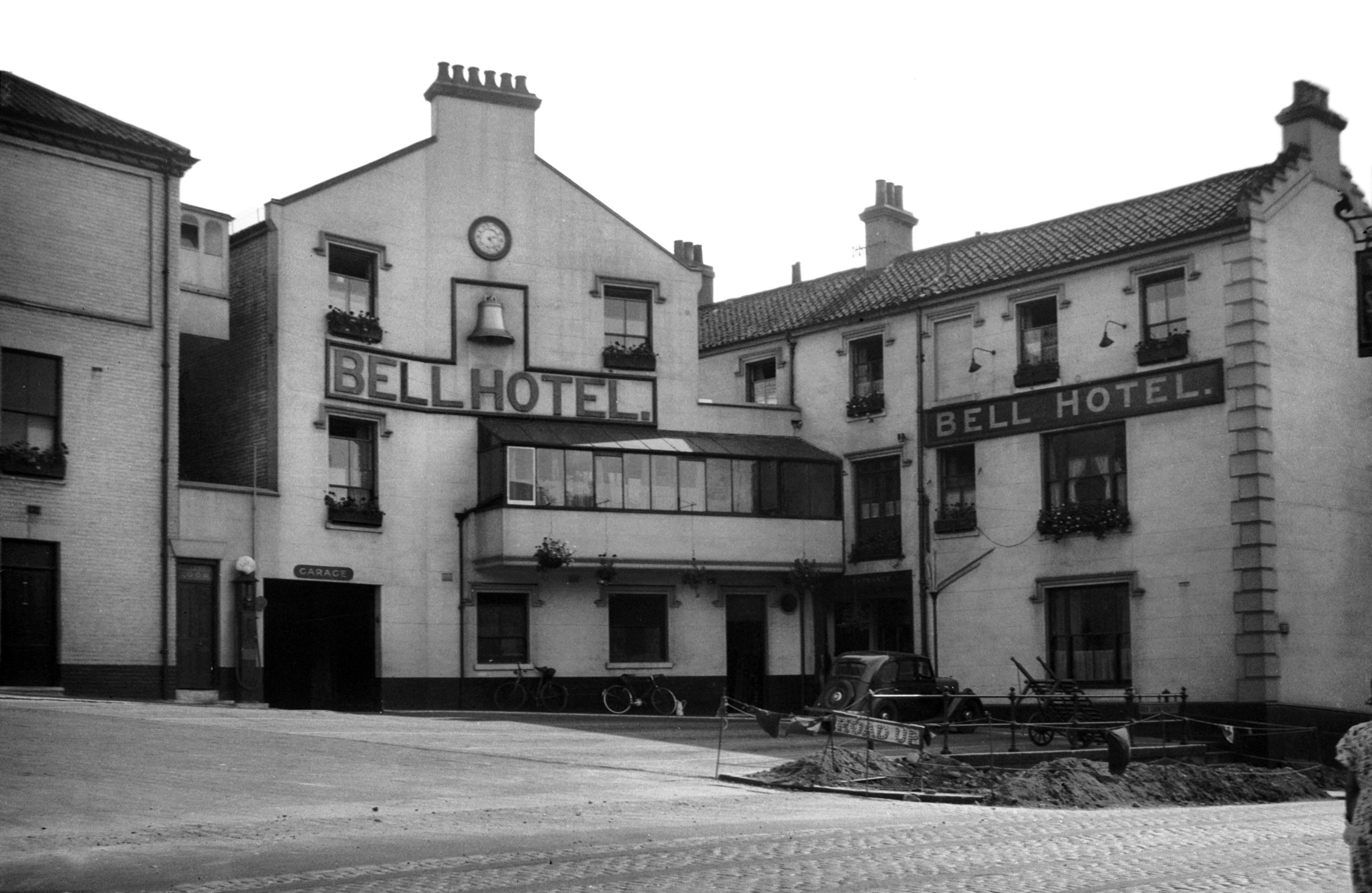
And a little bit of history from the front of the pub. There’s a photo taken in 1938 by George Plunkett of the pub which is one of my favourites that he took, it’s a very different city today but the Bell is relatively untouched. As an aside, that balcony type structure has been removed from the front of the pub now, but in a photo from 1954 a bit is still remaining. I’m not sure if some of it fell off or something, but I’m quite intrigued by it.
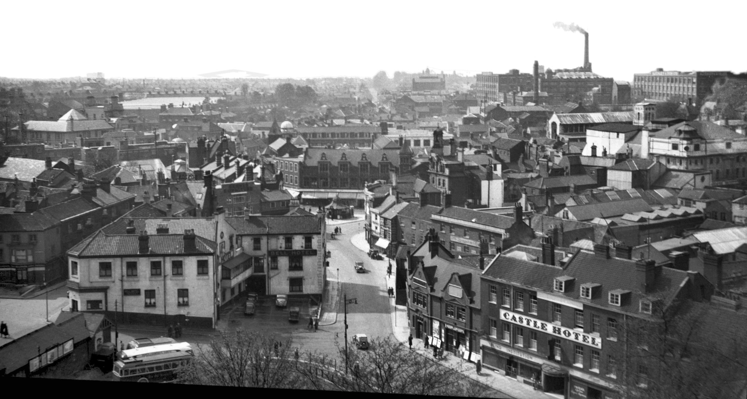
This photo from 1936 interests me, I hadn’t realised that the hotel was previously in two bits. What is now the entrance to the lower bar was the entrance to the garages, along with its petrol pump, with that gap having now been filled in.

These are the only two old photos I’ve seen of inside of the Bell, with this old advert being on the JD Wetherspoon web-site.

This photo is from Norwich Heritage (I can’t link directly as it’s an image in a gallery) and shows The Bell before the tramways required the building to the left to be demolished.

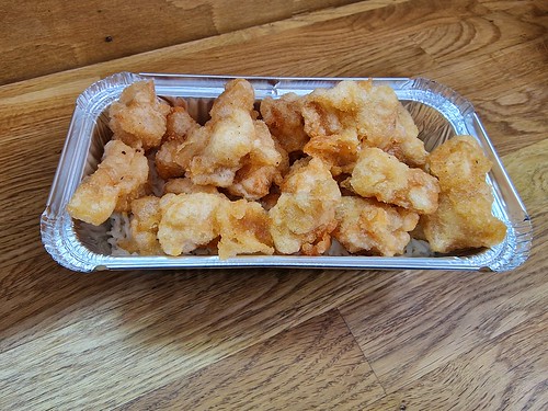
I’ve many photos of the food here, but here’s once from 2017 when they still sold the pastrami bagel, which I think is one of the best things that they’ve sold.

The mushy peas are slightly splodged on, but I’m sure it tasted delicious.

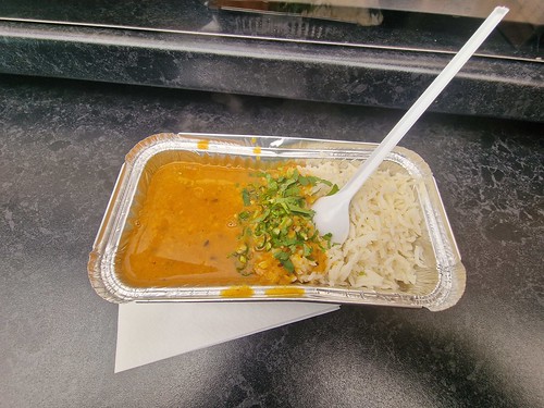
And a breakfast from when they used to be more affordable, as there have been a series of price increases over recent months making everything more expensive.
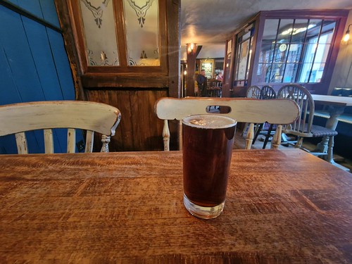
Back to the beer and away from the food, there are usually seven or eight real ales available on a regularly changing basis. I’ve never had any issues with the beer here, it’s always well kept and at the appropriate temperature. At the time of writing they’ve got eight real ales on, with three of those being their staples of Greene King Ruddles, Sharp’s Doom Bar and Greene King Abbot Ale. They’ve currently also got Adnams Ghost Ship, Beartown Bearskinful, Brains Rev James Original, Wolf in Sheep’s Clothing and Woodford’s Phoenix IPA.

This was one of my favourites that they had on a few weeks ago, the Red Herring from Green Jack Brewing in Lowestoft and it’s a Rauchbier.
The pub is relatively well reviewed and I think it’s the busiest of the JD Wetherspoon outlets in the city. Looking through the reviews:
“This used to be my favourite Wetherspoon restaurant in the city until yesterday when I came in with my family for a meal and I was welcomed by a living SNAIL on my bbq chicken pizza”.
That sounds exciting to be fair, I’ve never been served a snail in any JD Wetherspoon pub.
“After 22 years of not eating any animals, I was served chicken nuggets today at The Bell Hotel instead of quorn nuggets. I’ve never had quorn nuggets in Weatherspoon before and I have not eaten chicken for 22 years, so I have not realised what happened until the mistake was discovered after I have eaten some of the meal.”
That is far from ideal, although I have often been served the wrong meal in this chain, so I’m not entirely surprised. The mistakes that they make with my order don’t have the same impact as this customer.
“No wonder the owner wants European staff, they don’t understand the negative comments”.
Oh good, a bit of hatred and piffle thrown into the mix.
“I asked for a double jack and coke with no ice the guy put ice ion not a big issue but instead of making another one Jim I think he was called just put his hand in the drink picked the ice out and then gave it back to me what the hell and during a pandemic”
I’d like to think that this isn’t true.
“Ok if you are a non-smoker. 13 tables to choose from, 4 if you smoke. WOKE PUB”
Of all the pubs that is ‘woke’, it’s not ones operated by Tim Martin. Unfortunately, the chain decided to scrap their social media presence a few years ago, so none of these reviews are ever replied to.
Anyway, I digress. It’s a perfectly well managed pub from my experiences and there’s a choice of bars with a smaller one downstairs and the main one upstairs. There’s plenty of real ale and also craft beer, I suspect it’ll be remaining in the Good Beer Guide for some time to come.


