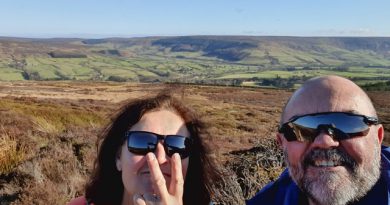
LDWA 100 – Training Walk 11
This was our eleventh walk in preparation for the 2021 LDWA 100.
WALK NUMBER: 11 (Faffing about near Surlingham)
DISTANCE COVERED: 17.8 miles
NUMBER OF NATHAN’S FRIENDS WE “ACCIDENTALLY” BUMP INTO: 3
SUFFICIENT BEER CONSUMED: No (all the pubs are shut)
PUBS VISITED: 0 (not through choice)
WEATHER CONDITIONS: Moist
ATTACKED BY ANIMALS: No
NUMBER OF SNAKES SEEN: 0
We didn’t set out today with any particular route in mind, but we did want to walk some of the Wherryman’s Way, which will be the first half of the path we’re taking on our actual LDWA 100 effort. So, that’s where we started and since I didn’t take any food along with me, we couldn’t go anywhere too rural for the entire day.
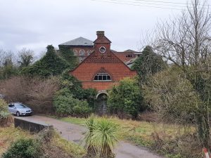
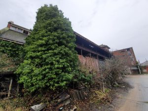
Nathan pointed this building out, which we’ve walked by many times, and I realised that I didn’t have a clue what it was. I’m not an urban explorer, as I’m not brave enough, but, fortunately, someone has done that already and taken photos of what’s there.
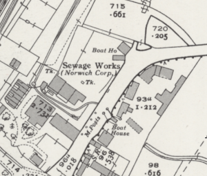
Here’s a map from around a century ago, showing at the time that the site was the Norwich Corporation’s sewage works. The buildings were constructed between 1865 and 1871 under the supervision of Joseph Bazalgette, best known for his work on sewage systems in London. They’ve now been superseded by Whitlingham Sewage Works, but the buildings remain and are in a decent condition.
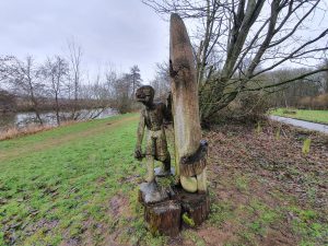
One of the wooden sculptures at Whitlingham Lake.
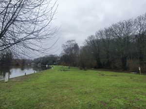
We set off along Wherryman’s Way walking along the river and this is Woods End. It started to rain quite hard during this time, so this wasn’t looking like the more ideal of days for meandering around, but it stopped after about an hour and didn’t return. Perhaps quite usefully, the route wasn’t at all busy and we didn’t see that many people during the entire day.
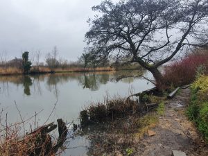
It has been a wet few months and much of the area was either flooded or quite damp.
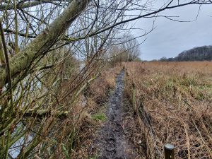
Well, and quite muddy as well.
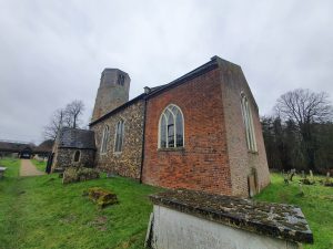
We had a little meander around St. Mary’s Church in Surlingham.
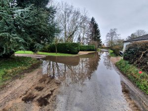
When we were walking down the road a local resident mentioned that there was quite a flood up ahead. Always hunting for some form of adventure (OK, it’s true that walking down a flooded road isn’t that adventurous, but we are a bit limited at the moment) we thought this sounded more exciting than off-putting.
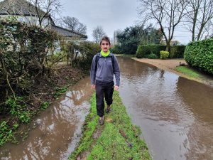
I had my phone ready to capture anyone (and I won’t name names) who might have slipped over into the water and although that didn’t happen, this is how moist the area was. It’s certainly not ideal.
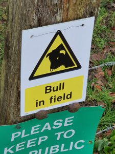
After Nathan had climbed over the stile I helpfully said the words “bull in field” just to warn him of the potential danger. He interpreted that as my having seen a bull in the field, and I was impressed at how fast he was able to return. It shows what excellent reactions he has, which will prove useful in the event of a snake attack during the warmer months when adders and grass snakes flood into the area.
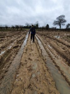
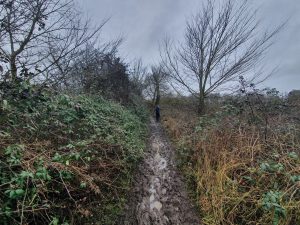
Mud, which was really rather quite slippy. Not ideal. There were also numerous fields like this where the line of the public footpath isn’t marked out even in the most basic of forms.
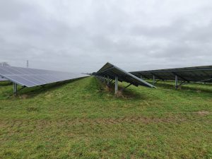
Walking past the solar farm at Yelverton, fiercely opposed by many residents when it was announced in 2014, but it certainly makes an impression of the landscape as it’s a pretty huge site.
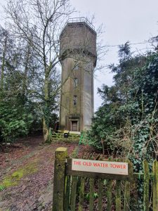
The Old Water Tower on Framingham Earl Lane, which appears to have been converted into a residential property given the letter box arrangement.
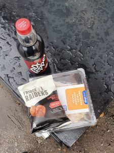
We did think about getting chips, but the excitement of a One Stop meal deal proved just too much to turn down. We were quite impressed at the efforts made by One Stop to offer a selection of craft beer and although we didn’t get any today, there’s definitely a tide turning where shops are focusing more on decent beers and less on other alcoholic drinks and generic lagers.
We had a choice of two routes back from Arminghall into the city, and we perhaps chose the wrong one as this one was rather muddier than we expected. But, neither of us complained….. Well, not for long anyway.
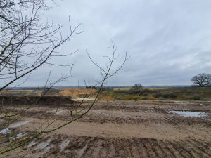
This is the sand and gravel quarry near to Trowse, which is one hell of a hole in the ground now. I’m hoping that they turn this into some water park arrangement when they’ve finished their digging, perhaps with a Greggs and decent pub there as well to serve visitors.
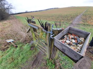
The collections box on Boudicca Way, which has some random pottery which has been found in the field and some feathers…..
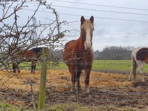
A horse which stared at me in what I thought was quite a disdainful manner. I think I need to get out more….
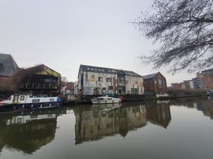
And back into Norwich, this is one of the warehouses beside the River Wensum which I suspect will be transformed by property developers over the next couple of decades. It took us some time to get back into the city centre as we had to keep stopping so Nathan could talk to his friends that we kept bumping into. We had a variety of people on this one, including work colleagues and a former teacher…..
In terms of the walk itself, it was only 18 miles and that’s obviously a long way short of the 100 miles LDWA challenge that we’re planning. But, there were no problems during the way and so it was useful to get some distance in given the current limitations that we have. We had hoped to walk Wherryman’s Way in its entirety again, but we can’t use public transport to get to Great Yarmouth at the moment, although hopefully that might change.
As for the write-up of today, that’s the best I can do with the route we chose, which was quite a lot of wet footpaths and river banks and it’s territory that we’ve walked along before. It’s still what I’d call a training walk though, so I didn’t want it to pass by without making at least a brief reference to it.


