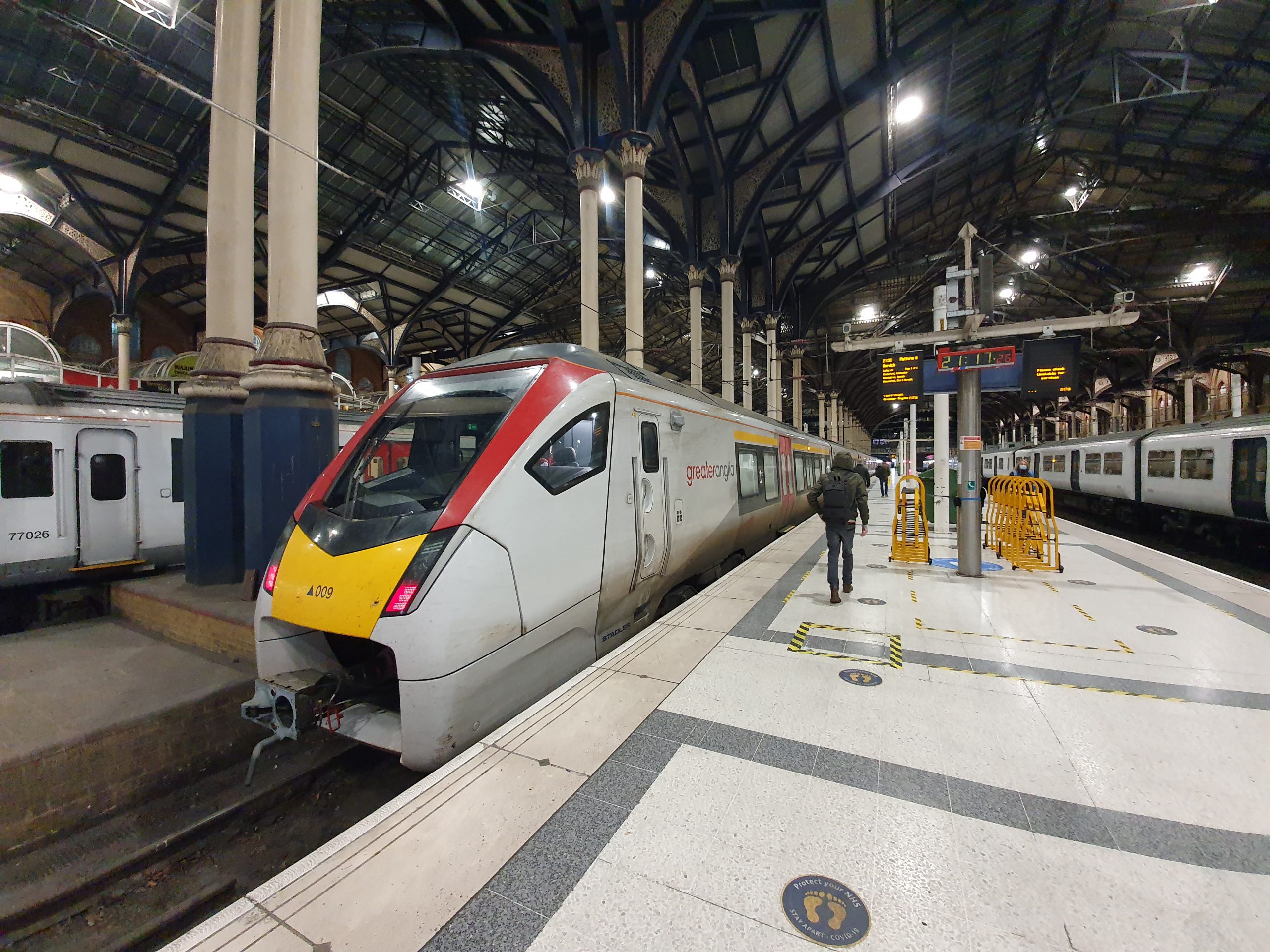
Tag: Norwich

  • Norwich – Line of River Cockey

    Norwich – Line of River Cockey


    Located at the top end of Westlegate is this stone marker which notes the former route of the Great Cockey river, but also mentioning the now lost Muspole, Dalymond and Freshflete rivers in Norwich.

    The blue stones start at the marker and then head off down Westlegate. The river once started at what is now All Saints Green, which is at the end of Westlegate, down Westlegate and then flowed down under Bedford Street and joined the Wensum River opposite where Norwich Playhouse is located today.

    Flowing down….

    There’s the site of the former McDonald’s on the right-hand side, and the blue carries on to the lower end of Westlegate. I hope that road reconstruction doesn’t cause chunks of the blue to go missing over the next few years, as it’s a rather lovely idea. There was a small nearby river, called the Little Cockey, which ran pretty much parallel, but didn’t join the Great Cockey.

  • Streets of Norwich – Haymarket (East Side)

    Streets of Norwich – Haymarket (East Side)

    Part of my Streets of Norwich project….

    I’ve already posted about Haymarket, but there are some buildings on the east side which are of particular interest.

    The Haymarket Chambers building, designed by the local architect George Skipper. Now one of the two Pret outlets in the city, it was previously used by Snob, a clothing retailer.

    Looking down towards the Market Place, the rest of Haymarket is on the left-hand side of this photo.

    The entrance to the Lamb Inn, which is one of the oldest pubs in the city and some argue that it might be the second oldest in Norwich (the Adam and Eve on Bishopgate dates back to the mid-thirteenth century).

    The original part of the Primark building, once used by BHS when they were in the city.

    The new Primark extension on the left, which has been open for a few months. Well, it’s shut now with the virus, but, other than that….. The archaeological report from that process is an interesting read as well. There was no real loss with the building they pulled down, a bland modern affair, which was used by Wallis and Dorothy Perkins.

    This is number 3/4 Haymarket, now used by Fatface, but it has a substantial heritage and it retains its fifteenth century undercroft. I haven’t yet got to go on one, but there are tours of the building as part of the Heritage Open Days Weekends (and there’s a series of photos on-line at http://www.oldcity.org.uk/norwich/tours/curathouse/index.php). There are still oak panelled rooms inside from when this was a residential property, lived in at one stage by John Curat in the sixteenth century, with the building now often referred to as Curat’s House.

  • Norwich – Bell Pub Re-Opening

    Norwich – Bell Pub Re-Opening

    Unfortunately, rather than this being about the pub’s opening after the lockdown, this post relates to the re-opening of the Bell pub in 2017, when they had just completed a major refurbishment. This saw one of the downstairs seating areas removed and turned into toilets, some of the former hotel rooms (long before Wetherspoon operated the location) being turned in seating space and the closure of the second floor toilets.

    The pub was open only for training purposes, with every visitor allowed a free meal and two drinks.

    The training menu.

    The information sheet given to customers.

    The food I ordered, the half chicken and chips, with coleslaw and peri peri sauce. Unfortunately, Wetherspoons don’t sell this any more. Or indeed the pastrami bagel, but I won’t start about that again.

    The new part of the pub, which I think is in the former hotel bedrooms as the windows suggest a series of smaller rooms. More recently, this area was used by the bank below for offices.

    The same room as above, but looking the other way.

    A long seating area and looking back into the same room as in the above two photos.

    I liked this area, as there are power points along here, but last year they removed the seats, I assume to give staff better access. Shame though, it was a quiet area to sit.

    One of the booths, complete with power points, USB chargers and a dimmer for the light.

    Another view of the new area of the pub.

    And the outdoors seating area.

    The trial opening was all very smooth, the food and drink was served as expected and I was particularly delighted at the very cheap price of free….. Although it gave the pub more seats, it still isn’t enough as it’s hard to get a seat at lunch-time such is its popularity. I have no idea when it’ll re-open after the virus, but I imagine it’ll be popular again soon enough.

  • Norwich – Wagamama

    Norwich – Wagamama

    This post circulating on Facebook reminded me that I haven’t posted much about wagamama in Norwich. Incidentally, the correct answer is Greggs, JD Wetherspoon (despite their boss) and wagamama……

    Anyway, back to a Norwich before the virus….

    wagamama freshly made juices do have a richness of flavour, but they don’t always look the most amazing.

    My usual dishes in wagamama are firecracker chicken and chicken katsu (and perhaps the tori kara age as a starter), but this is the spicy bream donburi which I think only usually appears as a special. And, beautiful fish which was tender and soft, with a heap of pea sprouts which added texture. Slightly hidden away in the photo are the shredded carrots and rice, with a side of kimchee sort of visible at the back of the photo.

    Seating in wagamama can be a little bit communal and, despite the slightly highly prices, it usually seems busy. It’s one of those restaurant chains which doesn’t have a huge amount of competition, unless the seemingly endless number of Italian dining options. The food usually arriving at different time is usually the cause of complaints at the restaurant, with the service being perhaps their strongest element.

    This is all making me hungry again, but I’m sure that wagamama will be back open soon….

  • Norwich – Romani DNA

    Norwich – Romani DNA

    This is the sign on the back of the Castle Quarter (or Castle Mall as I’m still calling it), opposite the Woolpack pub. It notes a discovery in the 1990s during the Castle Mall development when archaeologists excavated what transpired to be an eleventh century graveyard. It was important as it found Romani DNA, which is much earlier than anything else that had been discovered in the British Isles, around 500 years earlier than previous evidence.

    There were 118 dental extractions from 59 skeletons which were sampled during the 1990s, although the results weren’t published until 2006. They took the DNA from tooth pulp, as the enamel on the teeth had helped to preserve it. Those buried had been Saxon Christian and the original report noted:

    “If the rare TA haplotype found in ancient Britain instead suggests the presence of people of Romani ancestry in tenth century England, this is in surprising contradiction to historical evidence indicating that the Romani first left India—as mercenary soldiers or camp followers—at around AD 1000 (Hancock 2002). Some suggest that emigration from India could have been as early as the sixth century (Fraser 1992; Hancock 2002), and others have proposed much earlier routes via Egypt (see Kendrick 2000), but these theories are much less well supported.

    One possible explanation would be if Romani women were enslaved by Vikings during trade expeditions to the Byzantine Empire, or formed liaisons with them during common association in Varangian army camps (in Byzantium) in the ninth and tenth centuries (Graham-Campbell 1994; Hancock 2002). These associations could also have been with Anglo Saxons, though known associations of Anglo Saxons with Varangian camps began only in the late eleventh century (Hancock 2002; Shepard 1973). Second generation Varangians are also known to have returned north (Hannestad 1970), and the mtDNA haplotype could have been introduced in this way. The gravesite at Norwich is typical of late Saxon, Christian sites with no grave goods and an east–west orientation, but this does not necessarily exclude Norse burial (Hadley 2002), and Viking artefacts were found nearby.”

  • Streets of Norwich – King Street (upper end between Rose Lane and Prince of Wales Road)

    Streets of Norwich – King Street (upper end between Rose Lane and Prince of Wales Road)

    Part of my Streets of Norwich project….

    King Street is one of the longer streets in the city centre, with this section running between Prince of Wales Road and Rose Lane.

    This is how the street looked like in the 1880s.

    The building on the left is, I think, the former Royal Oak public house, in operation between the 1850s and closed in 1921.

    The building which has what looks like a black frontage (behind the blue sign) was the Cock pub which was a licensed premises between the mid-eighteenth century and 1975 when it finally closed. It’s located at 32 King Street and the frontage is an original pub frontage from the nineteenth century.

    What is now the Last Pub Standing, which is a reference to it being the last public house on King Street, but was formerly known as Kings, Bar Rio, Tusk and the Nags Head. The building, which is at 27-29 King Street, was formerly two residential properties from the seventeenth century.

    The building on the left is the side of Hardwick House, which was built as a bank, before becoming the city’s main Post Office.

    The stretch of King Street was once the main road through, but this section has now been mostly pedestrianised.

  • Streets of Norwich – The Nest

    Streets of Norwich – The Nest

    Part of my Streets of Norwich project….

    This is quite an easy street in terms of the history of the buildings on it, as they were all built over the last couple of years.

    It’s located off of Rosary Road, which is a much older street, with The Nest being located around where it says ‘Lime Kilns’ on the above map from 1830.

    By 1885, the current location of The Nest is pretty much where the buildings were located under the Brick Works site.

    The street takes its name from The Nest, which was Norwich City’s football ground between 1908 and 1935. Although the street isn’t on the site of the former ground, it is relatively near.

  • Norwich – St John the Baptist’s Church, Timberhill (James Tillott)

    Norwich – St John the Baptist’s Church, Timberhill (James Tillott)

    Further to my post about St. John the Baptist’s Church at Timberhill, this is one of the graves which is located within the building.

    I liked this tombstone, it’s so very eighteenth century and it’s in a reasonable state of repair. The tomb holds the graves of James Tillott (1715-1763) and his wife, Elizabeth Tillott (1714-1783), with James apparently being “a good husband, a humane master and a sincere friend”. The church’s records for both of these burials have survived, so it’s known that James was buried on Tuesday 28 June 1763 and Elizabeth was buried on Monday 16 June 1783, both three days after they died.

    Tallow chandlers usually made and sold candles out of animal fat that were used in homes, whilst wax chandlers usually made and sold candles out of beeswax that were used in churches and grander residential properties.

  • Norwich – St John the Baptist’s Church, Timberhill

    Norwich – St John the Baptist’s Church, Timberhill

    This church is the main Anglican church of the Catholic tradition in Norwich and the building dates to the eleventh century. It was perhaps constructed shortly after the building of Norwich Castle, which had forced some urban replanning.

    The tower fell down in 1784, which wasn’t ideal, but a shortened version was added in 1877. The church had been through some troubled times before the tower fell down, being stripped of its icons in the sixteenth century and then not being looked after structually. They also flogged off the church bells to help pay for the repair of the building, which I suppose makes sense given they didn’t have a tower to put them in.

    There are two different design styles, between the nave and the two aisles.

    Until 1828, the church had a thatched roof, which must have made for quite a sight. The more modern roof is a little less exciting, but the building is now at least in a good state of repair. Those little windows on the roof were also added in the nineteenth century, I’m not sure I like them, it reminds me of a house conversion.

    One of the few churches in Norwich which has replaced its railings, which were removed during the Second World War.

    The font, which dates to the eighteenth century, primarily as the one before got a bit broken when the tower collapsed. The rather large font cover is more modern, designed by John Howard and installed here in 1929.

    I bet this was the Victorians, so often careless with their placement of new church furniture. Although, interestingly, Father Ram, the controversial vicar in the late nineteenth century was determined to restore the building to how it looked in the medieval period, which included removing the George box pews.

    This stained glass window is from 1910, painted by Martin Travers.

    Looking towards the altar. I hadn’t expected to go in this church when I walked by a few years ago, hence why I only had my phone and that at the time didn’t exactly produce quality photos. I’ll go back after this virus is over to take better ones.

    The rood beam with its three figures, introduced by Father Ram, with some opposition to his High Church reforms. Unfortunately, the historic rood screen was removed at the same time.


  • Streets of Norwich – Bank Street

    Streets of Norwich – Bank Street

    Part of my Streets of Norwich project….

    The above map is from the 1870s, with no substantial changes to Bank Street since then, although the area to the south of it was turned into a hotel.

    On the left is the entrance to what was Wade’s Court, although has also been known, and is now signed as Wade’s Yard. On the right is the back of the Royal Hotel, which takes up the whole block and which was built between 1896 and 1897. When they were demolishing the buildings on the site they discovered archaeological remains from the outer precincts of Norwich Castle. Built with 65 bedrooms for guests, the hotel remained trading until 1977 when a lack of car parking saw its demise. Fortunately, plans in the 1970s to demolish it and replace it with a glass office block were rejected, with the building more recently being used for offices.

    The second building on the left, with the sign hanging up above the door, is the former Bank Tavern. Later on part of the Steward & Patteson brewery, this pub first opened in the early part of the nineteenth century and it remained trading until November 1965.

    Looking back down Bank Street towards Bank Plain.