Lidgate and Dalham – Old Suffolk Road
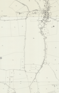
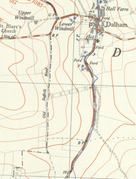
My posting frequency, and indeed plan to restore a heap of the missing images on this blog, has been a little sub-optimal recently if I’m being honest. I hope to fix that a little now, so riveting content will come pouring out. And what more fascinating place to start than the Old Suffolk Road? It’s the straight line through the middle of the above map, whilst the road had evolved to go through the village of Dalham. It intrigued me as the initial route is a far more sensible one and it also appeared to be higher up, suggesting an ancient route. There are also Roman roads in the area and this track is certainly fairly straight, even though it’s now just grass and there’s no firm surface.
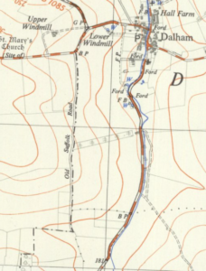
It’s more evident from this more recent Ordnance Survey map from the 1950s (this is out of OS copyright, I’m not randomly stealing their maps).
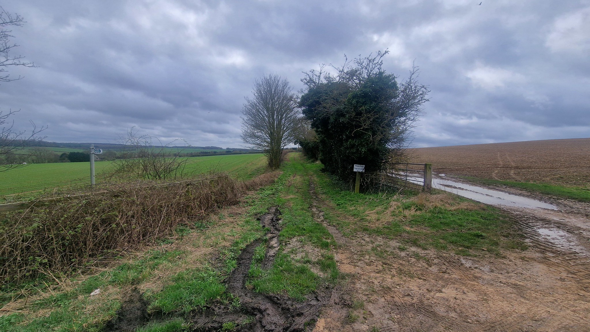
There’s the northern entrance to it, the width of a road but no evidence that it has even been a firm surface.
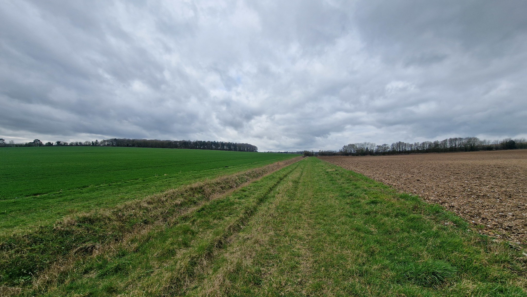
It’s certainly a sizeable trackway.
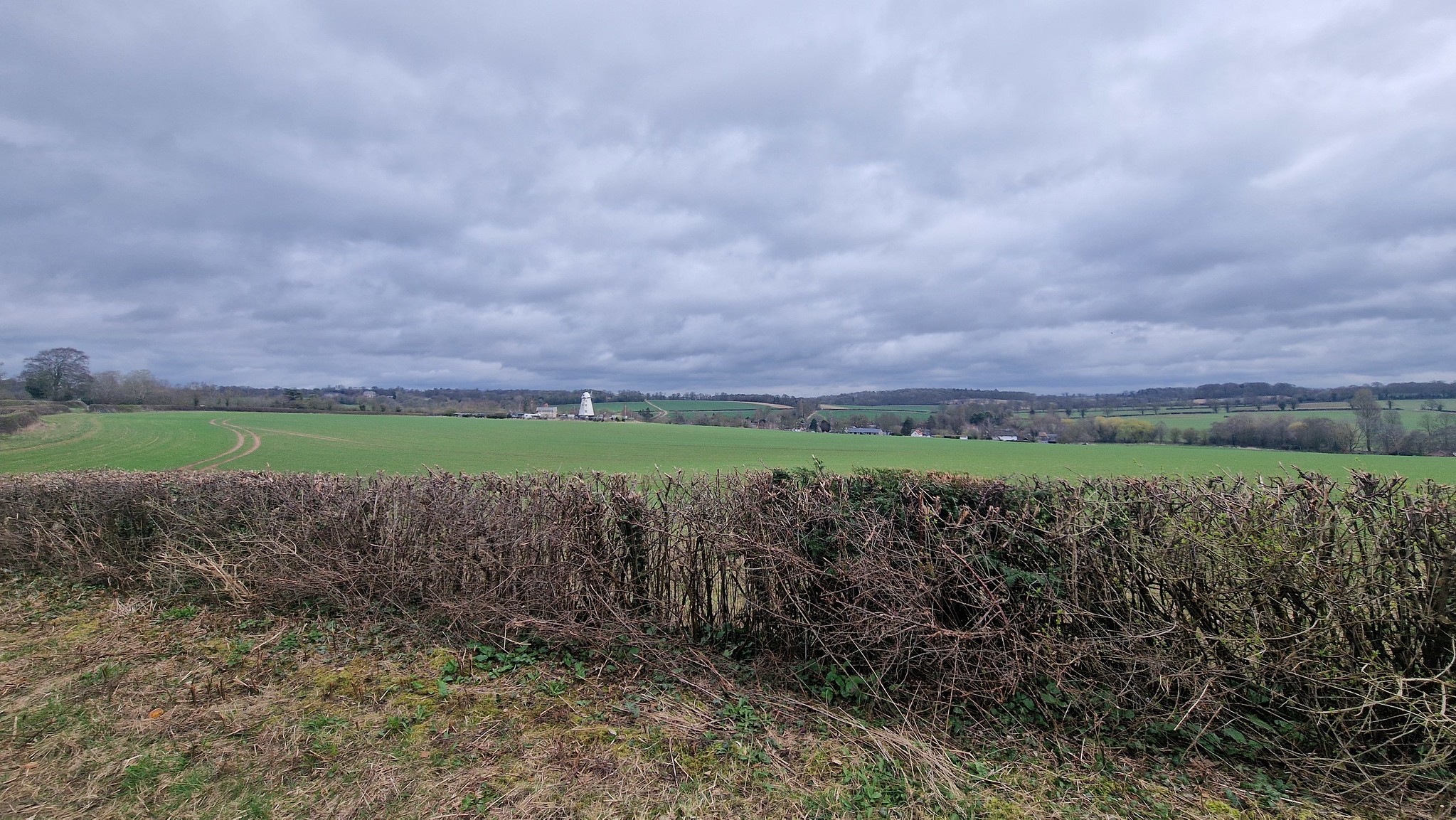
The view over the local countryside, including the windmill at Dalham.
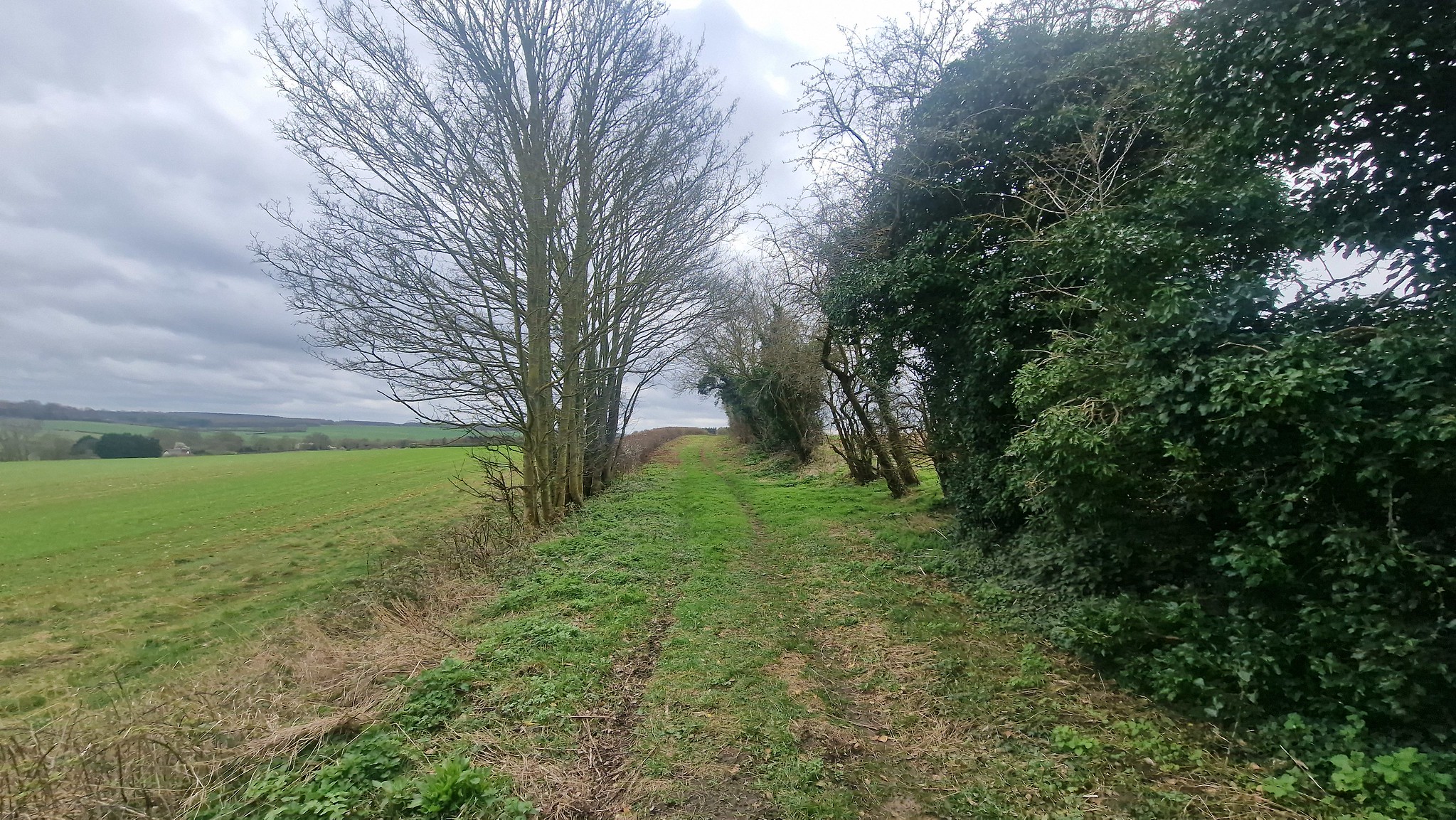
It started to become evident from this that the pathway was an ancient route.
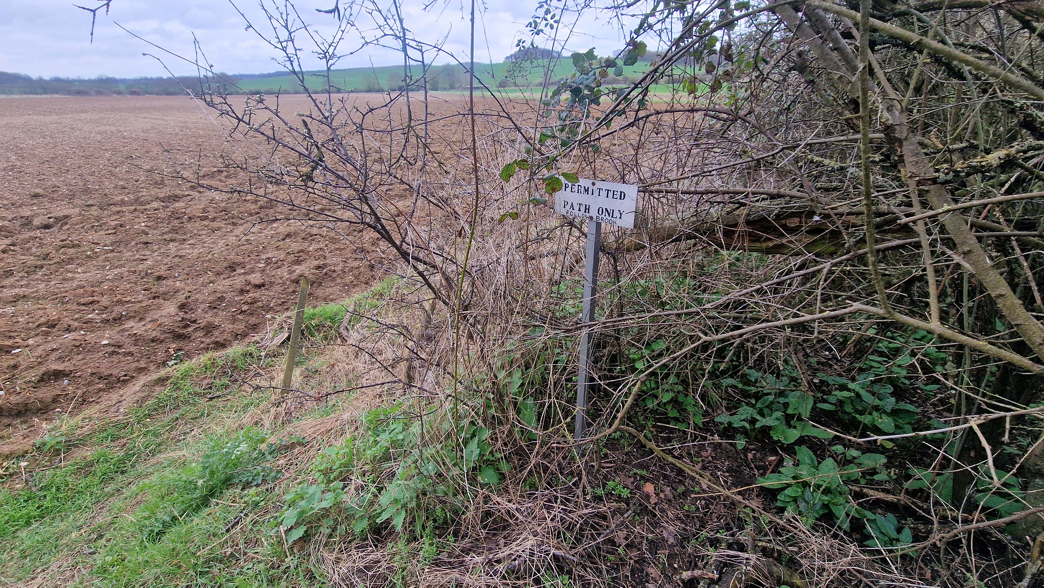
And then it suddenly stops dead and walkers have to cross the field to rejoin the road. It says that it’s a permissive path (well, permitted path here), although there appears to be evidence that this was a footpath and should perhaps be registered before the 2026 deadline, but there don’t appear to be any access issues here anyway.
The tree line to the right is where I walked, straight ahead is where the path stops and to the left there’s still some evidence from the ground where the track went, although it’s hard to see in this photo. What’s also interesting (well, to me anyway) is that this stretch of track is the border between Suffolk and Cambridgeshire, so there must be some historic element for this route for that to be the case.
This route is very near to the Icknield Way, the ancient trackway that went from Norfolk to Wiltshire, much of which is today the Ridgeway and Peddar’s Way. I can’t find out anything in detail yet about the origins of this route, but I’ve decided that for the moment I’m placing it as a pre-Roman road which was an ancient route that has just happened to survive in part in today’s landscape. Quite why much of it hasn’t been ploughed up, I’m not entirely sure, although that’s what has happened to the southern end of it nearer to Lidgate. As usual, I’m over-thinking this no doubt, but I find it all rather intriguing to think that I walked along a route that has been in use for thousands of years.

