
I accept that many of these photos are probably best not submitted to an international photography award, but they’ll have to do. The buildings were doing their best and any shortcomings in their appearance were largely on my side of the arrangement if I’m being honest.
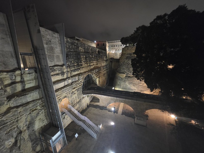
A look down into Valletta’s substantial defensive ditch, part of the fortifications planned after the Great Siege of 1565. There’s a less obvious transport history here too, as Malta’s railway crossed the ditch to reach its underground Valletta terminus between 1883 and 1931. There’s a decent website at https://maltarailway.net/ which tells the story of this railway, which would have been something of a key tourist attraction if it had survived.
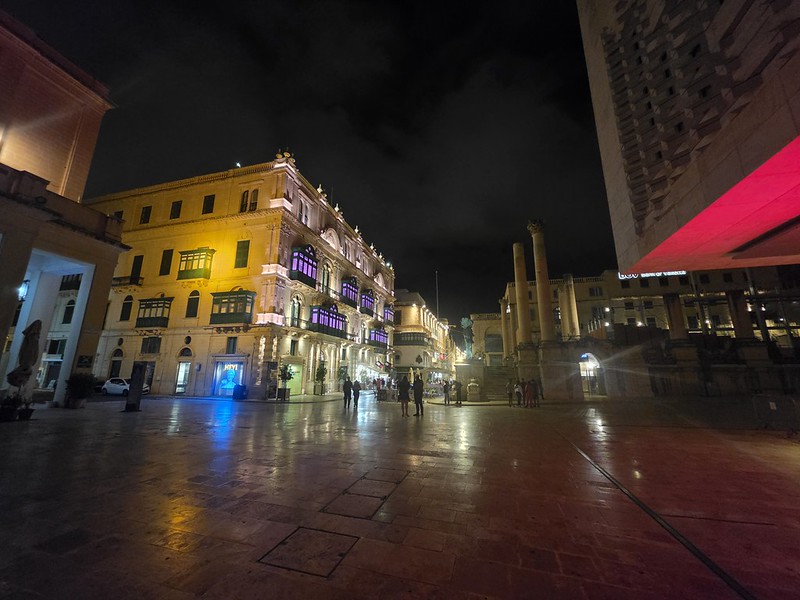
The ornate building on the left is Palazzo Buttiġieġ-Francia, commonly known as Palazzo Ferreria. Built in 1876 to designs by Giuseppe Bonavia, it occupies the site of the Knights’ former foundry. A rather substantial change from producing metalwork to providing something attractive for tourists to photograph, but times change.
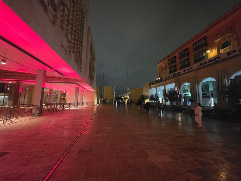
Looking towards City Gate, which forms part of Renzo Piano’s modern remodelling of Valletta’s entrance. His design replaced an earlier gateway with a narrow opening between enormous stone walls, deliberately revealing the depth of the fortifications.
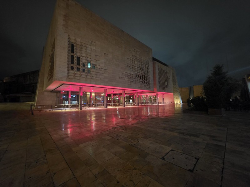
Malta’s Parliament building, designed by Renzo Piano and inaugurated on 4 May 2015. Its limestone came from Gozo, although the blocks travelled to Italy to be shaped before returning to Malta. A slightly sub-optimal way of getting there, but I could hardly complain given I was flying from Warsaw to Norwich via Malta.
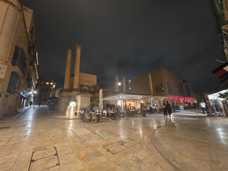
The columns belong to the remains of the Royal Opera House, designed by Edward Middleton Barry and opened in 1866. The theatre was devastated by bombing in April 1942, with its ruins eventually incorporated into the open-air Pjazza Teatru Rjal, inaugurated in 2013.
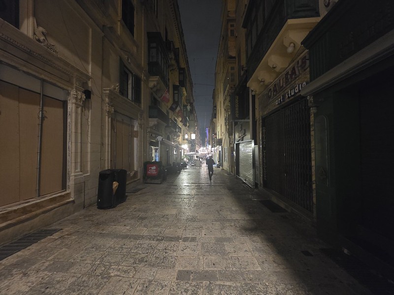
One of Valletta’s quieter streets, following the grid that has shaped the city since its foundation in 1566. This was a carefully planned Renaissance capital, rather than a settlement that gradually acquired streets wherever there happened to be room to shove them in.
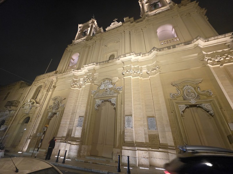
St Augustine’s Church looking rather magnificent illuminated at night. Construction of the present church began in 1765 to designs by Giuseppe Bonnici, with Antonio Cachia continuing the work after Bonnici’s death. It was inaugurated in 1785, although it only became a parish church in 1968. A suitably measured approach to the administrative arrangements, even by ecclesiastical standards.
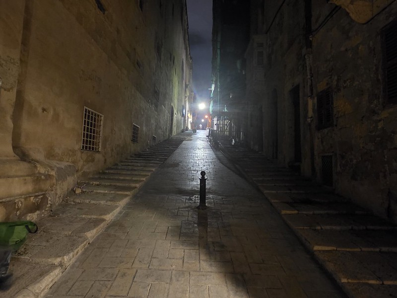
Valletta’s orderly street grid was laid across a distinctly uncooperative peninsula, which explains why a straight road doesn’t necessarily mean an easy walk. The city’s military planning produced strong defences and direct routes, with the steps like that so knights could more easily run up them in their armour.
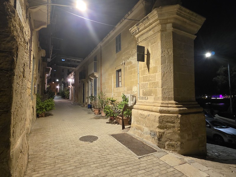
A quieter little corner of a city originally built by the Knights of St John, with construction beginning in March 1566. Their new capital combined formidable defences with churches, residences and the everyday life of shopping and eating. The pot plants provide a welcome domestic touch to soften the stonework. Indeed, a few strategically positioned shrubs can do quite a lot to suggest that the prospect of invasion has definitely receded.
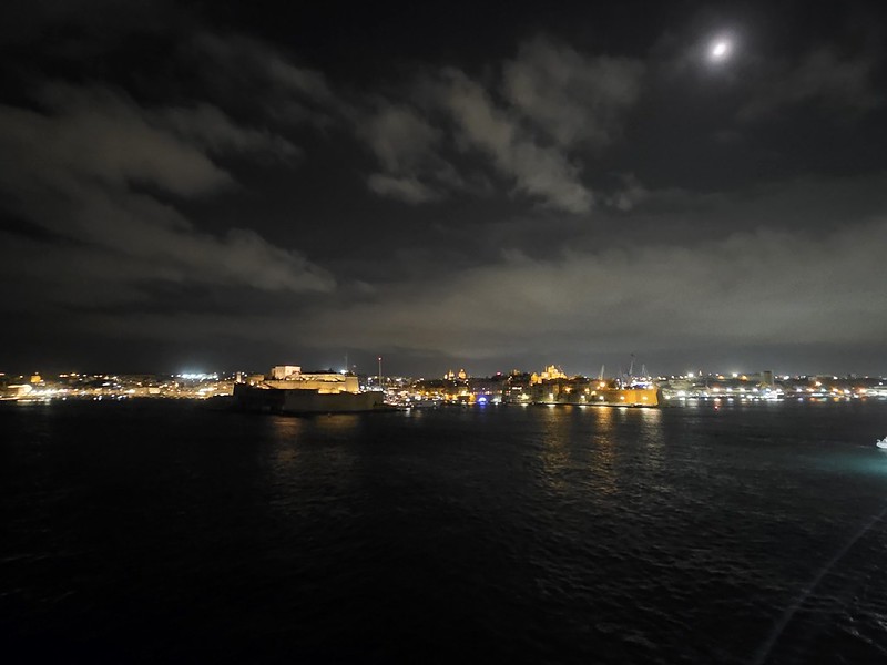
Looking across the Grand Harbour towards Fort St Angelo, the illuminated fortress on the left. The Knights made it their headquarters after arriving in Malta in 1530, and it played a crucial role during the Great Siege of 1565, before Valletta existed.
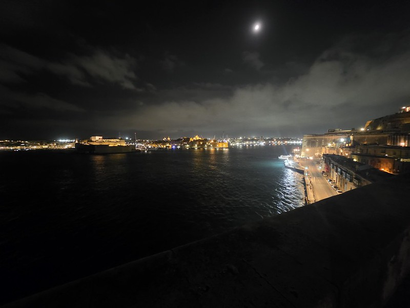
Another view across the Grand Harbour, whose military importance continued long after the Knights had departed. Fort St Angelo later became a Royal Navy shore establishment, serving until the final British forces left its walls in March 1979. A harbour with a considerable amount of history, much of which I was appreciating from the agreeable position of not being responsible for defending it.
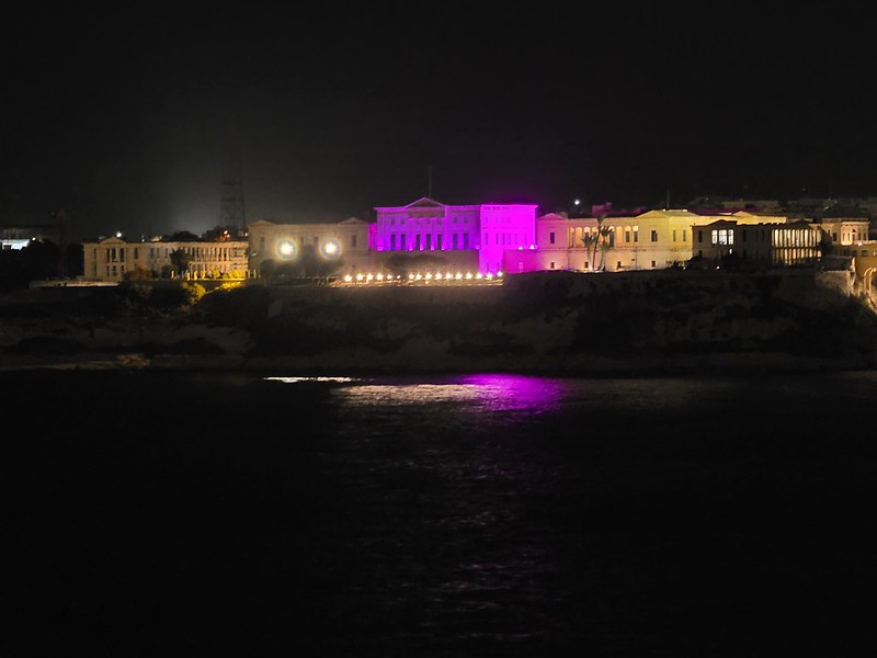
The Bighi complex across the harbour, illuminated with considerable enthusiasm. The site became a British naval hospital in the nineteenth century, with its foundation stone laid in 1830, and cared for casualties from conflicts including the Crimean War and both world wars. Part of the historic complex now houses the Esplora science centre. Quite a history behind something I initially photographed because it was pink.
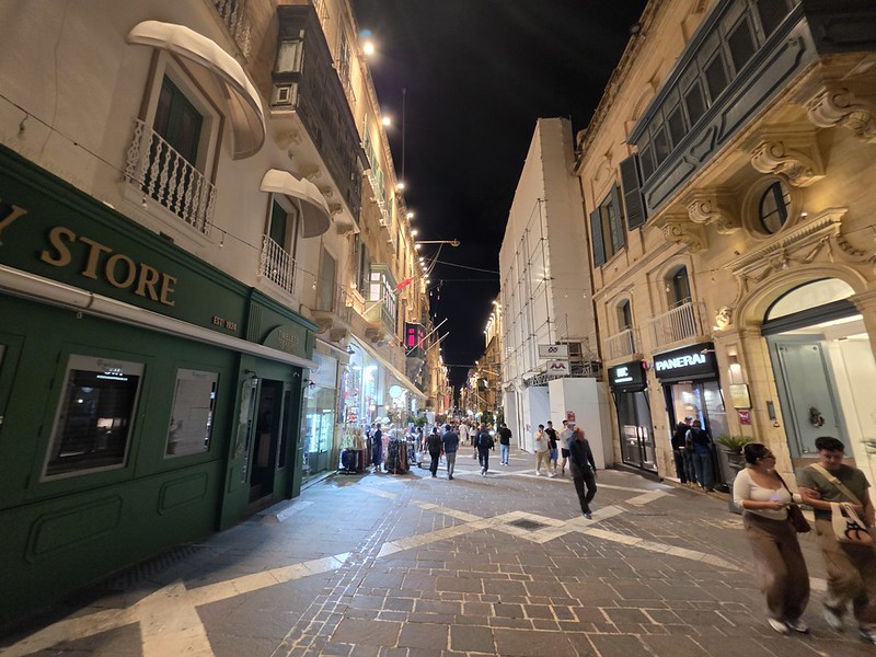
Those enclosed wooden balconies are known as gallariji, one of Malta’s most distinctive architectural features. Documented examples date back to the late seventeenth century, when they were initially something that wealthier households could afford before becoming more widespread. An elegant way of extending a room and maintaining a discreet interest in everyone else’s arrangements.
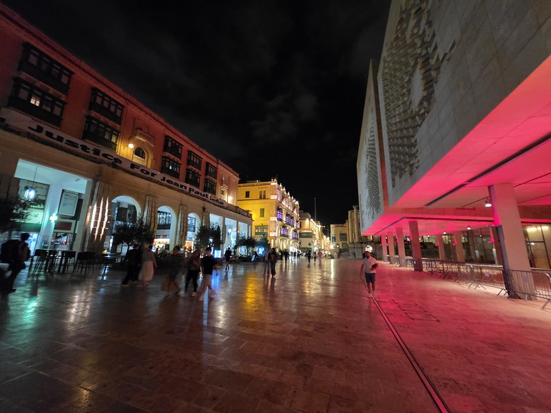
Back beside Parliament, which occupies the former Freedom Square, previously used for markets, events and parking. Before moving here in 2015, Malta’s parliament met in the Grand Master’s Palace, initially in its Tapestry Chamber and later in the former armoury.
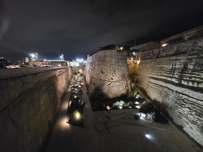
A final look into Ġnien Laparelli, the garden named after Francesco Laparelli, the military engineer responsible for planning Valletta’s defences. This ditch was intended to prevent attackers from reaching the city walls, although it later accommodated railway infrastructure, wartime shelters and parked cars before its partial transformation into gardens.