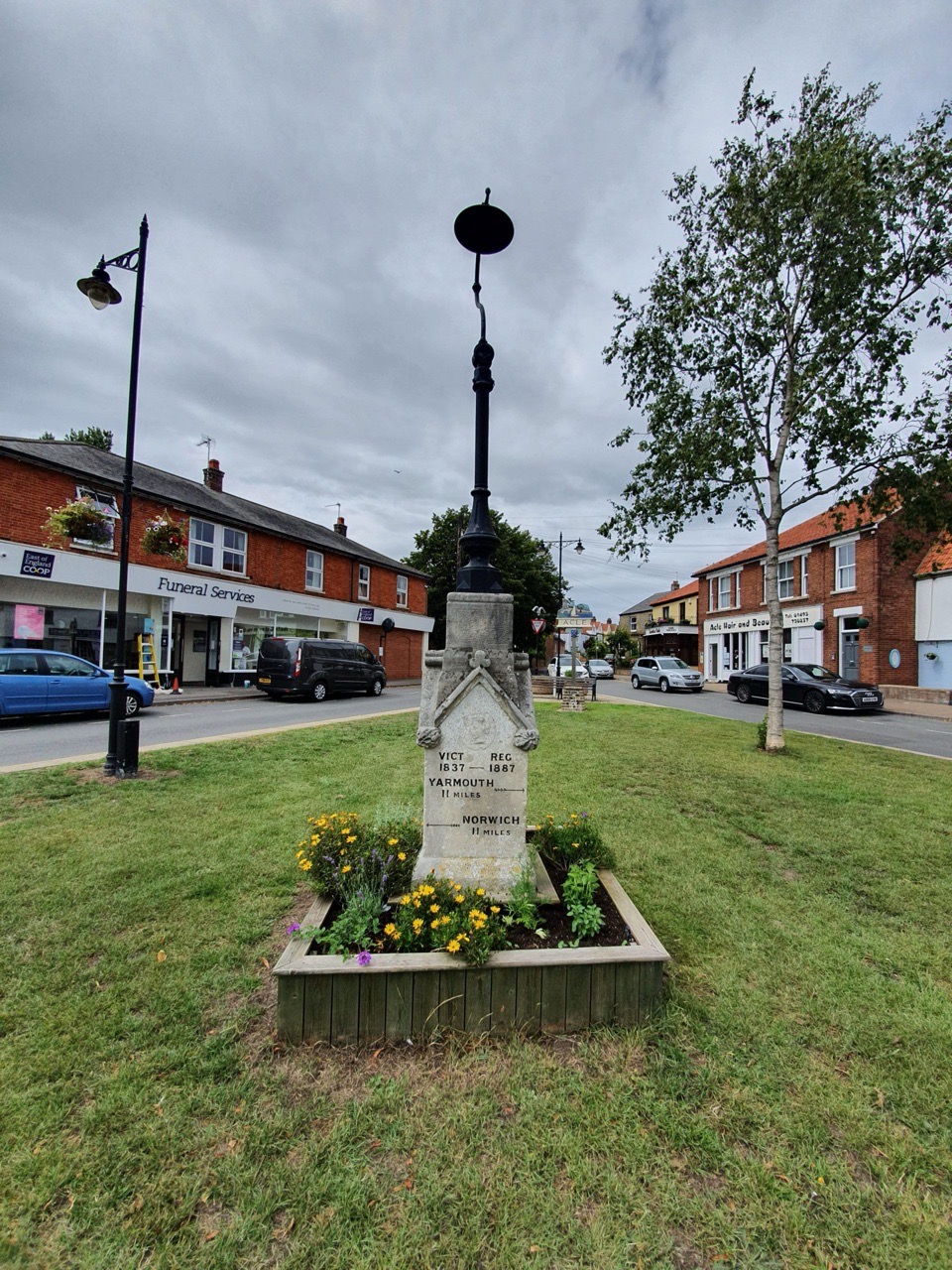
This plaque, marking the opening of the 3-mile long £7.1 million Acle Bypass, is on the town’s Jubilee Memorial. I’m not sure many towns put a sign up about the road which bypassed them, but I can imagine what a problem it was having large numbers of vehicles ploughing through the middle of Acle en route between Norwich and Great Yarmouth. As the sign suggests, the bypass was opened on 14 March 1989 and there was a well-attended street party, carnival and fete in June 1989.
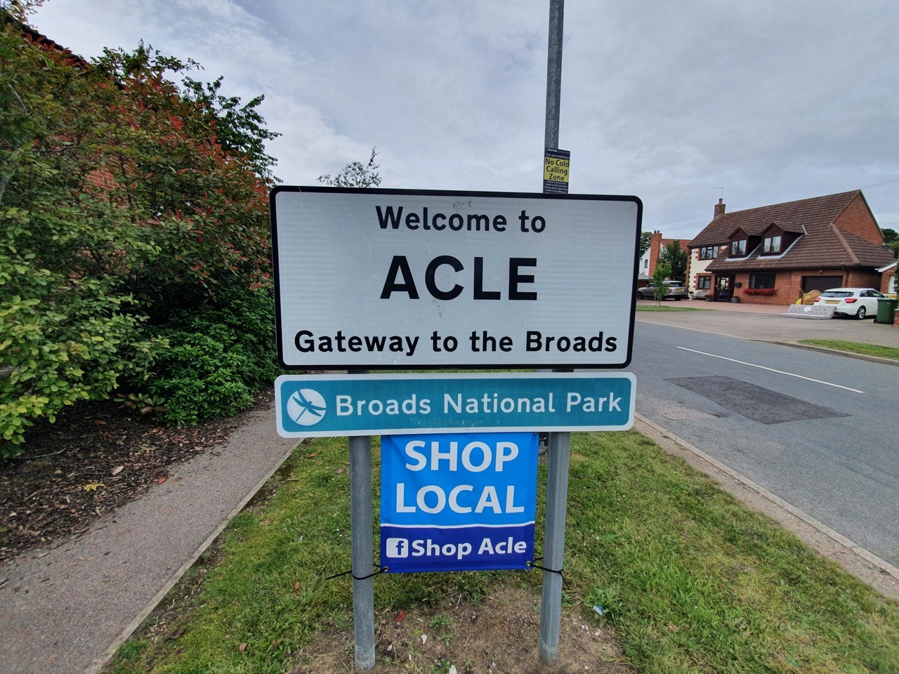
After my expedition to Acle today (OK, it’s not exactly the remote hinterlands of Europe, but everything is relative at the moment), this is what The Concise Oxford Dictionary Of English Placenames have to say about the name origin of the town.
Acle, Norfolk. Acle in Domesday Book, Achelai in 1159, Acleda in 1186, Aclee in 1197. From Old English Acleah meaning oak wood.
This sounds an easy one for the dictionary, which is clear that Acle, and other settlements which are spelled Oakley, come from the old English word for an ‘oak wood’. Others define it as oak-lea, ie, a cleared settlement or meadow by the oak trees. Either way, Acle’s history is based around oak….
Incidentally, the Woodland Trust have a tree register at http://woodlandtrust.org.uk/, with two ancient oaks listed nearby to Acle. There are some oak trees in the UK which are older than 1,000 years old, it would have been quite appealing to have had one of that age near Acle still standing. But there isn’t, but there we go, can’t have everything…..
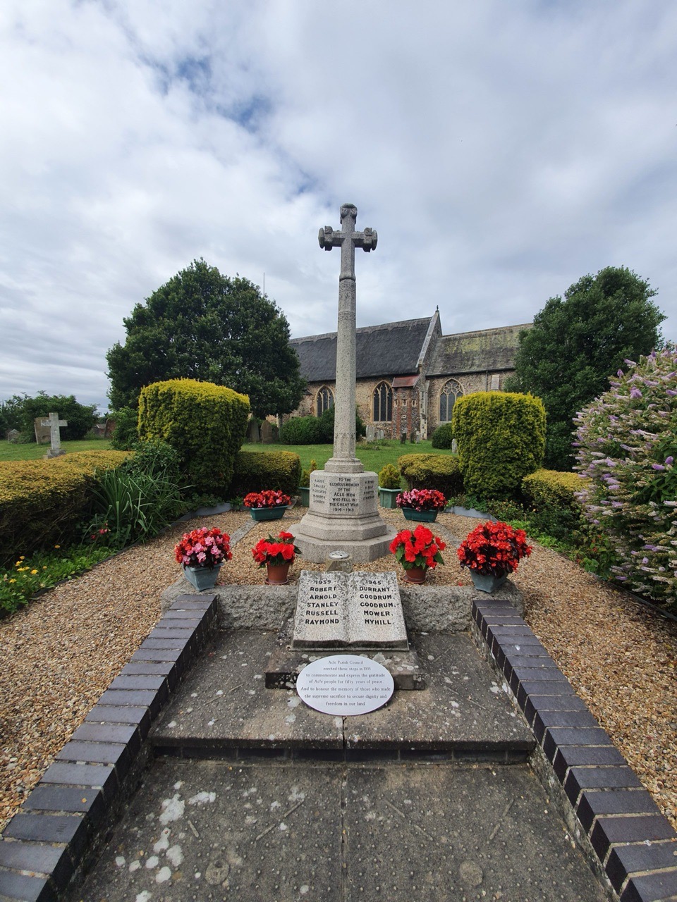
The town’s war memorial is located in the churchyard of St. Edmund’s Church in Acle.
The war memorial was unveiled on 18 December 1921 by the sons of Edward Cushion and Owen Waters, two of the men who died during the First World War.
There are 28 names from the First World War on the memorial, which is made from granite and overlooks the Norwich Road.
An additional five names were added following the end of the Second World War. In 1995, there was a renewal of the area to mark 50 years since the end of the conflict, with steps being added to the war memorial.
As it looked in the 1950s before the building of the steps.
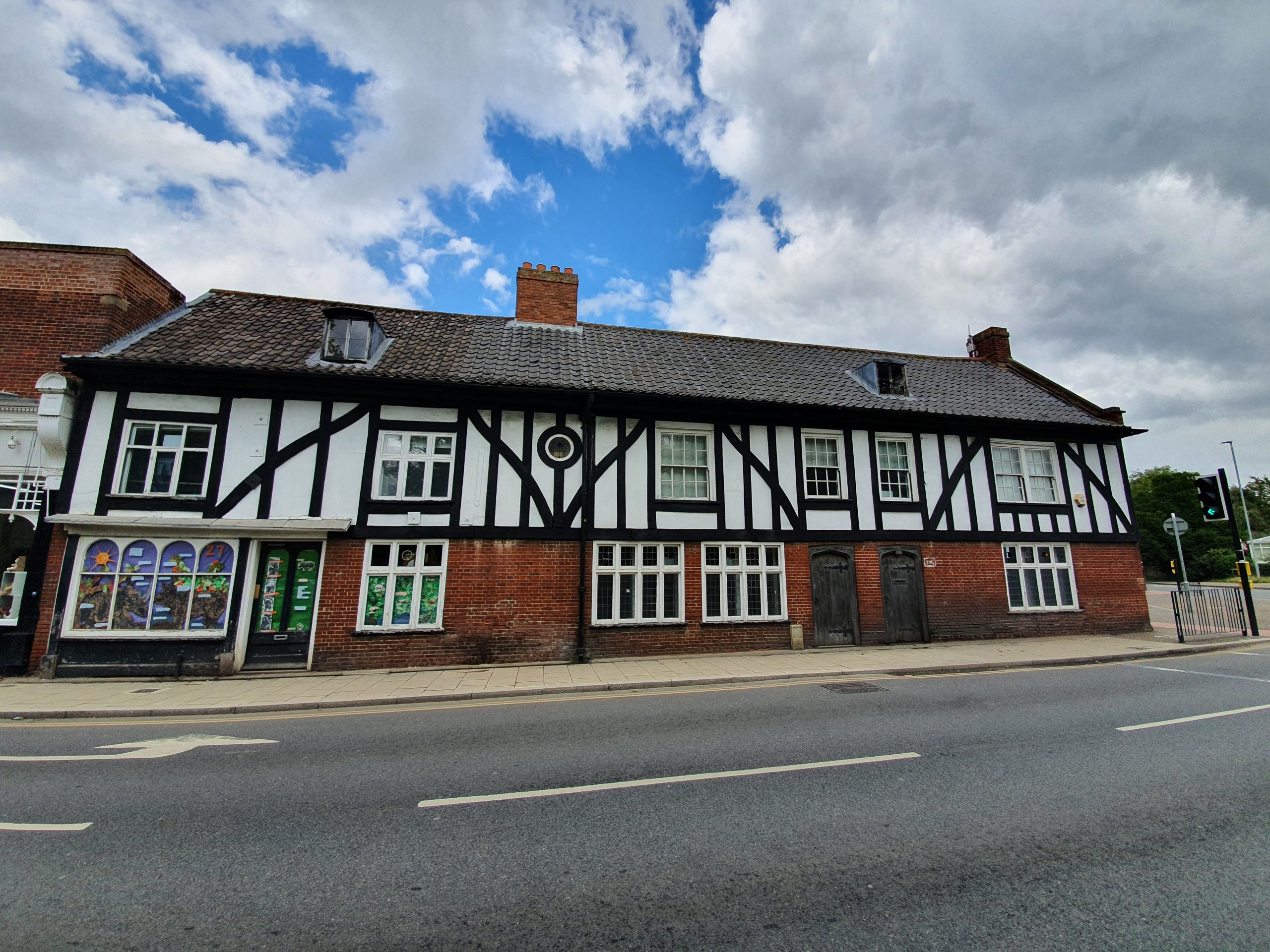
This puzzled me for a while (as many things do), as I took a photo of what looked like a restored building with some interesting period doors. However, it wasn’t on the listed building register, and this is likely because it’s a fake twentieth century Tudor facade. Although, interestingly, the building behind this frontage is from the late sixteenth or early seventeenth century. The structure has been heavily changed and modified, but it’s a shame that more of the original structure can’t be seen. Given this internal heritage, it’s also slightly surprising that the building isn’t listed, as the bar for this is relatively low. Its lack of excitement must have been evident to George Plunkett, the photographic recorder of so much of Norfolk, as he didn’t take a photograph of it, instead focusing on other nearby buildings on this road.
After my expedition to Attleborough last week, this is what The Concise Oxford Dictionary Of English Placenames have to say about the name origin of the town.
Attleborough, Norfolk. Atleburc in Domesday Book and Atleburc in 1194. Aetla’s burg.
The ‘burg’ here means a fortified settlement and it was under the control of Aetla. It was quite a substantial town when the Domesday Book was compiled, with 71 settlements being recorded. There’s something that can be gleaned here from how Atleburc would have been pronounced, as if every syllable in this is spoken, then it does sound similar to today’s spelling (or it does to me anyway, others may differ….).
The grave of Theodosia Colman is located on a path, which isn’t really ideal, at St. Mary’s Church in Attleborough.
Theodosia was born in 1752 as Theodosia Howes and she married William Colman on 6 February in 1778 in Besthorpe, a village near to Attleborough. Theodosia died at the age of 76 on 12 October 1828 and was buried on 18 October 1828 at a service overseen by the curate, John Fairfax Francklin.
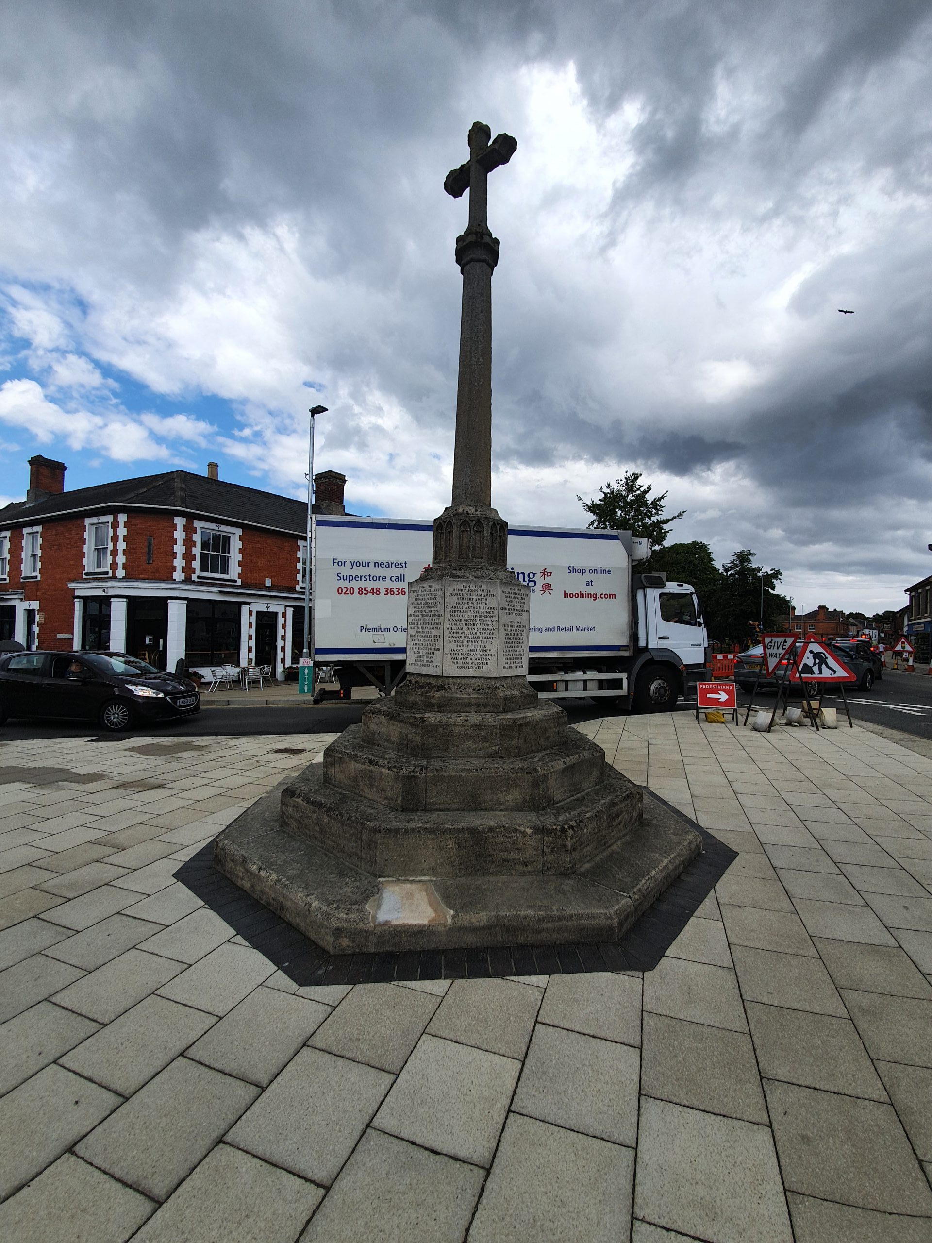
The war memorial in Attleborough, located at the end of Queen’s Road, was designed by local sculptor AJ Harrison at a cost of £350, which was funded by public subscription. The memorial was unveiled on 27 June 1920 by Earl Albemarle at a ceremony attended by the Bishop of Norwich, which followed a service at St. Mary’s Church. Former servicemen and relatives of the dead walked to the memorial from the church whilst the Norfolk Regiment band played Beethoven’s Funeral March. At the end of the service, the Regiment band played Chopins’s Funeral March and finally, a bugler played the Last Post
There are 101 names on the 20-foot high memorial from the First World War, with 24 names added following the Second World War and an additional name from the Korean War. The full list of names of those who died during the First World War is at the base of this post, below the photos of the memorial below.
Barnard, Bertie
Beckett, Leonard
Bishop, Robert Sidney
Blaxall, Ernest William
Briggs, Elijah Samuel
Briggs, Percy William
Britnell, William Edward
Butcher, William Clarence
Chandler, Herbert
Chaplin, Charles Edward
Chapman, Bertie R W
Chapman, George Henry
Clarke, Alfred Bruce
Codling, Sidney F W
Coe, Cornelius Robert
Crummett, Frederick E
Cubitt, Terence A K
Dagless, Alexander
Dagless, Philip
Daynes, Albert
Daynes, Frederick John
Dunnett, Percy A
Dye, John William
Eagling, Arthur Walter
Edwards, Harry Ambrose
Edwards, John
Elvin, Ernest Robert
Elvin, Syndey James
Elvin, Wilfred Harold
Etteridge, Robert W
Fincham, Walter William
Forster, Philip James
Forster, Sidney Percy
Gapp, Sidney Jack
Gooda, Ernest George
Gould, Edward
Griffin, Arthur William
Griffin, William Albert
Halls, Frederick William
Hawes, Albert William
Hillier, Frederick William
Hilton, William Charles
Holman, William James
Howlett, Harry
Hunt, Arthur
Hunt, Ted
Hunt, William
Johnson, Robert Frederick
Lain, Frederick
Lain, John
Large, John Gerald
Laurence, Alfred
Lenney, George J W
Lincoln, Charles
Lincoln, Edward
Orford, Lancelot E
Ottaway, Walter James
Parker, Sydney Samuel
Patrick, Arthur
Patrick, Edward
Piercy, William John
Pinnock, William
Plumpton, Alfred
Ponder, Bertram Thomas
Pratt, Victor John
Rayner, George Alfred
Rayner, Walter Filby
Redit, Joseph
Redit, Sidney Charles
Redit, Walter John
Reeves, Arthur J
Rudd, Henry Reginald Wallace Kingston
Sharpe, Cecil G
Shaw, Albert
Shaw, Robert
Smith, Arthur George
Smith, George William
Smith, Henry John
Smith, Herbert
Speck, Frank W
Starke, Charles Arthur
Stebbings, Bertram E
Stephenson, Harold
Stubbings, Leonard Victor
Stubbs, Robert Henry
Sturman, William John
Taylor, John William
Tillott, Leonard William
Tufts, George Henry
Tuttle, Harry
Viney, Harry James
Warner, Forbes Mackay
Watson, Valiant A
Webster, William
Weir, Ronald
Weir, William Oswald
Welton, Norman
Woods, David E H
Yari, Ernest H
Youngman, Geoffrey W
Youngs, Percy
On this map of Attleborough from the early twentieth century, there’s B Gd. marked, or Burial Garden.
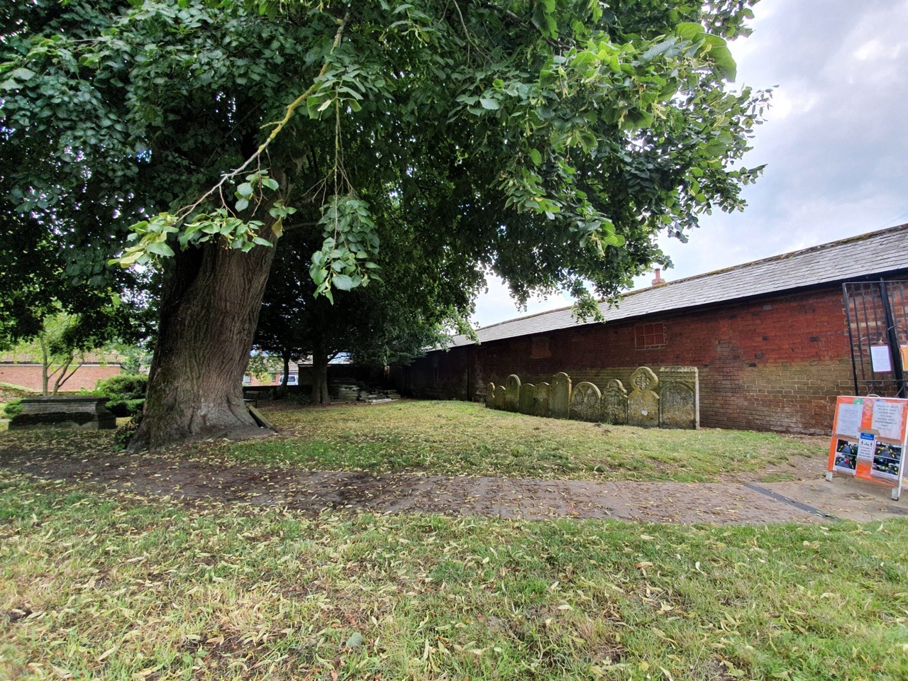
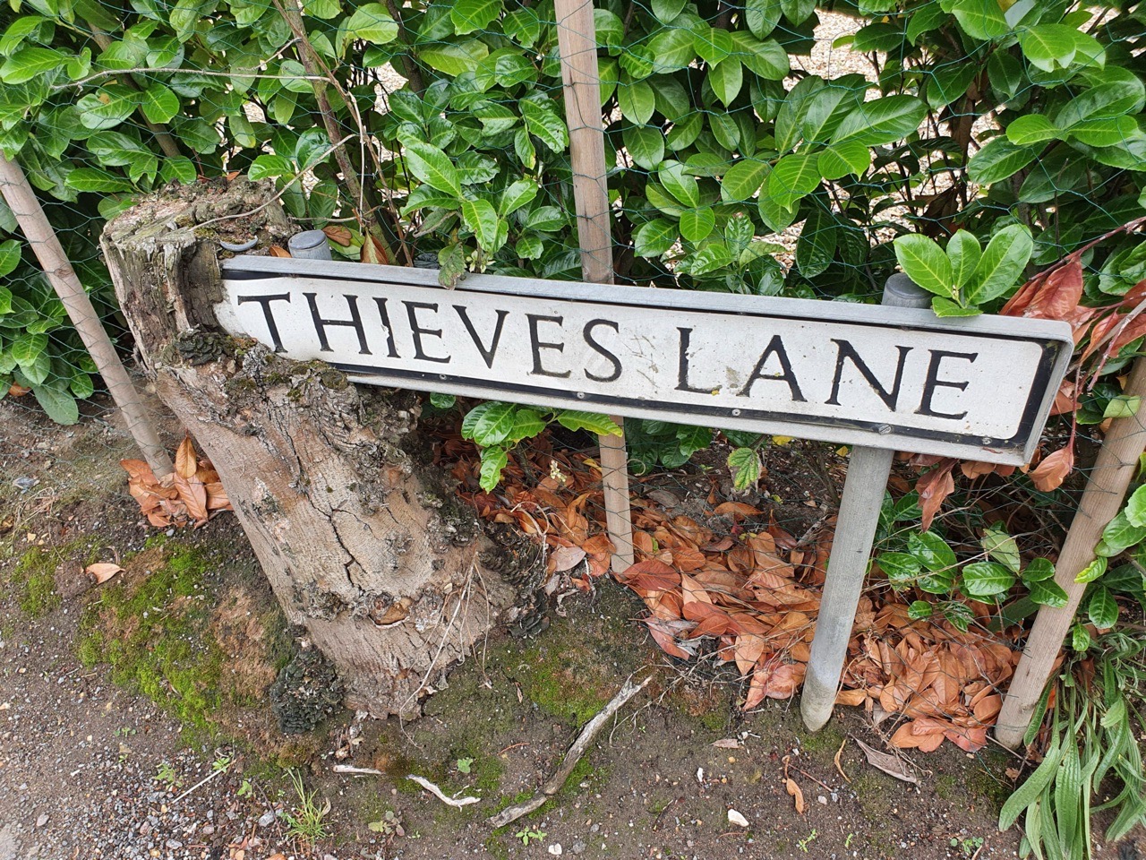
I didn’t add much to the debate on how Thieves Lane got its name, but one legacy that remains along it is the burial garden that remains along the road. The Wesleyan Methodist church opened here in 1809 and in the following year, this graveyard was laid out. The church built new premises nearby in 1872, on Station Road, leaving just the graveyard behind in a similar manner to that in Swaffham.
Today, the graveyard is a public park following its formal closure in 1991 for burials.
Most of the graves have been placed by the wall of the neighbouring building.
I like street names such as this, they sound like they have some interesting heritage. The book “the Newmarket, Bury, Thetford and Cromer Road” from 1904, which is intriguing in its own right, just makes reference to this being where thieves may once have preyed on locals. But, it’s clear the author probably doesn’t know. And, I can’t find anything else about this beyond it probably being an area where some crimes had been committed long ago, giving it a bad reputation.
The tree seems to have partly consumed the sign.
And the dangerous lane…. It’s not the most prestigious of road names to live on, but it’s memorable at least.
One advantage of looking at medieval churches in remote villages is that the buildings make some sort of sense to someone such as myself, who has a limited understanding of the architecture and evolution of the structures. St. Mary’s in Attleborough makes, at first sight, very little sense with all of its all additions and removals over the centuries. There has been a church here since Saxon times, likely the ninth century, although the current structure is mostly from the eleventh century onwards.
Unfortunately, this plan isn’t the clearest in terms of the quality. But it’s indicative at least, the north porch is visible on the left and Mortimer’s Chapel in the top-right.
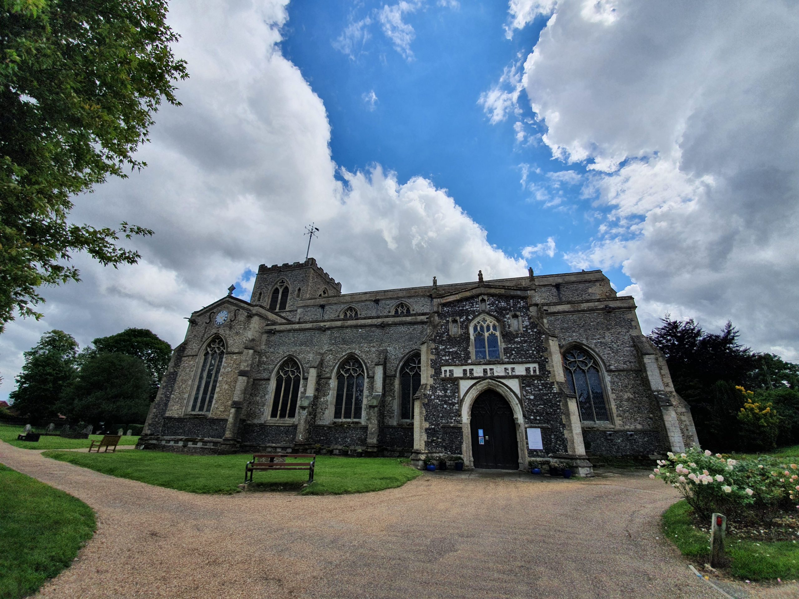
This is the north porch and work started on this in the late fourteenth century and it was completed early on during the fifteenth century. Unfortunately, all of the statues which once stood in the niches are no longer present.
The west end of the church.
The area between the north porch and the west end of the nave.
Back to the north side of the building, this is the outside of the north aisle, which was a later addition.
The church’s complexity is evident here, it looks more like a closed down priory converted into a new building. But, this is where the chancel once stood, which was taken down in 1541. The tower, which dates from the twelfth century at the base and the thirteenth century at the top, then became the east end rather than the central tower that it once was. It also left a rather muddled appearance, although it all adds character. The tower did once have a spire that was built in around 1300, but that fell down in around 1700. Which isn’t entirely ideal.
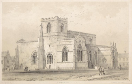
An illustration of the church from the mid-nineteenth century.
An old doorway in the base of the east end of the church.
This is the south side of the church, where a new extension was added in 1994 to house a community centre.
Given the current health situation, the interior of the church wasn’t open, but I understand it’s worth seeing with numerous old treasures, including wall paintings and the rood screen. So, I’ll meander back at some point.