


On the 29 to 31 May 2021, the LDWA’s 100 mile event will be taking place. Unfortunately, national restrictions mean that the Y 100 Sir Fynwy won’t be taking place as hoped, when in more normal times the South Wales group would have welcomed hundreds of walkers. Instead, there is the chance for entrants to walk a 100-mile route of their choice anywhere in the country, so the event has more of a national feel this year. And it’s fine to enter to do a shorter distance, with anyone walking 50 miles in 24 hours qualifying for the 2022 Trans-Pennine 100.
I’m taking part in the 100 and I’ve been compiling some resources relating to that. When the new LDWA web-site is launched, this and lots more other material relating to the event will be copied there. Over the next few weeks, I’m speaking (well, writing) to entrants on the 100 and following their efforts up to, and after, the big day. We’ll be using the text from these interviews and updates on social media and also perhaps in Strider, the LDWA’s rather excellent magazine which is sent to our 10,000 members. Hopefully it’ll help inform, educate and inspire others to take part or become involved with the LDWA in other ways.
For anyone who wants to take part in the event, have a look at the SI Entries page, or further information at the LDWA’s web-site.
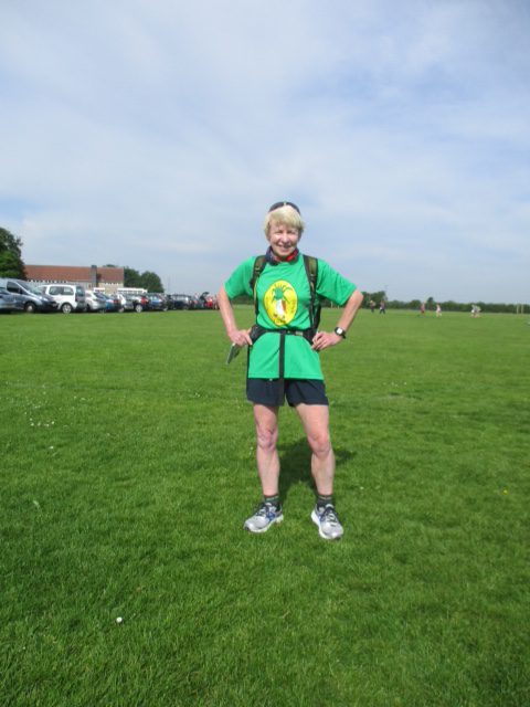
And this interview is with Kathy Tytler and the Percy Pigs is a great idea, I don’t think that I had them on my extensive food list. Not sure I want to experience a chasm in my mind during the latter part of the walk, but it’ll be some excitement I suppose….
You’ve completed numerous 100s in the past, what makes you keep coming back for more?
I love the event. It is great to see everyone and we get to visit so many interesting parts of the country. There is nothing like the feeling of completing the 100, a mixture of pain and ecstasy.
What route are you planning to take?
I have modified the route of the Centurion Running 100 mile trail race, which is based at Goring – the crossroads of 2 National Trails, The Ridgeway and The Thames Path. It uses 4 different out and back 25 mile routes. My modification is that I start and finish at my house, joining The Thames Path at the appropriate point in Reading.
Are you following a GPX route, a map, or do you already know your route well?
I know most of the route very well. The Thames Path from Reading to Goring is home territory, and I have completed The Ridgeway Challenge Trail Race several times. Being National Trails they are well-signed, but of course I will be carrying my maps and compass.
What training are you undertaking at the moment?
I am increasing the time I am spending on my long walks, currently exploring Reading and beyond from my front door – and have discovered some very interesting places. Often I walk with my neighbour, Jocelyne.
Do you think this will be easier or harder than the actual 100 that is traditionally held?
Being on familiar territory should make it easier, and there are fewer hills than on recent 100s. Mentally it may be more difficult, not having the lovely people at the checkpoints to look forward to and the lure of the railway station with its regular trains to Reading, each time we return to Goring
What support will you have during your walk?
Pat Seabrook and I plan to walk together, as we have done on many 100s. I have invited friends to walk sections with us, or to come to Goring to meet us. A couple of people are interested so far. We plan to start at dawn on the Saturday and my neighbour has said to call for her and she will walk to Goring with us and get the train back.
What food treats are you taking with you?
Percy Pigs! and other sweets.… A balance of sweet and salty – pretzels are easier to carry than crisps. A load of flapjack for sustenance. Maybe I can find someone who will let us set up a treats box in Goring?
You took part in the Hadrian 100 that was very tough at night with the weather conditions. Would you say that was your toughest 100?
The part after Greg’s Hut was very hard, not helped when we missed the flags and veered off track. Despite wearing 2 layers of waterproofs I was still soaked to the skin. We got to Dufton and retired. Luckily I wasn’t aware of the devils and demons that are said to haunt Cross Fell (aka Fiend’s Fell).
All 100s are challenging, but the ones I have retired on must be the hardest!
What tactics do you think you’ll use if you feel like giving up on the walk?
As I will be quite near home and I will have told a lot of friends what I am doing, there is the threat or promise that they may pop up at any time along the route.
Are there any wildlife that you’re concerned about meeting on the walk? Sheep, cows, snakes, pigs, or anything else?!
Ghosts on The Ridgeway! It is such an ancient track that there must be some, but I have been there at night many times on The Ridgeway Challenge and it’s been OK
Do you have any foot care tips?
I wish! Every time I think I have got the right shoe/ sock/ foot cream combination, I have problems on my next long event.
Would you say you’re looking forward to it?
Yes I am. After so many cancellations and am hoping that this is something that will go ahead
Have you had hallucinations during a 100 walk?
Yes, one of the things to look forward to. Often entertaining, only occasionally scary – when we reached a black tarmac road after crossing the rough moorland in the Elan Valley on Cant Canalberth, it looked like a chasm and I had to test it before I stepped onto it
Do you have a time in mind of how long it’ll take you to finish?
By starting at dawn we will be maximising the use of daylight and hope to finish before dark on Sunday – for the first time ever!
Do you have any advice for others, one top tip about long distance walking?
Once you get started don’t think of the whole distance, break it down into manageable chunks. Promise yourself something really good when you have finished.
What would you say to anyone thinking about entering the 100, or thinking about doing a 50 mile challenge event, who might be a bit nervous?
If you are worried about the night sections, recce it before in daylight if you can. Night walking is great – enjoy it, try not to worry too much about who or what is out there.


