Tag: Walking

  • Paul Whitewick and Inaccessible Open Access Land Interview

    Paul Whitewick and Inaccessible Open Access Land Interview

    I wrote earlier in the week regarding a video made by Paul Whitewick which looked at the problem of open access land which is inaccessible. As I mentioned in my post, this wasn’t something that I had given much thought to, but it’s a serious issue that I’m pleased someone has brought attention to.

    Paul was kind enough to answer some of my questions about his video and about the issues that he raised.

    Q. What first led you to investigate areas of open access land that the public is legally entitled to use but cannot lawfully reach, and when did you realise that this was more than an isolated mapping anomaly?

    A. I first came across this issue about four years ago, when a friend alerted me to the rather bizarre spectacle of land that the public has a legal right to access, but no legal way of reaching. We made a video about it at the time, but what we hadn’t appreciated was just how many of these places existed. Four years later, I wanted to revisit the subject and see whether anything had changed. Has access improved? Has anything been done to address the problem? And, perhaps more importantly, was this a peculiarity confined to a few places in Wiltshire, or something much more widespread?

    Q. You identified substantial areas of inaccessible access land in Wiltshire and later found similar examples elsewhere. How widespread do you now believe the problem is across England and Wales, and is there enough national information to establish its true scale?

    A. I think the problem is far more widespread than we originally thought. It may be less prevalent in the north of England and Wales, where there are much larger expanses of open moorland and mountain, but that’s only a suspicion. I’m no GIS expert, and it would take someone with the right skills to properly assess the scale of the problem nationally. I’m not currently aware of anyone who has undertaken that work. But there’s another complication, which I raised in the video. Mapping alone won’t give us the full picture. Ideally, you’d need to visit each location to establish whether there is any permissive access that isn’t shown on the maps. Equally, even where a public right of way runs alongside access land, you’d need to establish whether there’s actually a practical way of getting onto it. So I think the problem is considerably bigger than we’ve identified so far, but establishing its true scale would require both a national mapping exercise and some investigation on the ground.

    Q. At White Hill, the information boards encourage people to appreciate the wildlife while the missing stile and locked gates make reaching it difficult. Do you think this resulted from neglect, conflicting responsibilities or a deliberate attempt to discourage access?

    A. White Hill was particularly frustrating. You have information boards encouraging people to visit and appreciate the wildlife, yet the stile that once provided access has disappeared and the gates are locked. I’ve since learnt that archery events are held on the land, although I don’t know what arrangements are in place for those or how they interact with its open access status. As for why access has become so difficult, I genuinely don’t know. I’m reluctant to point the finger at individual landowners without knowing the full circumstances. It could be neglect, a misunderstanding of responsibilities or something else entirely. But ultimately, the reason matters less than the outcome. We have land that has been designated for public access, yet the practical means of getting onto it appear to have been lost. Surely that’s something worth investigating and, hopefully, putting right.

    Q. Have you been pleased with the response to the videos and have you received any responses from landowners, local authorities, access organisations or Government bodies since publishing them?

    A. I’ve been really pleased with the interest the videos have generated, particularly from people who have started looking at maps themselves and identifying similar places. It’s encouraging to see that people care about the issue. Unfortunately, the response from the authorities has been rather less encouraging. I’ve submitted eight reports concerning access problems in various locations over the past couple of years, and so far I’ve seen no evidence of anything being done about them. I appreciate these things can take time, and there may be work going on behind the scenes that I’m unaware of. But from my perspective, very little appears to have changed. I’m not holding my breath!

    Q. Has investigating this subject changed your wider view of the right to roam and the way countryside access is managed in England and Wales, compared to somewhere such as Scotland?

    A. If anything, it’s reinforced my belief that the right to roam can, and does, work. Scotland demonstrates that a much broader approach to countryside access is perfectly possible. I think one of the problems is that, particularly over the last decade, almost every issue in society seems to have become divisive, and countryside access has been dragged into that too. In my opinion, extending responsible access should be a relatively straightforward ambition, but the discussion so often becomes about something else entirely. Those opposed to greater access frequently raise concerns about litter, damage and irresponsible behaviour. And of course those are legitimate concerns. But as I highlighted in the video, that’s not really the argument. Nobody is suggesting people should be allowed to damage property, disturb wildlife or behave irresponsibly. We’re talking about giving people the opportunity to enjoy the countryside responsibly. I don’t see why that should be such a controversial idea.

    Q. LDWA members and local groups possess considerable knowledge of paths, access points and changing conditions across the country. Although we’re not a campaigning organisation, do you think that there is a useful role that LDWA members could play in identifying inaccessible access land or working with authorities and landowners to secure practical solutions?

    A. Absolutely. In fact, I think LDWA members could play a really useful role here. One of the biggest problems with my investigation is that I can identify potentially inaccessible land using maps, but I can’t possibly visit every location myself. That’s where people who regularly walk these areas could be invaluable. They may know of access points that aren’t marked on maps, permissive routes that exist in practice, or places where access has disappeared over time. Even simply recording these examples, with photographs and locations, could help build a much clearer picture of the problem. That information could then be passed to the relevant authorities or used to start conversations with landowners. I don’t think this needs to be about campaigning or confrontation. It’s about identifying a problem, understanding why it exists and hopefully finding some practical solutions.
  • Paul Whitewick and the Open Access Land Nobody Can Reach

    Paul Whitewick and the Open Access Land Nobody Can Reach

    Paul Whitewick’s video The Land You’re Allowed On… But Can’t Get To examines a particularly British contradiction that I’ve never given much thought to before, either through my work with the Ramblers or in my LDWA role. He begins by standing on land that he is legally entitled to explore, having reached it only by crossing private land without permission. The public therefore has a statutory right to be there, but no corresponding right to make the journey there. It’s like the Burger King outlets that show up on maps sometimes that are actually inside British military bases used by US forces, inaccessible to locals but still very much existing.

    The orange areas shown on Ordnance Survey maps identify land covered by the Countryside and Rights of Way Act 2000, generally including mountains, moorland, heath and downland. Unlike an ordinary public footpath, where walkers must follow the designated route, access land can normally be explored more freely for activities such as walking, running, bird-watching or having a picnic. There are approximately 1.3 million hectares of this land across England and Wales, although some portions appear to offer a legal right to picnic without any lawful means of transporting the sandwiches and chicken bakes there.

    Whitewick investigated the problem in Wiltshire four years ago and calculated that around five million square metres of designated access land had no public route leading to it. He has since found similar isolated areas in Oxfordshire, Hampshire and Sussex, including four separate parcels beside the Ridgeway. Reaching them would require walkers to cross private fields and potentially damage crops, which is neither fair to the farmer nor a particularly satisfactory interpretation of public access. Ultimately, it’s all rather sub-optimal.

    The problem becomes even stranger at White Hill near Kingsclere in Hampshire, where information boards describe the wildlife that visitors can expect to encounter on the access land. The adjoining footpath runs beside a continuous fence, a locked gate and stretches of barbed wire, while the stile mentioned in a Hampshire County Council leaflet is no longer there. Another gate carries a no-public-right-of-way notice, despite the land beyond it being designated for public access. The arrangements provide plenty of information about what can be seen, provided nobody develops the unreasonable ambition of actually seeing it.

    The Countryside and Rights of Way Act makes it an offence to display false or misleading notices intended to deter people from using access land, while access authorities have powers to arrange or construct suitable entrances. However, the removal of a stile is not necessarily an automatic offence unless protection for that access point has already been established. Whitewick demonstrates that he can climb a five-foot gate without damaging it, but asks what this means for older people, families with young children and anyone whose countryside equipment does not include the upper-body strength required for an assault course. I’m not going to mention friends by name here, but how could we get Richard over those fences? Getting Richard over one of those fences would require a detailed risk assessment and a lengthy period of negotiation, which is not exactly the sort of accessibility we should be aiming for.

    Whitewick is careful not to turn the issue into a dispute between walkers and landowners, recognising that irresponsible visitors, uncontrolled dogs and litter create genuine difficulties. His argument is simply that the public should be able to reach land which it already has the legal right to use, with education and cooperation offering a better solution than quietly making access impossible. He encourages viewers to identify inaccessible areas, report them to their MPs and support organisations working to protect countryside access. I personally want much more access to the countryside, although I accept that I don’t spend enough time in the sections I can freely access, and this seems like a very worthwhile issue which I’m pleased someone has thought to document as clearly as this video does.

  • North Ridge Shoes

    North Ridge Shoes

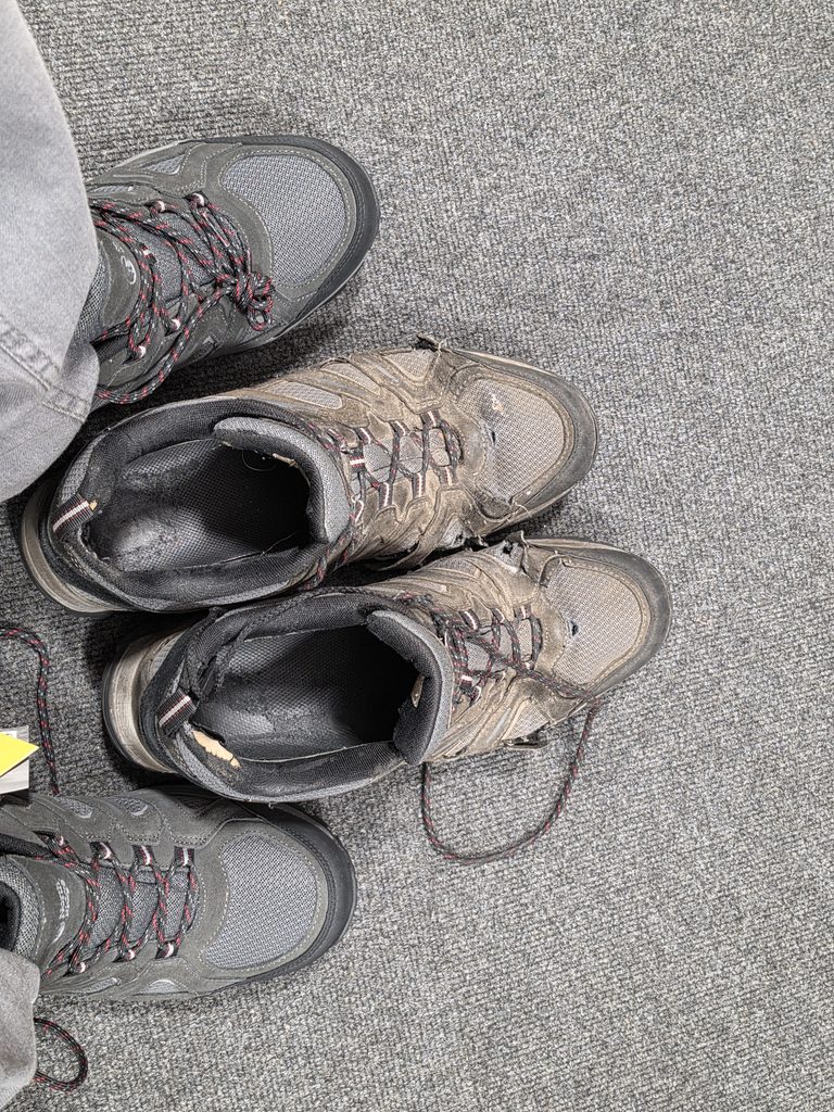
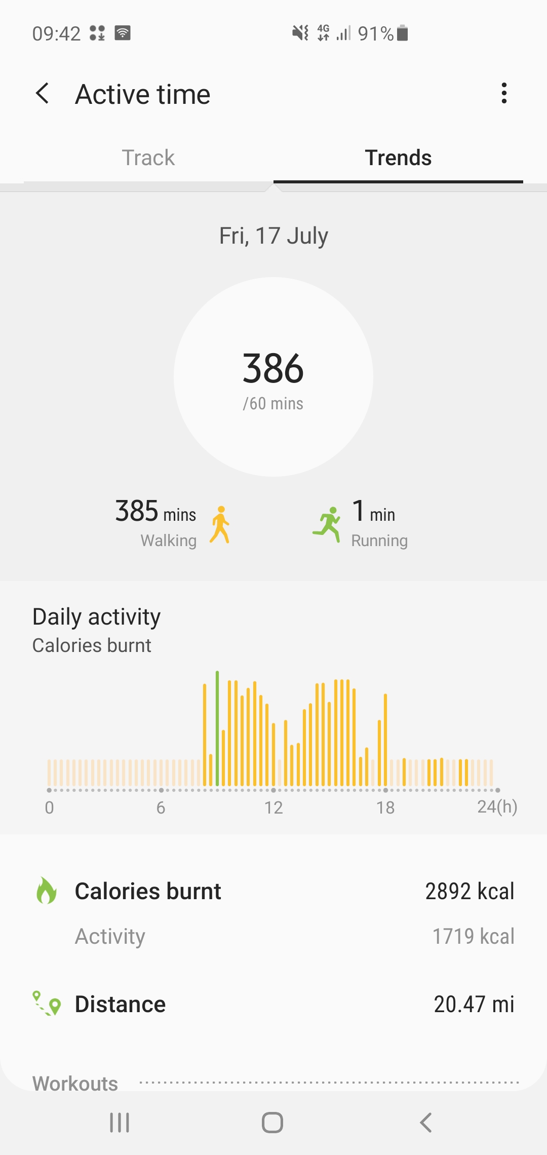
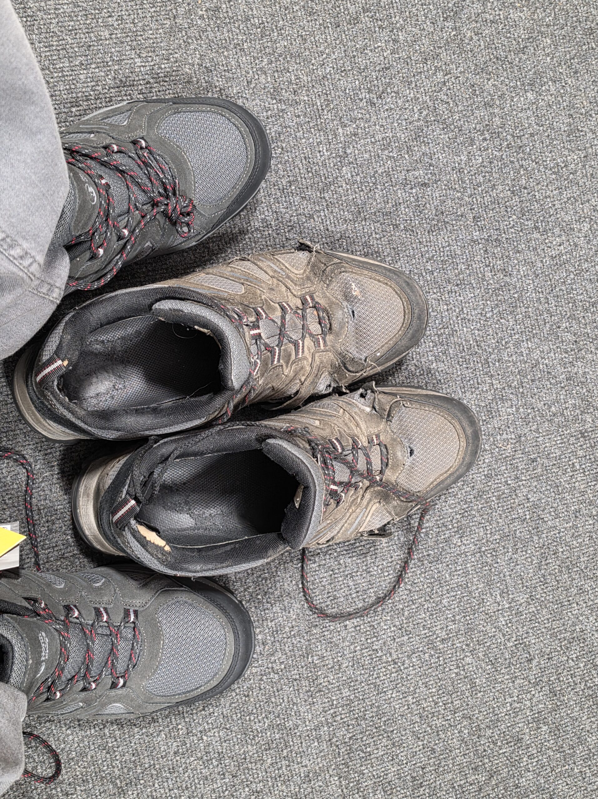
    It has been mentioned that my walking shoes are slightly worn out, although I’m unclear why anyone would think that as they seem entirely fine to me. These are two pairs of the same model, with one pair new and the other used for what Samsung Health tells me amounts to around 2,900 miles of walking. Incidentally, the old shoes are the two that my feet aren’t in, as that might not be immediately obvious. I accept that the soles have developed a rather theoretical relationship with grip and some edges of the shoe have fallen off, but otherwise they have plenty of life left in them.

    North Ridge is not necessarily regarded as a premium brand, as it is owned by JD Outdoors, which operates Go Outdoors, Blacks and Millets. However, this is the fourth pair of its shoes that I’ve bought because they have proved particularly durable. Walking footwear commonly lasts for around 500 to 1,000 miles, so I’m entirely content with a pair surviving for approximately 2,900 miles. Buying replacements therefore felt less like shopping and more like giving in to sustained external pressure. I’ll report back, hopefully in another two years, on how the new pair gets on.

    For anyone concerned, I will still be using the old pair as I think they have around 1,100 miles left of walking. But I do have four LDWA challenge events coming up over the next few months and I feel the need for a little decadence, namely shoes that don’t have several holes in them. I appreciate that this sort of reckless consumerism may alarm anyone familiar with my usual approach to replacing things, but I’m sure I can reassure people that it won’t become a habit.

  • Walk Around Bungay and South Elmham

    Walk Around Bungay and South Elmham

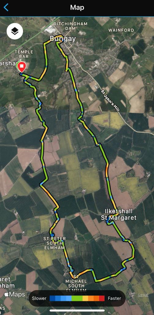
    This walk was from a couple of days ago with my friend Rob, starting in Earsham and then going to see the new bridge that has been installed, before walking around The Saints and then returning to the bridge. It wasn’t the dryest of days, but Bungay is in the national press today due to flooding, so it could have perhaps been worse.

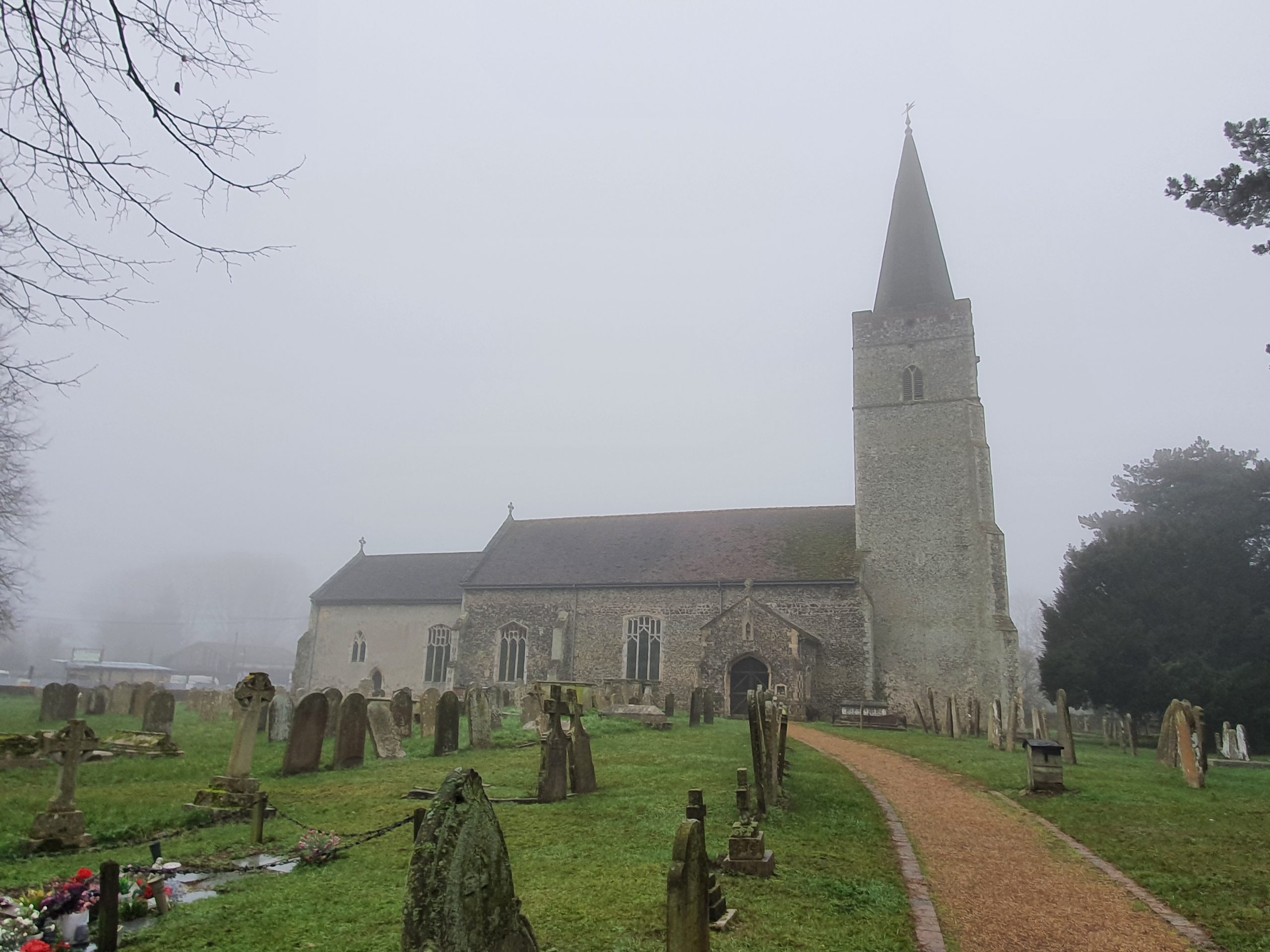
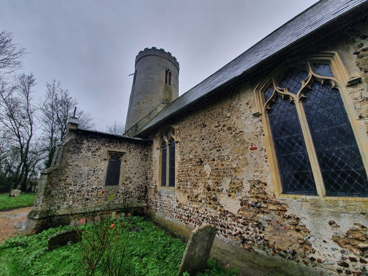
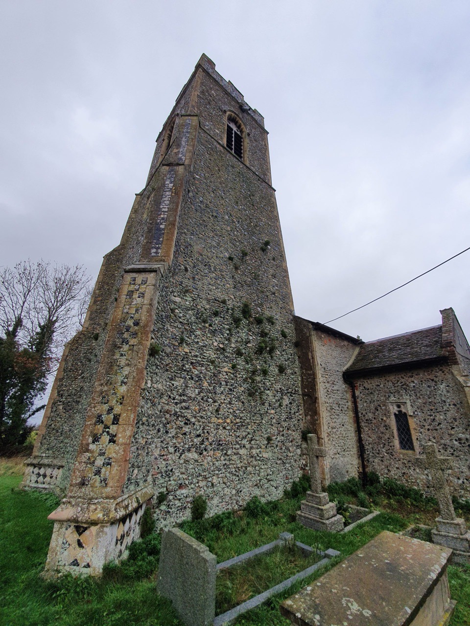
    Earsham was the start and end point of the walk, wet at the beginning and the rain started to pour down just as we arrived back. There’s been a church here since the Saxon period, although the current structure is from the twelfth century with bits added on and restored since.

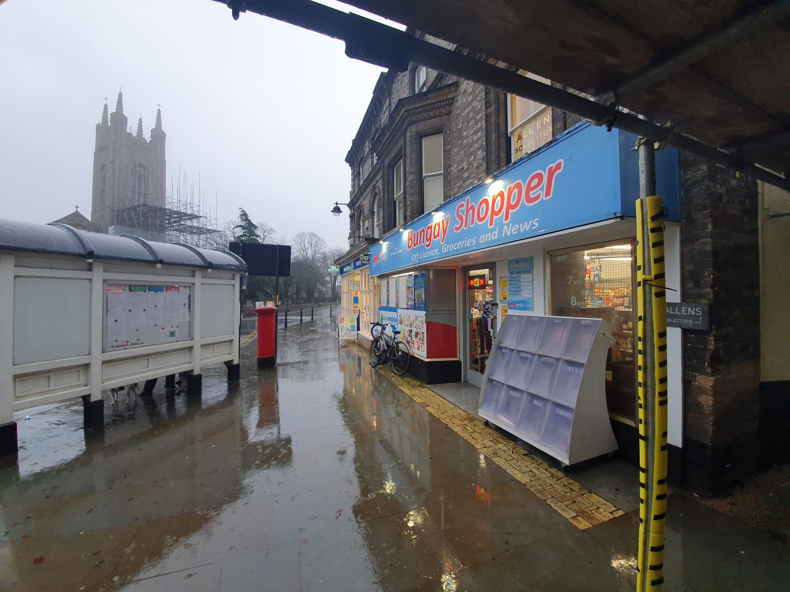
    My trip to get the day’s lunch was delayed slightly as they couldn’t get the till to turn on. I don’t think the Bungay Shopper themselves would claim that they have a range of high quality artisan food and drink, but it was convenient and cheap.

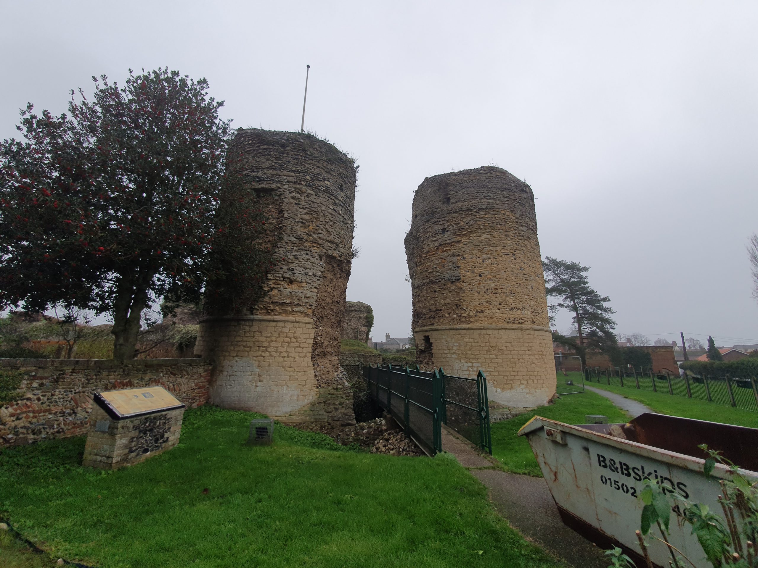
    I’ve never seen Bungay Castle, I hadn’t realised it was visible from the footpath. It was financed by Roger Bigod of Norfolk and was constructed just after the Norman Conquest. It fell out of use many centuries ago, being owned by the Dukes of Norfolk from 1483, but the family gave it to the town in 1987.

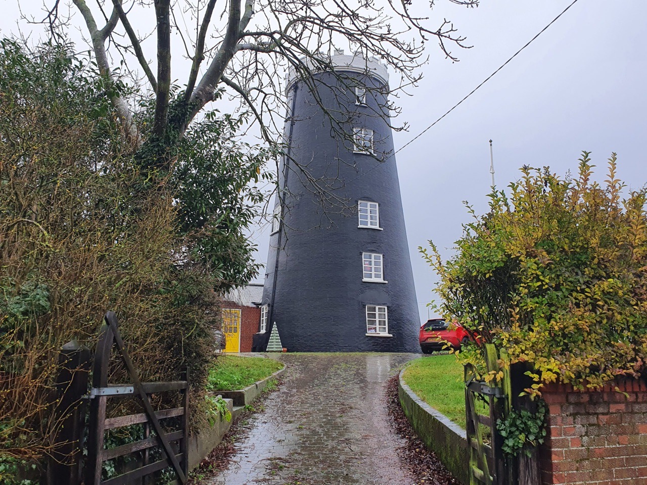
    Flixton Road Mill, built in 1830 and now converted into residential accommodation.

    The temperature was quite warm, although there were occasional showers.

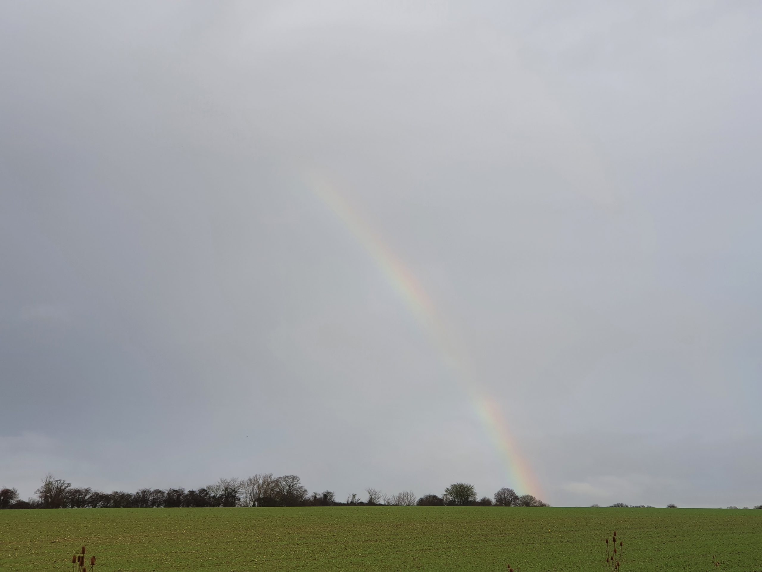
    A rainbow appeared between the rain showers.

    We visited three churches on the walk, all of which were open to go inside. This is St Margaret’s Church in Ilketshall St Margaret and more of this in another post. But, the highlights here are what I think is a Saxon window in the tower and the completely ridiculous decision made by English Heritage to render the tower. They accepted this was in error and it is neither historically accurate nor particularly beautiful. But, it’s there now, part of the church’s story.

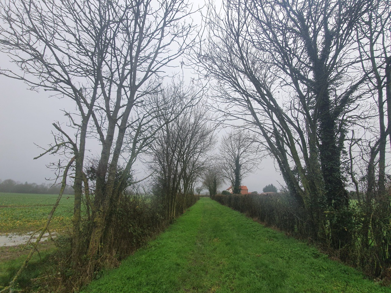
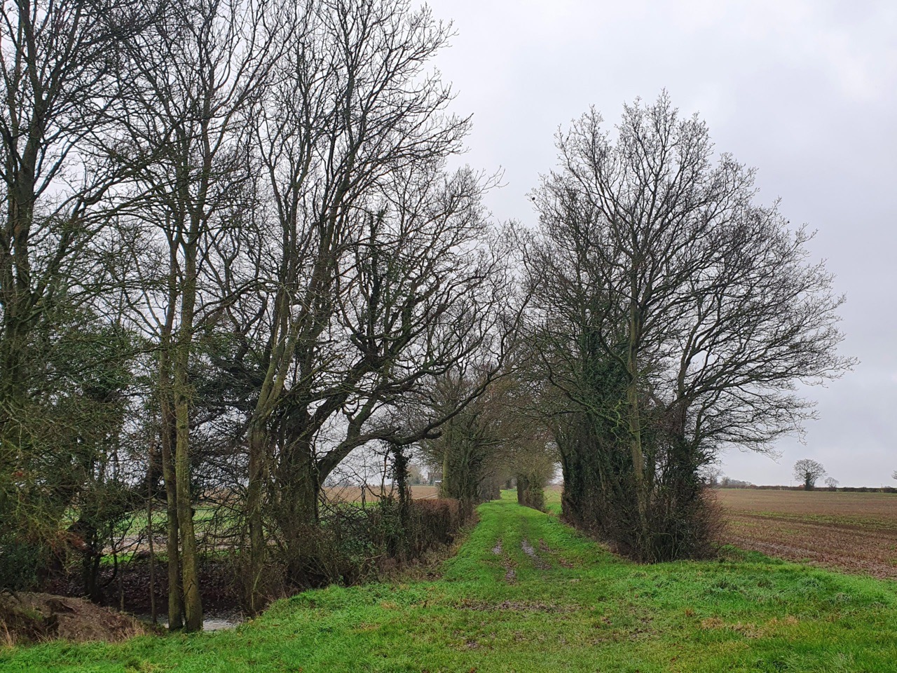
    I rather liked the path in the above photos, I think from the width it’s a former drovers’ road. One of those routes which could have easily have become a road.

    Fortunately, the mud in Suffolk isn’t generally too clay-like (unless certain parts of Essex…..), otherwise this could have been an annoying walk across a field with mud welding to my boots.

    Part of my lunch from the Bungay Shopper….. Very decadent.

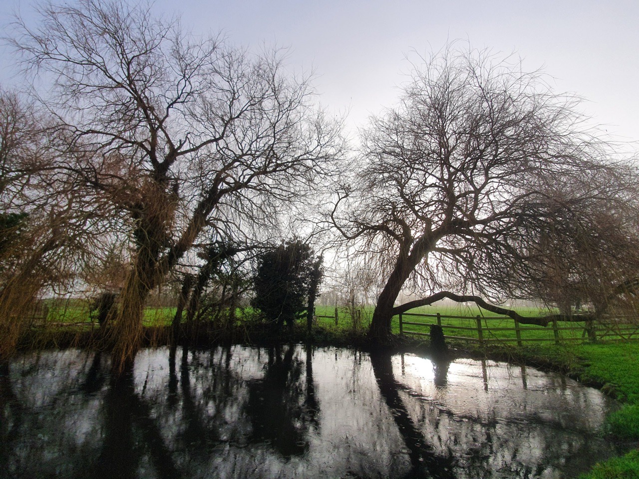
    Streams and ponds that are often low in water certainly aren’t at the moment.

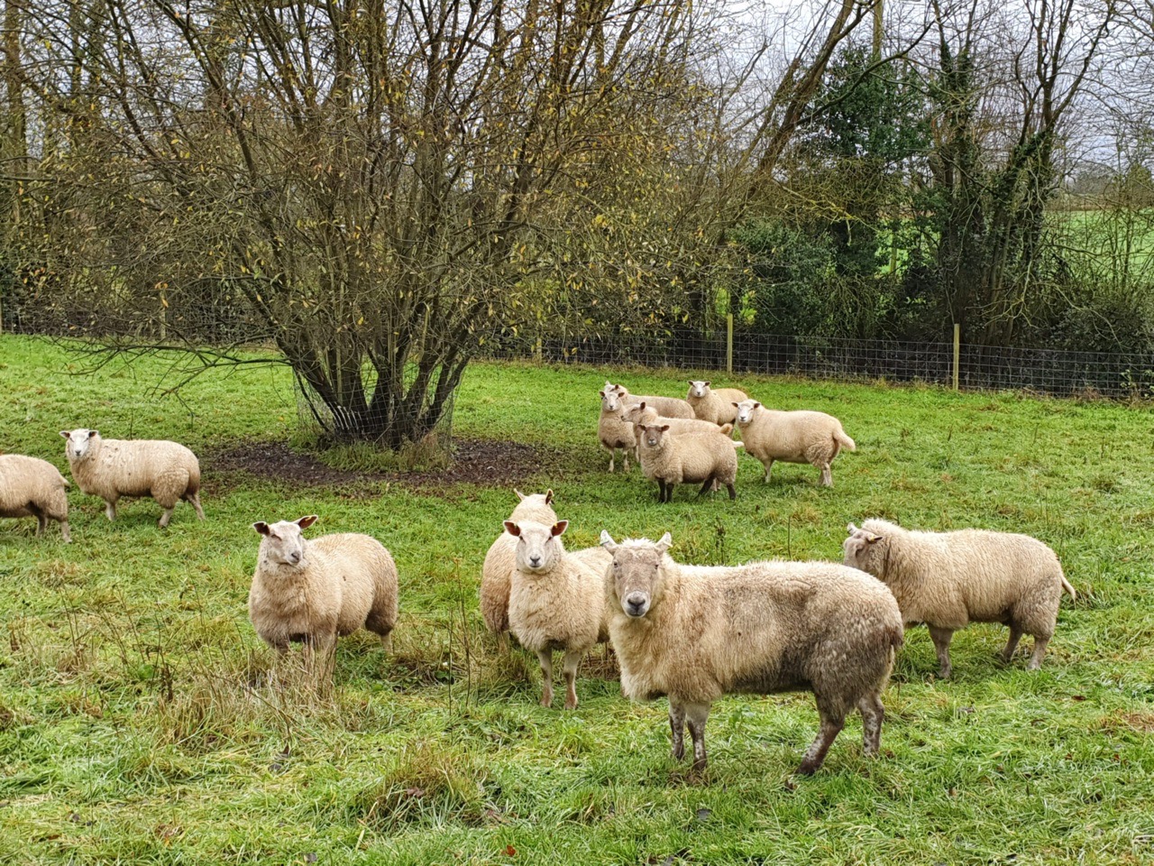
    Some aggressive looking sheep.

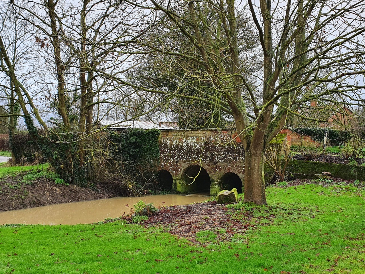
    I’m not sure of the age, but this road bridge looks to have some history to it. A nice feature to have in the garden as well.

    St. Peter’s Church in South Elmham.

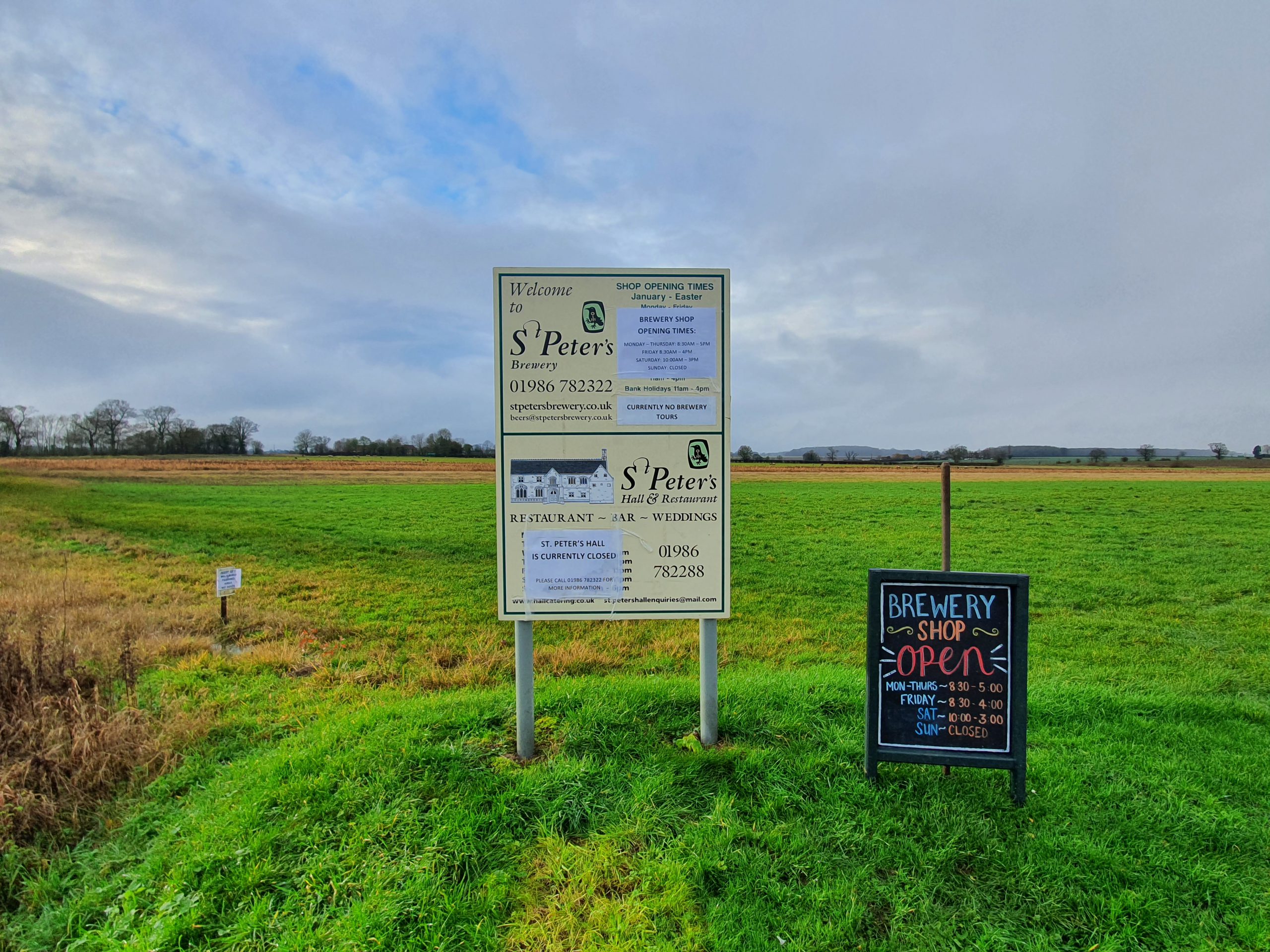
    St. Peter’s Brewery, which was founded in 1996, and occupies a site which includes an ancient thatched barn and St. Peter’s Hall. The brewery own one just pub in the country, which I have meant to go to, it’s located in Farringdon in London.

    Norfolk and Suffolk can be hilly. Well, relatively hilly.


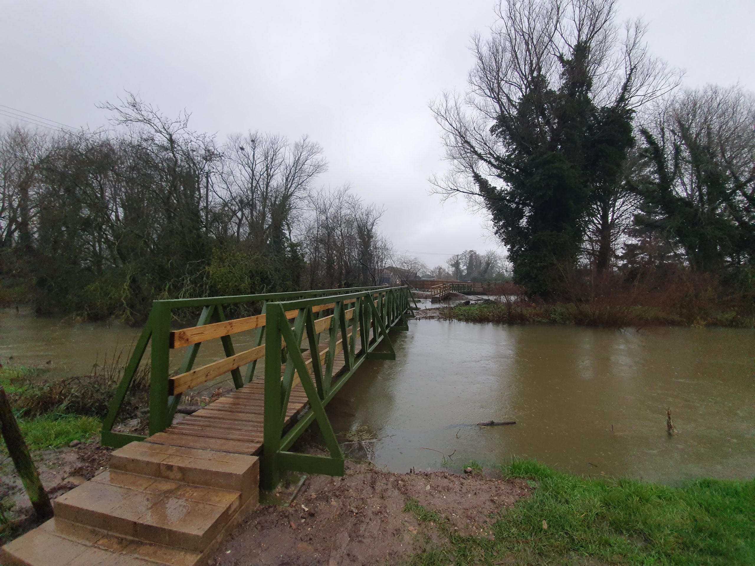
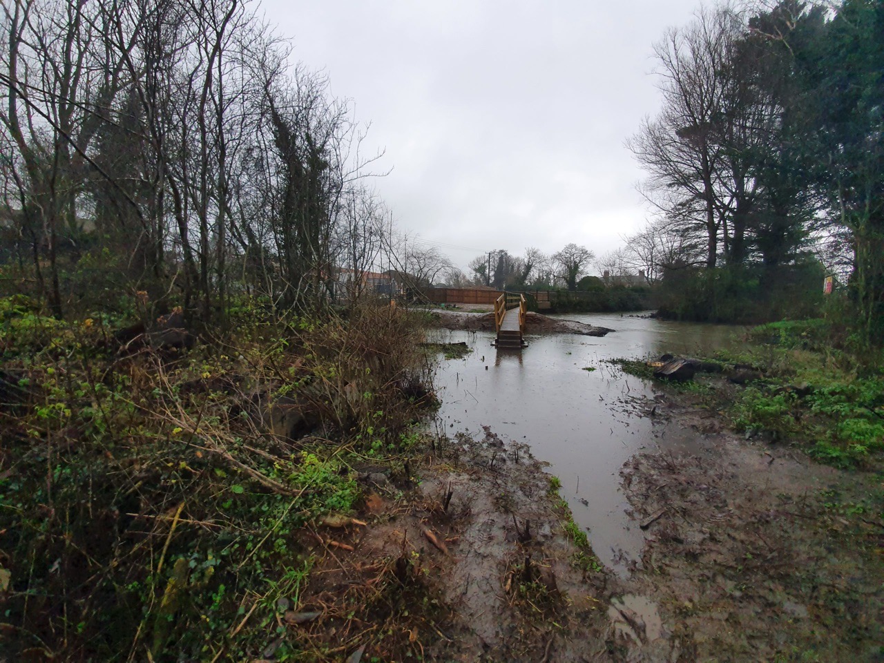
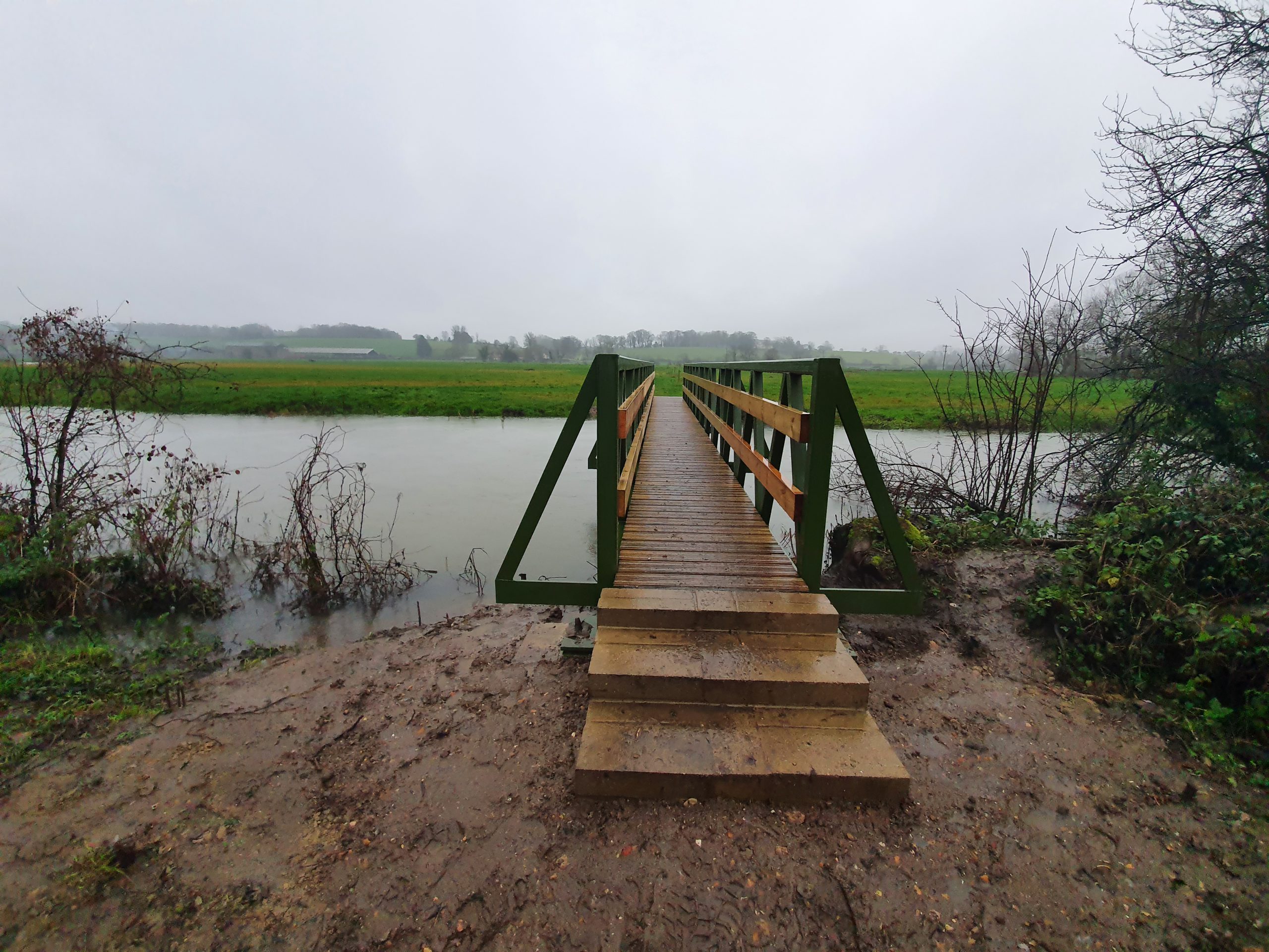
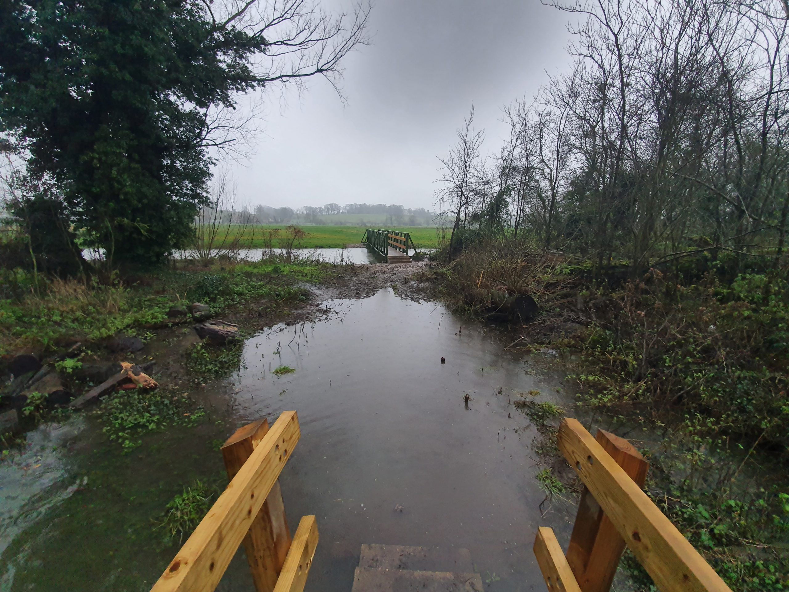
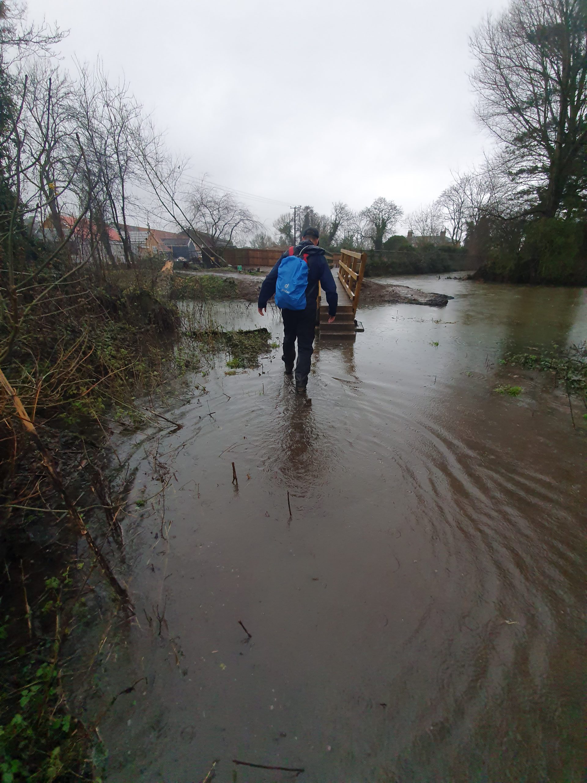
    One of the reasons we went on this walk was to see the new bridge which has been installed here on the Angles Way. This map (in .pdf format) shows the temporary route which the broken bridge caused. It took six years for this bridge to be replaced and numerous local politicians were involved, and the Ramblers really engaged with the process.

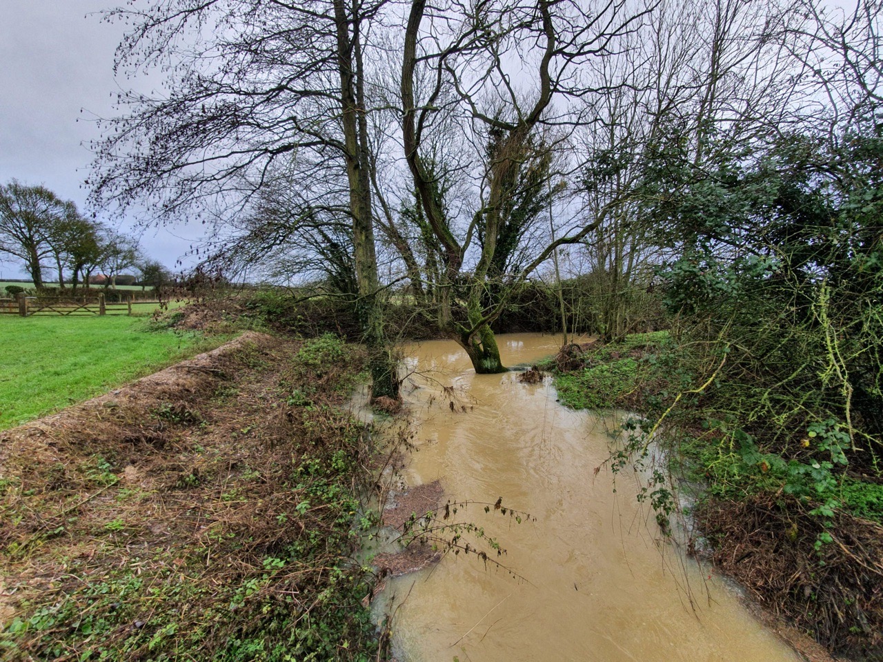
    The area was a little more moist than was ideal, perhaps the bridge set-up wasn’t ideal, but the main thing is that the Angles Way route has now been restored. Fortunately, that water wasn’t too deep.

    This is Rob’s route of the walk, I like the colours showing when we were walked a little quicker.

  • Ramblers – September 2020 Legstretchers Walk

    It was a delight that Maria led the first Legstretchers walk as we returned to walking longer distances. And not only did she lead the September walk, but she’s leading the one in October as well.

    Just photos here….

  • The Ideal Walking and Running Ratio

    The Ideal Walking and Running Ratio

    As far as I’m concerned, this is the perfect ratio of walking to running. Running is just too tiring….

  • South Walsham and Burlingham Green Walk Photos

    South Walsham and Burlingham Green Walk Photos

    No photo description available.

    Rob and me decided to go for a short meander this afternoon to an area where I’ve walked near to, but I haven’t been to South Walsham and Burlingham Green for some years. It started off hot in the Norfolk sun, before fortunately cooling down a little. Four churches visited today, or at least the exterior of them, photos of those in separate posts.


  • Wherryman’s Way Near Claxton

    Wherryman’s Way Near Claxton

    Just photos from the Wherryman’s Way, or routes just off it, from last week. This is the area near to Claxton and the other side of the river bank from Cantley. I’ll be doing the entirety of the Wherryman’s Way in a couple of weeks, so there might be quite a few posts about that coming up…..

  • Walking – Treasures on the Boudicca Way

    Walking – Treasures on the Boudicca Way

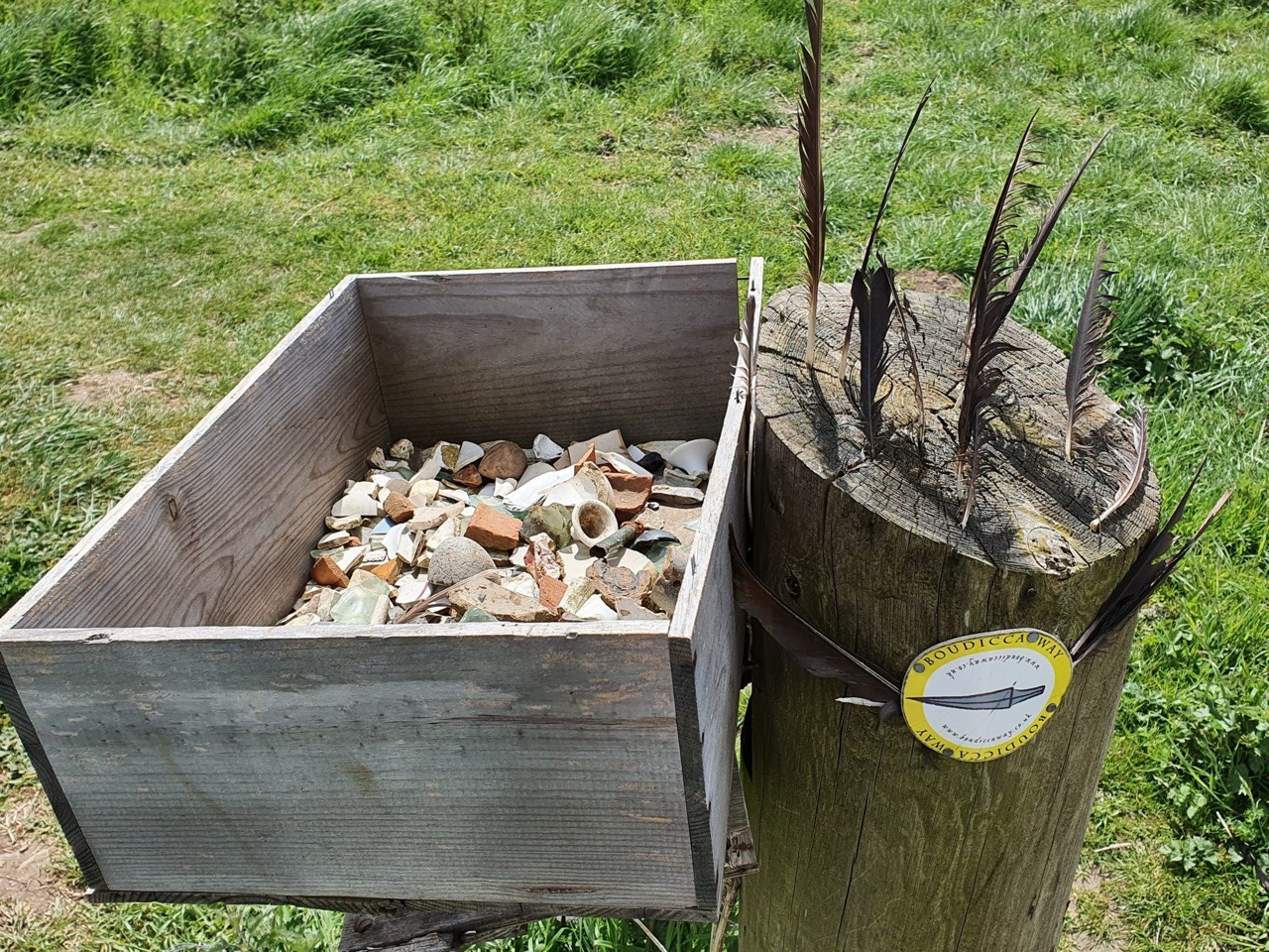
    Located towards the latter part of the Boudicca Way, if walking towards Norwich, is this little finds box that has been placed on the edge of a farmer’s field. It always seems to contain new items of interest every time I go by it, it’s an interesting concept that perhaps could be done elsewhere.

    OK, so it’s unlikely to interest the British Museum, but it shows how much stuff can be found in fields. And, for reasons unknown, it now appears to have attracted some feathers.

  • Walking – Norwich to Caistor St Edmund

    Walking – Norwich to Caistor St Edmund

    Nothing particularly exciting here (so no photos of Greggs, aggressive sheep or landslides), just photos from my first walk in the last couple of months which has been over 10 miles. One of many over the coming months due to the preparing for the LDWA 100 next year…..

    This was from central Norwich, along the river-bank in Trowse, through Arminghall Henge, to Caistor St Edmund and Venta Icenorum, before coming back along the Boudicca Way. But, more about Caistor St Edmund and Venta Icenorum in other posts.