
A couple of years ago I was able to get some free food at Spice Valley in Norwich as part of their opening weekend, so I felt it was only fair to come back and try their food. It’s taken me two years to do so, but we meandered along to see how they were getting on. Firstly, it wasn’t particularly busy, they had one large Christmas party, and just Liam and me. The environment is clean, bright and really quite comfortable, they’ve done a decent job there. As I mentioned on my post about the Dog House, I’ve got a little out of touch with the restaurants in Norwich and since Indian cuisine is my favourite, I need to get back up to date.

The soft drinks are over-priced and nearly the same cost as alcohol. Not ideal and I was disappointed at the lack of lassi and this is the first Indian I can recall in some time that doesn’t have it.

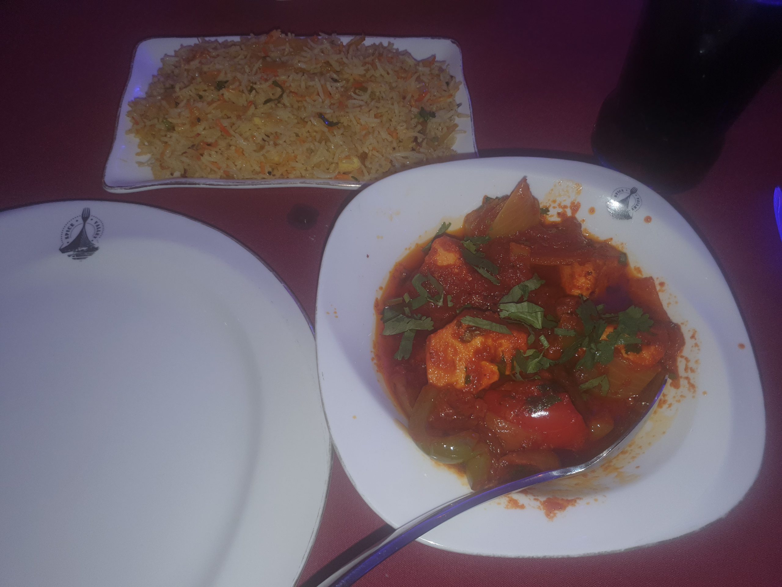
The poppadoms and dips. These were inadequate and generic, with one of them having so much garlic taste as to be inedible. As Will said in the Inbetweeners, “I’m not expecting sparkling”, but I want something slightly interesting…..

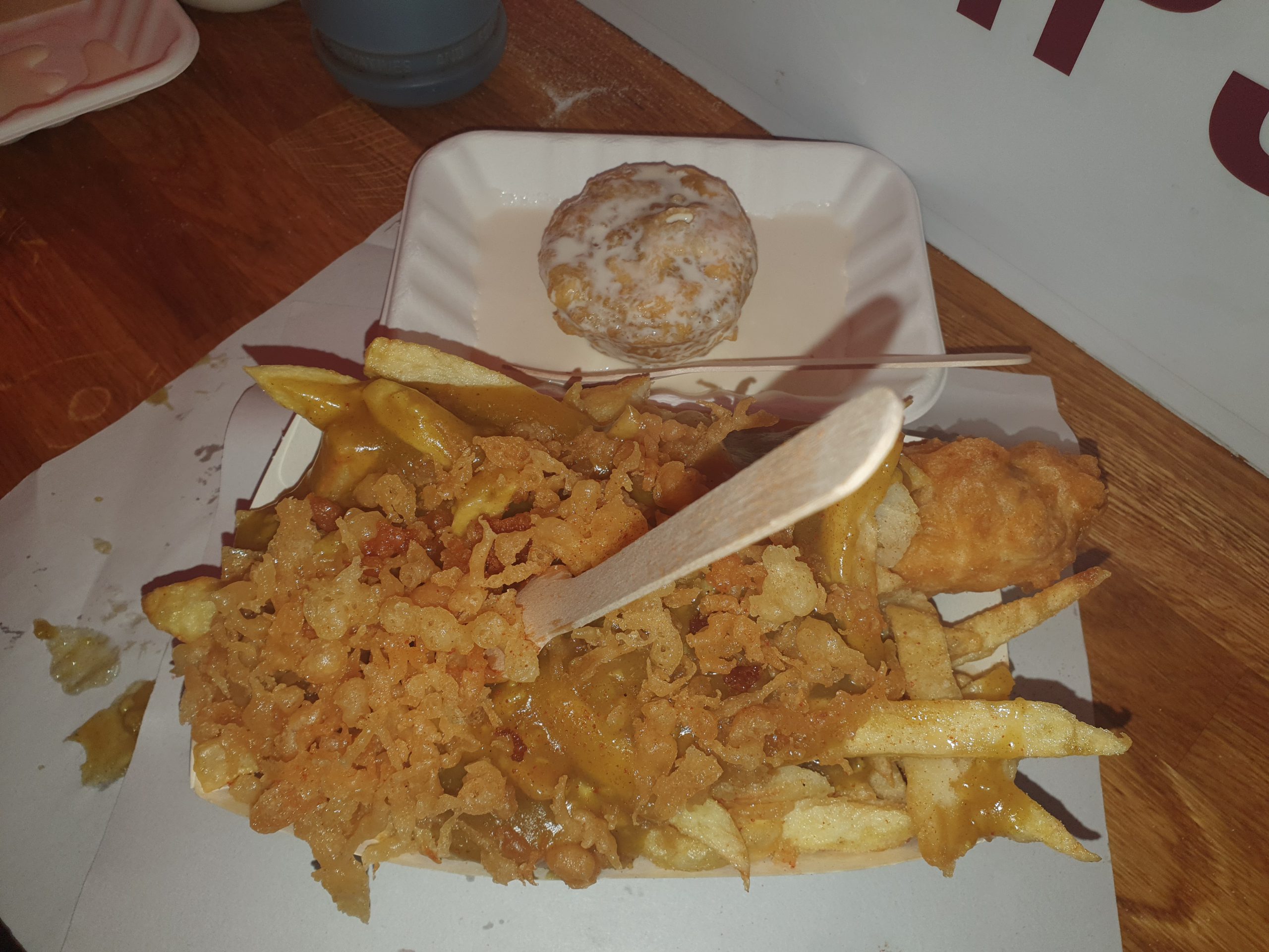
The lemon rice was excellent, actually one of the best of its kind that I’ve had. I went for the Chicken Dopiaza and the sauce was pretty decent, although a little too oily. The chicken was tender, but tasteless, I’m not convinced by the quality of the meat they’re using here. It was all at the appropriate temperature and was pleasant tasting overall though, so I don’t want it to sound like I didn’t enjoy the food. The service was attentive throughout and always professional, with everything being well managed and we weren’t left waiting at any stage.
Another annoyance was that the restaurant was listed on Amex’s Shop Small which should have got me £5 off, and despite their card machine branding noting the American Express logo, they said they didn’t accept it. I was also annoyed that I wasn’t allowed to keep the receipt and nor were they able to produce a copy other than just a total of the bill which wasn’t itemised. I had already taken a photo of the bill and it was entirely accurate, but it’s shoddy to refuse a customer a copy of the receipt and actually quite brave in case there’s a query over the total.
Overall, attentive service and a clean environment, but nothing of real note beyond that. I feel though that I’ve returned the favour of the free food of a couple of years ago now, but the quality they had at opening seems to have dipped. It’s fair to say that I won’t be back though and I will continue my little quest to find my favourite Indian restaurant…..