
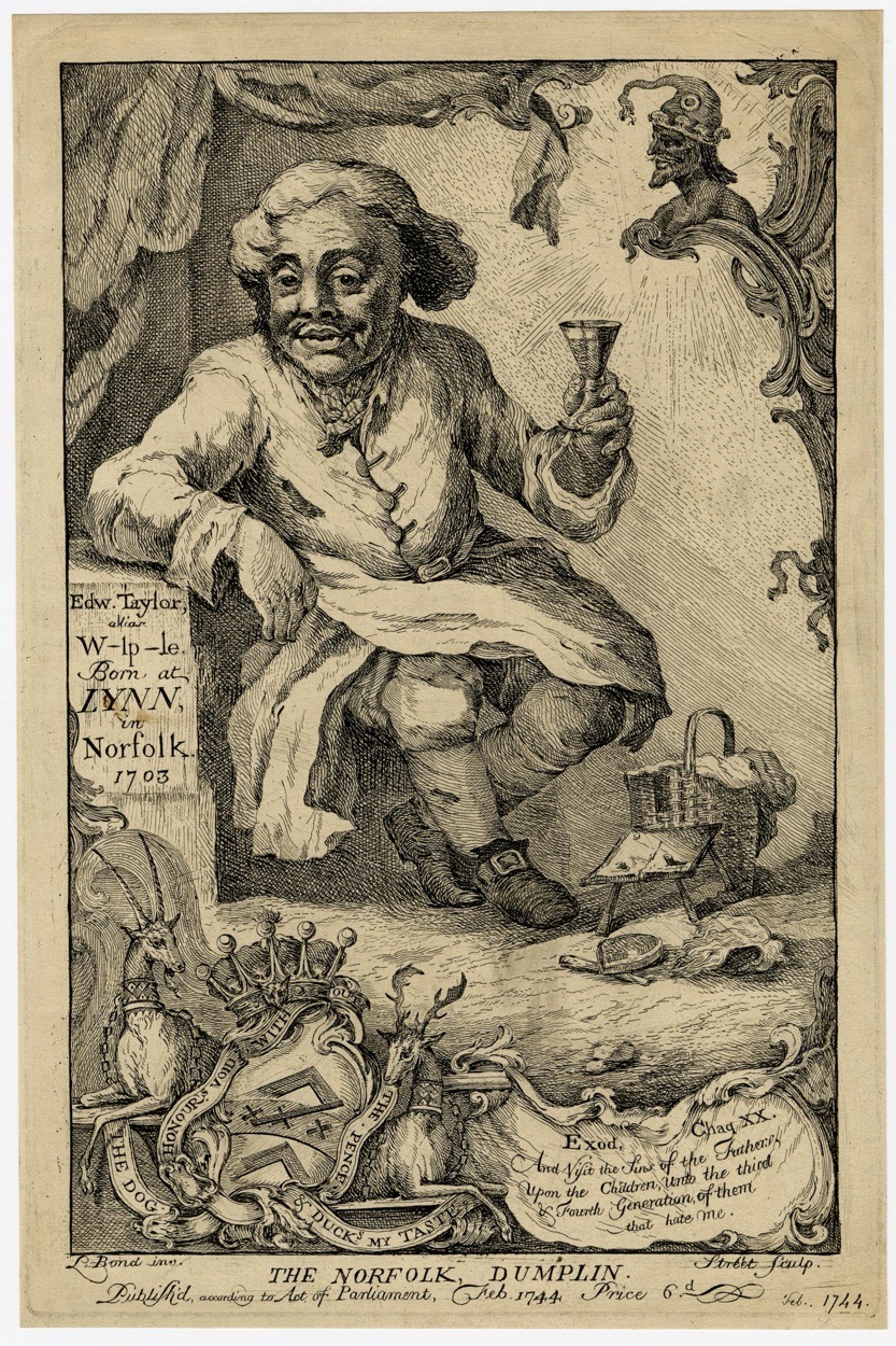
Whilst looking at something else about King’s Lynn, I noticed this print (© The Trustees of the British Museum) in the collections of the British Museum.

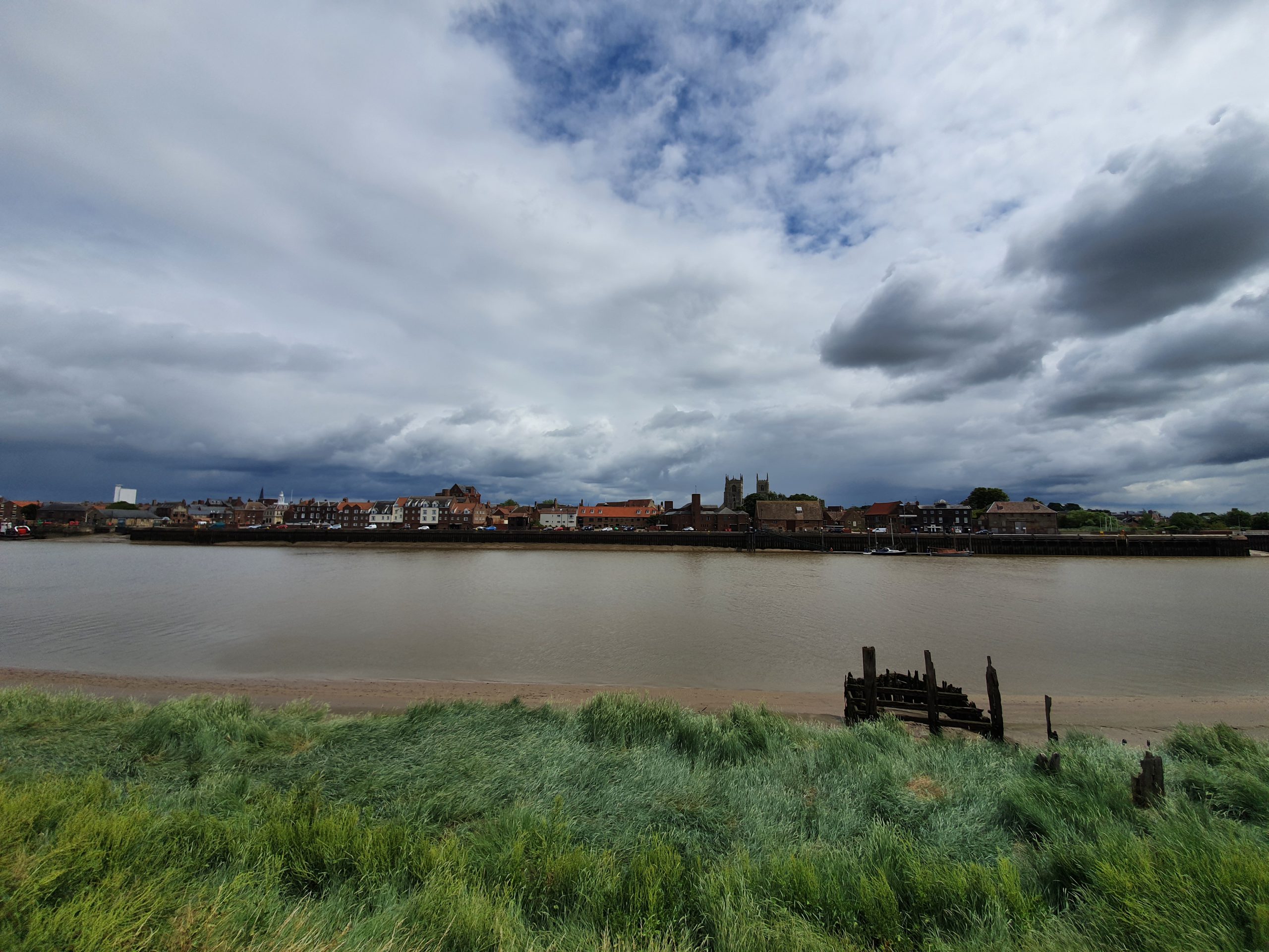
This moderately bizarre image (click on the image to make it bigger) is an attack on Robert Walpole (1676-1745), and suggests that Edward Taylor was an illegitimate child of Walpole. I’m still slightly surprised, as this trick was commonly used in electioneering at the time, that the law allowed “W-lp-le” to hide the fact that the creator of the image wanted to highlight that he was referring to “Walpole”. Walpole, effectively the country’s first Prime Minister, was known to have had other mistresses, so the allegations aren’t necessarily false. The connection to King’s Lynn is that Edward Taylor was born in the town in 1703.
It’s not known who created the illustration, but it is dated to 1744 and the British Museum acquired it in 1868 from the estate of Edward Hawkins, a long-time curator of the museum. The term ‘Norfolk dumpling’ usually refers to someone who is a bit dense, although it’s also a culinary treat….


