
This pub in Britton Street in Clerkenwell was suggested by Des and it was another one of his very good choices. I knew that St. Peter’s Brewery in Bungay had their own pub in London, although I’ve never understood quite why they choose there particularly, and I had meant to visit it at some stage. But I have a long list of places that I want to visit and I’d forgotten where in London it was, so this all worked out rather well. It’s also in the Good Beer Guide as well, so that’s another box ticked (not that I necessarily want my life to be a series of ticks, but there we go).
As an aside, Rob and I walked by the Brewery last year on one of our little meanders near Bungay. Rereading that post back, where there’s a photo of the brewery, I even noted that I wanted to go to this pub in Farringdon (even though I had forgotten where it was in the intervening few months).

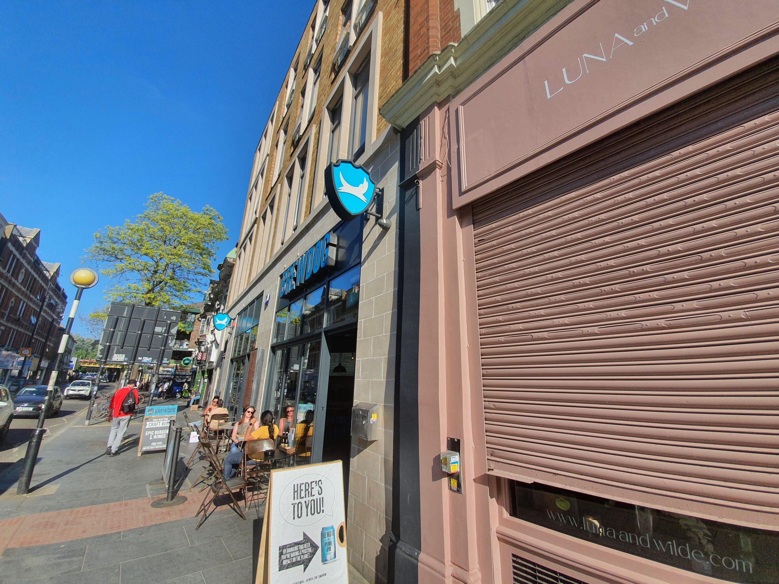
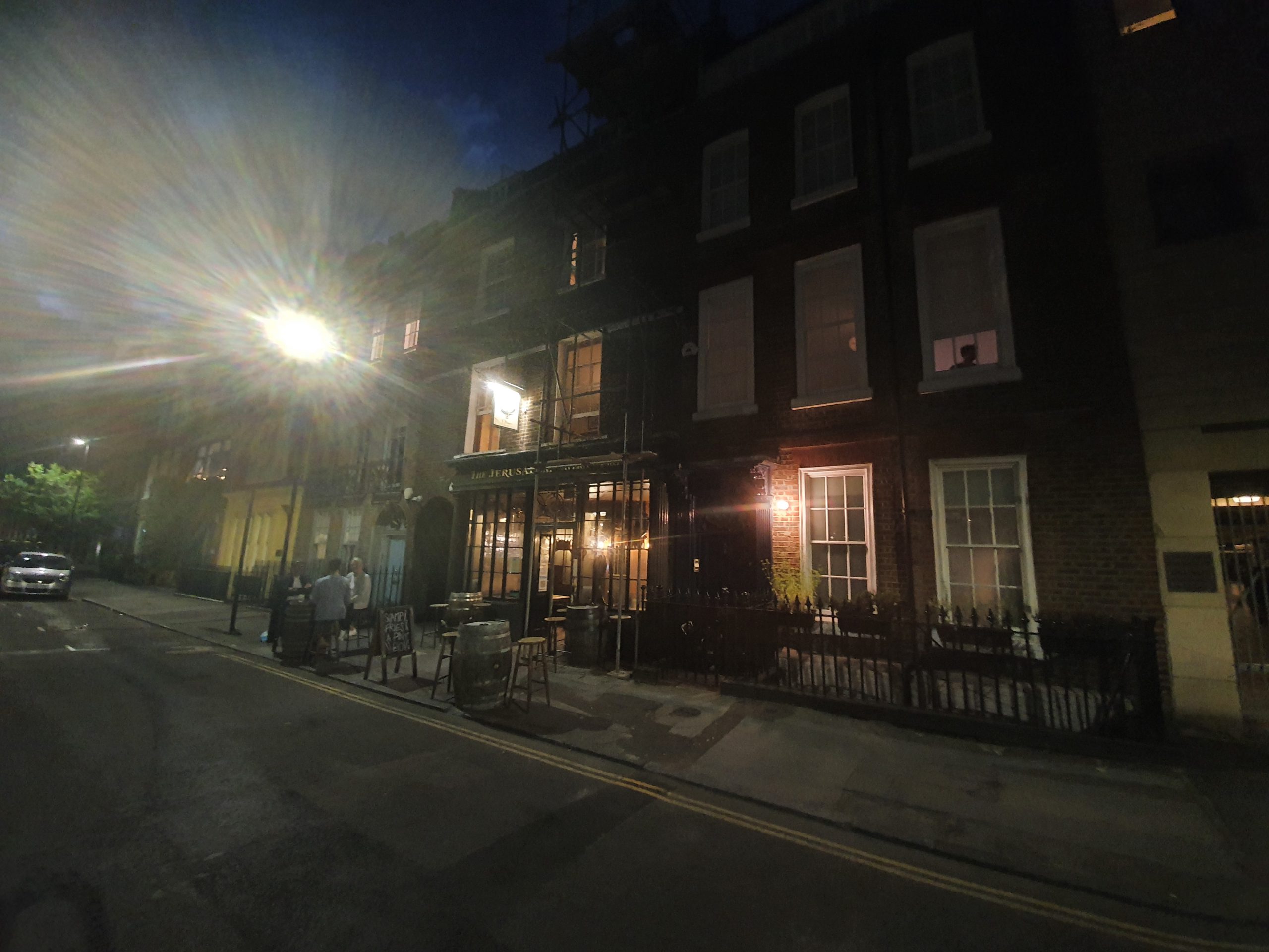
The pub was busy outside and it wasn’t clear that we’d be able to get a seat inside as it’s not that spacious. Fortunately (well, fortunately for us, perhaps considerably less so for the pub), they were quiet inside and so there was a choice of tables available. They’re running with three different beers on draft from St. Peter’s, although unfortunately nothing dark at the moment, along with numerous other options. They were also doing a pint, scampi and chips for £10 which seemed like quite a decent meal deal arrangement.

CAMRA’s Whatpub gives some background to the slightly confusing (to me) history of the pub, which they note was opened by St. Peter’s Brewery in 1996. The building was constructed as a shop with a residence above in the early eighteenth century (the pub itself has a date of “anno 1720” on the front) and it has today a Victorian wooden shop-front (visible in the photo above) from the same period, although I’m unsure where that was recovered from.
Here’s a photo of the shop from 1961, after a long period of it being used as offices and as a shop. I like its current usage the best….

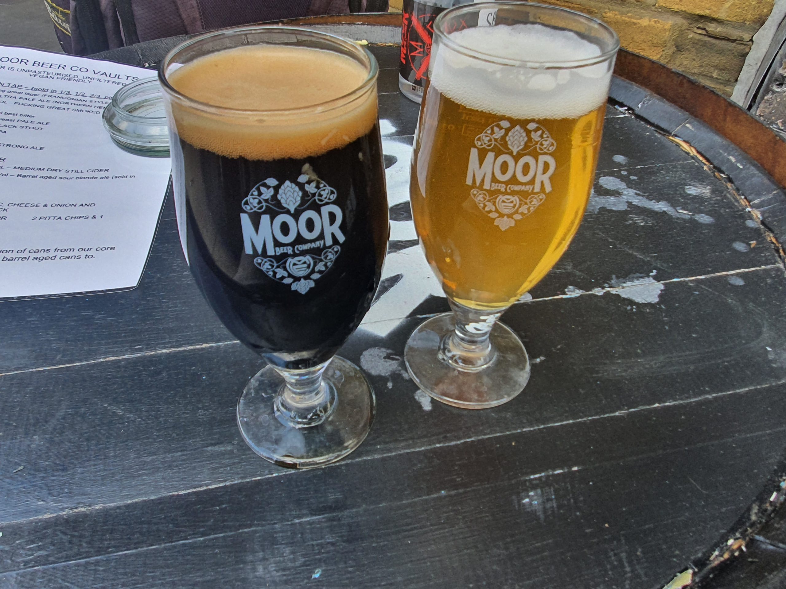
A not very clear photo of the front part of the pub, which is quirky and different in its design, all adding to the atmosphere. The stand-out drink for me, despite some relatively low reviews on Untappd, was the citrus beer from St. Peter’s, a nice fruit flavour which was simple and as far as I’m concerned is a perfect way of getting five a day. This was previously known as Grapefruit Beer, but that perhaps put people off, hence the name change. I thought the citrus was more refreshing than sharp, so an admirable beer.
The pub is well reviewed on-line and I like the current table service set-up, although that’s been rather forced out of necessity, with the staff member being able to helpfully remind me what beers they had after I managed to forget by the time it came to order a second drink….. They have had a little difficulty with some of their residential neighbours, which might be why they call last orders at near to 22:00. But, anyway, I liked this pub, relaxed, uncrowded, comfortable and a reminder of the joys of Suffolk where St. Peter’s Brewery is located.