Unfortunately, rather than this being about the pub’s opening after the lockdown, this post relates to the re-opening of the Bell pub in 2017, when they had just completed a major refurbishment. This saw one of the downstairs seating areas removed and turned into toilets, some of the former hotel rooms (long before Wetherspoon operated the location) being turned in seating space and the closure of the second floor toilets.

The pub was open only for training purposes, with every visitor allowed a free meal and two drinks.

The training menu.

The information sheet given to customers.

The food I ordered, the half chicken and chips, with coleslaw and peri peri sauce. Unfortunately, Wetherspoons don’t sell this any more. Or indeed the pastrami bagel, but I won’t start about that again.

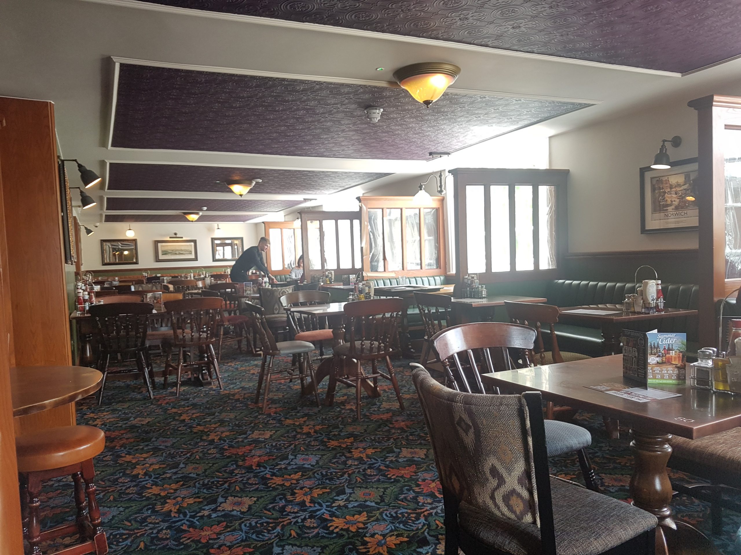
The new part of the pub, which I think is in the former hotel bedrooms as the windows suggest a series of smaller rooms. More recently, this area was used by the bank below for offices.

The same room as above, but looking the other way.

A long seating area and looking back into the same room as in the above two photos.

I liked this area, as there are power points along here, but last year they removed the seats, I assume to give staff better access. Shame though, it was a quiet area to sit.

One of the booths, complete with power points, USB chargers and a dimmer for the light.

Another view of the new area of the pub.

And the outdoors seating area.
The trial opening was all very smooth, the food and drink was served as expected and I was particularly delighted at the very cheap price of free….. Although it gave the pub more seats, it still isn’t enough as it’s hard to get a seat at lunch-time such is its popularity. I have no idea when it’ll re-open after the virus, but I imagine it’ll be popular again soon enough.