My time in Hull had come to an end, so it was time to get the train back from to Norwich. In theory, this would have involved a Northern train from Hull to Doncaster, an LNER train from Doncaster to Peterborough and a EMR train from Peterborough to Norwich.

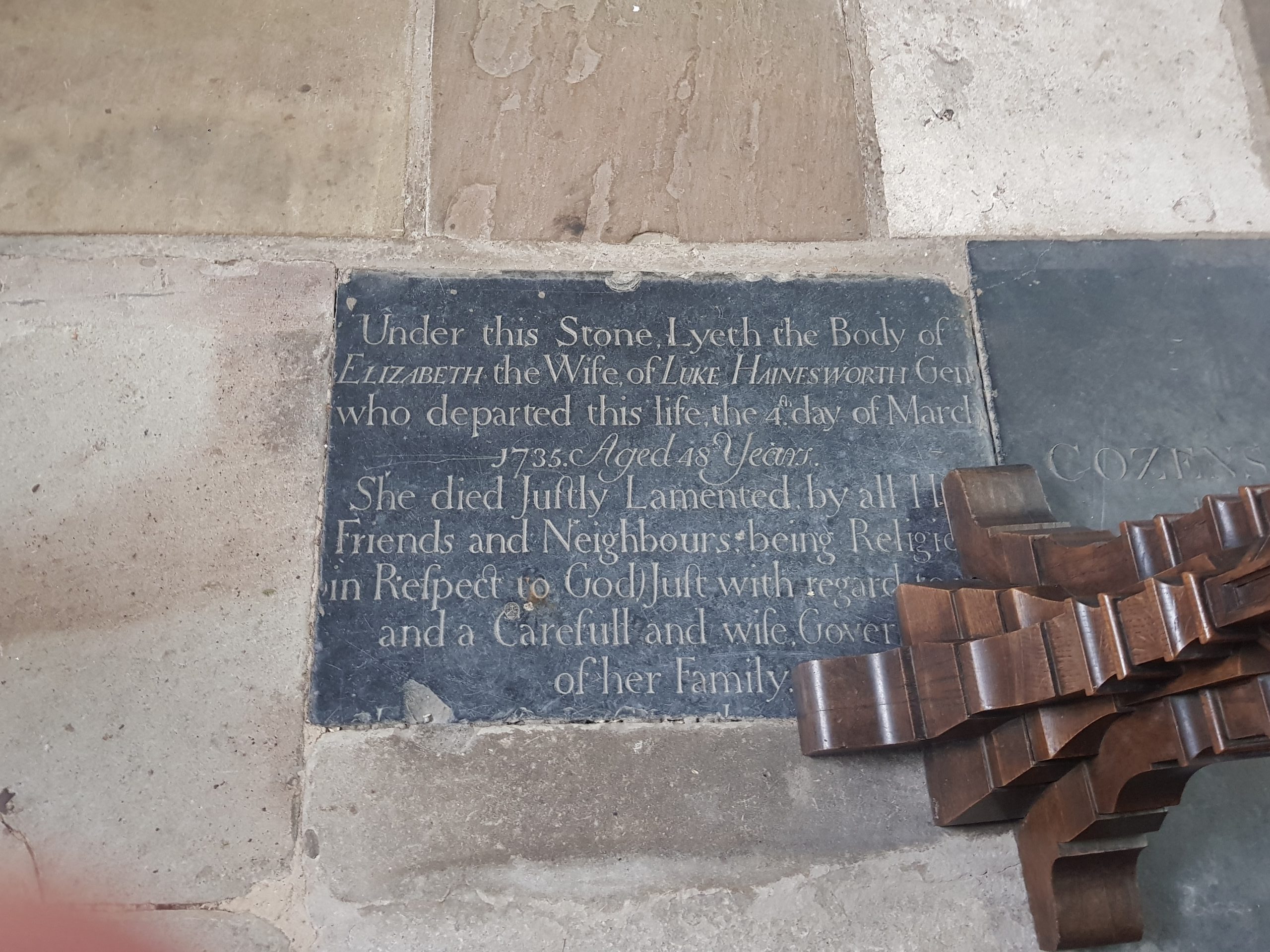
Here it is, the pride of the north, a Northern Rail Pacer train (144019) which they were phasing out by July 2019. As can be seen here, since it’s October 2019, that timetable hasn’t been met and there’s another year of them.

These really aren’t the best of trains, they probably do need to be sent to the dustbin of railway history.
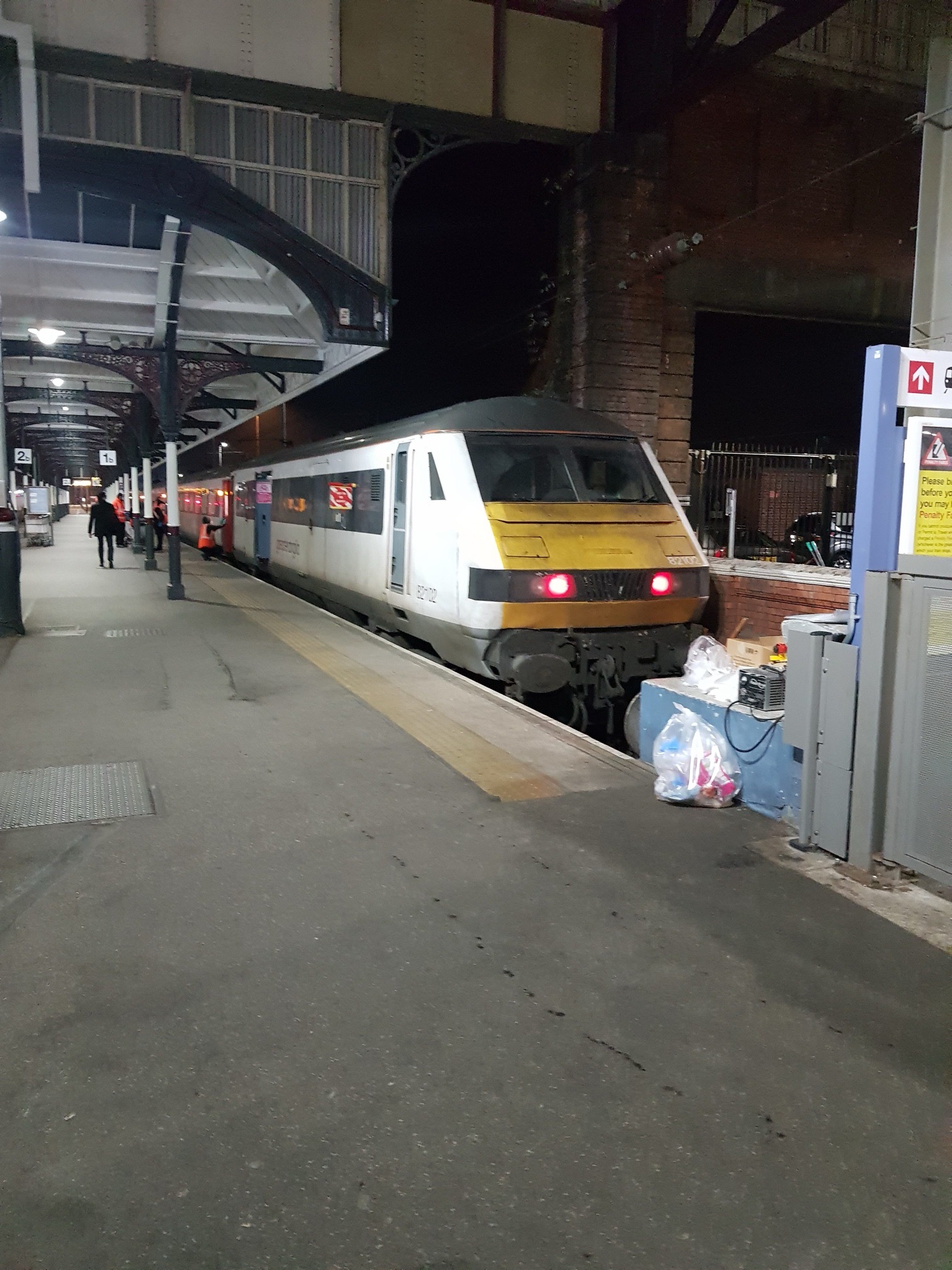
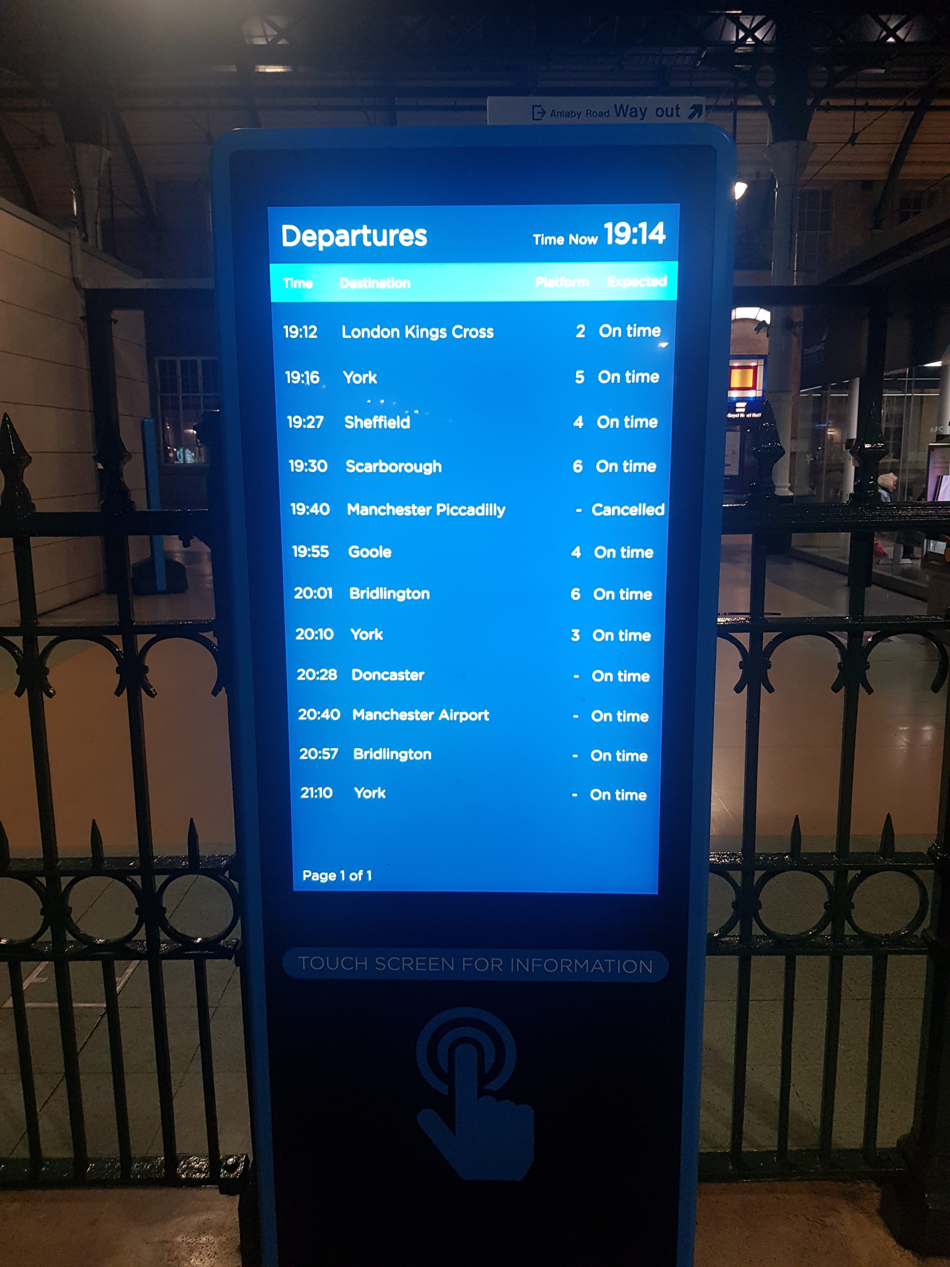
Anyway, I was meant to get the 19:27 train from Hull on the Northern service. There was flooding along the line, outside of where I was going, but it was impacting on the Northern train service. Being a responsible passenger, I approached the TransPennine ticket desk as this was the only one I could readily find and they’re the company who operate Hull Paragon Interchange railway station. On this, I wish they’d just call it Hull, as it’s a bizarre name for the city’s main railway station. The staff member there was helpful, but he reassured me that the 19:27 was running, but that there was a service at 19:12 if there was a cancellation of my service. But, if at 19:12 the 19:27 service was showing, I had to wait for that, which is what I did.
There was a member of First staff at the railway station, which is logical because they operate the very interesting Hull Trains open access service to London from Hull. He was offering customer service advice as the 19:27 service was changed to start from Sheffield, not from further down the line. And, by the time I spoke to him, the 19:27 service wasn’t operating on time. This is relevant, in what is otherwise a winding and endless story, of mine because I could technically now no longer get home. He said that the rail policy was to get as far along my journey as possible, which made sense to me. He also explained that there were some tests of the brakes going on as the train had gone through the flooding earlier on during the day.
So, on the 19:27 service I get. I say 19:27, but the doors didn’t open until 19:40 and it didn’t set off until nearly 19:50. It then made extra stops, so my train from Doncaster to Peterborough had long gone when I arrived into Doncaster.

I thought I’d go and ask LNER staff at Doncaster what the rail policy was, because I’m interesting in knowing what happens when the rail network goes a bit wrong and people need to get home. Some of what they told me I knew, other parts I didn’t. But, in short, I was told that the rail network preferred to get taxis home for anyone who missed their final connection, as this is the set-up that different rail operating companies have with each other.
I was also told that rail companies might pay for a hotel, but this would usually have to be at least semi-authorised by the rail company would end up paying for it. So, it would be hard for a member of LNER or Greater Anglia staff to authorise a hotel and then get Northern to pay for it, whereas taxis were always paid. LNER apparently frequently shuttle passengers by taxi from Doncaster to London and from Doncaster to Newcastle, but rarely pay for hotels. But, equally, I was told that rail staff have been told to be pragmatic, so if someone is stranded hours away from home, with no other passengers to share a taxi with, the rail company might just pay for a hotel and endorse the ticket for use on the next day.
I had also become aware by now that I had what they called “an illegal connection” which was possible. So, not a connection that wasn’t allowable, but just one that passengers couldn’t be expected to get as there wasn’t enough time to change trains. Which is like conformance times at airports, although they can enforce those cut-off points. In my case, I could connect from the Doncaster to Peterborough train onto the Peterborough to Ely train, but there was only four minutes to do so. The LNER staff told me that I was under no obligation to rush for this, nor was I expected to even know about it. Rail policy was I should present myself to rail staff at Peterborough and they’d advise me. It was clear here that if I wanted a free taxi from Peterborough to Norwich, I could probably get one by faffing about when disembarking. However, I prefer trains and don’t really like taxis, and it would have also been a waste of the rail company’s money, in this case, Northern Rail.
At this point, I boarded the LNER Azuma train at Doncaster, which is in the above photo when it pulled into the railway station.

I commented on these before when I got the train up, but these are really clear to understand. There was also plenty of seating on the train.

And I got my table seat, with wi-fi and power that all worked well. An LNER member of staff came by and I asked him about my connection at Peterborough. He said the same as the customer service staff had at the station, which was that I shouldn’t worry, I should just get off at Peterborough and ask a member of platform staff what to do.
I was slightly disappointed to get off, as a staff member had just come into the carriage to check tickets. The customer behind me only had a reference number for his ticket, not the actual ticket. I was humoured by the staff member when she said “what do you want me to do with a reference number?” and the customer replied “accept I’m telling the truth?”. Which is quaint and rather innocent. She replied “it doesn’t work like that, how it works is you give me £130 and then I give you a ticket and not just a reference number”. I’m not sure what journey he was making, as that seems a lot of money, but he wasn’t happy. They were just getting into quite an argument, albeit a polite one, and I was really disappointed that the train pulled up into Peterborough and I didn’t hear how that ended. I love a drama….

And the good news is that I got in Peterborough six minutes early, so an impressive performance from LNER on a really decent train. Above is the photo of the train as it departed from Peterborough towards London.

Which then meant that I’d get the Cross Country train to Ely, which turned up on time. I got another table seat and the train was comfortable, but not particularly clean.

Let’s just say, it was clear that there wouldn’t be a fight for space when boarding the train. This is Ely railway station and it’s a shame Dylan and Leon weren’t there, we could have gone under the tunnel at least 20 times in the time I had to wait. The Greater Anglia service was on time and the staff member was enthusiastic and helpful, something which is common with their staff, which is why I still like them a lot as an operating company.

And smoothly into Norwich railway station, on time and the Stadler train (the one on the left) journey was seamless and comfortable. The train fare cost £19.80 and I got in 57 minutes late, so I’ve put in a delay repay request to Northern Railways for £9.90. I’m not sure how this will work out as they don’t seem to think they operate a 19:27 service, as it didn’t come up on the on-line form. We shall see, but all told, the rail network did come together nicely and there was not one single moment where I was doubting whether I’d get home somehow, even if it was a taxi.