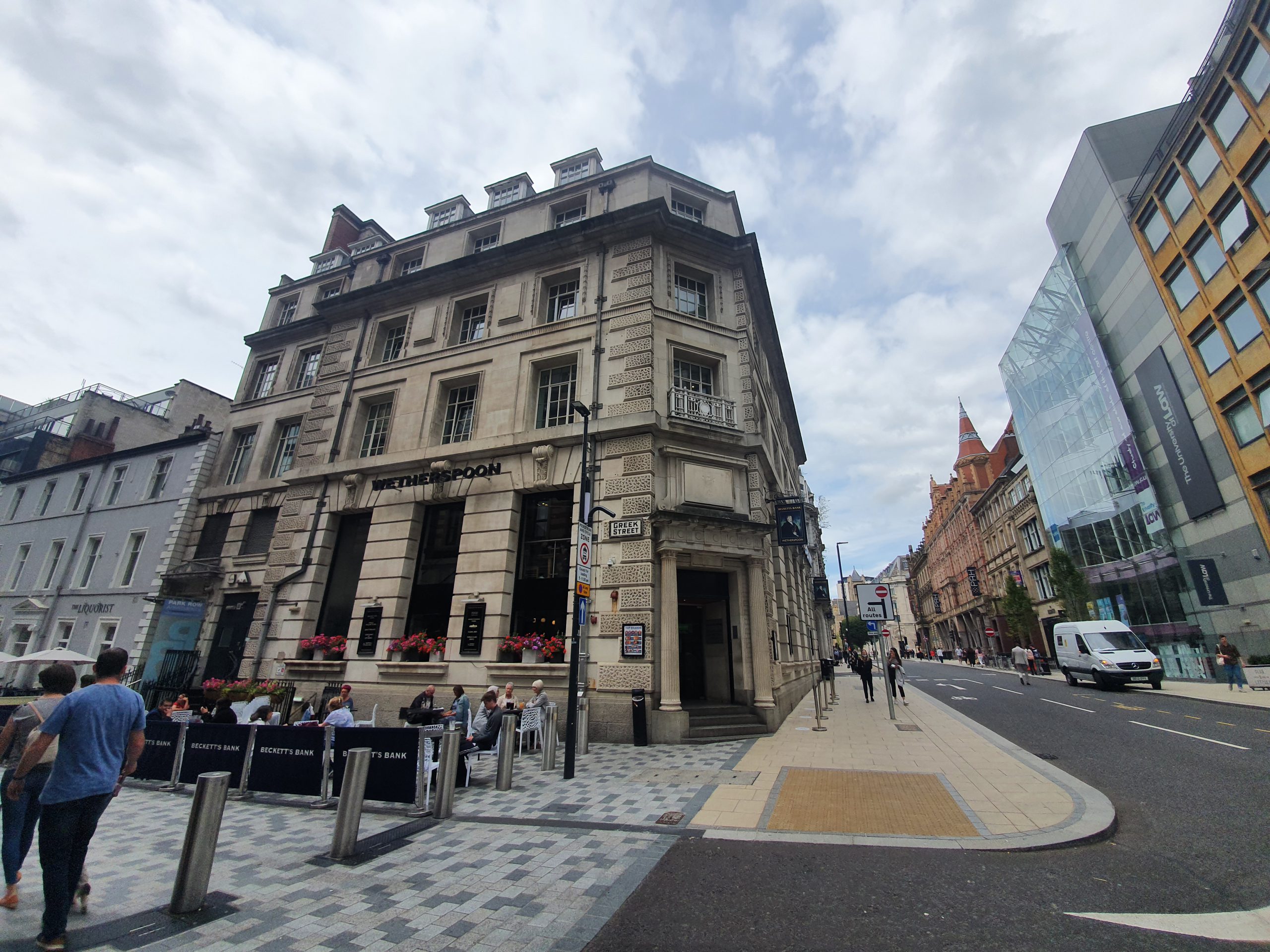

I’ve arrived into Leeds and will be having a little tour of Good Beer Guide pubs over the next couple of days. This is Beckett’s Bank, operated by JD Wetherspoons and it’s not in the Good Beer Guide, but I just liked the look of the building. This is a former banking hall, but it was owned by Martins Bank until they were taken over by Barclays in 1969 who then took over the building. Interestingly, Wikipedia notes (and I have no reason to disbelieve it) about Martins:
“Women were contractually obliged to leave the bank upon marriage, and as late as 1965, men were not allowed to get married until their salary reached a prescribed level.”
However, to add confusion to the mix, this building was never run by Beckett’s Bank, they had a location down the road which was later demolished. However, I assume that Wetherspoons didn’t really want to call their pub Barclays, so they had to use their initiative here.

It’s a grand banking hall which I really quite liked, hence why it’s making an appearance on this blog. When I went in there was a sign saying that there were no draught products available, although that matter was fixed during my relatively short visit. It was busy and there weren’t many seats about, but there were plenty of staff available to ensure that everything felt well-run.

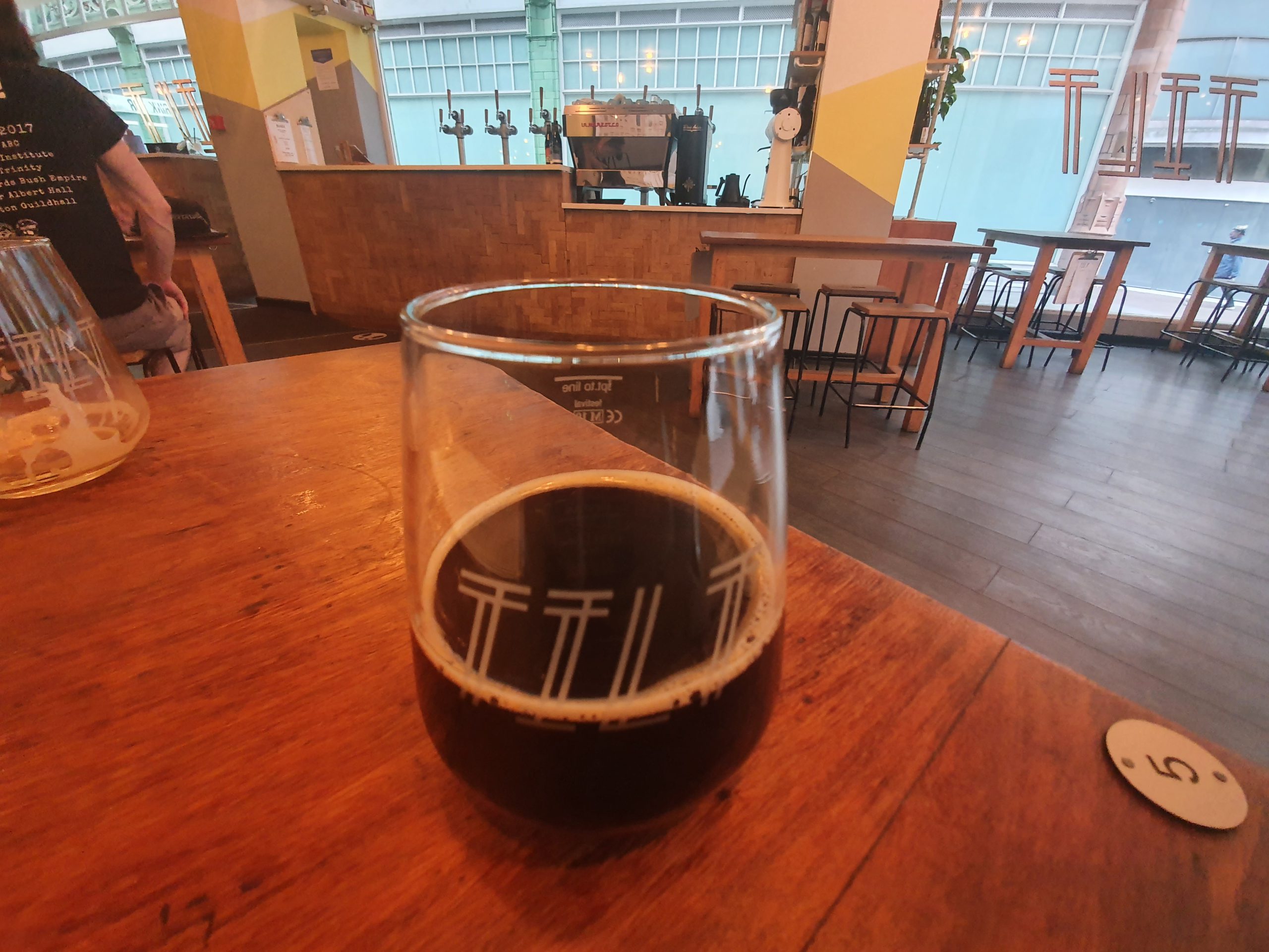
I went for half a pint of the Malty Python from Little Critters Brewery of Sheffield. Not a bad beer at all with something of a caramel flavour, especially for £1.25 for half a pint, with it tasting well-kept. There were four options of real ales, two of which were Ruddles and Abbot from Greene King, so they don’t really count in my mind. Along with the Malty Python, the other option was the Blonde from Bridgehouse Brewery.
I didn’t visit the pub for long, but I liked the atmosphere and environment. There’s the usual mixed reviews on-line, although they’ve not too bad overall. They managed to get:
“My little boy smashed his head on the marble tables and is now missing a tooth” which doesn’t sound ideal, although tables will cause damage if children hit their head on them. And the dangers of ordering alone, “I ordered a pizza. Got it. Wanted a beer. Had to go down to order and when I got back, the pizza was gone”. I’m not sure that I’d leave my food alone in a Wetherspoons….
And the quality of reviews sites is questionable given reviews like this:
“All though Becketts Bank is a lovely pub who serves very nice food, i wish i could say the same about its Sister pub “The Picture House” in Morley.”
So, they rated Becketts Bank (which they liked) with 1/5 as another pub wasn’t very good…..
Or this helpful contribution:
“My friend ordered a pint for me I already [h]ad one they wouldn’t swoop [sic] it it for anything else or a refund. Shocking”
Hmmmm. Anyway, for a quick visit, I thought that this was all rather lovely. The pub was serving a lot of food and was busy, with everything looking to be well managed.