
This caught my eye at St. Nicholas’s Church in Potter Heigham as I like the idea that the tree and fence have been here for decades, getting ever closer.

This caught my eye at St. Nicholas’s Church in Potter Heigham as I like the idea that the tree and fence have been here for decades, getting ever closer.
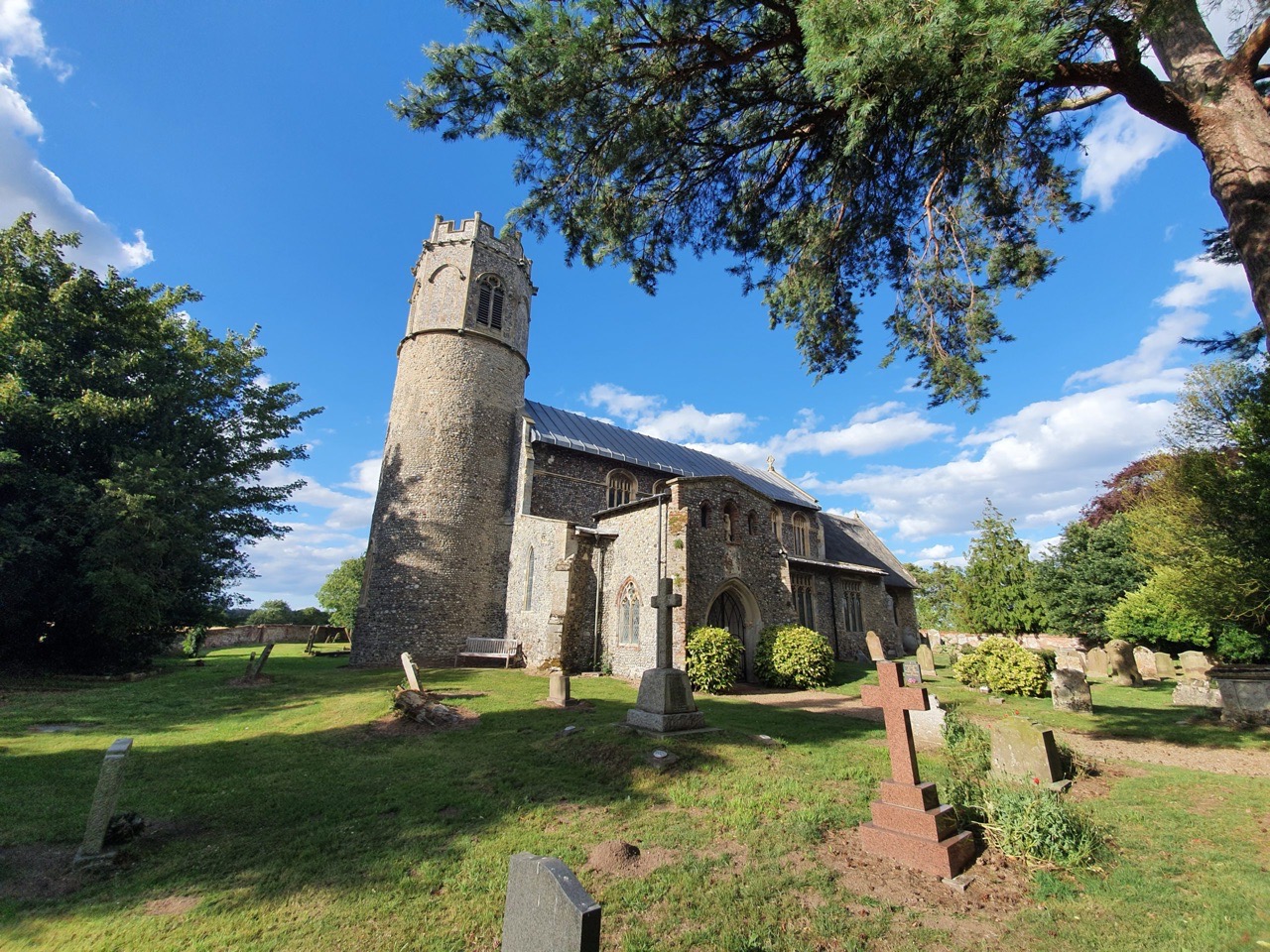

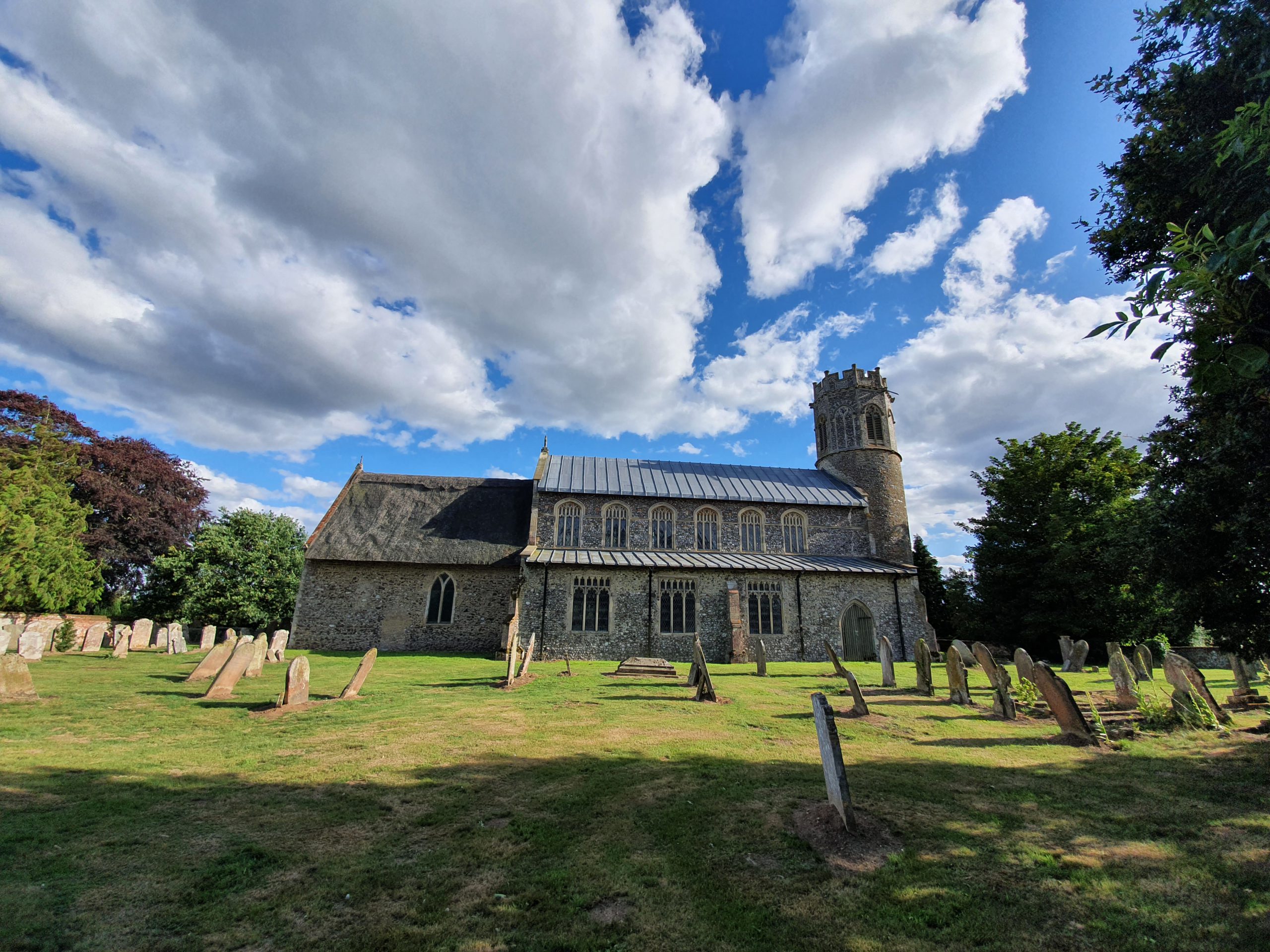
I still struggle to think of Potter Heigham without linking it to Latham’s and their memorable radio ads, but this church is a little way from there and in a relatively peaceful countryside spot. It dates from the twelfth century, although the nave was substantially remodelled in the early sixteenth century. The round tower has some heritage, probably twelfth century but perhaps as early as the eleventh century, with some Norman elements visible in the main structure of the tower and church.

The chancel is from the thirteenth century and remains thatched, making a curious difference to the leaded nave. And, this is recent, the nave was changed from thatch to lead in the last decade and although I’m sure it was necessary for some technical reason, I can’t say it looks aesthetically particularly pleasing.

The sizeable porch, which has gates from the Queen’s coronation in 1953.

The church’s round tower had an octagonal top added in the fourteenth century, a relatively common regional addition that has been better executed here than in some local churches.

The sizeable and peaceful churchyard, which seems a little bereft of older graves and I do wonder where they’ve gone. It hasn’t always looked in such good repair, when some antiquarians visited it in 1870, they noted “the churchyard looked as if the inhabitants were using it as a place for the cultivation of the rankest weeds”. They also added that the church needed “judicious restoration”, which was a typical Victorian strategy that often caused more damage than good to the buildings.
Getting inside the church isn’t yet possible, although it apparently holds some treasures in the form of medieval wall paintings and a hammer-beam roof of note.

Although there are some farm buildings by this church, there’s not much else and this is another location that feels just a bit trapped in time. The church feels a little uncared for as well, it needs the foliage taking out of the tower and it doesn’t feel like a building that is much visited. But, it’s easier to feel a connection with the past with structures like this, whereas nearby Stalham church felt a bit too neat and regimented.
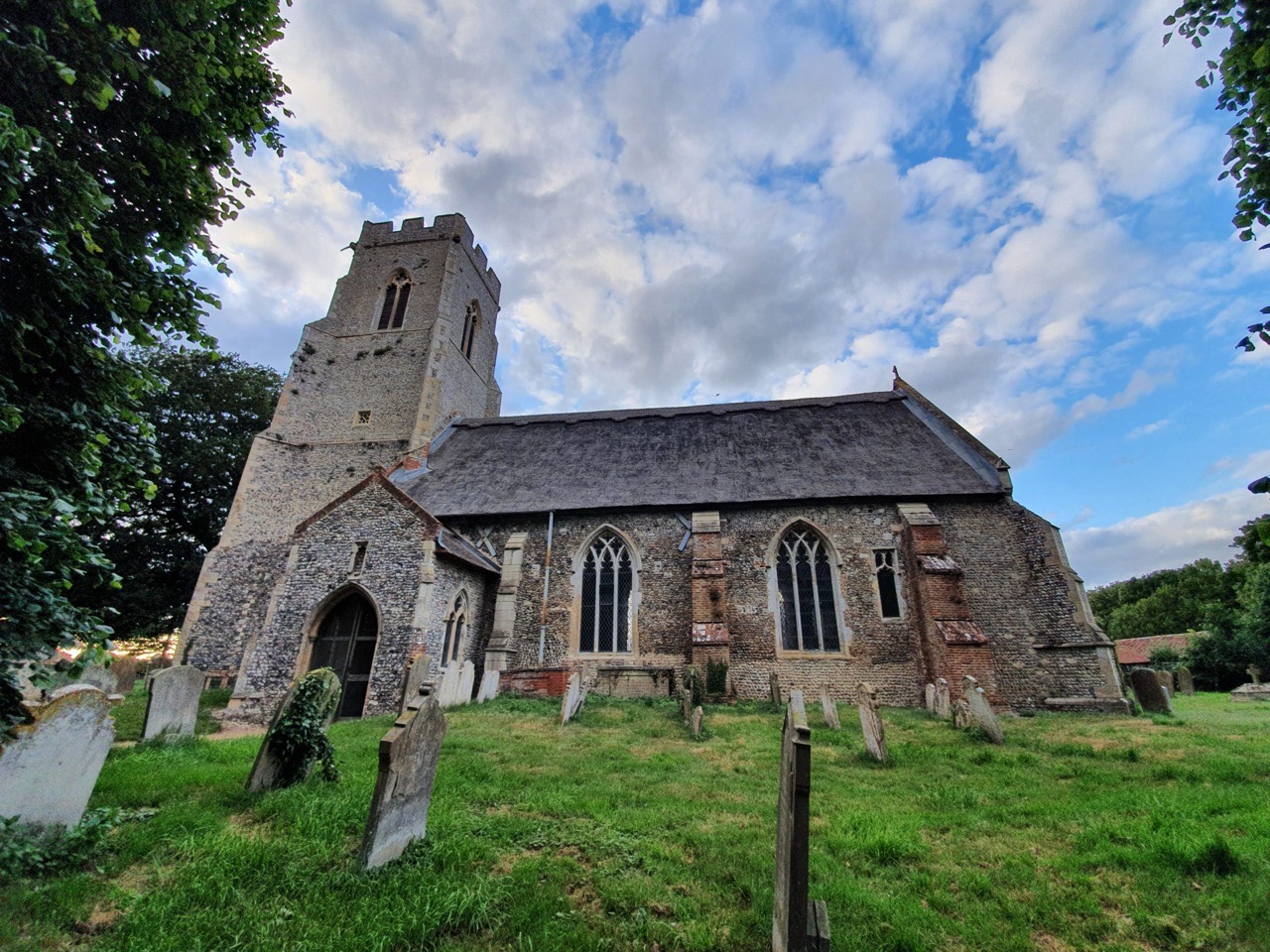
The church was originally thatched and the main body of the church dates to the fourteenth century, although the tower is fifteenth-century. The porchway is also contemporary to this period and the niche above the door seems to have been empty for some time.
Incidentally, it’s not clear to me whether this village should be spelt Brumstead or Brunstead, as both seem to be acceptable. However, the village sign near the church says Brunstead and so that’s what I’m going with. Historically, the word Brunstead appears far more than Brumstead, which makes me feel that I’ve made the right choice.

I puzzled over why the church was so full of character and history, other than this end wall at the east of the building. The listed building record explains why, that’s because they pulled the chancel down in the 1820s and sealed that wall off. It seems that the chancel was taken down before it fell down, but it has created something of a disharmony to the building.

The buttressing here isn’t subtle, very much laid into the fabric of the church and it doesn’t fit in very much aesthetically. But, I think it adds great character.

There’s something quite haunting about this church, still proudly standing, although it feels like it needs some support in all senses of the word.
I look forwards to being able to get inside the church in the future and I’m intrigued by a newspaper article from 1867 which talks about the great excitement there was when an old wall painting was discovered which was of the seven deadly sins. There seems no mention of this in the official listed record, so I’m wondering whether this mural has been lost.
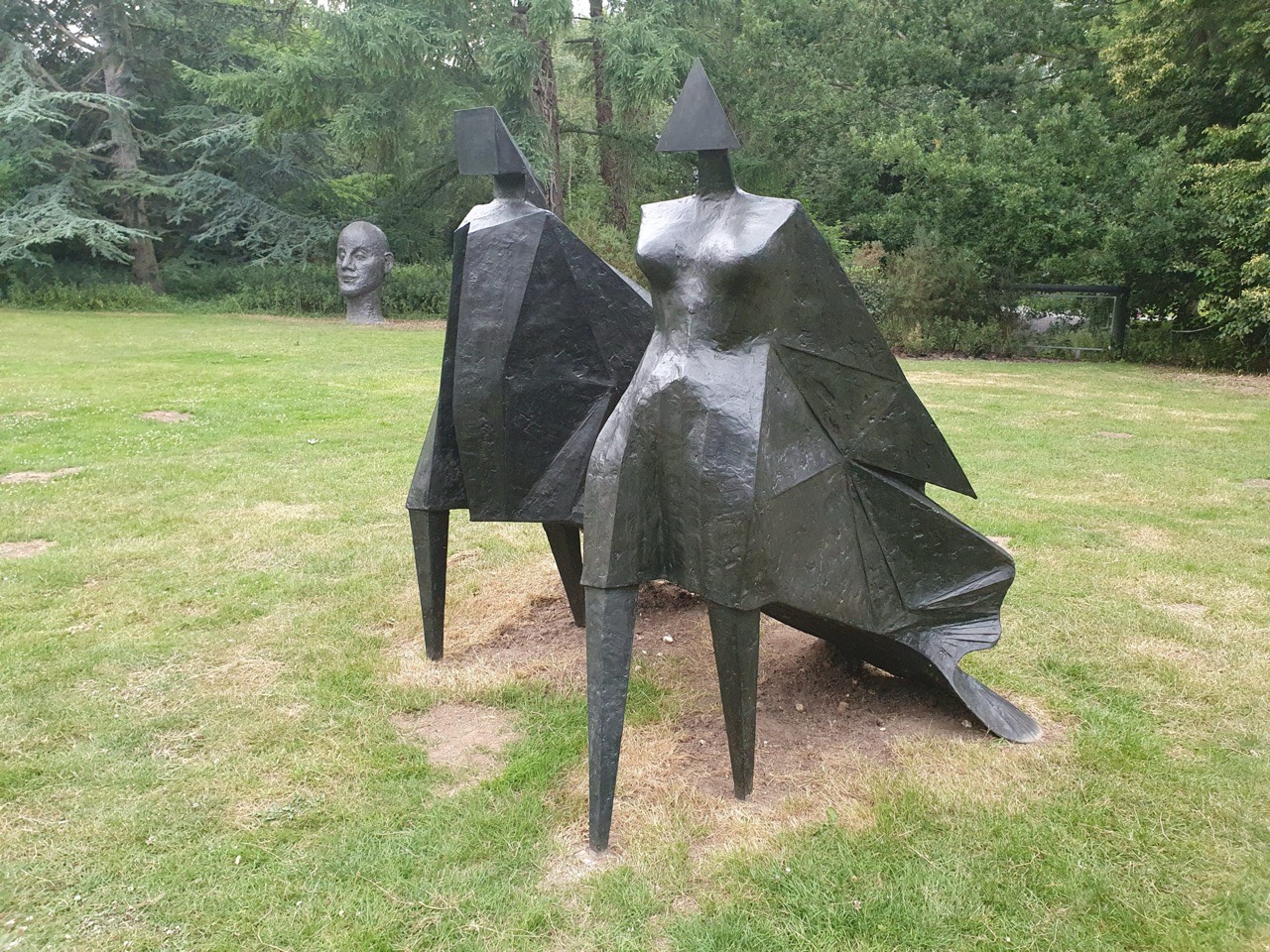

This bronze is by Lynn Chadwick (1914-2003) and is in the sculpture garden of the Sainsbury Centre for Visual Arts. The design was for the Queen’s Silver Jubilee in 1977 and there were six casts made in 1978, of which this is one. Incidentally, if anyone fancies owning this, one came up for auction (number 2 of 6) in 2018 and reached just under £2.6 million against an estimate of £600,000 to £800,000. That seems like a lot of money to me…..
Anyway, I have no idea where the other five bronzes are (or indeed if this is the one which sold in 2018), probably mostly in private collections somewhere around the world and surfacing only for occasional exhibitions. These ones were meant to be removed from the Sainsbury collection at the end of 2019, so will likely be gone soon as they’re only on loan from the collection of Denise Coates CBE (the controversial business leader who made money from her betting business) and Richard Smith.

The figures are quite powerful with their different shaped heads and angular designs.
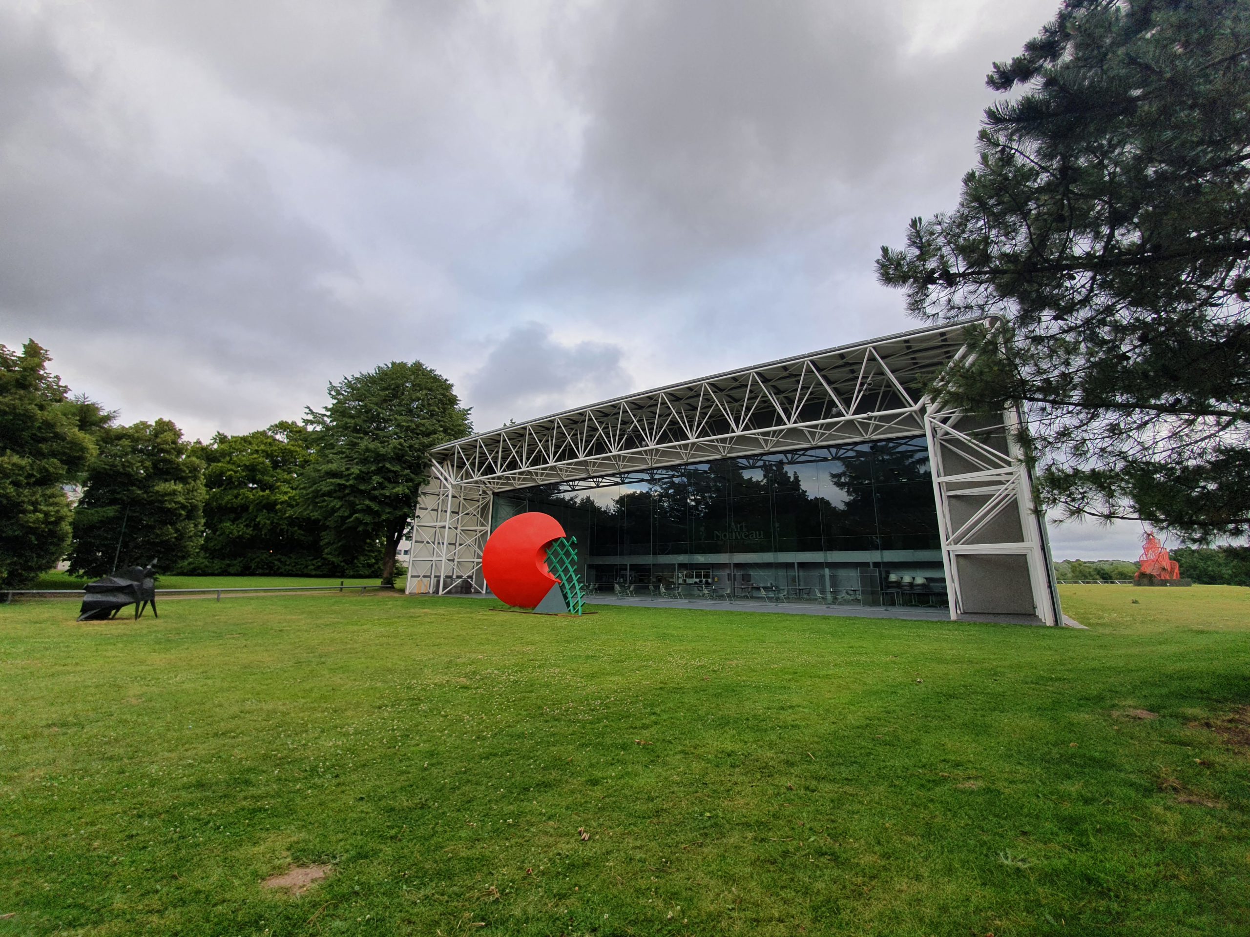

For some time, and inspired by the Rodin Museum in Philadelphia, I became quite engaged with the works of Auguste Rodin. Not just the artworks, but also how French law now allows for twelve casts to be made of original plaster moulds and that means it’s intriguing to see where the various bronzes have ended up.
There’s a similar theme to the works of Henry Moore (1898-1986) and the bronze known as Draped Reclining Woman was designed in 1958. There’s the original cast, known as 0/6, and then six castings were made of this original work and this was undertaken by Hermann Noack.
This bronze, now on display in the sculpture park of the Sainsbury Centre for Visual Arts at the UEA, was once located in the garden of Sir Robert Sainsbury (1906-2000). He was the son of the founder of the supermarket chain and he also donated a significant art collection to the gallery.
Wikipedia, that bastion of truth, tells me where the other bronzes are.
The Tate Museum (they’ve put it on display at Glyndebourne near Lewes)
Pinakothek der Moderne (a modern art gallery in Munich, which is a city I haven’t visited)
The Staatsgalerie (a gallery in Stuttgart, another city I haven’t visited)
The Norton Simon Museum (this is in Pasadena, a city I’ve visited, but not the museum and they have the 0/6, so the original cast)
The two others are in private collections (so, could be anywhere)
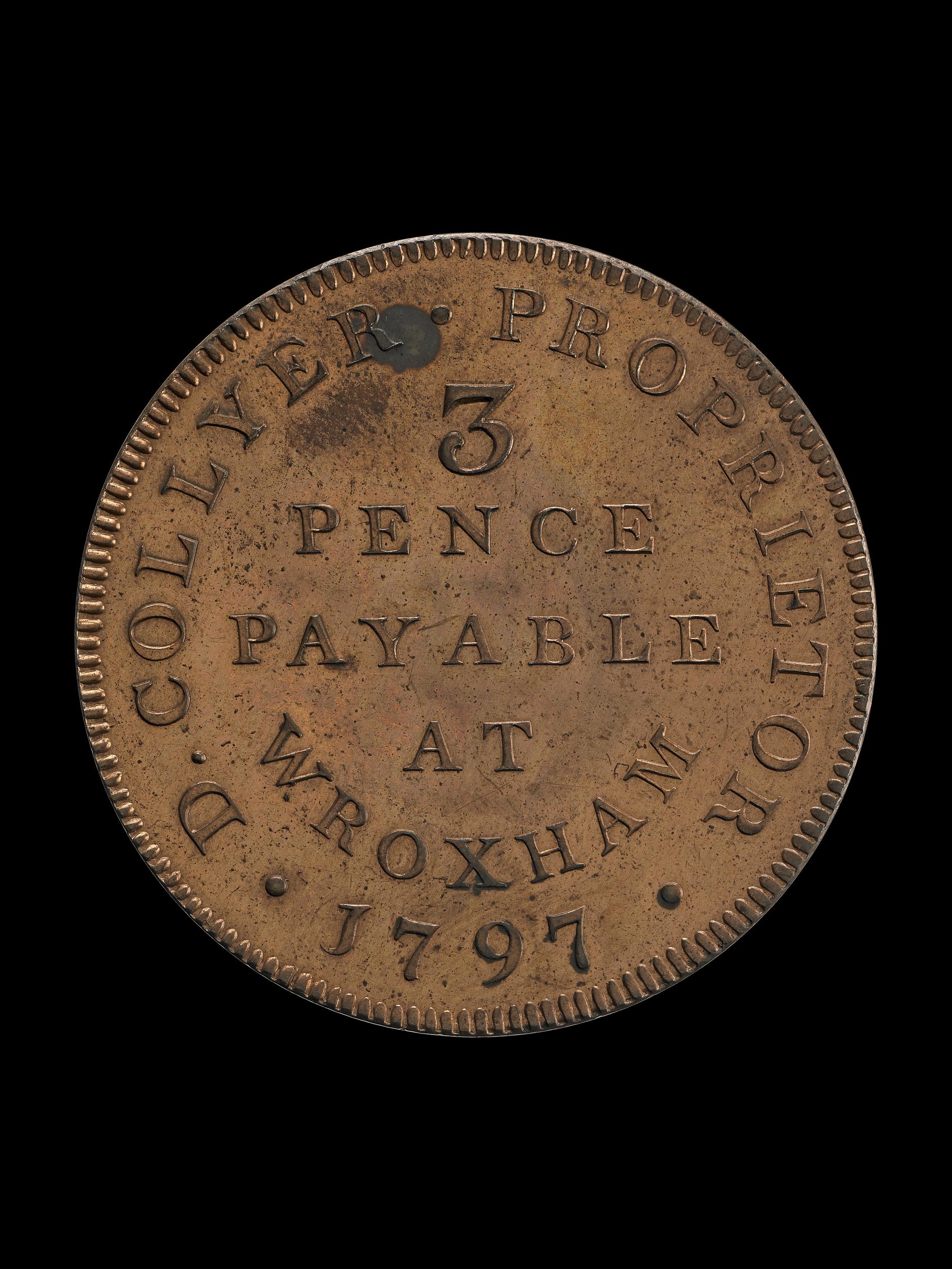


This threepence alloy token (© The Trustees of the British Museum) is in the collections of the British Museum and it dates from 1797, when it was used to pay agricultural workers in Wroxham. There were three main periods when these trade tokens were used, the first crisis was in the mid-seventeenth century, the second crisis was in the 1790s and the third crisis was in 1810 and the years that followed. The crisis came about because there was a shortage of small coins in circulation and thousands of these different tokens came to be issued. There’s a big collectors industry now built up around the collection of these tokens and there was a novelty about them at the time as well.
The British Museum acquired this token in 1818, given by Lady Dorothea Banks, and they came from a collection established by her sister-in-law, Sarah Sophia Banks, who had died in the same year as the donation was made.

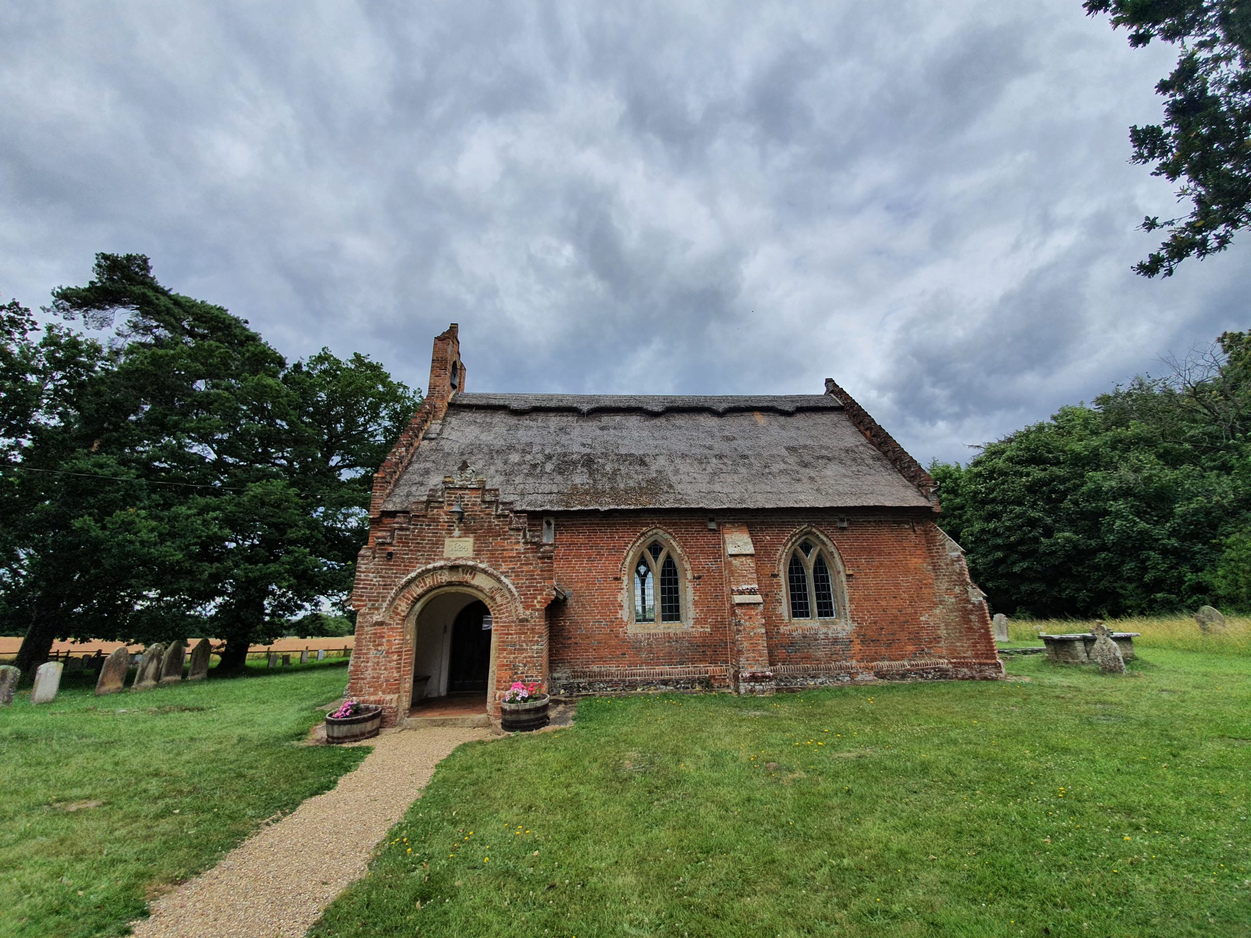
I’m not sure exactly where this etching was made, but it’s somewhere in the area near to St. Peter’s Church in Hoveton. It was drawn in either 1811 or 1812 by John Crome (1768-1821), a local artist who was one of the founders of the Norwich School of painters. There’s something timeless about the etching, and although I can’t place where it was drawn, it probably looks the same today. Well, unless it’s now under a housing estate, but given how peaceful and remote St. Peter’s Church is, I rather hope not. One thing that I hadn’t realised until today is that Crome was also a teacher at Norwich School, as in the educational establishment and not the painting circle.
The plate was sold by Mrs. Judkin to the British Museum in 1872 following the death of her collector husband, Thomas James Judkin, who had died the year before. This etching, which is © The Trustees of the British Museum, isn’t on display in the museum and there’s also a similar one in their collections.
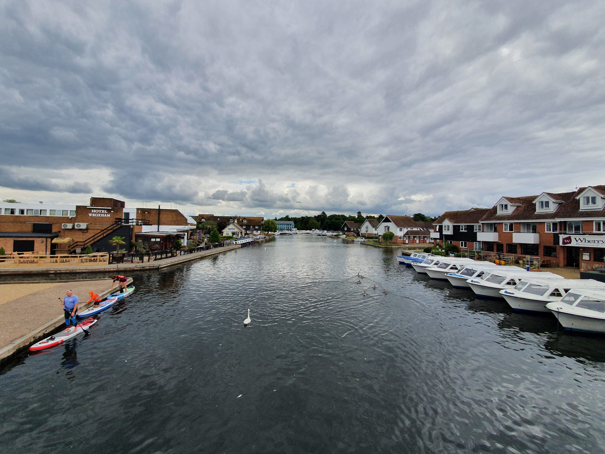

Granary Staithe is located by the bridge which separates Wroxham and Hoveton (clicking on the above map makes it easier to see) on a spot in Hoveton by the river. It’s the bit under the right-hand Norwich Road on the second map.

The River Bure, with Granary Staithe on the right. There were concerns in 2012 when the owners of the land, Norfolk County Council, wanted to sell it for £250,000 or lease it for £25,000 per year. The only problem was that the Broads Authority said they’d oppose any building on the site, so plans to make it an attraction or similar wouldn’t have been viable. After some fund-raising, Hoveton Parish Council were able to buy the land and it opened as a public area in March 2013.

No shortage of swans, mostly looking for food from visitors. One disadvantage of this part of the village is that it’s a bit swamped with seagulls hoping to grab some chips from locals who have visited the neighbouring fish & chip shop.

A useful history board about Granary Staithe, which is visible behind it with seating and excellent views over the river. Before the council acquired the land, it had been a flat area which visitors could use, but it’s now been tidied up.
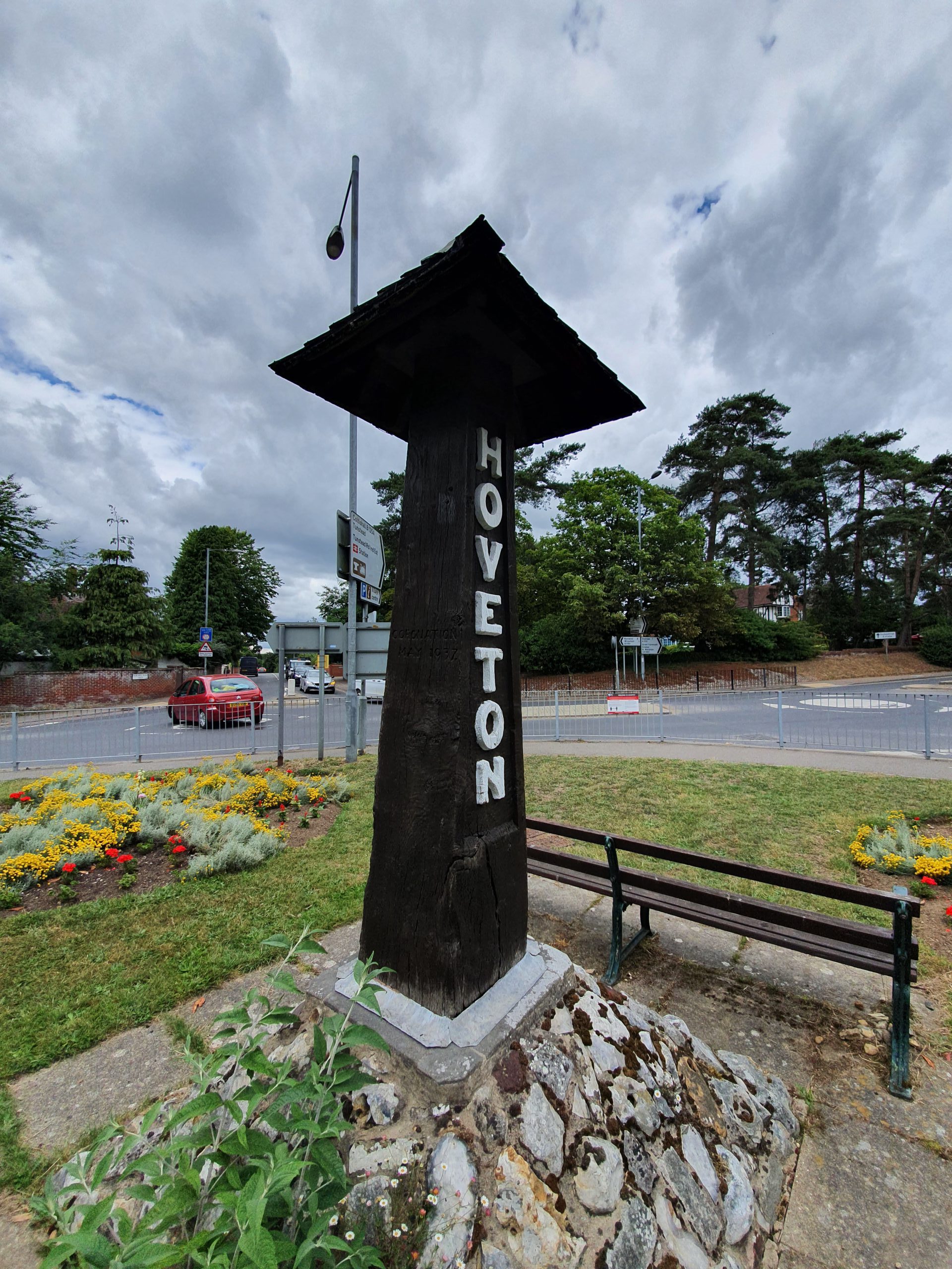

There’s not a huge amount of innovation in Hoveton’s village sign in terms of the design, but it’s a pleasant area with benches and a lovely view of the busy road.

The village sign was installed here to mark the Coronation of King George VI in 1937 and there were also plans to build a playing field to celebrate the Royal event.

The sign was refurbished and restored in 2012.

Another view of the sign. And busy road. This reminds me that I must also go back to Hoveton and cross over the river so that I can get a photo of Wroxham’s village sign.

The grave of George Neave (1803-1871) is in the churchyard of St. Peter’s Church in Hoveton. He was born in Smallburgh and he spent his life working as an agricultural labourer, initially living in Neatishead. George was listed on the 1841 census, living with his wife Elizabeth in Cangate Common in Neatishead, along with his 12-year old daughter Mary, his 10-year old daughter Clarisy, his 7-year old son William, his 5-year old son James and his 1-year old daughter Emily.
In 1851, George was living with Elizabeth, as well as with his 16-year old son William, who worked as an agricultural labourer, his 12-year old daughter Emily, his 9-year old daughter Emma, his 6-year old daughter Sarah Ann, his 5-year old daughter Susan, his 1-year old daughter Jane, and his grandson William, aged 5. All of George’s children, and his grandson, had been born in Neatishead. Looking through the burial records at Neatishead, there is a 3-year old, Ann Neave, recorded as having been buried in the church in 1858 and this could have been one of George’s children.
In 1861, George was living with Elizabeth, along with his 16-year old daughter Sarah, his 14-year old daughter Susan and the new-born George, who was George senior’s grandson. Unlike the others who had been in Neatishead, George, the grandson, had been born in Salhouse. That must have seemed just a little bit exotic….
By the 1871 census, he was listed as living near the Common in the village, along with his wife Elizabeth and Hannah Hales, a servant out of situation. A few months after the census was taken, George died at the age of 68.

George’s entry in the burials register for the church, the vicar was from the local Blofeld family of Hoveton Hall and the burial took place on Tuesday 30 May 1871. Elizabeth, his wife, was buried with George following her death in 1889, at the age of 85.