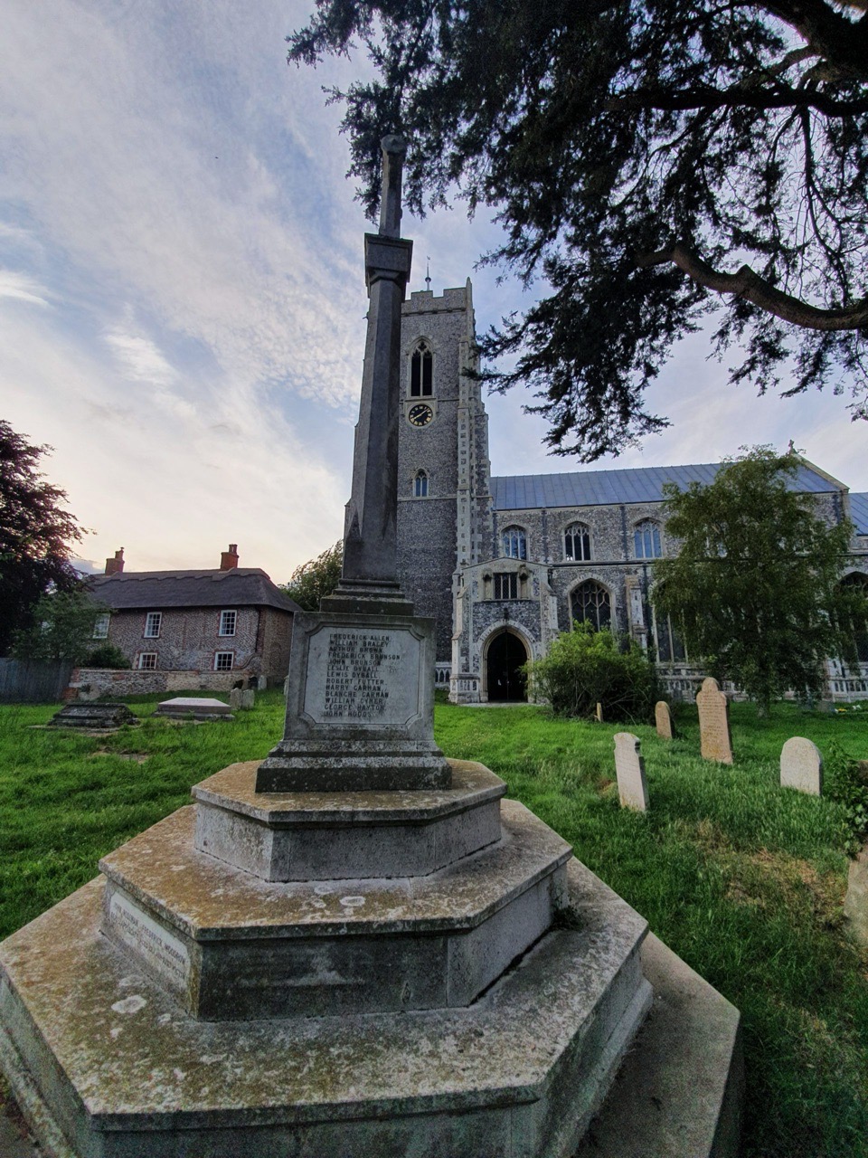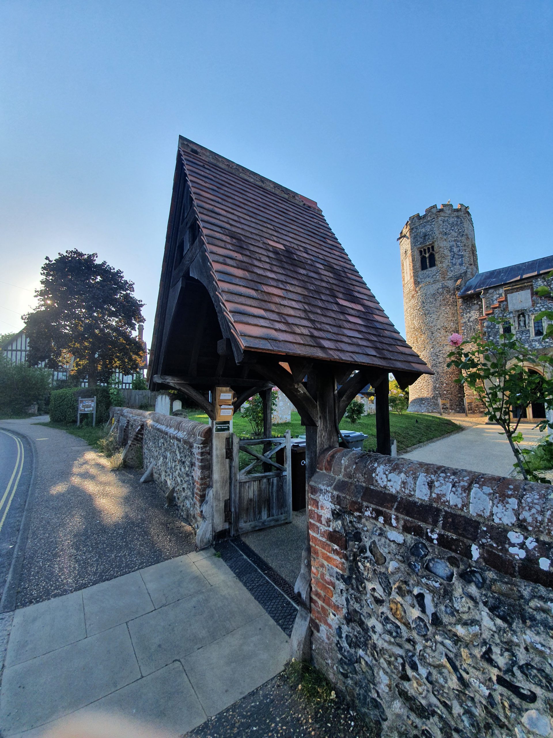

Elijah Long is listed on the war memorial in Martham and it’s initially puzzling as to why he’s here as he served in the Hampshire Regiment, he is buried in Sculthorpe, in another part of the county, and his parents didn’t live in the village during the First World War. He did though have a connection, and a strong one, insomuch as he lived on White Street when he worked in the village as a grocer’s assistant after his parents, George and Ruth Long, had left Martham and moved to Sculthorpe. He had been born in Attleborough on 24 October 1889 where he lived for a couple of years until his parents moved to Martham.
Around 60% of British army records were destroyed during air raids in the Second World War, a sad loss to the war records of four million men. Around two million records do remain, although many are damaged, but separately to this, the records of those invalided out of the army in the First World War are still intact. And this is the case with Elijah Long, so there is a multitude of information about him and his war efforts.
The first page of the file shows that Private Elijah Long was invalided out of the British Army on 19 July 1917, when his discharge papers were processed. Elijah’s discharge was handled in Exeter and the files note that he was 27 years and 9 months old, he was 5’7″ with a fresh complexion, blue eyes and dark brown hair. It was noted that he had a scar on his right shoulder and he was planning to live with his parents whilst he recovered, at Grove Cottage in Sculthorpe. The notes mentioned that he had good character and was trustworthy, but was wounded whilst fighting in the Somme. The discharge papers noted that he had been in the army for one year and 214 days, being located in East France between 16 August 1916 and 30 April 1917.
The file then shows Elijah’s sign-up papers, he was examined in Great Yarmouth on 8 December 1915. His height was listed then as 5’5″ and he weighed nine stone, with his two vaccinations at birth having been noted. He was sent to fight for the 3rd battalion of the Essex Regiment, initially with the service number 28095. He later transferred to the Hampshire Regiment and his service number changed to 26532.
The medical records show that he was wounded on 5 November 1916 in France when he was hit by shrapnel, although the hospital report wasn’t until 1 May 1917 as he had spent time at a casualty clearing station. There the doctors noted that his reflexes were shot and he was incontinent, and although the shrapnel had been removed he remained weak and had very extensive bed sores. There was no way that Elijah could continue fighting, so the doctor’s recommendation was to discharge him from the military. The medical board issued its decision on 28 June 1917, which was that he should be invalided out of the army over the next few weeks as although Elijah’s health had improved, he had lost feeling in his legs and was permanently unfit to serve. The stamp of “total disablement” on the documents told the story.
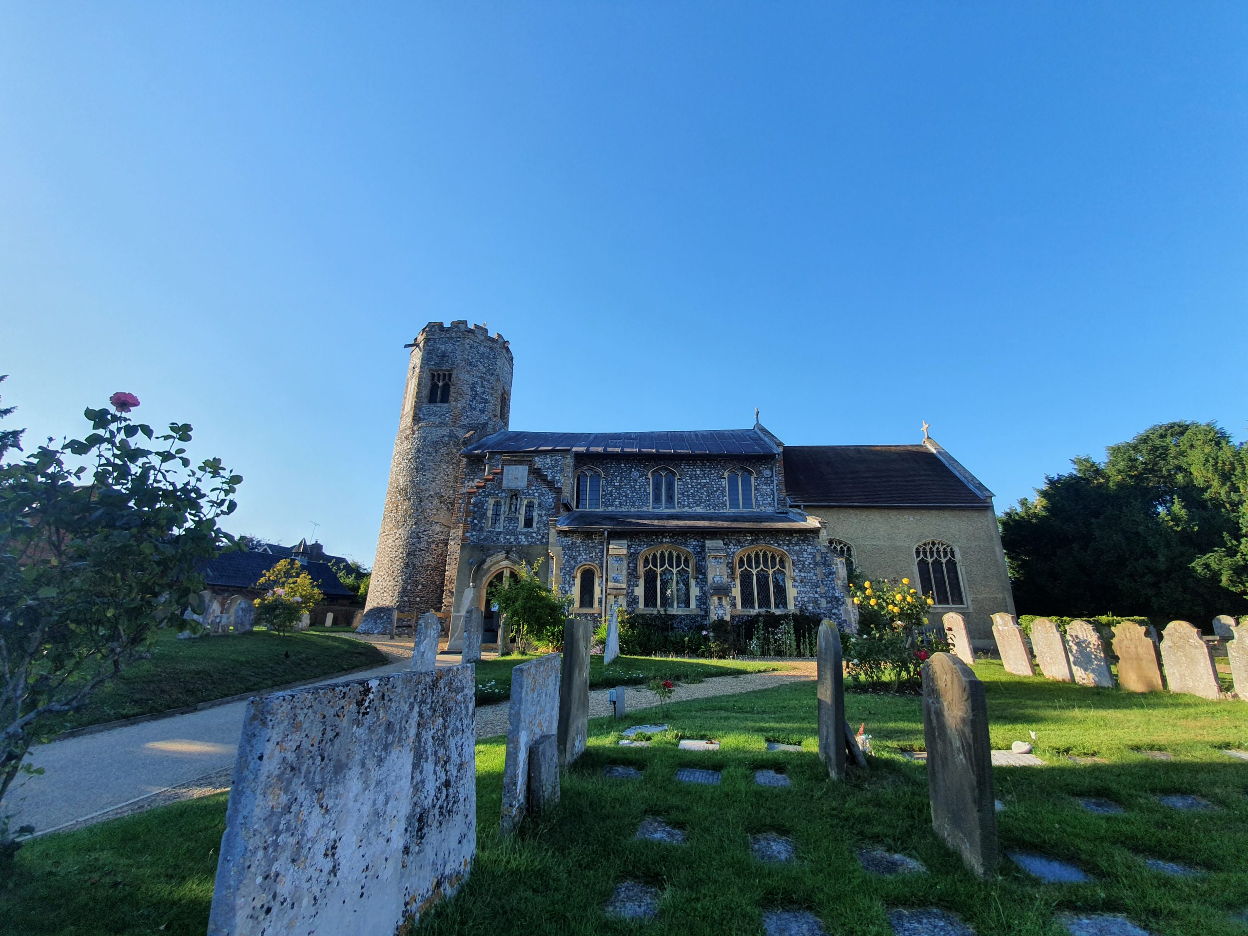
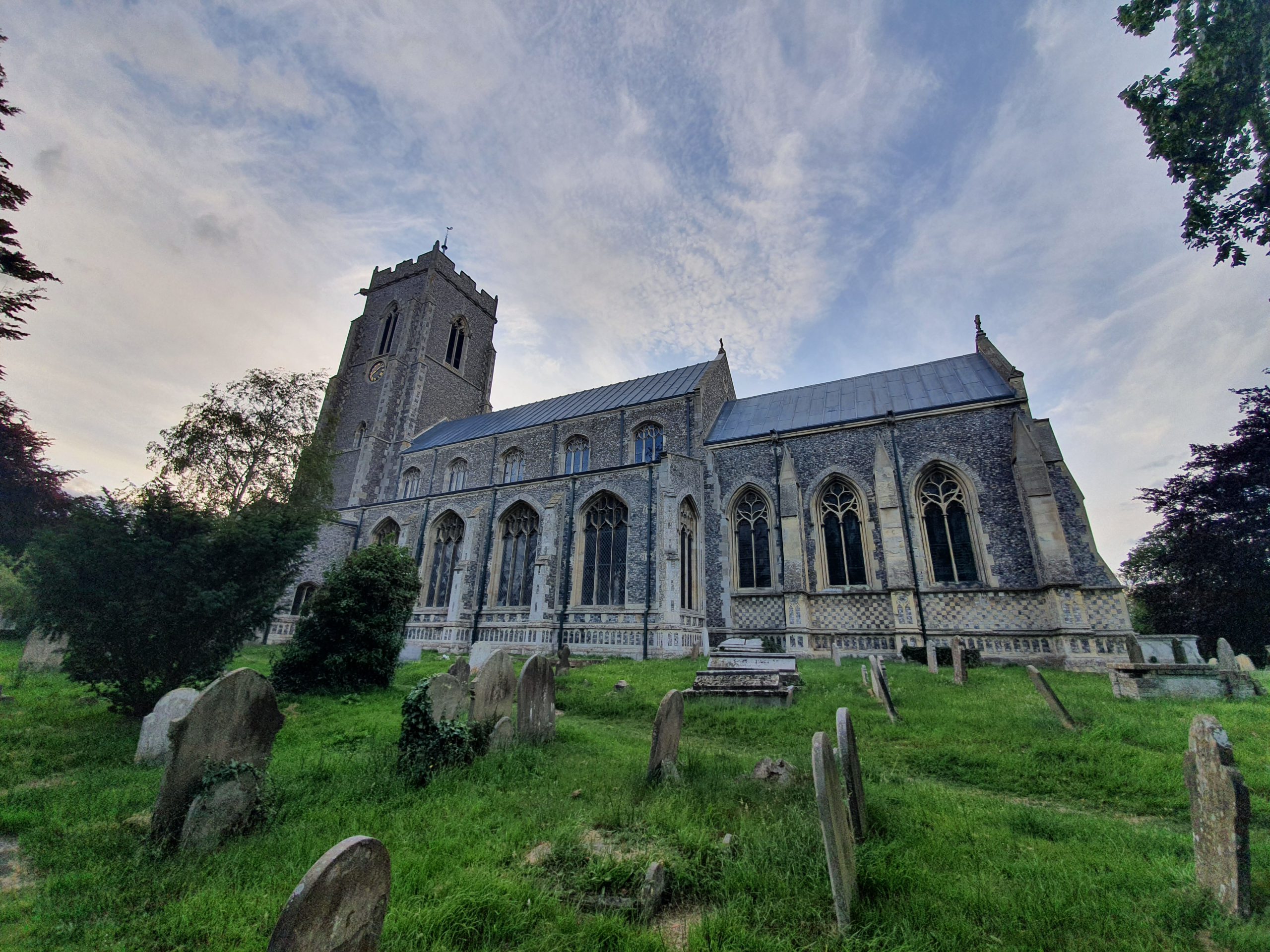
Elijah got home and his parents started to take care of him, but his injuries meant that he died at their house on 16 March 1918 at the age of 28. He was duly buried at the Church of Saint Mary and All Saints in Sculthorpe, a tragic waste of a life for a soldier who spent just ten weeks on the front line before being so badly injured.