At the weekend, I went on the brewery tour at Woodfordes, but I didn’t take any photos of that, so this list of beers will just have to suffice. The tour lasted around an hour and was informative and interesting, showing us around the brewery which has been slowly but surely expanded over the last couple of decades. Their latest addition last year was the canning, bottling and labelling section, so everything from the brewery is now produced in-house.

After the tour, there was a chance to try some of the beers which are brewed on site. I think it’s fair to say that Woodfordes don’t attempt to be a great brewery in terms of innovation, richness of taste and revolutionary new beers. Instead, they focus on traditional beers, session ales and occasional departures into different beer styles. Their average score on Untappd is 3.36, which is at least higher than Greene King’s 3.25, but well below other breweries such as Titanic who are at 3.64.

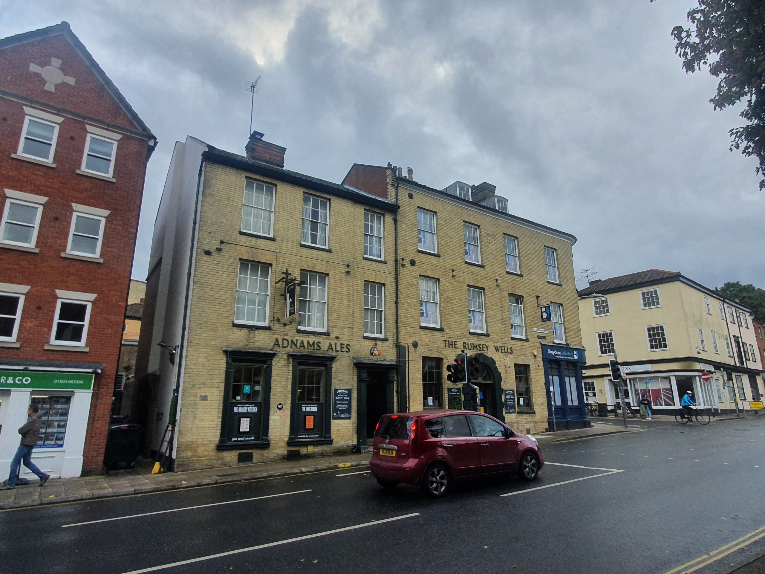
At the in-house bar, there are mostly keg options at the front and cask options at the rear. The staff were knowledgeable about the beer options and they were friendly and helpful. It’s a decent set-up that they have here in the Norfolk countryside, all very welcoming. The brewery is located behind the Fur & Feather Inn, all part of the same complex which is near to the village of Woodbastwick.

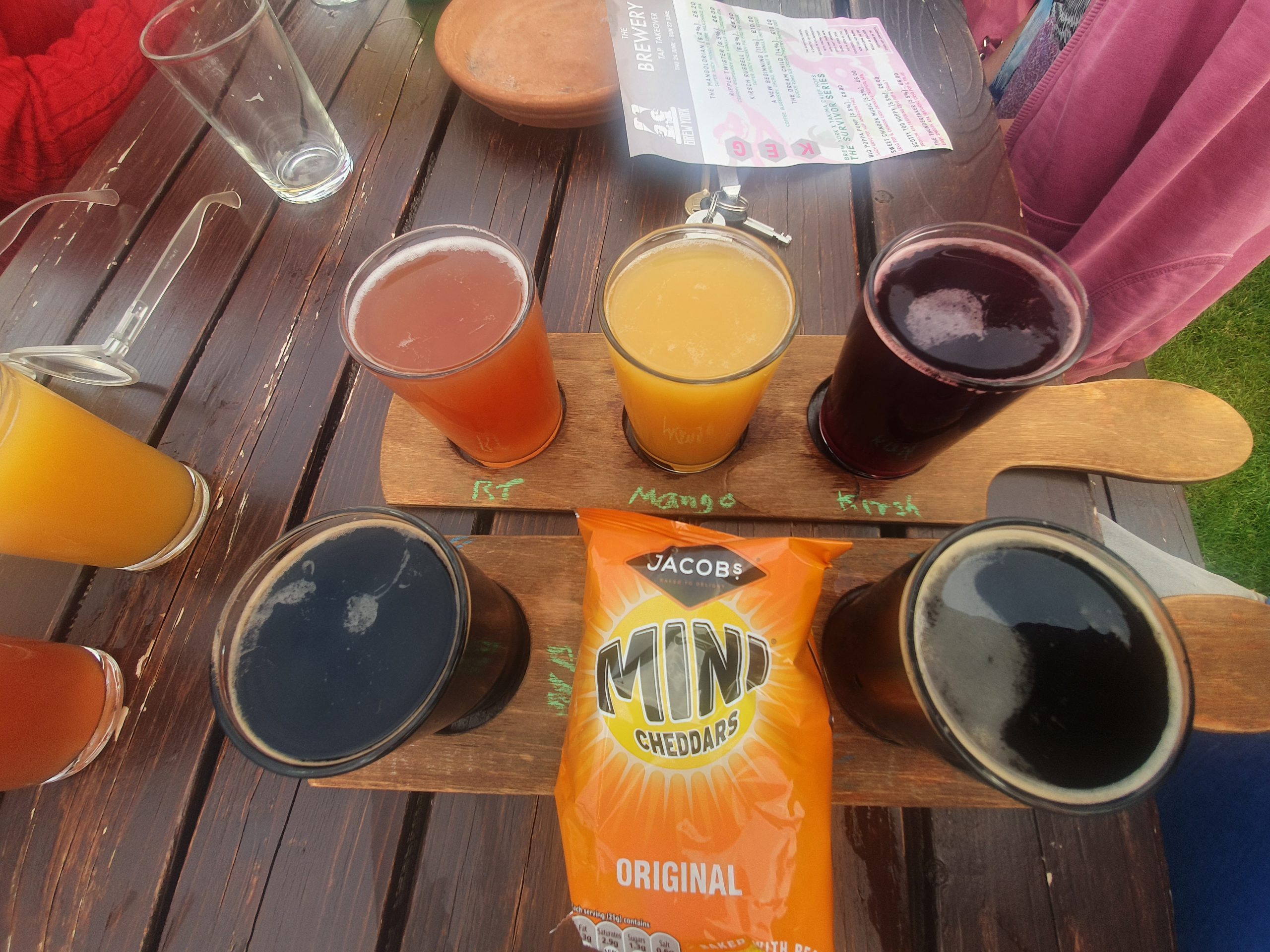
From left to right, the Nog, the Albion Stout and the Nelson’s. I must admit to forgetting what I had ordered, even though they had sort of written on the beer flight what I had. That meant I had to go back in and piece together my logic when ordering, which probably suggests that I need to get more professional at this whole remembering beers thing. Anyway, the Nog is probably the best beer that I tried from Woodforde’s, a bit smokey with flavours of chocolate and burnt sugar. The Albion is the brewery’s attempt at Guinness, and it’s very credible, although it’s lacking any real depth of flavour in terms of the aftertaste. Quite creamy though and I’d order it again if I saw it in a pub. Well, unless there was something that I hadn’t tried, I’m all for trying new things.

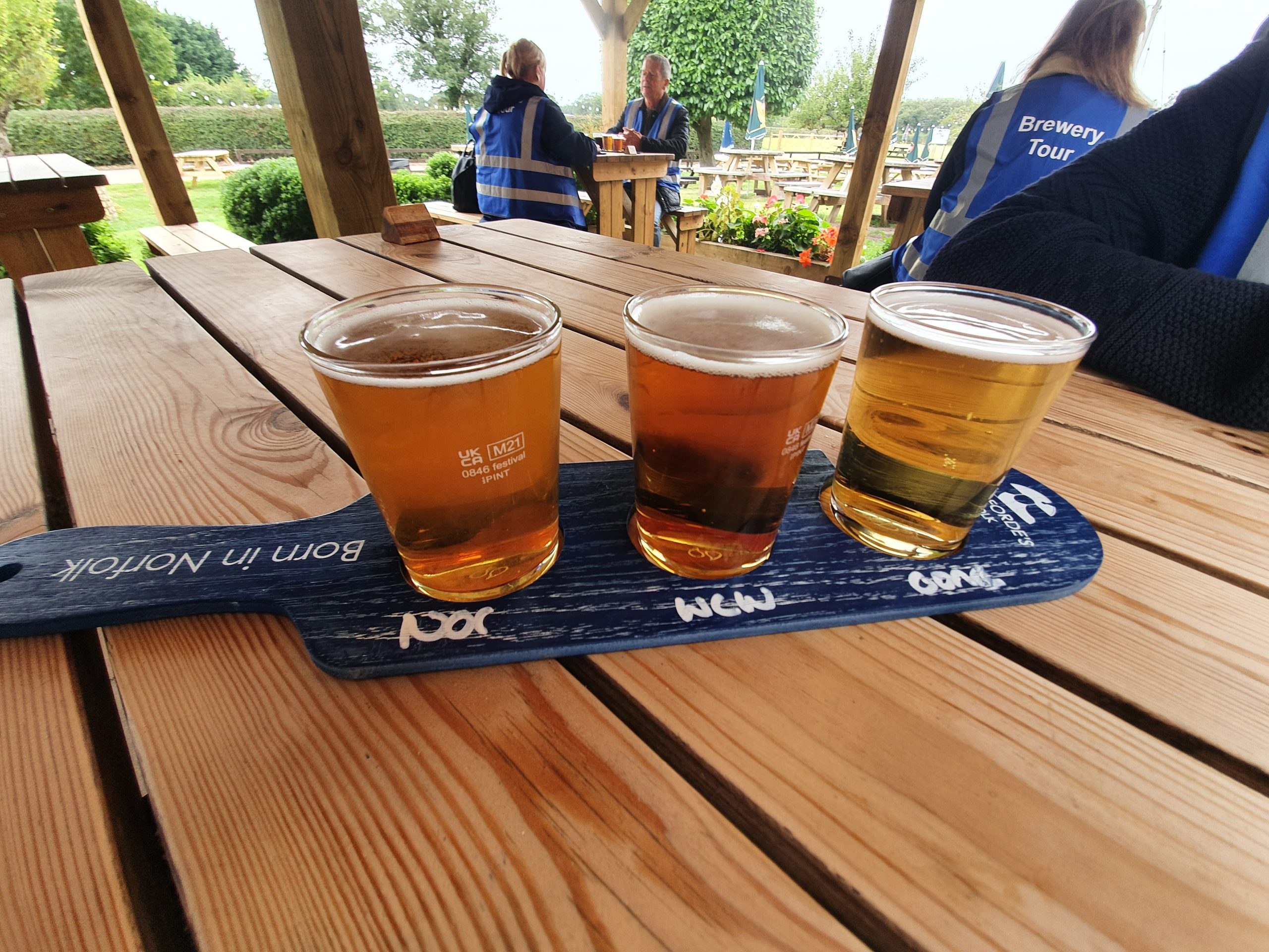
From left to right, the Norada, the West Coast Wherry and the Conquest. Norada was a little devoid of any flavour, probably the weakest that I tried, although the West Coast Wherry wasn’t much more decadent. The Conquest, which is a lager, was slightly better, but there’s a lot more that they can do here. We were seated for this tasting outside, which is rather a lovely area in the summer months, although marginally less appealing in the October rains. It was a covered patio though, so no problems for the tasting. As an aside, I had only tried one beer from the Woodforde’s before, as I usually go for other options, so I was pleased to work through six of their different beers in one go.

After the brewery tour and beer tasting, we meandered into the restaurant area of the Fur & Feather. The staff were engaging, personable and keen to help, so it’s a comfortable environment. I thought that it was slightly cold, which suited my needs perfectly, but I suspect they might get complaints from others about that.

For the meal, I went for the beer battered fish and chips, as it’s important to have beer as an ingredient in food when visiting a brewery. I thought that this was all fine, a decent portion of fish and chips, with the batter having a richness of taste to it. The peas were perhaps a little boring, a bit of mushing them up and shoving some mint would have livened them up, but I was suitably pleased by the whole arrangement.
The entire set-up felt professional and well managed, with the signage being clear and everything was clean and compliant with the latest health requirements. There were no negatives that I’d want to mention, I thought that the welcome was genuine and authentic. As for the brewery, I’d ideally like to see some more exciting small batch stuff rather than some beers which were a little generic. However, they are aiming for the mainstream given their volume, so perhaps the generic is what they want to mostly go for, but there must be room for experimentation. Anyway, for anyone tempted to visit the brewery tour, the pub or the restaurant, all recommended and a lovely afternoon out.