A few weeks ago, I went to Hard Rock Cafe on an offer with The Fork (who annoy me, but we won’t go there today) which gave 50% off the food and £20 to spend at another restaurant. I was sceptical whether that £20 offer would actually arrive, but it did and I decided to spend it at the Manjal Indian at Canary Wharf. I also forgot that Richard was coming down to London for his decadent purposes, which made things more confusing but, fortunately, nothing that the restaurant couldn’t handle.

The view from the restaurant. Indian cuisine is one of my favourites and I’ve had a long-running project of visiting an Indian restaurant in every country that I’ve been to. Unfortunately, I haven’t added many restaurants to my list over the last couple of years as travel has been just a little impacted. I’ve decided that India do the best Indian food, which is not really a revelation that I will send to a local newspaper….. The United States and Poland also manage to deal with Indian food very well. Anyway, I digress.

The entrance is a little fiddly as there’s an Italian restaurant on the ground floor, which has to direct customers to the Indian one upstairs. Perhaps they’re jointly owned, but the signage really isn’t entirely clear here. When diners get upstairs, there’s a seating area (see above photo) for those waiting for their meals. The welcome from the staff member was polite and he was able to understand my exacting requirements of £20 off for me and charge Richard what they like (I didn’t put it like that, but that was my priority).

The interior of the restaurant, all clean and comfortable. They also had a private dining room which had glass doors facing the main part of the restaurant, although this wasn’t used when we were there.

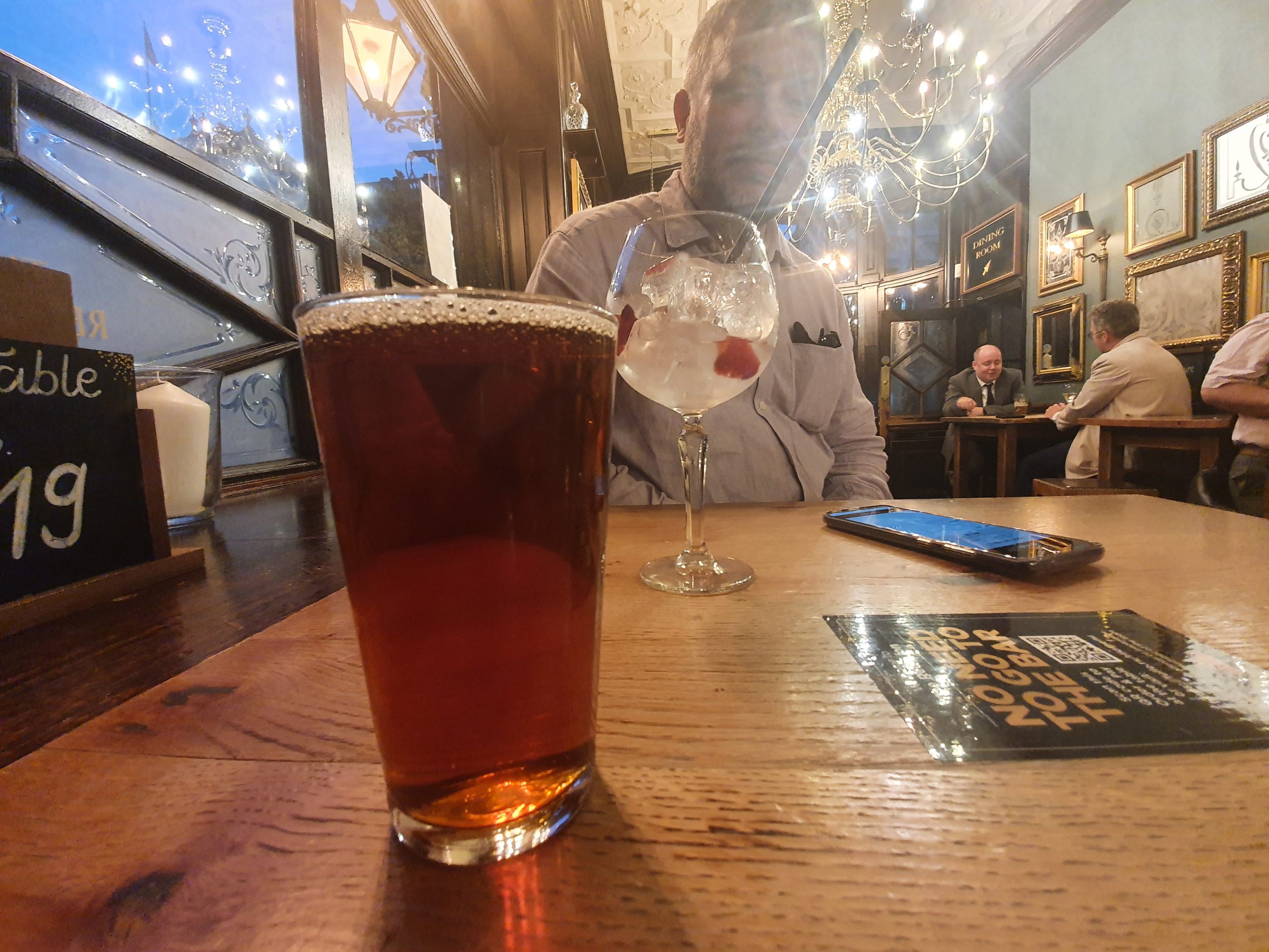
The mango lassi, one of the better ones that I’ve had. Very mangoey (is that a word?). Richard had a cocktail. I didn’t like to ask why.

Richard’s food is cluttering up my photo here, mine is the peshwari naan on the left, pilau rice and chicken chettinad. Richard had a cheese naan as it makes him sneeze, more rice and some egg curry thing. My naan and rice tasted as they should, although there was perhaps a little too much rice (but not enough for us to have shared one). The chicken in the curry was thigh meat, which was tender and rich in flavour. The curry had a depth of flavour and comprised of yoghurt, turmeric (which is where the restaurant name of Manjal comes from) and spices, with a decent amount of heat behind it. I’m sure that Bev would moan that it wasn’t very authentic, but I liked it.
The reviews of the restaurant are broadly positive and that’s what gave me confidence to book it in the first place. Service was efficient, but we were never rushed and I was delighted to get a little chocolate at the end (I always feel the need to mention these little touches) because I’m easily pleased. The restaurant also managed to give me my £20 reduction without any issue, so my meal cost £5 including the service charge (which they added automatically and without advance notice), which I thought was very reasonable. I’d merrily recommend the restaurant to others, which must be struggling at the moment given the reduced number of people currently coming to Canary Wharf.