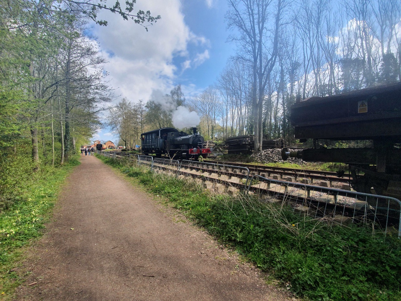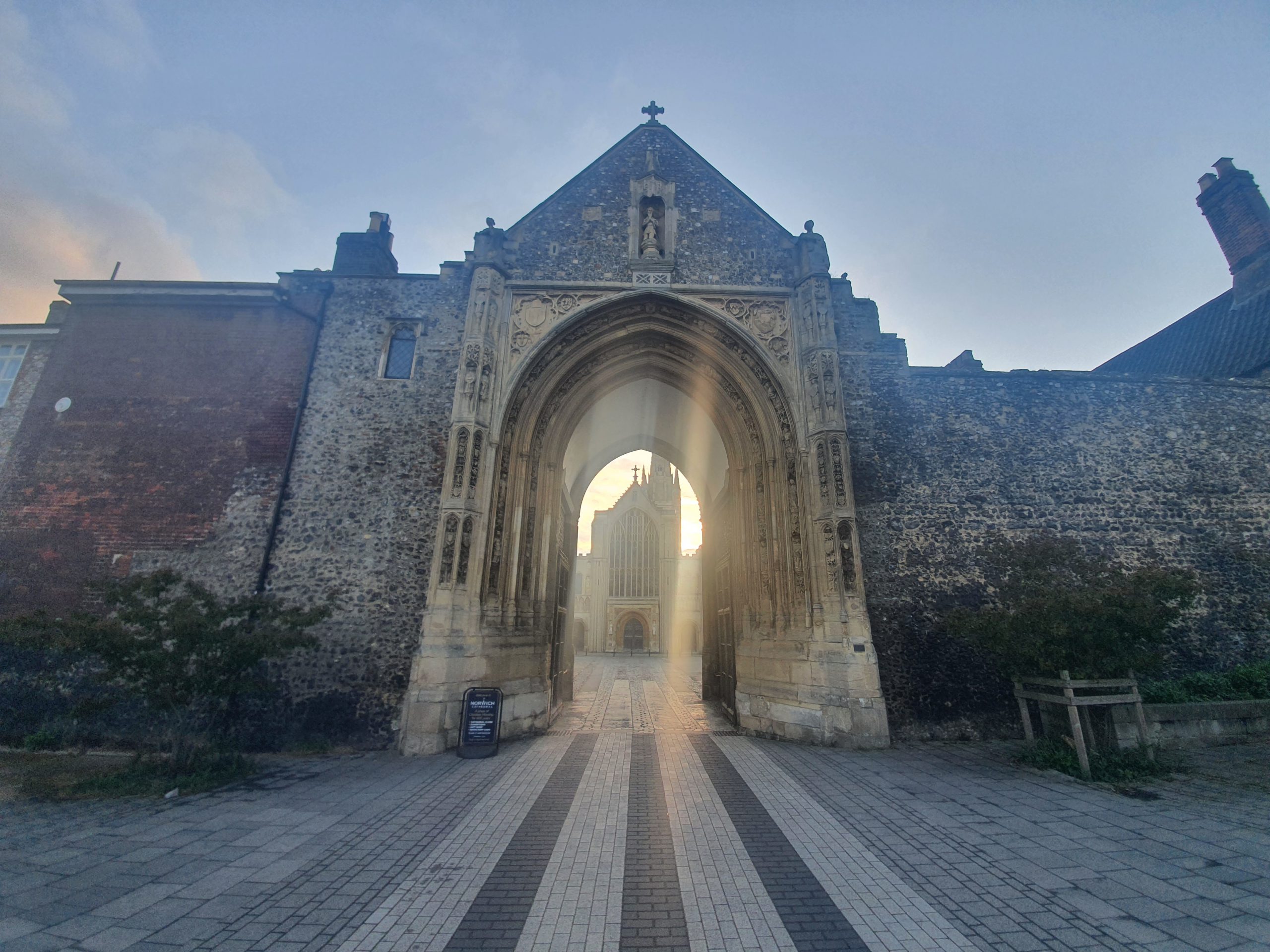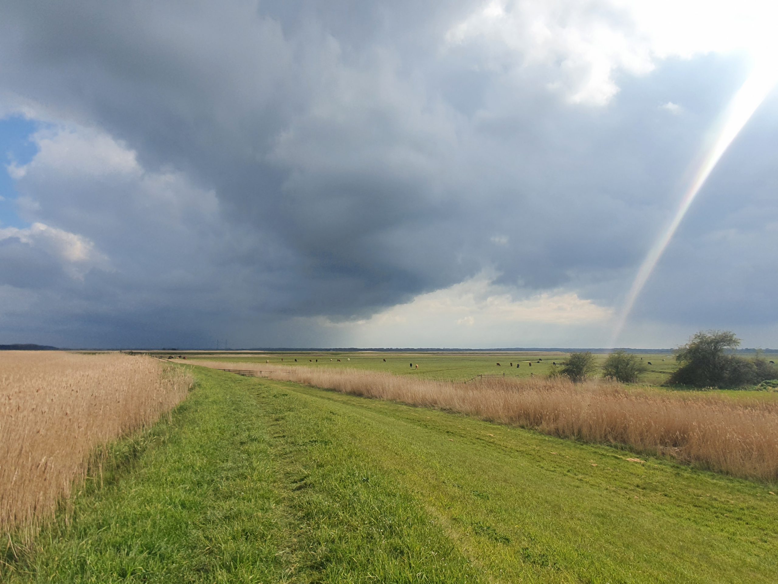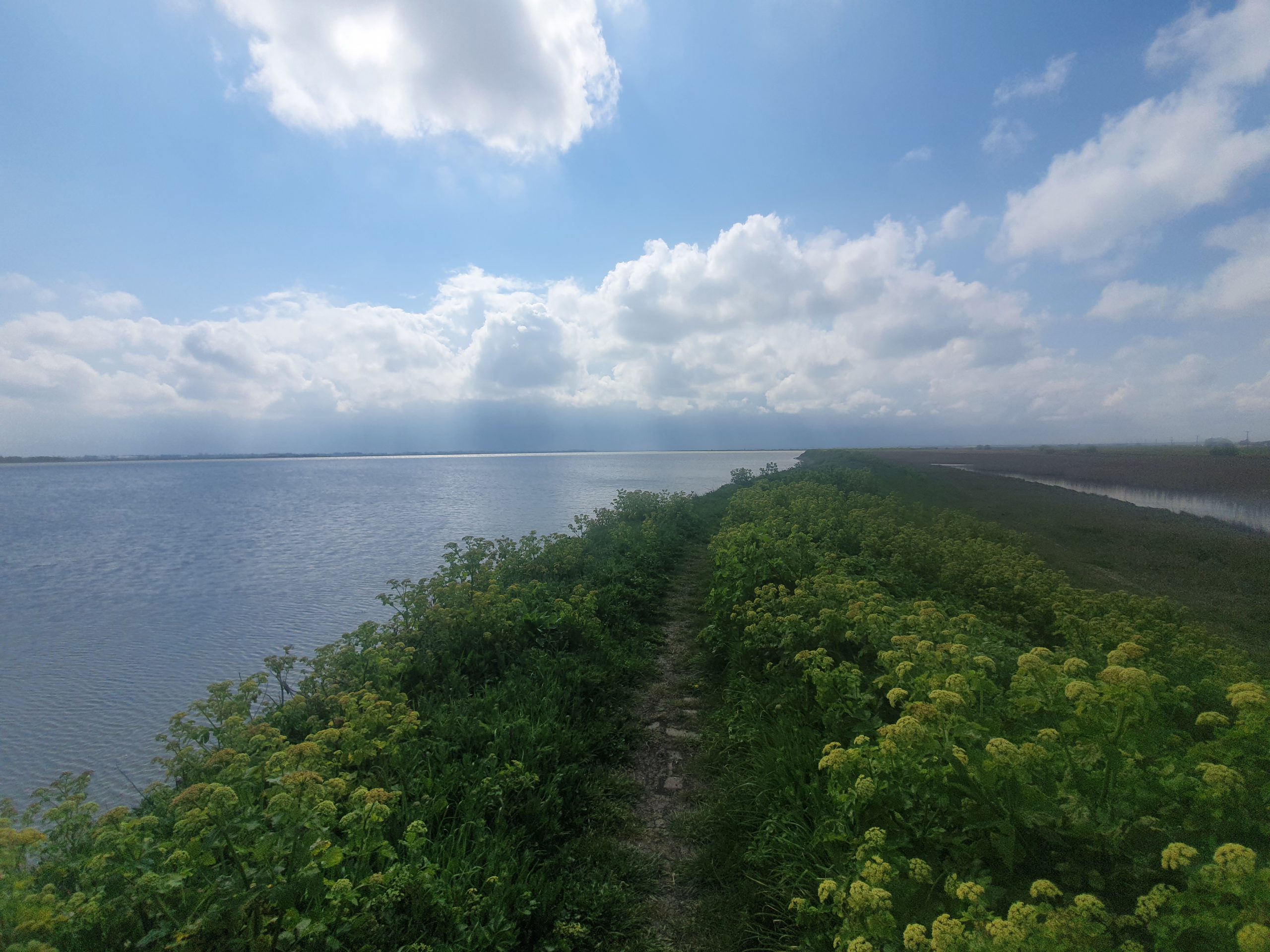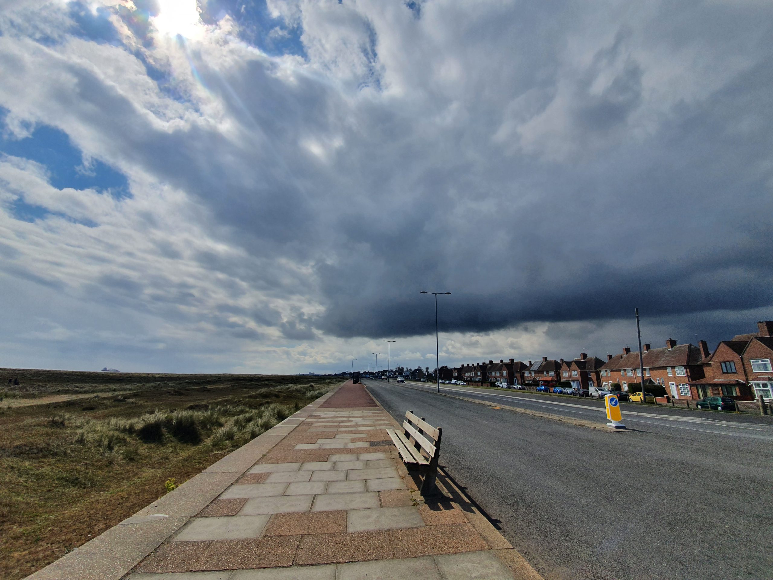

This is the story of my completing the LDWA 100, something which I didn’t actually always think I’d be able to do. Unlike the previous training walks, I’m going to tell this story in a different way, which is just my feelings about each section of the walk. I usually take hundreds of photos during walks, but when walking 100 miles there are different priorities. My friend Nathan also walked with me for the first 60 miles, but these are my experiences rather than his. These posts are more introspective than usual and there will be an index to these ten ‘stories’ on this page.


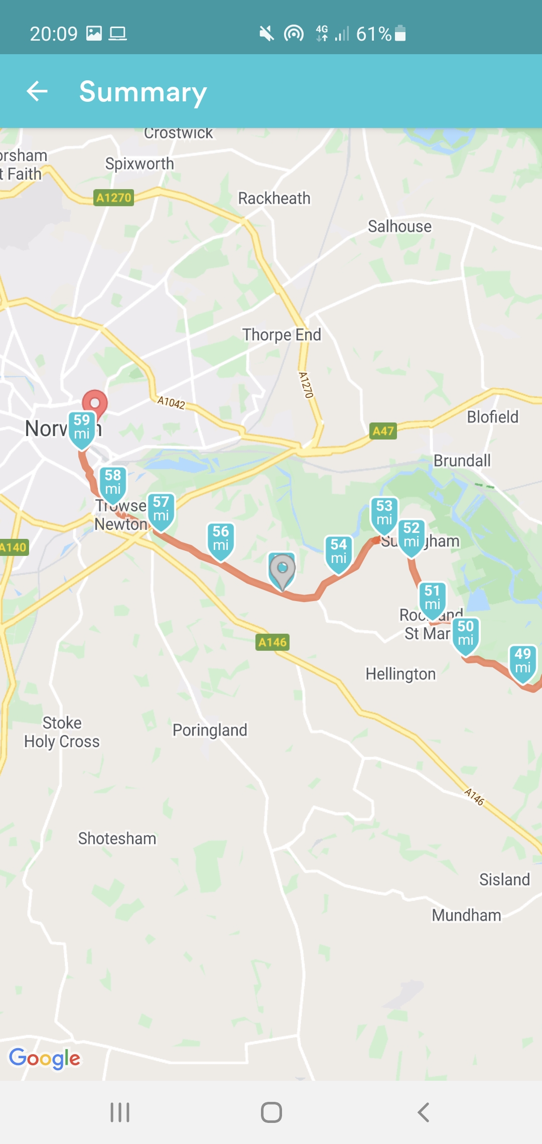
This section of the route took me from Reepham to Aylsham and then back a little way along the same path, as Aylsham is located at the end of the Marriott’s Way. As I mentioned in the last section of this riveting adventure (or seemingly endless drivel, depending on your point of view) I had come up with one of my excellent plans, listen to music for five miles and then take Pro Plus and just hopefully get an energy burst to take me to 90 miles.
Richard walked with me for a short way from Reepham, but he was manning the support vehicle, so that was just for a relatively short stretch as he needed to acquire Pro Plus and reposition his car. At that point, I put music on and somehow managed to enter some sort of trance as I just walked and walked. I realised that I was going at four miles per hour, which is a fast walking pace, and I had the slightly embarrassing situation at one point when I overtook a jogger. I pondered whether this was sensible, and then decided that I just had to eat the miles up and there was little point trying to maintain a slower pace this far into the walk. I also worried that someone would think I’d pinched a bike for this section if I’m being honest (although my friends know that I walk faster than I cycle, so I’d hardly do that).
I messaged the support team and told them to scrap the 85 mile checkpoint as I intended to just march into Aylsham that I hoped would take me to around 88 miles, which is where Richard was going to be located with the car. I arrived into Aylsham a little short of that estimate, at 87 miles, but the time it took me to cover the seven miles was fast and I felt in excellent shape. To not have any pain, stiffness or issues at that stage of the walk seemed like a miracle and I didn’t want to question that.
At 87 miles, I sat in Richard’s car for a while, and he made me some cheap tea (not one of my decadent ones). It did the job though, and I also ate more than I felt I wanted, focusing on getting enough sugar and salt. I lingered at this stop, as it felt right, so I think I was in the car for around 25 minutes, which was a little bit of a luxury compared to previous stops. But, I was now entirely confident I’d finish, confident I’d finish before it got dark and confident I wouldn’t be injured.
I knew that the last ten miles would be challenging, so Richard walked back with me two miles along the path, to take me to 89 miles, before he had to go back and collect his car. We did a much slower pace than I had been doing, as I knew that the last section would now just be a steady and reasonable pace, not a charging off pace. There was a slight concern about power on my phone, as my charger had gone temporarily missing (it was later found safely), but Richard’s charger did the job (well, sort of, I think he got it off the back of a lorry, but I didn’t say anything). That meant at 90 miles I was approaching Cawston, and I knew that I had friends from the LDWA who were going to walk the last stretch with me.
As for my thoughts, I think I had stopped questioning why I was doing the event at this stage, as it didn’t much matter. As I was 90% in, I just wanted to carry on and finish, although I was considerably annoyed to discover Dave Morgan had rushed around with a quicker time. I reminded myself that he was injured and I wasn’t, which made me feel better, and is a reminder that these amateurs rush off without taking as much care as I had done. I shall issue him with some of my top tips for next year (mainly learn to keep it long and flat, not long and ridiculously hilly).