St. Cuthbert’s Way – Resources and Index
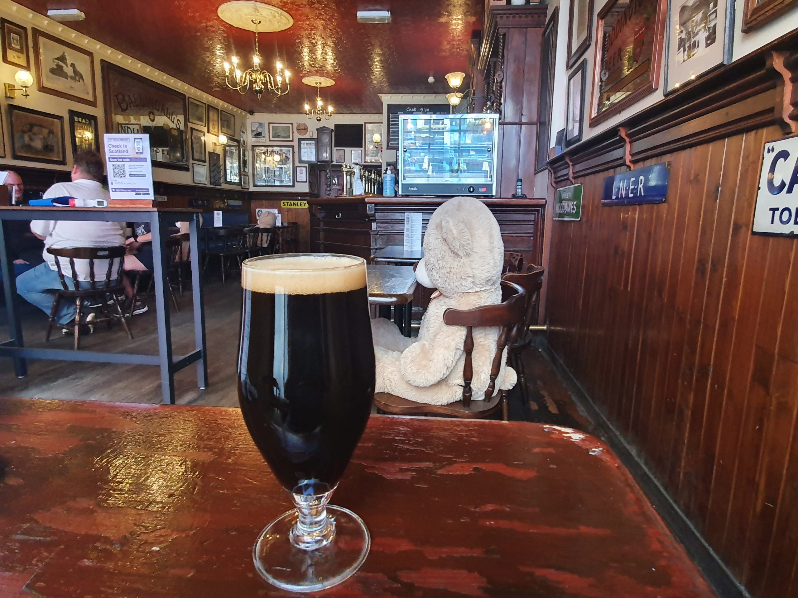
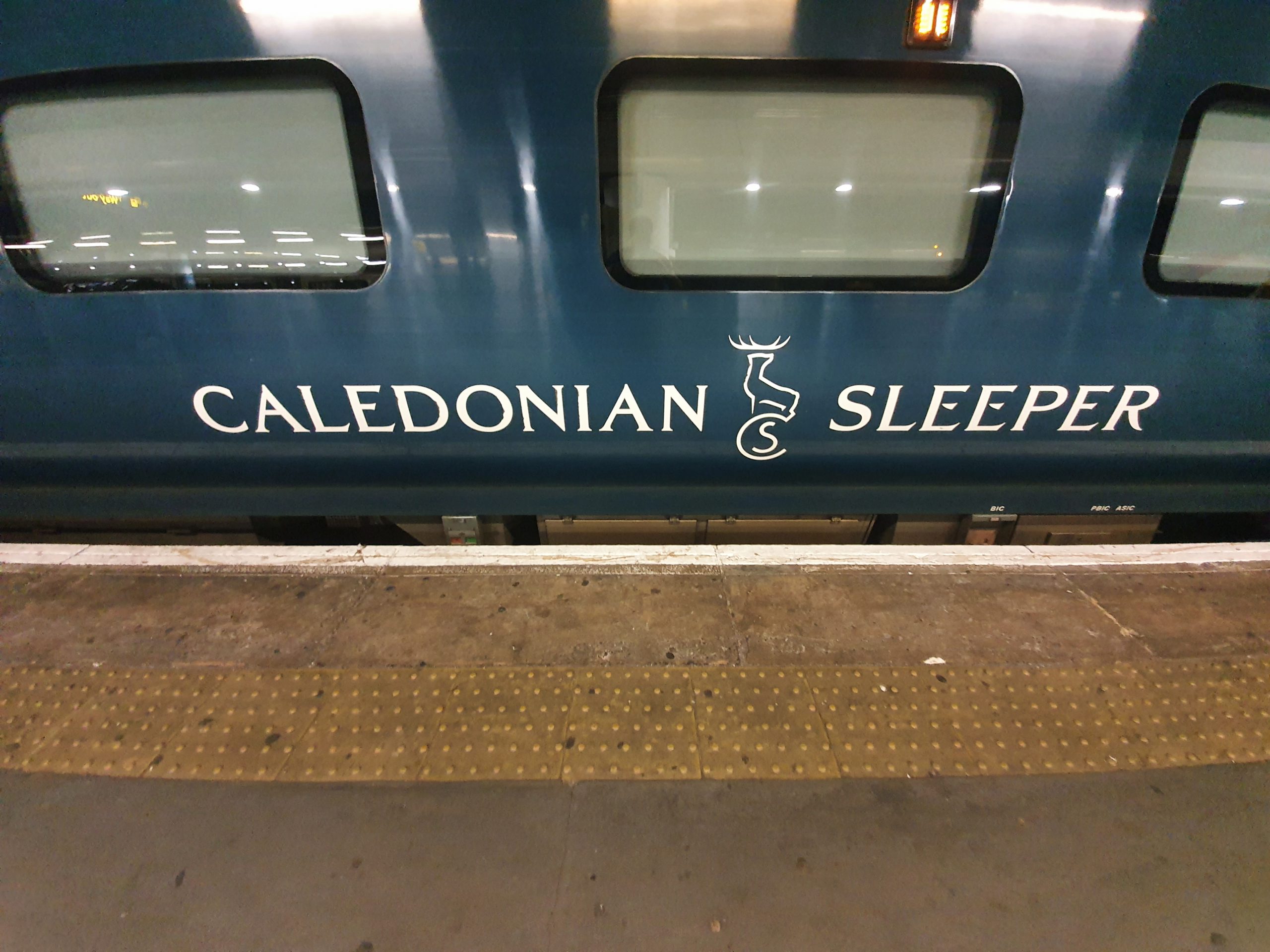
As day zero of this week of walking St. Cuthbert’s Way continues, we approached the afternoon. Sarah and Andy were in Melrose having alone time, as I think the hotel staff had said they could do what they wanted in their room. I didn’t ask. Gordon was now furious at the garage music being played in Carriage B of the train, Steve was listening to music in the quiet coach and Susanna was phoning her daughter in Carriage B. I was quite content as I had a beer.

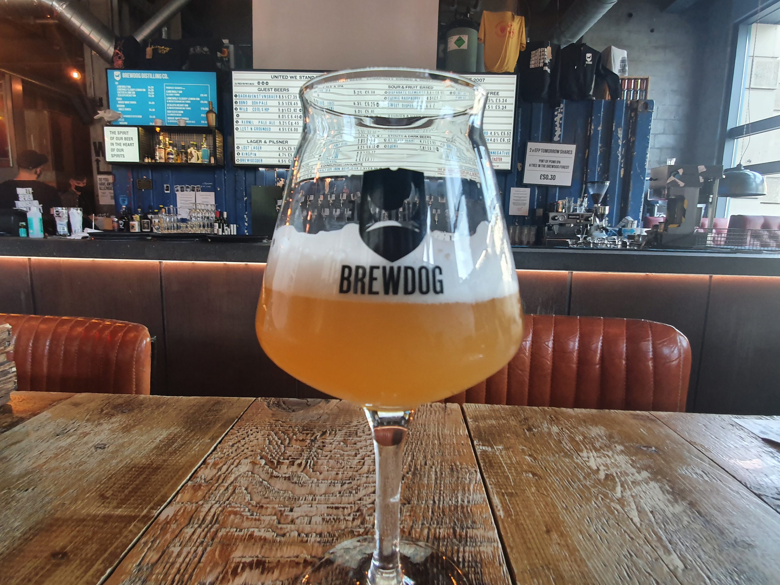
I was leaving Galashiels having popped into the Wetherspoons for the aforementioned beer, ready to get the train into Tweedbank. There’s some interesting stuff about this line, it’s a reinstated railway service now known as the Border Railway, but it was formerly known as the Waverley Line. The line was shut in 1969, but reopened again in 2015, although only as far as Tweedbank. It was never extended to Melrose, which seems a bizarre decision to me given that it’s a tourist town of some importance (and also as that’s where I wanted to go). But, at least something has opened here and what a lovely service it is.

And here’s Tweedbank railway station, the end of the line.

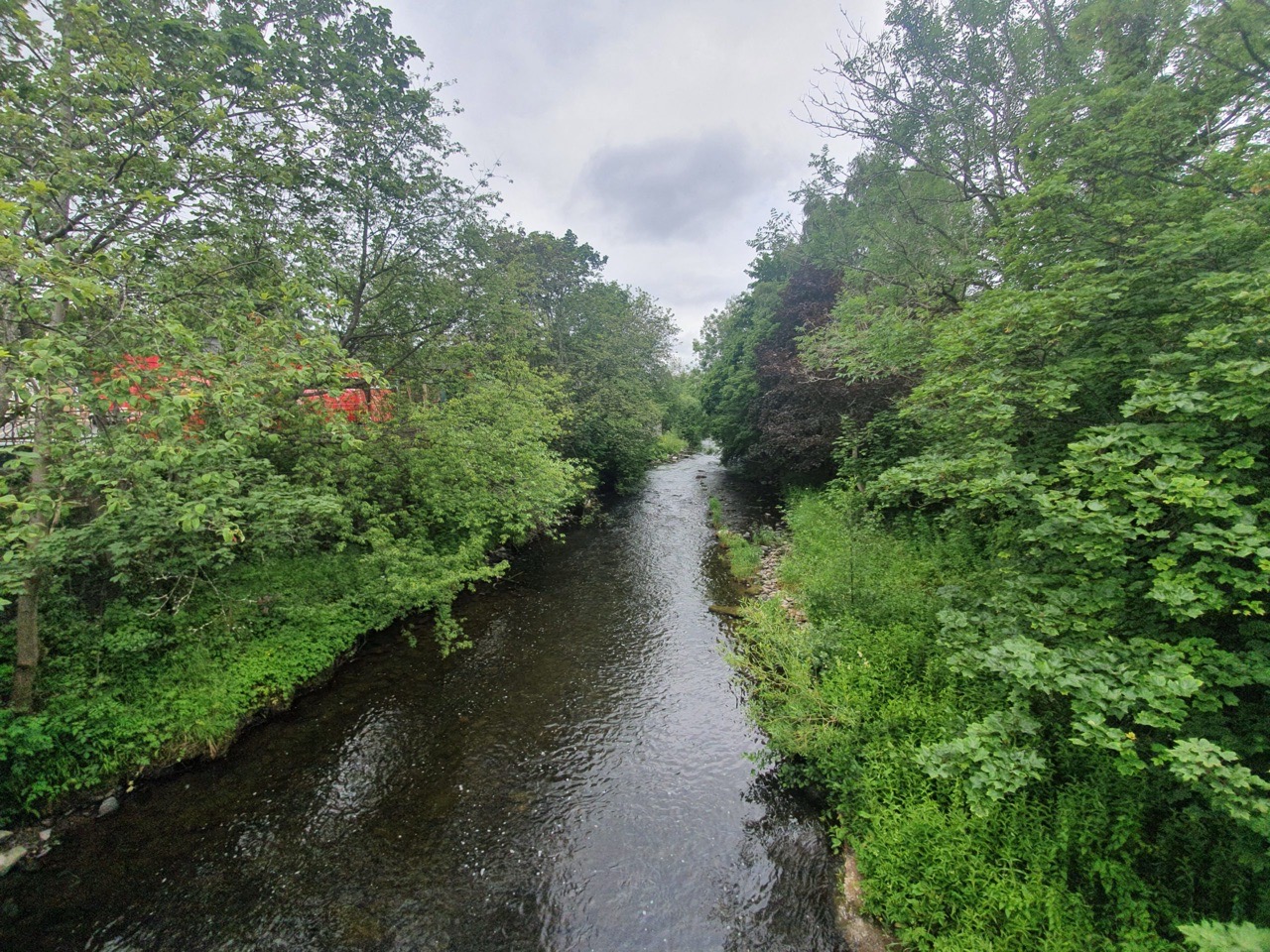
I decided to walk along the link path which connects Tweedbank to Melrose, which is a clearly marked river path by the Tweed which went through some scenic countryside.


The photos above are all of the walk into Melrose, really quite a lovely little meander and just over 1.5 miles in length.

I checked into my little room at Burt’s Hotel in Melrose, before heading out for a little explore around this historic market town. More on the hotel later as it’s also where our night’s meal was, as well as where Gordon came out with some quotes that I’ll write about later. As an aside, it’s now 23:00 in Melrose and there’s certainly a vibrant nightlife that I can hear from the hotel window. Indeed it’s very vibrant indeed, and I’m not entirely sure I mean that in a positive manner. Anyway, I like the sound of nightlife, so it won’t disturb or annoy me.


These photos were taken at Priorwood Garden, which is now a National Trust for Scotland site (there was meant to be an admission charge, but they don’t seem to be collecting it and I’m a member of the National Trust anyway). They note that “the gardens have been part of the abbey estate, a kitchen garden for a grand house and a valuable market garden during the Second World War”. The house was lived in by James Curie, an archaeologist who also oversaw the excavations of the nearby Roman fort of Trimontium.

Melrose Abbey is closed inside at the moment, but is a former Cistercian monastery which was the main religious house in Scotland until the Dissolution of the Monasteries. A lead container has been found which is said to be the embalmed heart of Robert the Bruce and numerous Scottish Kings are buried here.

A sign of the times……


This is Harmony Garden, also run by the National Trust for Scotland, with the house here having been constructed by Robert Waugh in 1807.


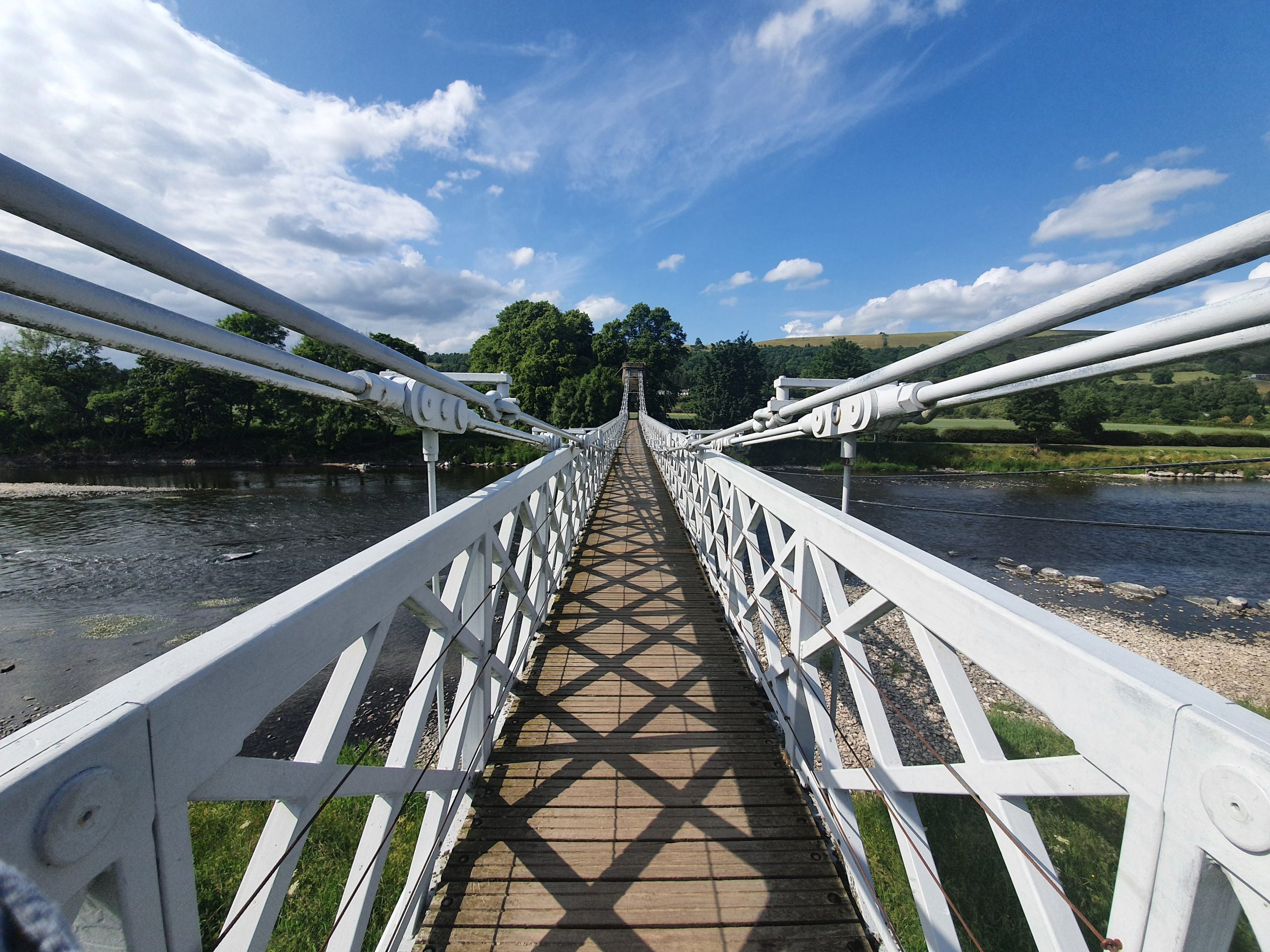
I then walked down to the River Tweed and had a look at the listed structure that is the Melrose Chain Bridge. This was opened on 26 October 1826 by Redpath Brown & Co of Edinburgh and was restored in 1992. It also has the little problem at the moment that social distancing means that if anyone is on the bridge, then you have to wait for them to finish crossing. There was an elderly man who was walking slowly with a stick (a local I assume, not Gordon) which caused a little bit of a traffic jam at one end, but everyone remained friendly and patient.

This is an interesting little structure, although not much is visible under that scaffolding. It’s an eighteenth century doocot (or dovecote) and over the years it hasn’t been well cared for, with some rickety old iron structures being placed against it. These are being fixed and the building restored under the supervision of Historic Scotland.

But, it was at this point as I got back to the hotel that the main event started to unfold. Steve, Gordon, Susanna and Susanna’s baggage had reached Tweedbank. Finally, the six of us were nearly in one place and there had been no delays with the rail service. But then there was the challenge of meeting up…..