St. Cuthbert’s Way – Resources and Index
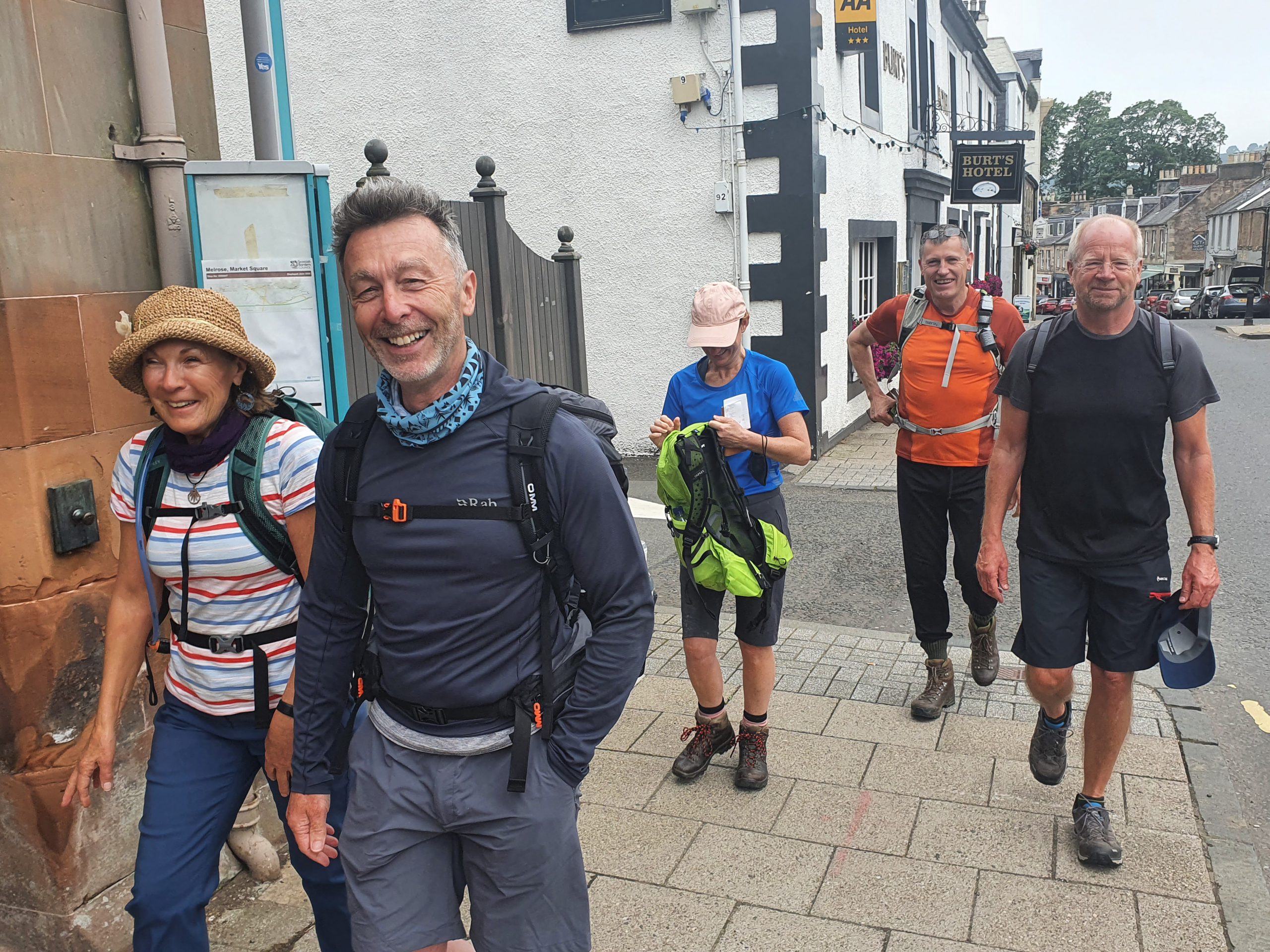
And here we are on day two of our little walking adventure, along the pilgrimage route of St.Cuthbert’s Way. Today we were walking the thirteen mile stretch from Jedburgh to Kirk Yetholm.

Steve, Gordon and I were in the same location which is quite a modern building with a very over-stated breakfast room. It’s a bold theme, but it did perhaps suit Gordon quite well. I thought he looked like the lord of the manor sitting there.

It was another substantial breakfast, probably more than I needed, but still very welcome. All nicely cooked and we were making good time due to the decision to get a taxi.

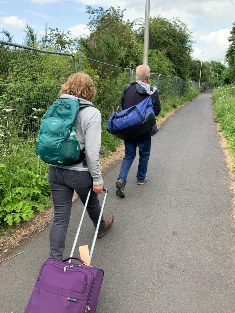
We had all agreed to meet outside the B&Bs to get the taxi that Susanna had kindly booked for us. Well, and I’ve been given very careful instructions on how to tell this story as there is some dispute about it. Susanna says it’s a more nuanced story, but in essence, Susanna had managed not to book us a taxi. Gordon questioned her sanity and she used a very rude word indeed back to him (she used it twice). I, of course, stayed out of this debacle. And, a debacle it certainly was, but, fortunately, Susanna’s B&B owner managed to save the day and a taxi was swiftly despatched to save her blushes.

And here’s the taxi safely dropping us off at the start of the walk. The reason for this is that St. Cuthbert’s Way is three miles away from where we were staying in Jedburgh and no-one else could be bothered to walk. And if they weren’t walking, neither was I. The driver was pleasant, although there was some tension in the car when Steve said “and this is exactly why Susanna doesn’t organise trips”.
When we were having breakfast it was pouring with rain, so I spent some time trying to waterproof my bag. I also ceased to be self-supported, as Gordon kindly offered to let me put my computer power lead in his bag that the sherpas move on for him. I was very grateful for that, so I’m being extra kind about him on this post. It didn’t actually rain much during the day, or at least, not until we were nearly at our accommodation.

The start of day two on the trial itself. Susanna was a bit sensitive about the taxi situation at this point (we know this because she told us that she was annoyed), but Gordon reassured her that she mustn’t blame herself. He can be very kind can Gordon, very inclusive.

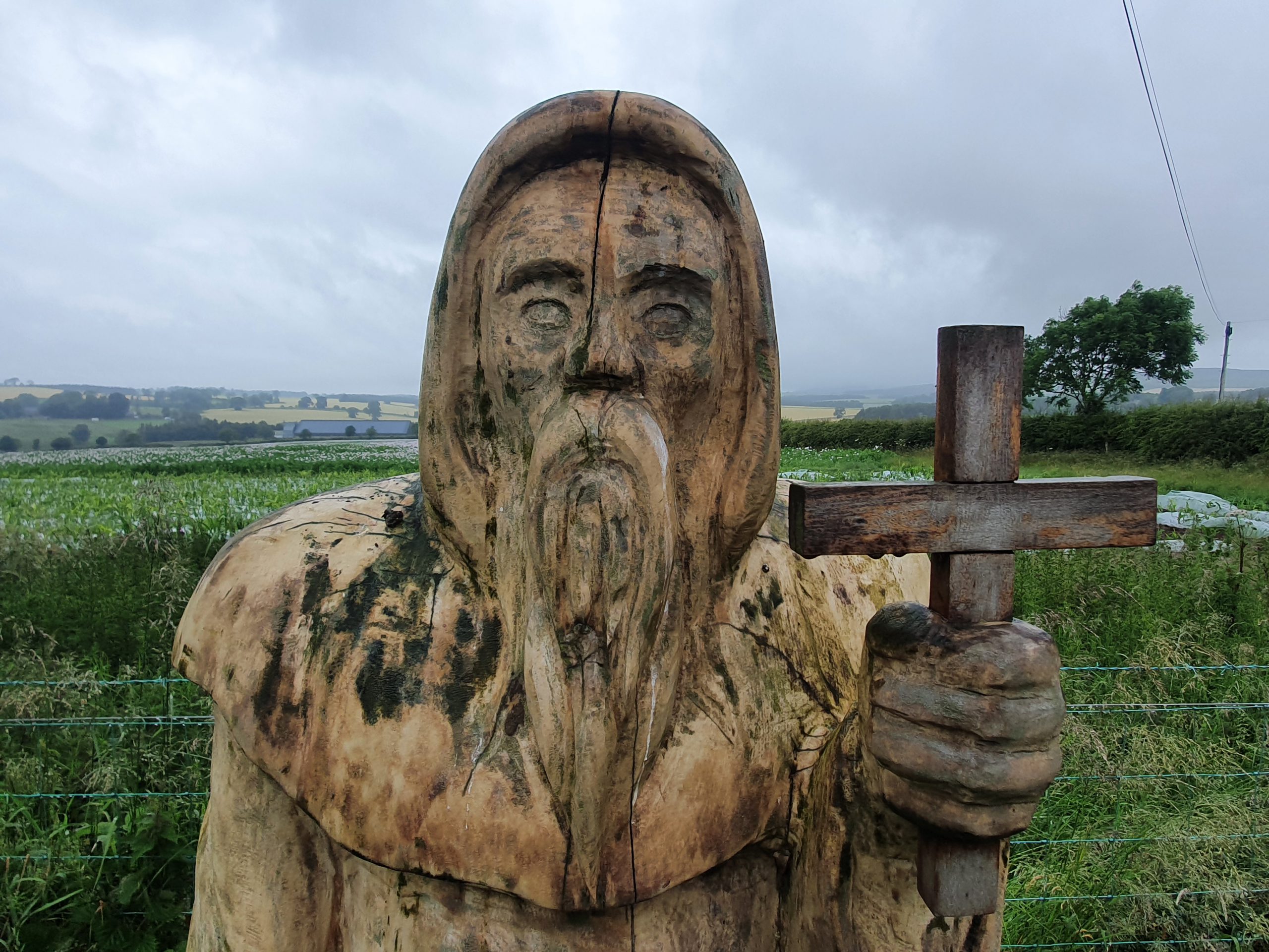
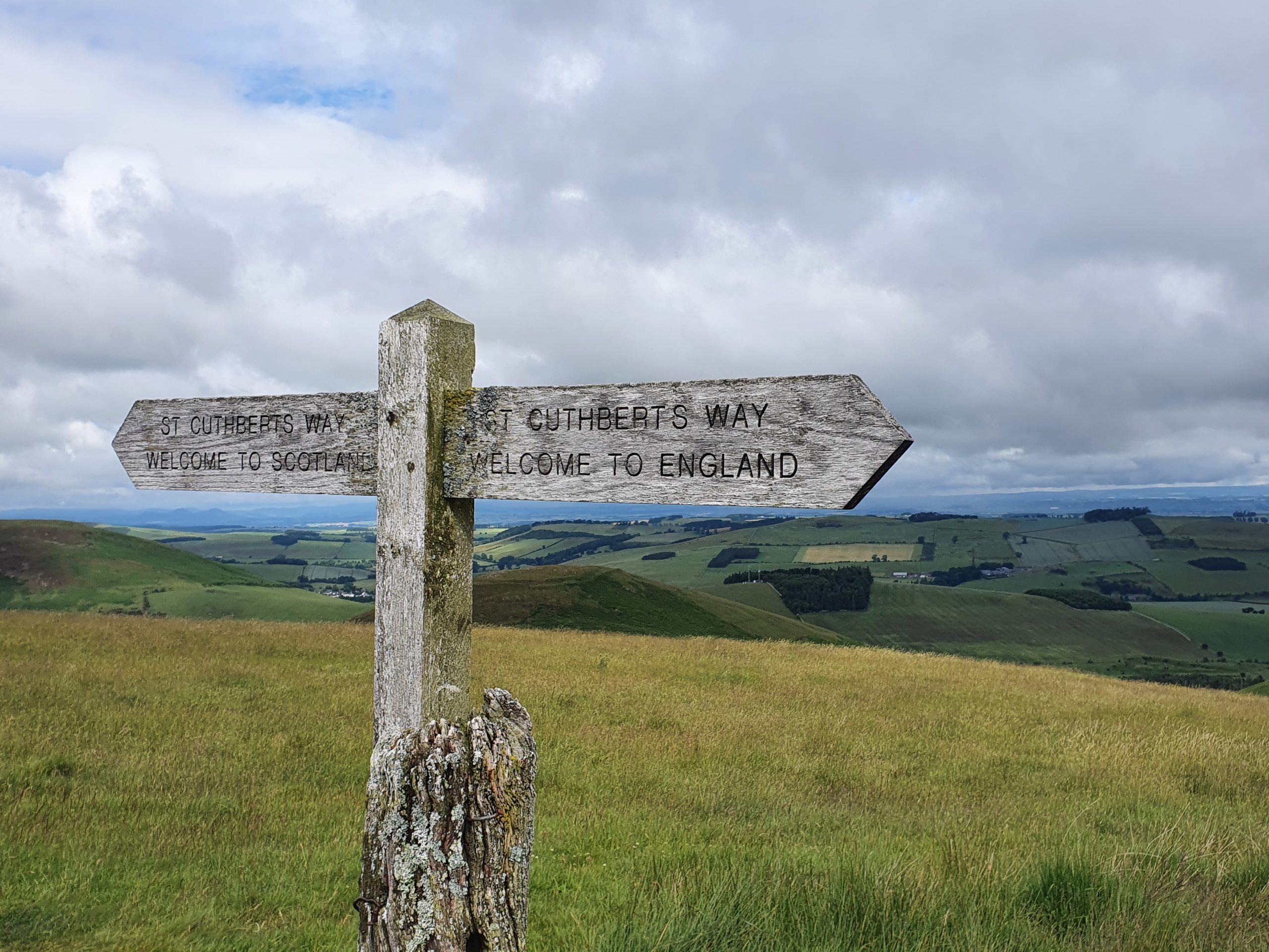
Signage for the Borders Abbeys Way and St. Cuthbert’s Way. The Borders Abbeys Way is a circular 65 mile long distance path which takes in four twelfth century abbeys and numerous border towns. It sounds a rather lovely path and although it goes from Melrose to Jedburgh, it’s along a different route to the one we were walking. A quick advert for the LDWA page for this long distance trail….

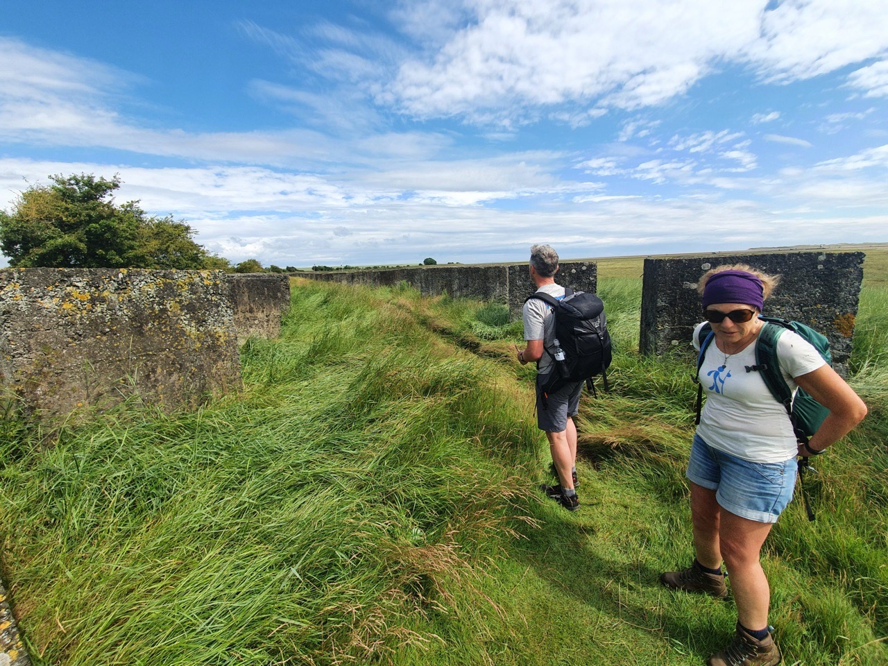
This is a continuation of Dere Street, the former Roman road, that we had been walking on the day before.

At this point we turned off for a walk in a forest area. I love these woodland trails, usually flat and easy to walk along. Gordon made some noises when he nearly slipped over, but we carefully looked after him and his needs. We considered the taxi issue over now, as it’s ridiculous to go on about it, but it was at this point that when Susanna wasn’t looking we agreed not to let her book the taxi again this week.

A rather pointless gate since it was easy to walk around it…..

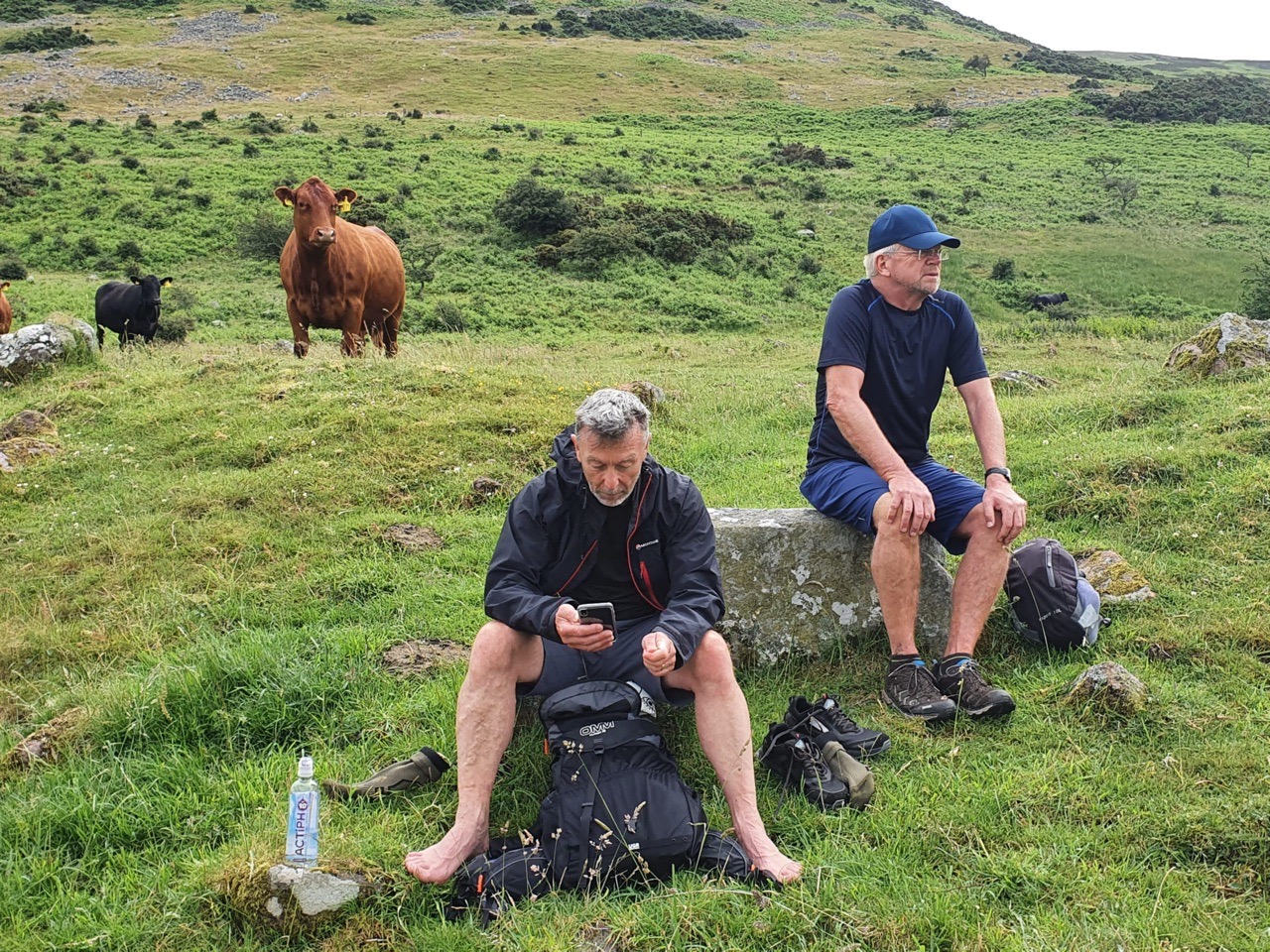
Then we went through a field of cows, which were actually quite tame looking (even the one with the huge horns). Gordon told Sarah not to do one of her screechy laughs, which I thought was very rude, but he said that he was worried the cows might charge. We noticed at this point that Susanna was right at the back, but we agreed that it was best for her to tackle the cows alone rather than us scaring them by going back.

More lovely forest walk and this was a really pleasant meander, keeping me nice and cool. There were other more exposed areas where I was too hot, as it’s a bit humid at the moment.

Susanna found herself a stick and I thought that she looked like Boudicca strolling through the fields on a mission.

At this point we met a great guy called Craig, who we also walked with a bit later on during the day. He’s doing the same walk as we are, but it’s unsupported and he’s camping whilst carrying everything. He’s an interesting person who I thought was very brave, since he told me that his bag weighted 18kgs. I told him that I walked the 100 a few weeks ago, as I think there are still some people who don’t know, and he agreed that I was very brave too.

Cessford Castle, which was originally constructed in around 1450 under the supervision of Andrew Ker. It was built as a substantial structure with walls that were up to four metres thick in places, but it was also attacked on numerous occasions given its location near to the English and Scottish borders. It was repaired on several occasions, but it was eventually given up on in the early seventeenth century as it was too hard to defend.

Nothing stops you going inside to the inner courtyard of the castle structure, but there are signs saying it’s dangerous and I didn’t want a big bit of stone to fall on my head. I limited myself to just peering in and taking a photograph of the former entrance into the castle. It’s an interesting quirk of history that there isn’t a larger settlement here today that was built up when the castle was in use, but many of the properties were demolished in the eighteenth and nineteenth centuries.

We had been hearing from Gordon that his little toe was a bit sore, so we suggested he had a little look at it. I heard lots of painful remarks as I think that his toe was slightly red, but he seemed to be very brave about his situation (that’s what he claimed anyway). He then managed to break a bit of the castle, but any complaints about that need to be sent to Steve.

And then it was back onto the road and the path followed this all the way into the village of Morebattle. As an aside, this village doesn’t take its name from the battles that took place nearby, but from an old word for ‘dwelling place by the lake’. Near to this village is the ‘lost loch’ of Linton Loch which was drained in the eighteenth century.

I have no idea what’s in this field, but it was rather colourful.


This was the quite quirky community cafe in Morebattle and I’ll write more about this in another post. But, Andy kindly bought everyone a drink, other than Gordon who shunned his generosity and bought his own. The wealthy can do that I suppose. The staff in the community cafe were friendly and helpful, although likely annoyed by Gordon who sent his drink back as “there aren’t enough sprinkles on top”. We didn’t say anything of course. Sarah’s order was delayed as she was “behind a man ordering a three course meal”, which transpired to be Gordon. I would like to point out here that Gordon bought me a bottle of water, so I was in a very good mood with him. The toilet situation here is also interesting, but more on that later.

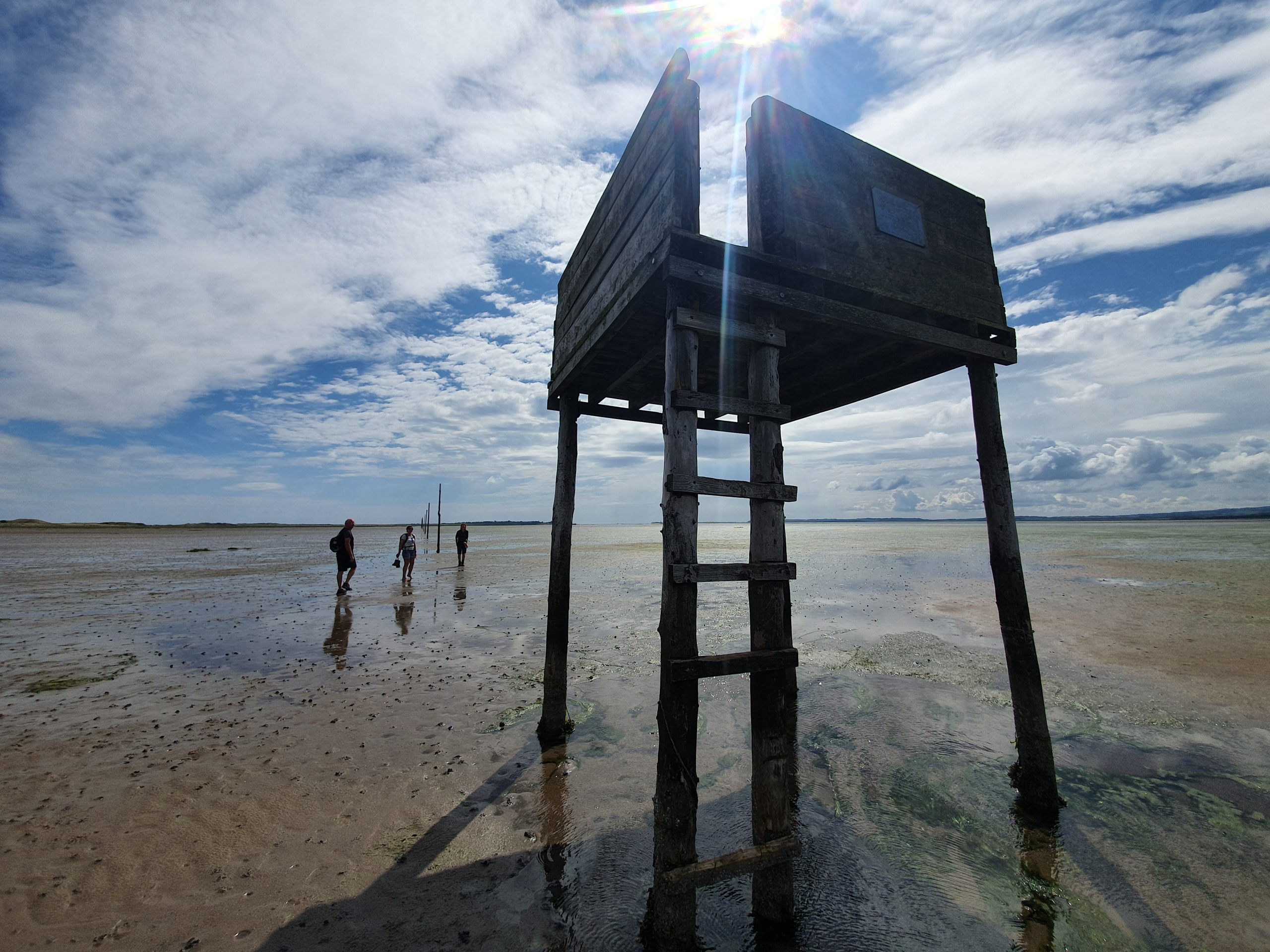
Fortunately, we didn’t have to walk across this ford.

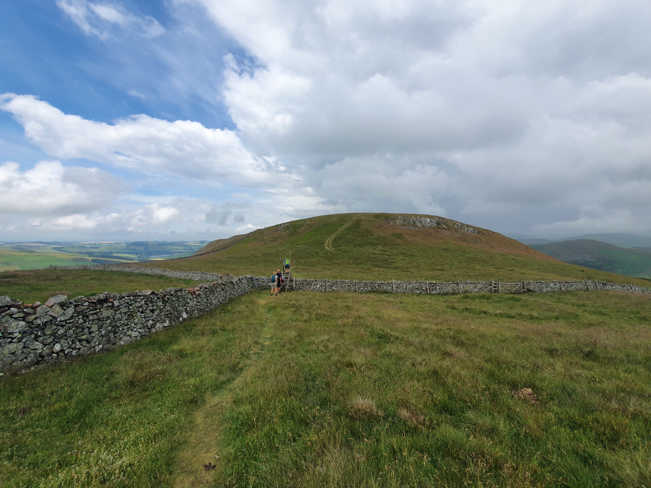
We then started our ascent into the Cheviots which are uplands (although they were mountains as far as I was concerned) which straddle the old Anglo-Scottish border. I didn’t enjoy this stretch of path, it was full of bloody insects (these were a bit more of a problem today) and the grass was a little high in places. On the bright side, we didn’t see any snakes, although I know that there are adders in the area (I looked it up).

That’s Steve’s bag and it’s not really evident from the photo, but he had around 20 flies on his bag. Gordon had lathered himself in something he got from the Avon company, so the insects didn’t bother him as much.


Some photos of our climb and it felt quite remote. We started to see more walkers than we’d seen on the previous day, not surprising given the beautiful walking terrain around here.

Here’s our hero Gordon having a little sit down. Susanna was a trooper as always, steadily battling her way up the hill, we were all very impressed. I have to say that everyone was really brave, although we had to slow Sarah down as she often flew by and rushed off to the front.


There were some beautiful views during the walk.

Then we reached Wideopen Hill, which is sort of the mid-point of the walk and it’s also the highest point on St. Cuthbert’s Way standing at 368 metres. This is just a little lower than Mount Everest, or at least that’s what it felt like getting up to the damn thing.


Some more photos of the scenery as it felt wrong not to include them. It was at this stage that Andy said that I was at the top of his bravery list this week for completing the 100 (have I mentioned that?) and he mentioned that Gordon was top of the whingeing list. This also put Andy right at the top of my list of favourite people this weeks, so he’ll be winning numerous awards. Some of the others muttered about this, but I ignored them, they were just jealous.

We then dropped down into Town Yetholm, which is where our accommodation for the evening was located. We heard thunder at this point and that’s not really ideal, but the rain didn’t start to pour down until we were just a couple of minutes from our accommodation.
We were also annoyed at a lady who came up to us and seemed to be a little rude, so we didn’t really engage as the thunder and rain was just starting and it didn’t seem an ideal time for a full-length conversation. She seemed quite standoffish and it wasn’t quite clear why she wanted to talk to us, unless she wanted an argument, but she said that she was local. Sarah and Susanna said that she said that Gordon had annoyed her, but on this, I’m going to stand by Gordon, he was a paragon of virtue. Otherwise, the locals are all really quite lovely. BTW, technically Gordon is quite annoying, but she didn’t know that from the conversation, so she annoyed me.

We checked into the Plough and there was a friendly welcome. They took the breakfast order after check-in and we had to listen to Gordon trying to buy another egg again. We didn’t say anything, it felt inappropriate to. Above is a photo of my rather lovely room, with Gordon and Steve staying in the same hotel and they had equally plush rooms. Sarah said that she had a balcony at her hotel, which I was a little jealous of. Although since it’s cold and raining, I’m not sure that I would have gone out onto a balcony if I did have one. Anyway, I digress.

We walked into the neighbouring village of Kirk Yetholm for our evening meal. We walk into this again on the trail tomorrow as it forms part of St Cuthbert’s Way.

We were eating at the Border Hotel, which is best known for being the end point of the Pennine Way. We were at the start point of this a few weeks ago, in Edale. That means we’ve managed to visit the two pubs at either ends of the walk, although just haven’t bothered to do the actual Pennine Way walk. But I saw the videos of Dave Morgan doing it and it looked very moist and hilly.

Gordon then caused a scene in the pub by asking for green beans, which aren’t on the menu. He’s a man who needs vegetables and so he decided to order a dish without vegetables when they told him they had no green beans (we think he was trying to teach the pub a lesson). He’s very picky, but we didn’t say anything….

The table decoration, which I’m not sure I entirely like. Anyway, the pub must like it and that’s the main thing. During the conversation, Gordon revealed that “I don’t really have any unlucky pants” which was a relief to everyone. It was also commented that Gordon might win the “creep of the week” award with his comments about what Sarah was wearing. But it’s OK, he won’t read this blog for ages, so it’s fine for me to write that.

The pub had a few real ales on, although nothing overly exciting for my taste, but at least there was a choice. I noted that they’re using Good Beer Guide signage, but they’re no longer listed in the latest book. I like that anyone who completes the Pennine Way gets a free half pint of beer, which is a nice gesture. I bought half a pint of the Pennine Walker from Hadrian Border Brewery (I think, there was some confusion as to what it actually was) and the Trig Point from Cheviot Brewery. I preferred the latter and it’s sourced locally, although neither beer hugely engaged me. But they were refreshing and well-kept, so went well with the meal. Along with the eight gallons of tap water I must have gone through.

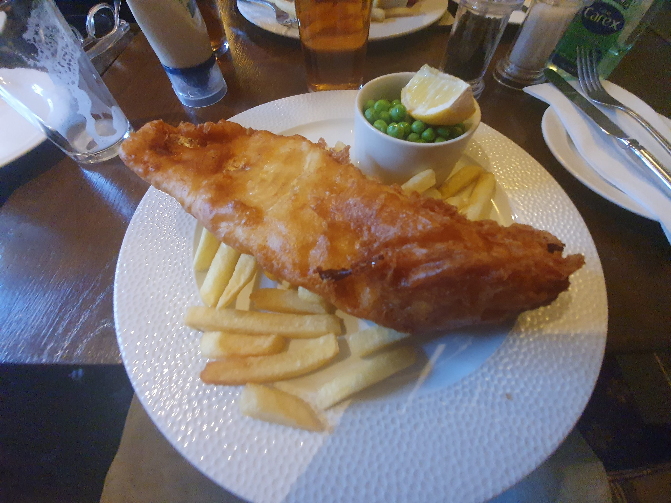
All day I had fancied pie at the pub, but the only one they had was pork, cider and mustard and that didn’t appeal, so I went with the fish and chips. Reasonably priced, the fish itself was lovely, although the batter was too doughy if I’m being a little bit critical (which I always am to be fair). More importantly, to the right of the photo is Gordon’s plate without his vegetables. The service was always polite, pro-active and personable though, so it was a pleasant and comfortable place to be. They also warned us that there would be a delay with our food as another couple of large parties had just arrived (we got behind them because Gordon spent twenty minutes asking about bloody vegetables) but ultimately the delay was minimal.

We then walked back to our accommodation, all told another very lovely day. It’s nice to have a couple of hours to get this blog written up, which can be something of a burden to write, but there has to be an official record of this week otherwise the truth might be lost to history. Tomorrow we’re off to Wooler which is no further distance than today, but it might be just that bit hillier. That doesn’t overly excite me to be fair….