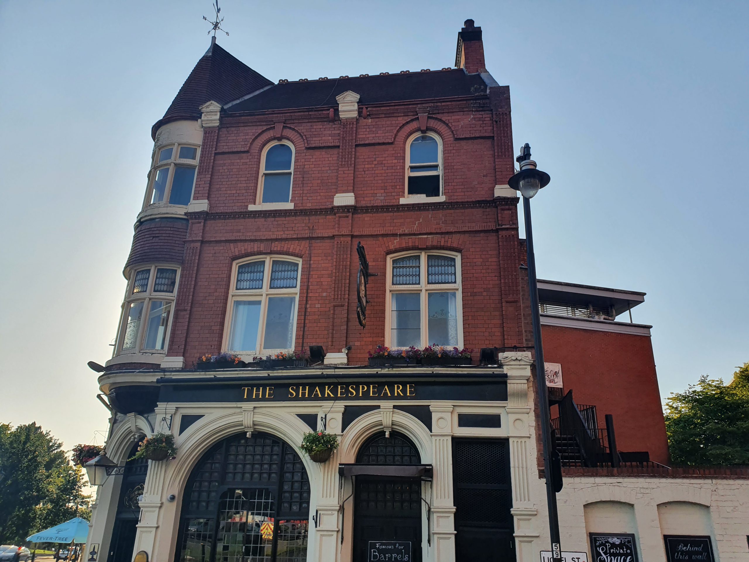
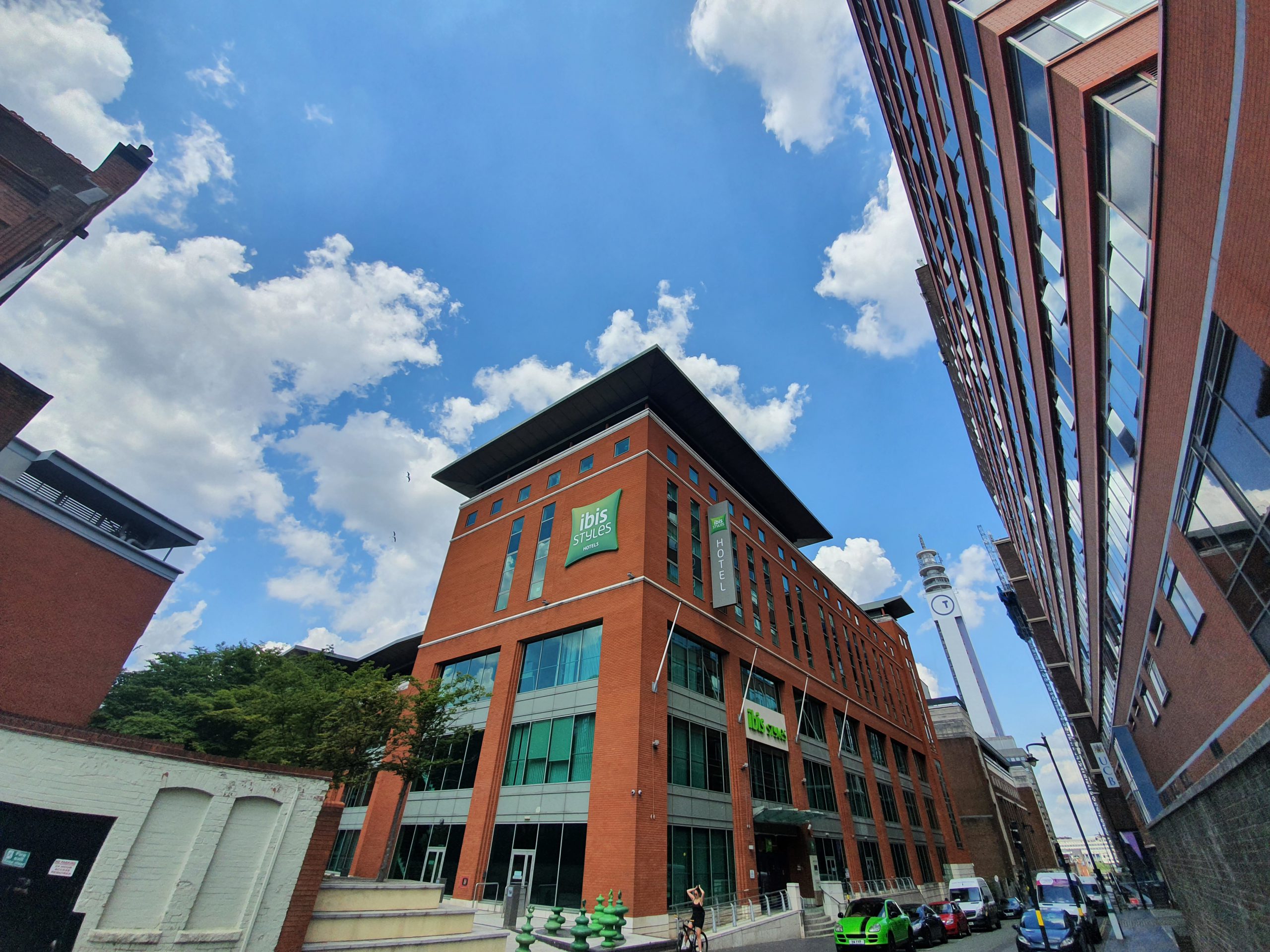
I was a little nervous of visiting this hotel, given how much I had to complain about in the terrible Ibis Styles Seven Kings hotel in London over the weekend. Incidentally, the promised communication from the general manager from there unsurprisingly didn’t happen, but that’s no surprise. Anyway, moving on from that disaster, I was hoping not to find another problem hotel. There comes a point where it would become clear that the problem was me, not the hotel.
As a TLDR, this hotel in Birmingham is much better. The welcome at reception was authentic, smooth and efficient, with the welcome drink proffered without my asking for it. Lots of information about the hotel and the staff member was conversational, so my first impressions were positive.

The rooms here all appear to be the same size, but reception mistakenly gave me a room they’d made up for a family.

I fixed that. The room has some faults, but it’s a few years old and I suspect it’ll get renovated in the next few years. The windows don’t open, which I don’t like, but there are vents which mitigate the problem somewhat. There aren’t power points by the bed, but that’s a legacy of when the hotel was designed. It was otherwise clean and it has a desk, which I consider to be an essential in a hotel room (unlike the designers of the Ibis Styles Seven Kings, which I feel I might keep mentioning).
The main light was flickering, but I reported that they had a bit of a broken bulb to reception and they had it fixed by the time I came back. The air conditioning is also central, with no way for the customer to cool or heat the room, which is absolutely not ideal either, but the temperature has been OK for me.

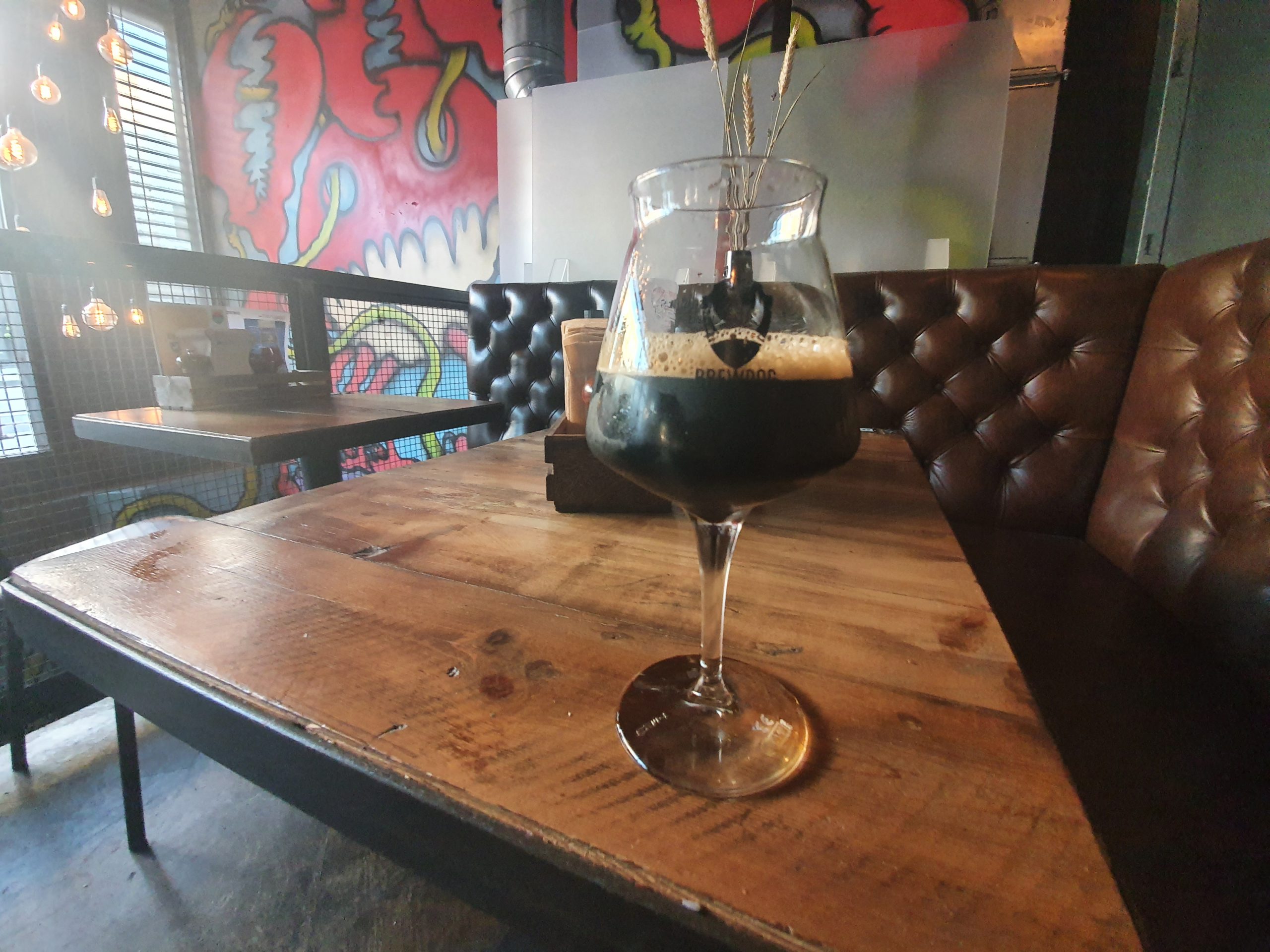
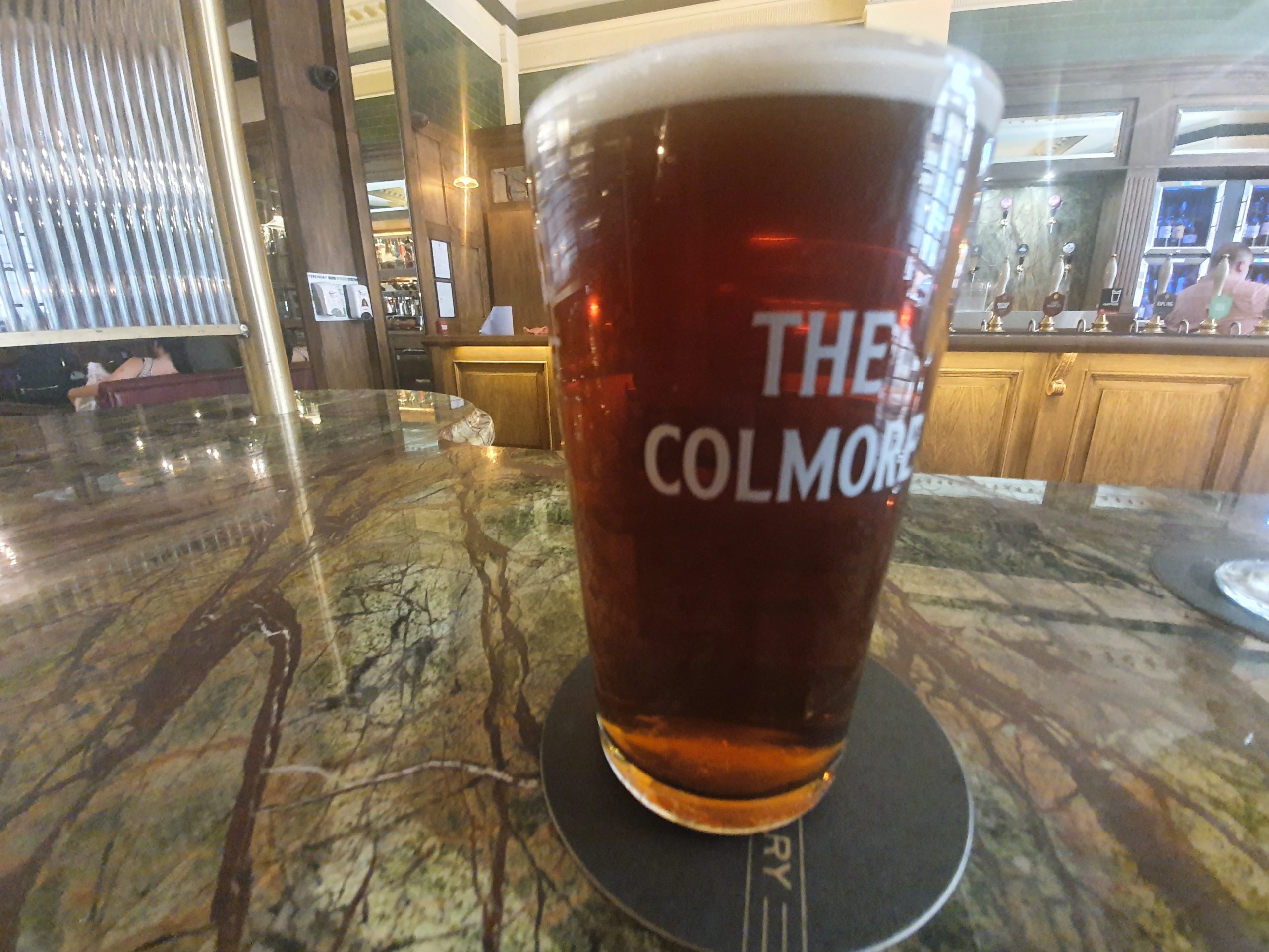
The drinks selection was though inadequate, a choice of Bud and Corona is not much use to me and there should be a nod towards something local. By chance, a guest asked when I was there if they had any real ale and the polite staff member sent them to the pub next door. The hotel should offer bottled real ale here, this is in my view an omission which is easily fixed.

I like these and I wouldn’t have expected those early times to be so quiet. I don’t like a breakfast with ambience, I like one with no people, so I went down at 07:15.

The breakfast area, which is partly served by staff and partly self-service. Now that “Freedom Day” has gone by, I wonder how long these staffed sections will remain, but it was all efficient and well managed.

And there we go. All fine and everything at the appropriate temperature, with the environment being spotlessly clean. Those pain au chocolate are generic, but I quite liked them with the above average machine coffee that they had. Incidentally, the breakfast is included and that used to be the case at more Ibis Styles, but Accor seems to have removed that as a requirement from the brand which is a shame.
Unfortunately, the hotel has below average reviews, which is a shame given the friendliness of the staff. The problem is evident when looking at the detailed scores on Google, the location gets 4.8/5, the service gets 4.6/5 and the rooms 2.9/5, so it’s clear that a refurbishment would be better sooner rather than later. Problems seem to be mostly be about air conditioning, a lack of openable windows and slow wi-fi (it is quite slow as I checked) which with the exception of the latter they are likely to be difficult to fix now. There are very few negative reviews about the staff, so at least customers feel welcome and that’s important.
I’m still here for a couple more days, but I’m not expecting any debacles, which means this is a hotel that I’m perfectly happy in. I got this as part of the Accor ‘three nights for the price of two, with free breakfast’ offer at the beginning of the year, although it’s the only one that the chain didn’t ultimately cancel due to some of their hotels still being closed. Anyway, it’s a relief not to have two bad hotels in a row (not that I get many hotels that I consider bad anyway).