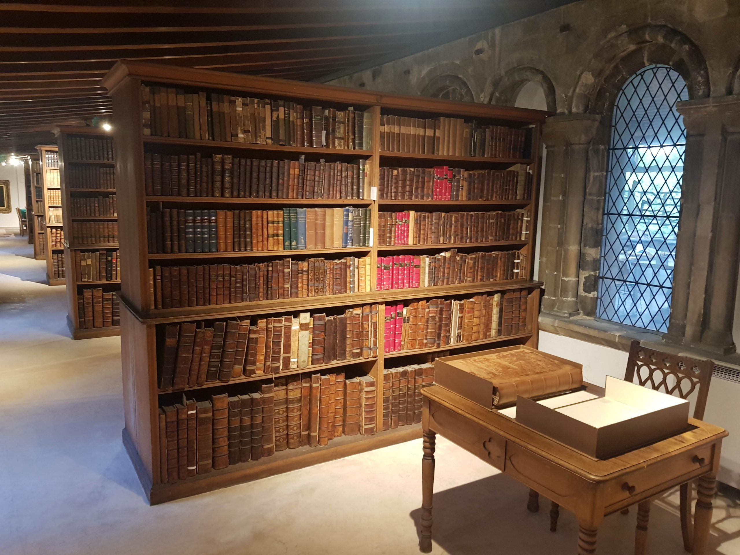
And a new little project that Jonathan and I are undertaking because this lockdown is clearly here for at least a few more weeks. It’s a bit niche (our project I mean, not the lockdown), I’ll accept that, but there we go. Effectively, it’s walking around Norwich, ancient parish by ancient parish and seeing what is there now compared to a map from the 1880s (and the 1920s). There’s a PDF of these boundaries to provide some extra background to this whole project.
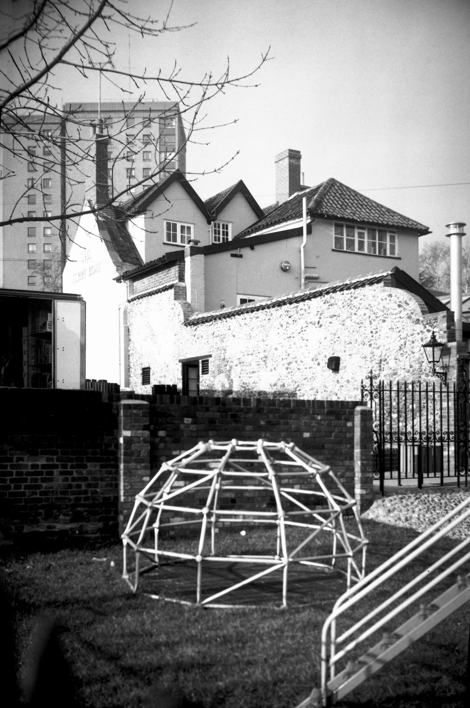
Today’s meander was around the parish of St. Peter Southgate, which sits at the southern end of King Street, connecting to the parish of St. Julian’s. This parish has retained much of its medieval character, not least the city walls which run straight through the middle of St. Peter Southgate. The church itself has mostly gone, but some of the structure remains and the churchyard is now partly used as a playground. Some of the riverside buildings have also gone, but equally, many have been turned into residential properties. The old road structure and layout remains in place here, with the exception of Carrow Bridge which has moved location slightly. Overall, I do like this part of Norwich, and it has some extensive views over the city centre.


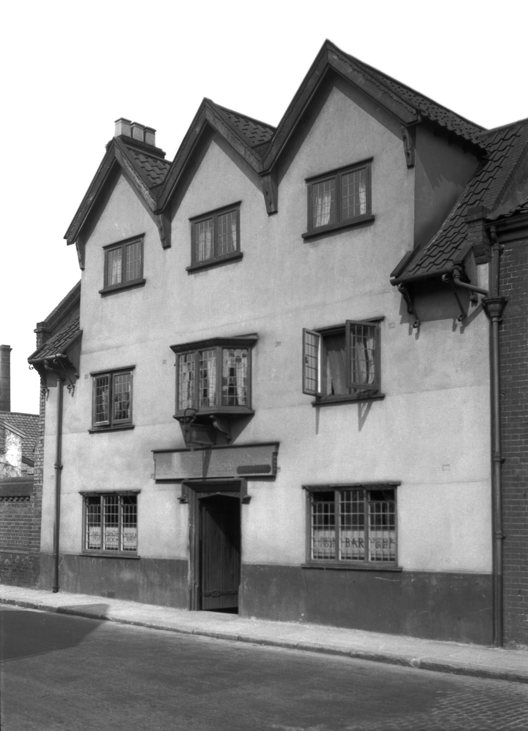
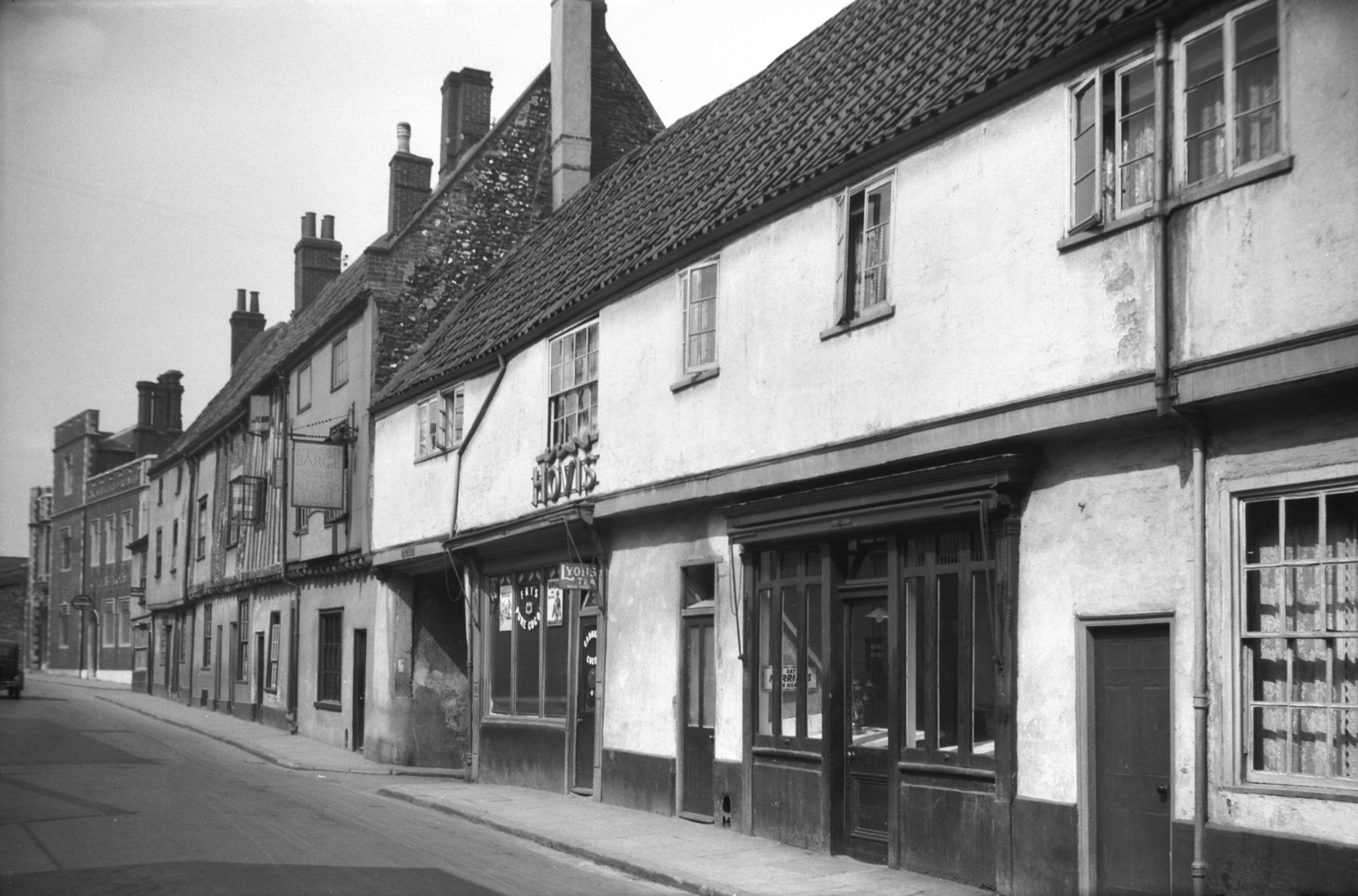
The parish cuts across the Read Mills development, with the Malt House, Ferry Yard, Albion Mill and Spooner’s Wharf all being in this parish, and Cannon Wharf is in St. Julian’s parish. I quite like this development, there’s a mixture of old and new, with some redeveloped buildings and some new build. George Plunkett has a photo here from 1968. The sad loss here is the pub that stood at the edge of this development where it joins onto Carrow Bridge, as this used to be the Kingsway Pub (photo from 1938) which traded from 1935 until 2001 and was demolished in 2005.

The Reads Mill development is on the site of where St. Olave’s Church once stood. St. Olave was a Scandinavian saint and this church was here in Saxon times, but there’s documentary evidence that it stood here between 1186 and 1210. It’s not known when the building was demolished, but it was before 1345. I mentioned to Jonathan that I was confused why the wall opposite, Southgate Lane, had chunks of what looked like Caen stone from the Cathedral, but it seems that it might well have been taken from this church.

I rather like these steps, well worn over the decades, and they’re at the entrance to Southgate Lane.

The old sign still hanging onto the flint wall.

This is the path which leads onto Bracondale and Ber Street. There was an entrance to St. Peter’s churchyard somewhere on the wall to the left, but it appears this was rebuilt in the late nineteenth century and so any evidence of that has gone.


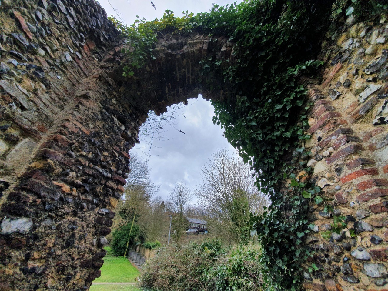
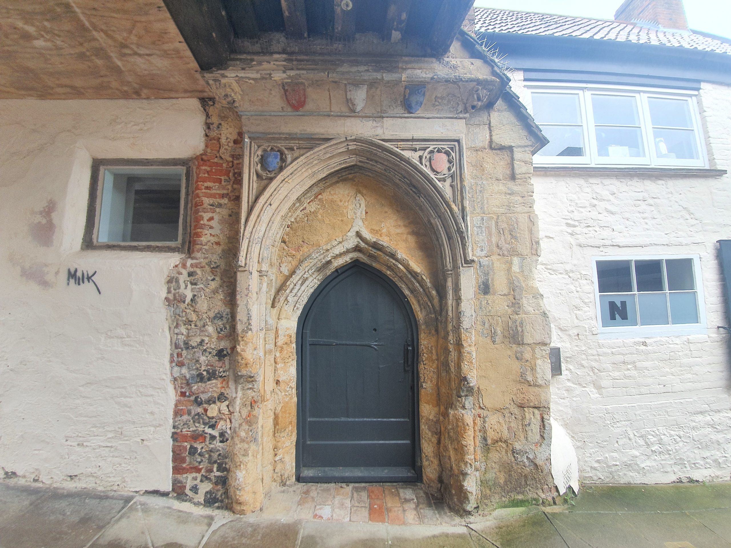
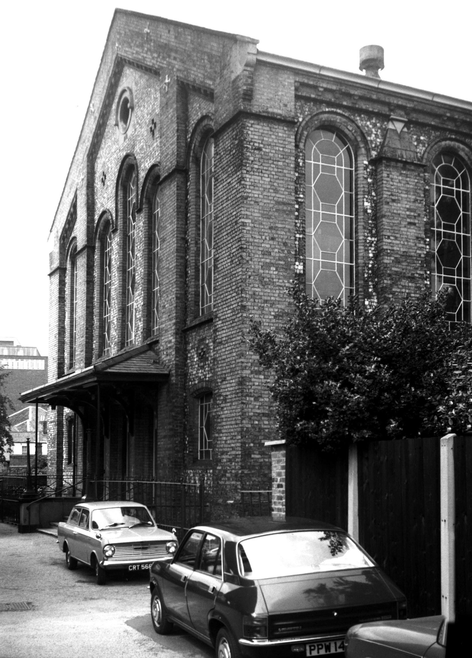
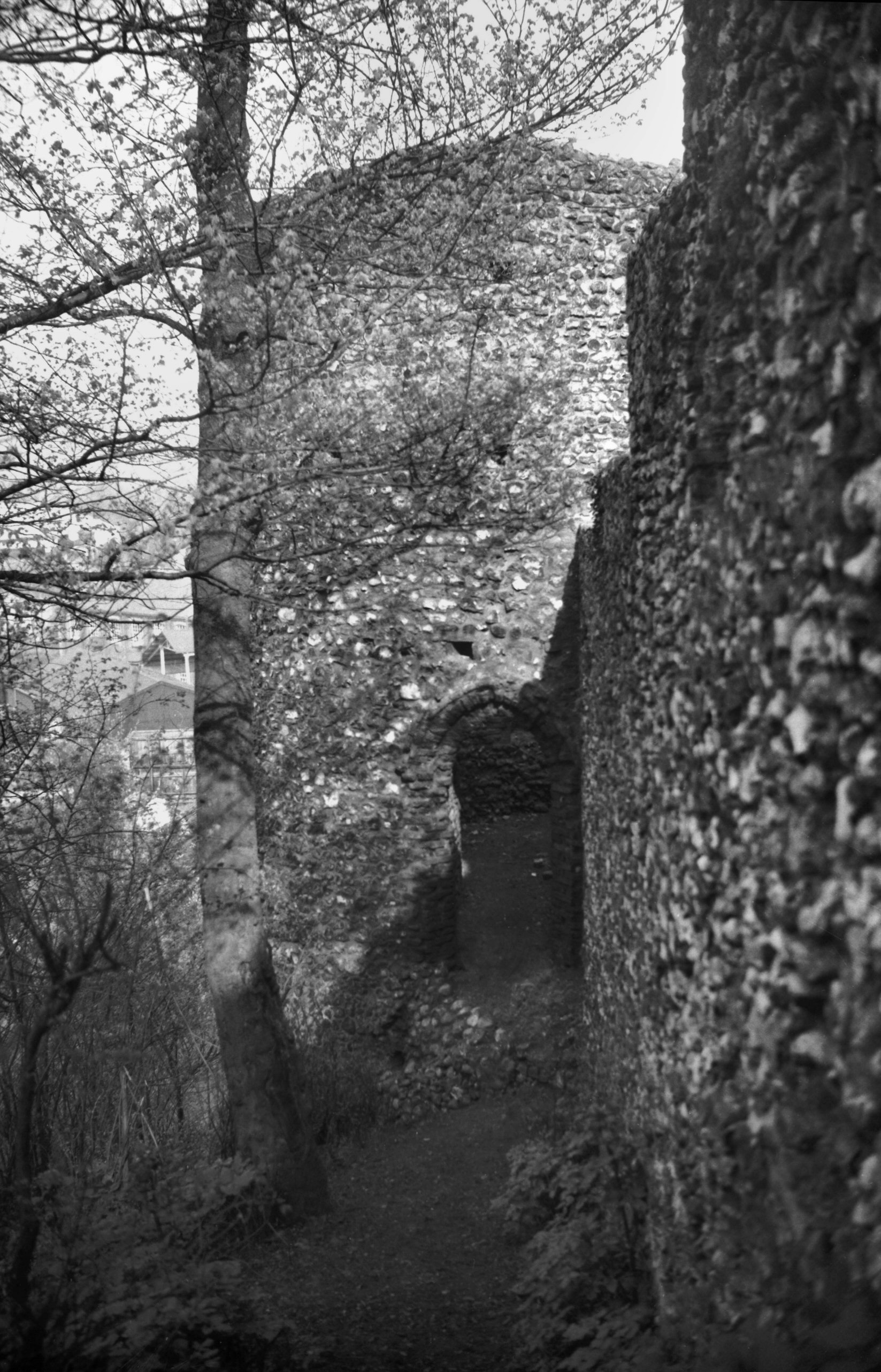
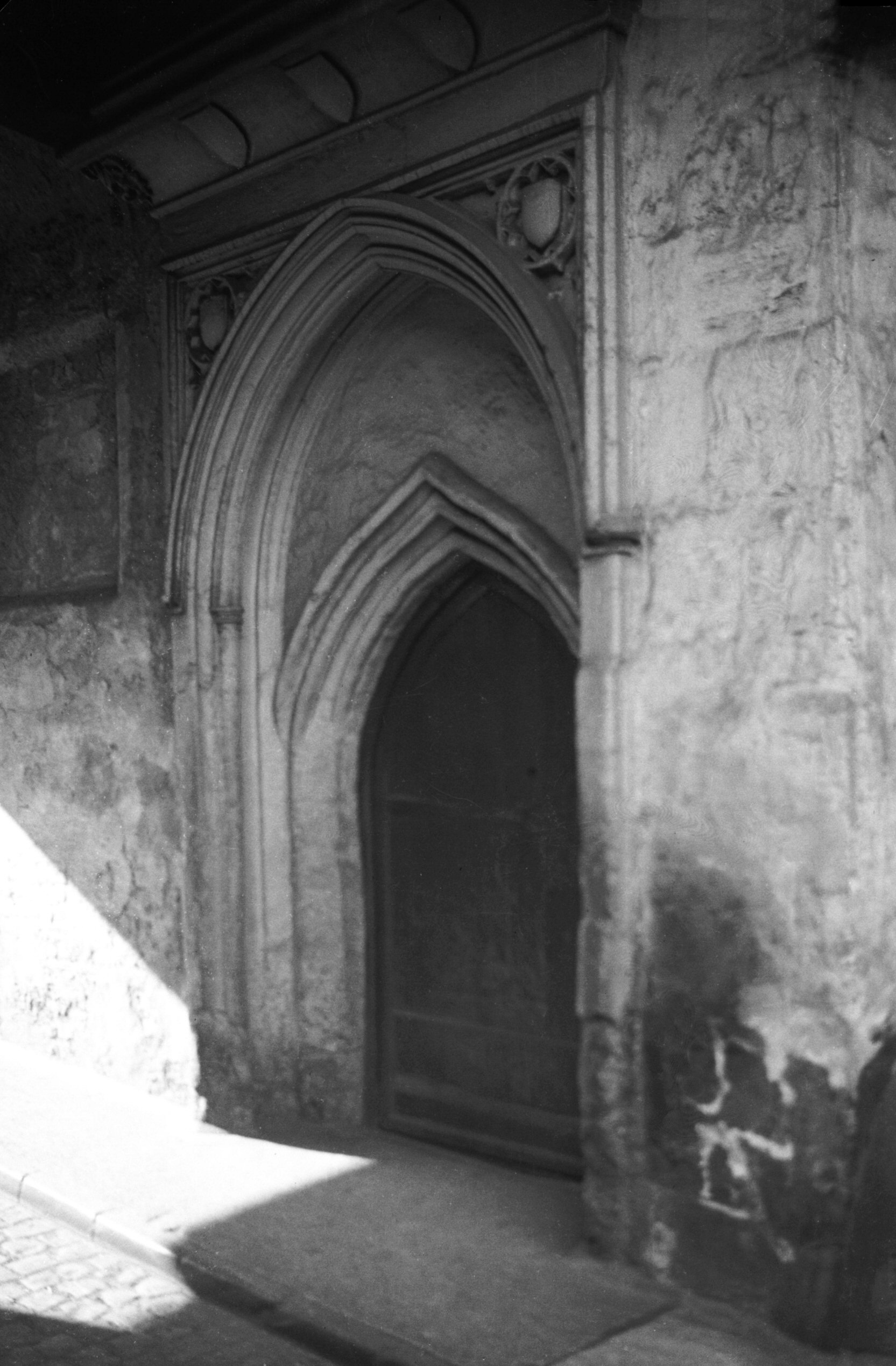
This is the church from which the parish takes its name, St. Peter Southgate, and it was the most southerly church within the city walls. This is all that remains of it today, but it was still standing (sort of, bits were falling off which isn’t ideal) in the 1880s. There was some talk at the time of saving it, but there were enough other churches in the area, so it was mostly demolished in 1887. What is quite exciting is that there was some archaeological work here in 1997 and they found that some of the structure had been left buried underground and they also found the former medieval pathway to the church.

What remains today is the lower part of the tower, but this is what it looked like in the middle of the nineteenth century. The main structure of the building was fourteenth century, although there was likely another church on the site before that, with some redevelopment taking place in the earlier sixteenth century.

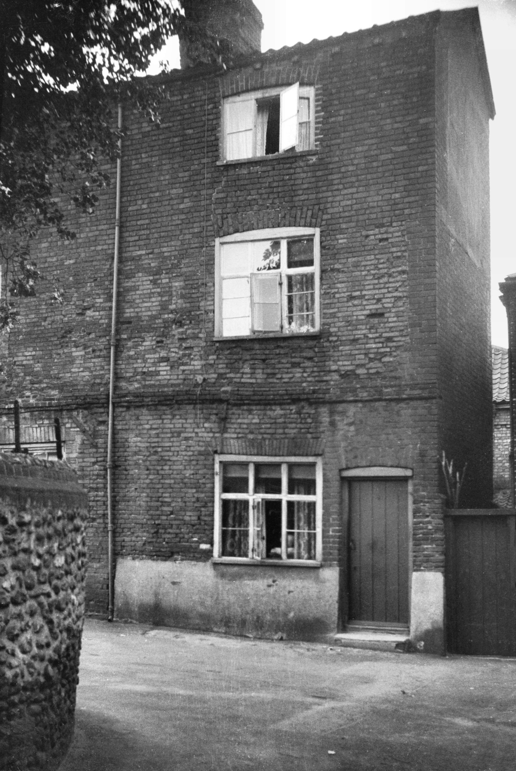
This is where Argyle Street joins Southgate Lane. There were residential properties here until not long ago, but they were demolished as there appears to be some subsidence issues.

Back on Southgate Lane, these properties were built on at the same time as Alan Road and Stuart Road (more on which later in this post), all part of the Colman development. These three properties are located on the former site of the rectory of St. Peter Southgate Church.

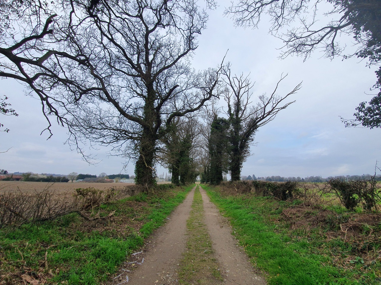
For those who think Norfolk isn’t hilly, they should walk about a parish built onto the side of what I consider to be a mountain. This is still Southgate Lane and its near vertical incline (or what I consider vertical).

Southgate House, but the edge of our parish is about here, so I’ll cover the rest of this area in another post. The reason that the parish line is along here is that this is the ridge which runs along this part of the city, and it formed quite an obvious boundary between the lower and upper parts of Norwich in this area.

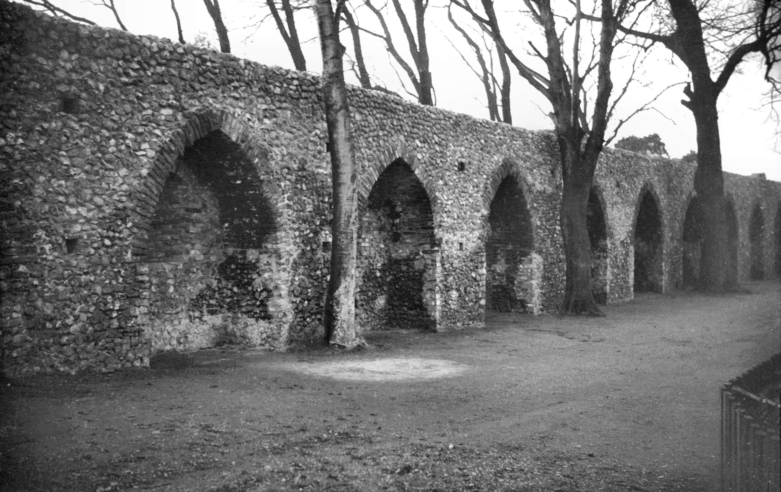
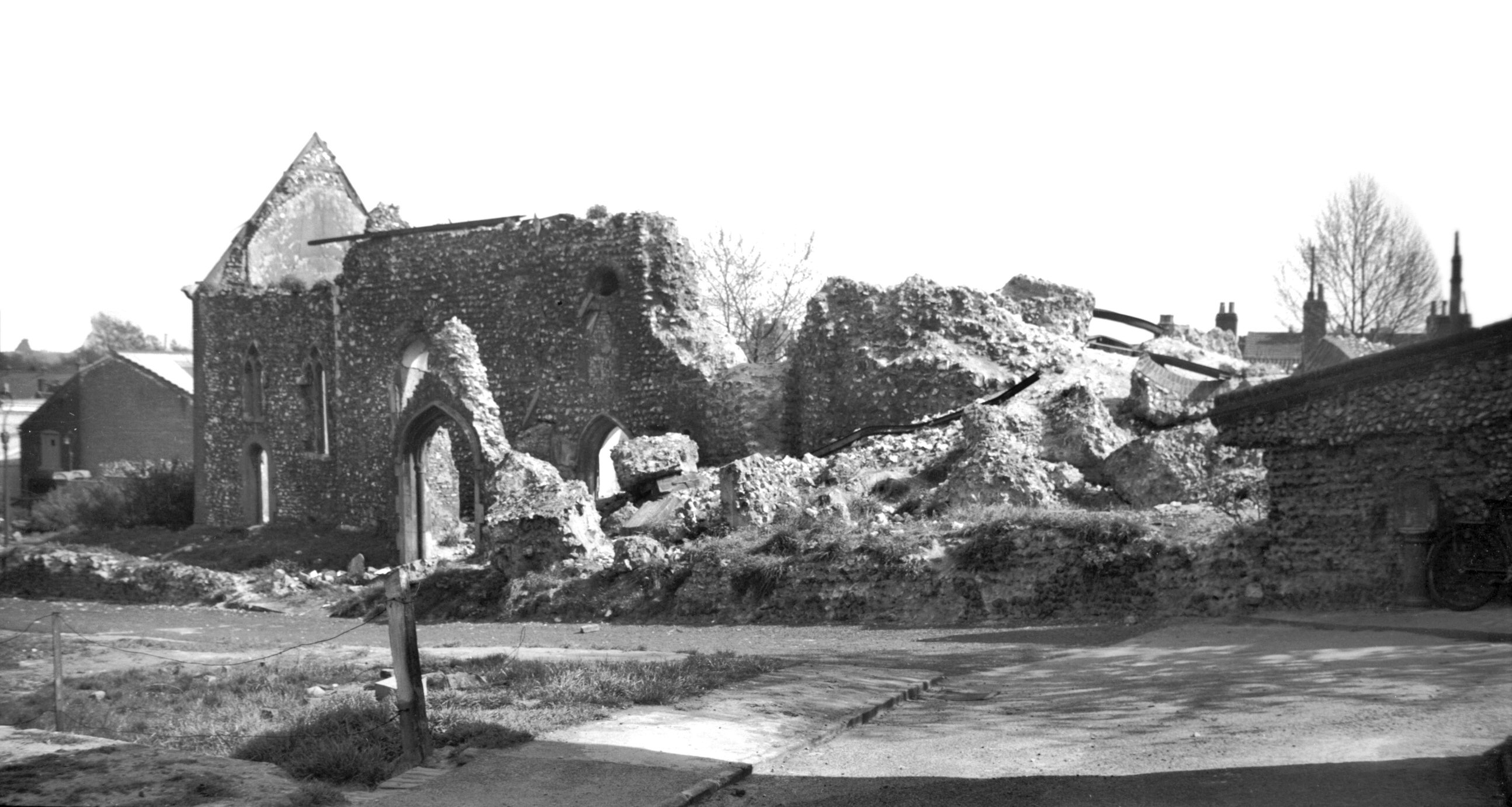
Now on Carrow Hill, this is the remains of the city wall which was constructed in the thirteenth and fourteenth centuries to keep dangerous people out of Norwich.

A fair chunk of the wall stands in this part of the city, I think it’s one of the best preserved parts. Most other parts of the wall have only survived because buildings have been built up against them, but this has generally damaged the wall and development takes it toll on structures like this. Here’s a George Plunkett photo from 1934 of this section of wall.

Until recently this was Carrow Hill Hostel, but was previously a private residence known as the Wilderness. It was constructed in the middle of the nineteenth century, with a later extension added at the end of the same century. Unfortunately, it is now boarded up, but would make a quite wonderful home given its views over the city. Or, actually, it would make a nice Greggs.

I have to be honest and mention that this isn’t necessarily the nicest part of Norwich, there’s a fair amount of vandalism and anti-social behaviour here. I’m fairly sure that this isn’t where the railings should be either.

The Black Tower, which was once the home of the city constable. By the eighteenth century the original defensive purpose of the tower had been lost and it was turned into a snuff mill, although the structure was modified in the nineteenth century to remove most remnants of that usage.

The base of Black Tower which was used in the sixteenth century to hold the bodies of plague victims.

Inside the Black Tower, but it’s gated off to prevent anyone getting in.

Walking down the path by the city walls.

The views over Norwich are extensive here, although a little hidden by the trees at the moment. Little has really changed in this part of Norwich, also named the Wilderness, over the last few hundred years.

More fence smashed off from somewhere.

I don’t know who is in charge of the maintenance here, but the wooden support rails have been damaged or have just fallen off through age.

More of those Norwich views.

The remnants of a bike. There’s quite an assortment of junk down here, including some wheelie bins that some resident is likely quite annoyed to have lost.

This is Wilderness Tower, which sits further down the hill to Black Tower, and takes its name from this area which as mentioned earlier is also known as the Wilderness. This doorway is visible in George Plunkett’s photo from 1965, where the path down doesn’t look quite as easy to navigate as it is today.

And more litter…..

Looking back up the path, this route is I think often overlooked by visitors to the city who might not think to come to this part of Norwich.

At the base of Wilderness Tower.

The path narrows here and returns back down to King Street.

Alan Road, built by the Colman family, and this was named after Alan Cozens-Hardy Colman.

This road backs onto the hill, with both the Black Tower and the Wilderness Tower in the distance.

The base of the hill at the end of Alan Road.

The back alley between Alan Road, on the left, and Stuart Road, on the right. Morrison’s might want to pop down to this little vicinity to collect several of their trolleys which have been abandoned.

This is the wall that separates Stuart Road from the former churchyard of St. Peter Southgate.

And now into the Colman family built Stuart Road, which is named after James Stuart, who married Laura Colman. He’s also linked with Stuart Court and Stuart Gardens in the city centre.

And this road runs parallel to Alan Road.

One area that has changed over the last 100 years is the moving of Carrow Bridge and more on its former location later. This new bridge required a section of road to be built from King Street to the River Wensum, although there was already a road on the other side that led to the river. As the plaque notes, the bridge was opened by HRH Edward Prince of Wales on 27 June 1923.

Standing on the current bridge, it’s possible to see where the predecessor was, as it’s by that red life buoy (click on the above image to even get a chance of seeing that…).

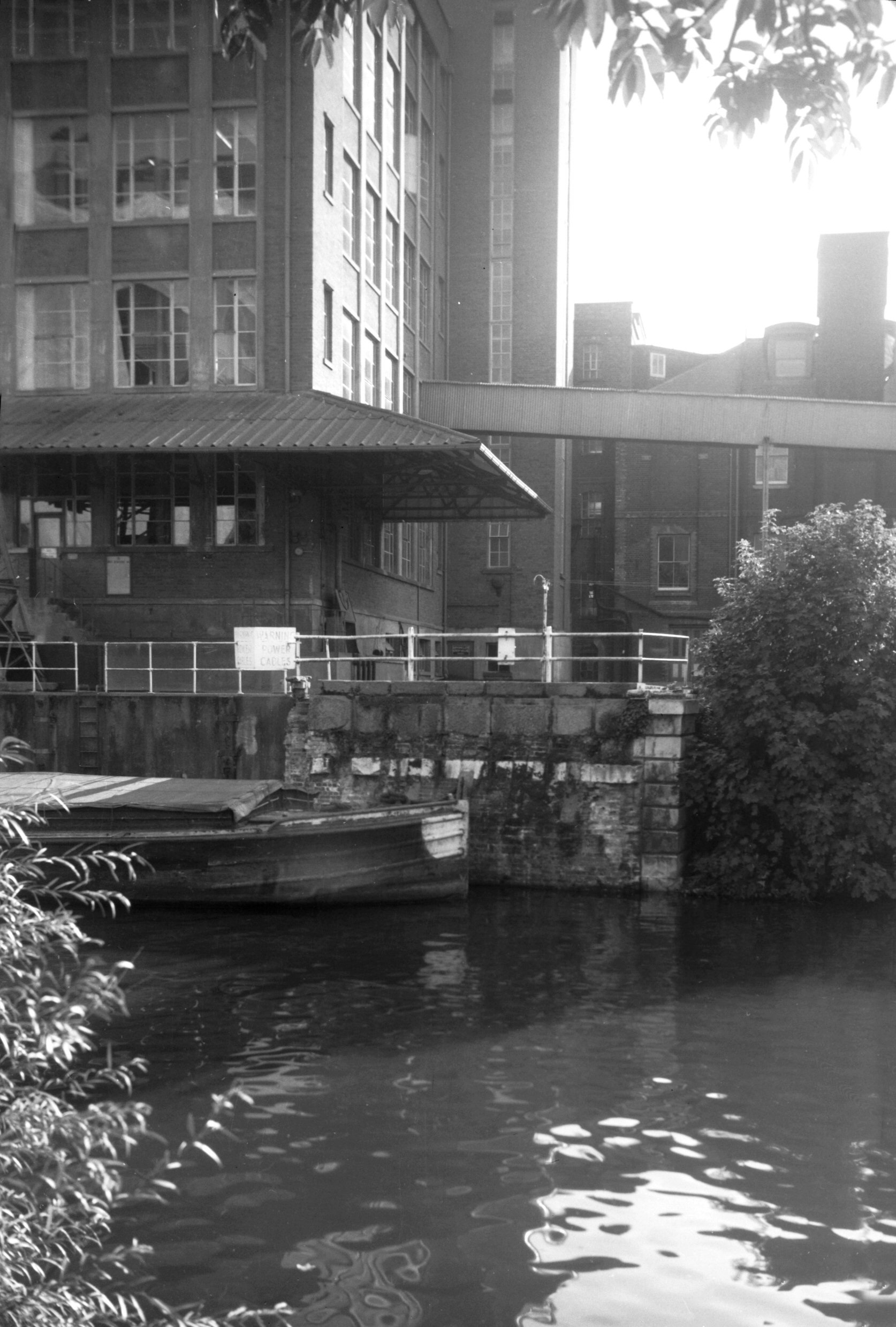
The pilot’s office (I have no idea if that’s appropriate terminology, but it’s the shed thing that the person who moves the bridge up and down sits in) which I’m not sure is used very regularly any more.

This is Carrow Bridge House, used by the master or pilot of the bridge, which was sold off in 2017, reaching the sum of £250,000. It’s currently boarded up and will probably end up as some Airbnb arrangement.

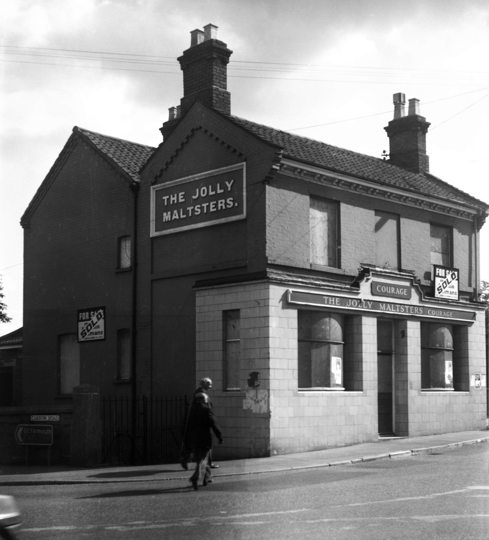
This is back on King Street and was until relatively recently the site of the Jolly Maltsters public house. I read that this was pulled down for road improvement works that never took place, but that might just be a false rumour. It’s a shame the pub was lost, especially since the Kingsway pub opposite was also taken down. George Plunkett, as ever of course, has photographed it, and here’s the Jolly Maltsters in 1983.


The former city walls leading down to the river. This work on the walls seems to have been going on for some considerable time, but perhaps the current pandemic has caused a delay.

There is a boom tower on either side of the river here, in place of the walls. The boom is a chain which would be slung across between the two towers, making it impossible for enemy boats to sail into the city.

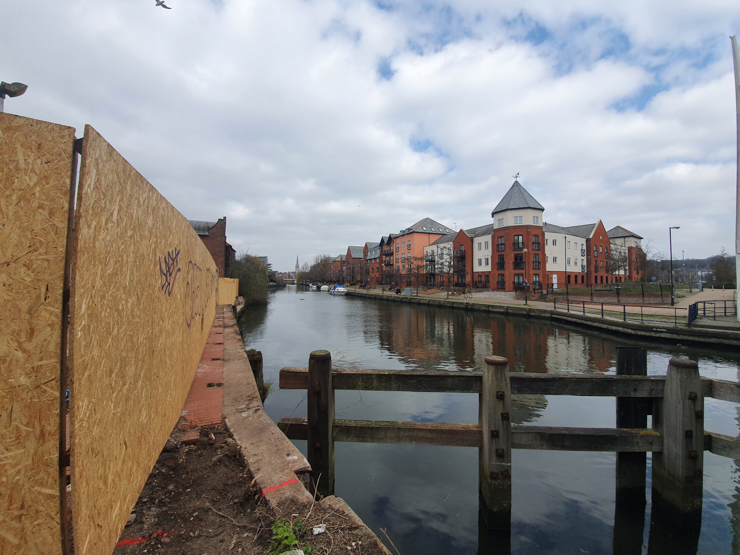
One of the converted riverside buildings and I know a little about this development. It’s been a little bit fraught throughout and although these older buildings look fine aesthetically, the construction of the site wasn’t perhaps always ideal. It’s a decent location though by the river, but I wonder about the long-term sustainability of some of the new build flats that have been put up.

I mentioned earlier that the bridge has moved and there’s a plaque which is a reminder of what the old one looked like.

George Plunkett has a photo from 1964 of what the stone footing of the bridge looked like on this side of the river.

These are the buildings that remained part of the industrial site until recently, but will likely end up soon as a residential development. I don’t want to write much about Colmans at this stage, because most of these buildings are in Bracondale parish and I don’t want to confuse myself in advance of writing about that area. However, Colmans built their first factory in Norwich in 1854 and they only left in 2020, meaning this entire site is likely to be part of a major new development. There’s a plan being put forward which would see 4,000 homes being constructed here and some talk of a marina. I hope it has a Greggs.

The Granary View development, with the new section on the left hand side, and the buildings on the right which back onto the river are mostly renovated from older structures. The road to the left at the front of the photo leads to King Street and to the right (and out of shot, but by that yellow grit bin) is the site of the former bridge.

Our parish boundary comes to an end around here, where it becomes the parish of Bracondale. However, that is outside of the city centre parishes, so this was the edge of Norwich as far as those boundaries went, just outside of the line of the old city walls.

Looking up Carrow Hill.

I’m slightly puzzled that this building doesn’t appear to be listed, but it’s the Carrow Hill school which was opened by Colmans to help educate the children of their workforce. Colmans had an excellent reputation for this, as well as for their efforts to construct decent housing for their employees. The school opened in the 1860s, but it stopped being used for that purpose in 1919. Colmans kept hold of the buildings and used them for research laboratories and for Sunday school gatherings, finally selling off the buildings to be used as offices in 1962. There were some extensive allotments here, but they are now under a new residential development.

The stone isn’t the easiest to read, but I think it says infants. I doubt many infants would work that out….

A reminder of the air raid that killed five employees of Colmans, namely Maud Balaam (aged 40), Maud Burrell (aged 37), Bertha Playford (aged 19), Gladys Sampson (aged 18) and Bessie Upton (aged 36).

Norwich is definitely not flat, this is the city centre taken from Carrow Hill.

And to end the walk, a meander back down to King Street using a different set of steps. This is all, I think, a quite lovely area (bar the vandalism and fly tipping).


