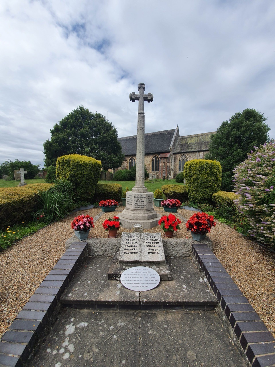
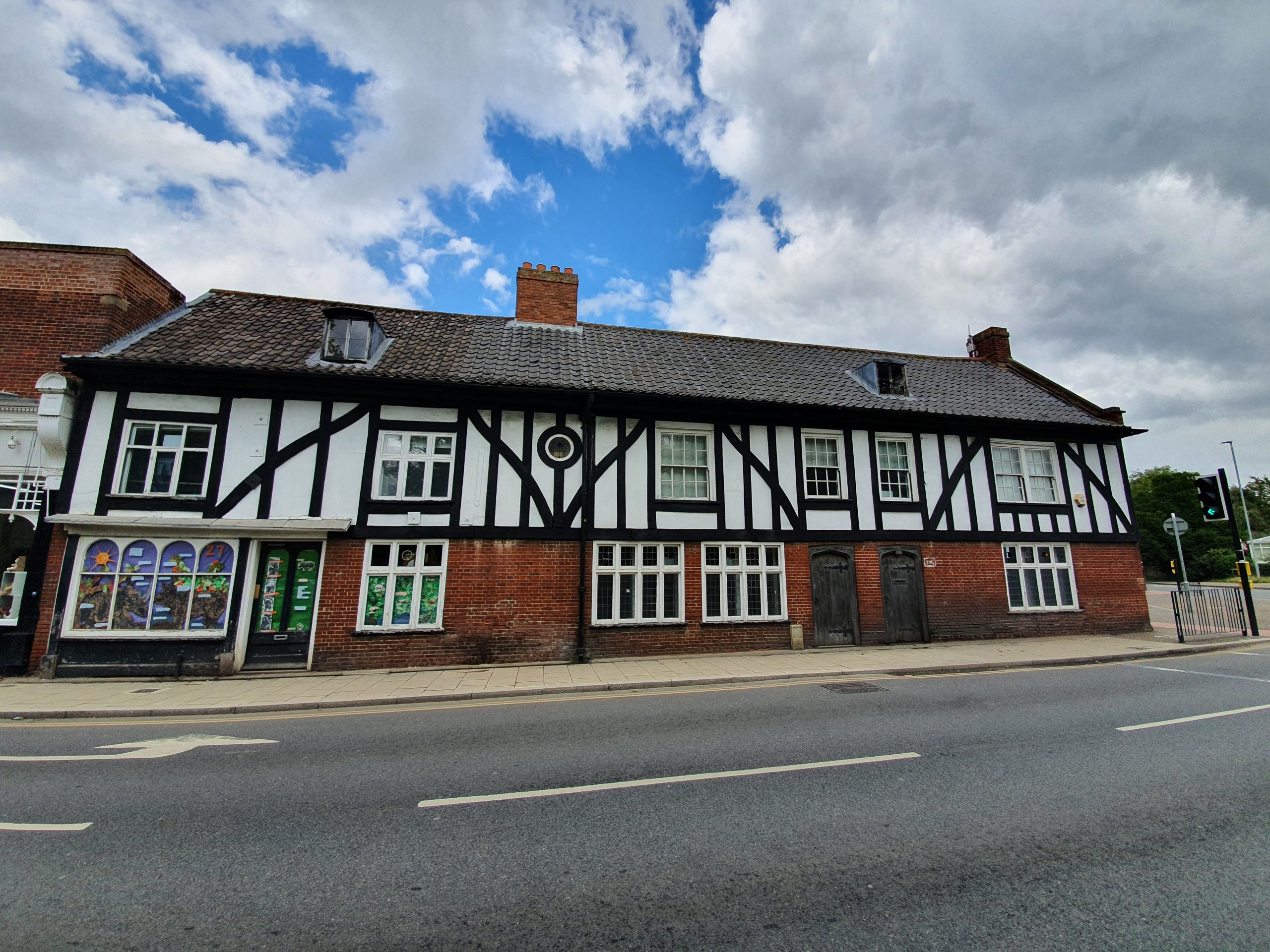
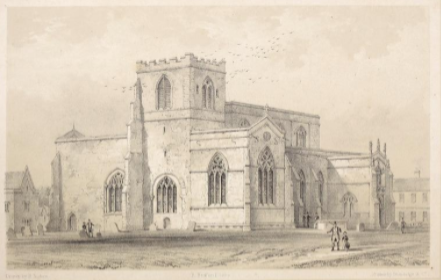
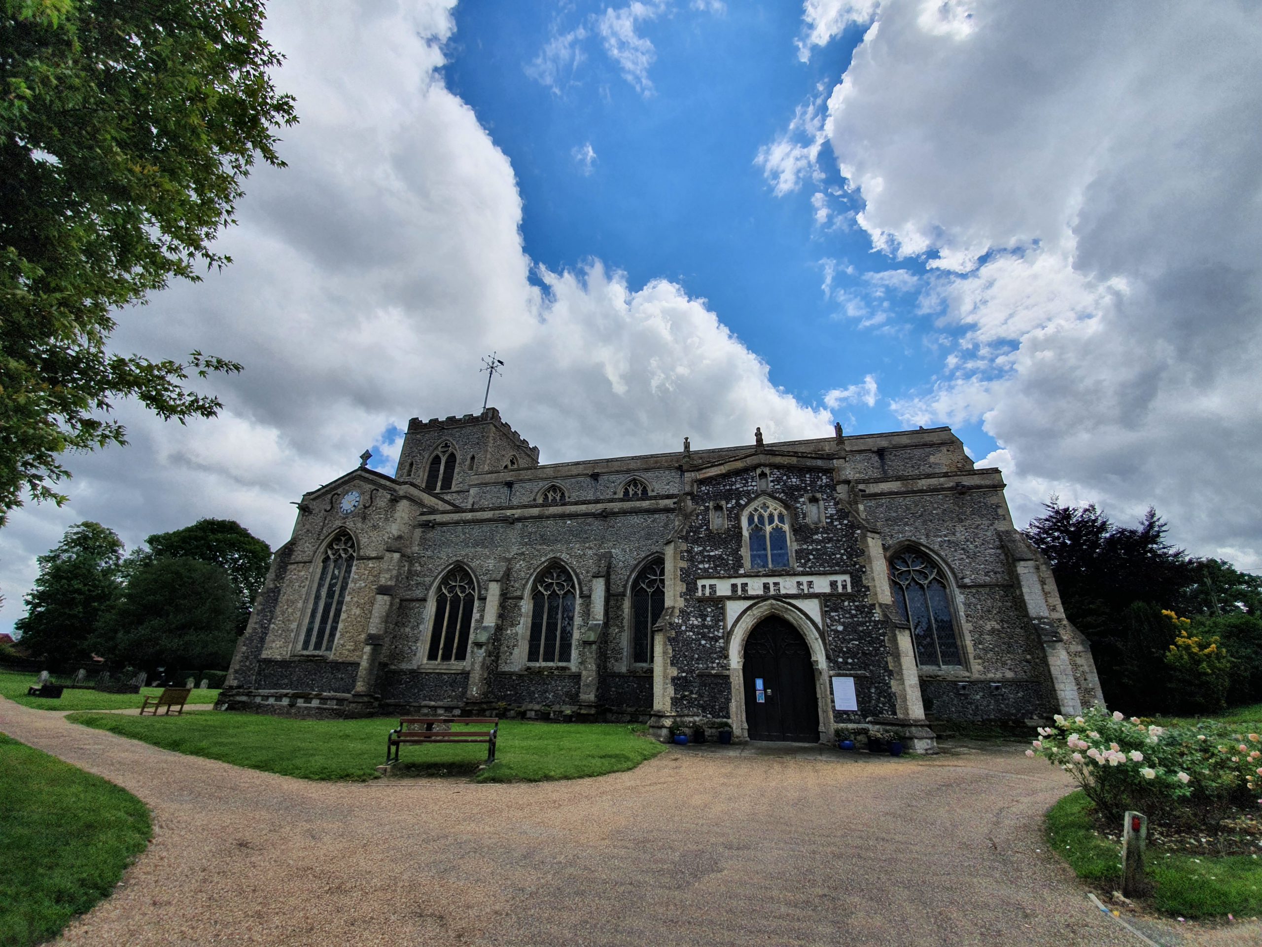
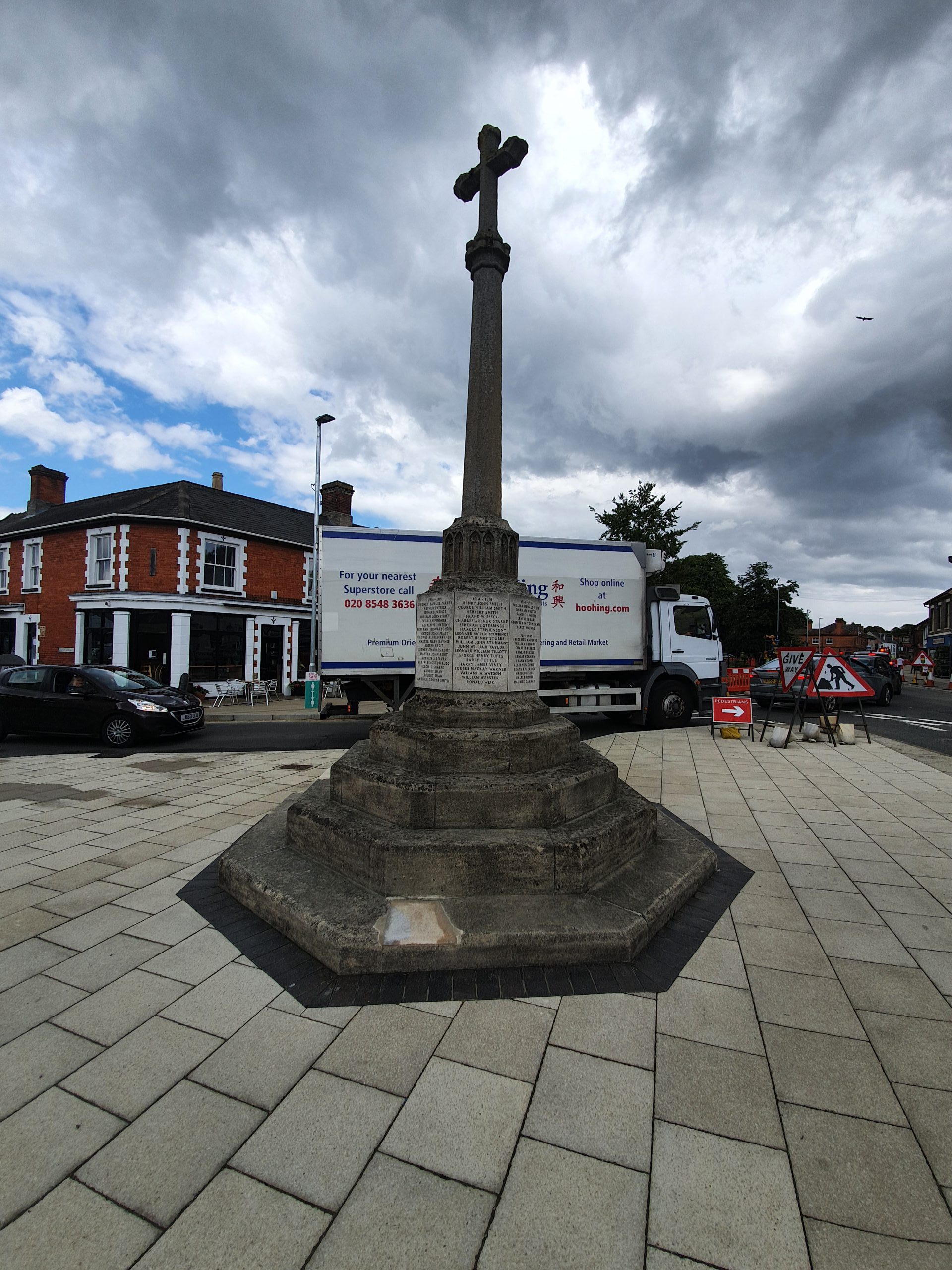
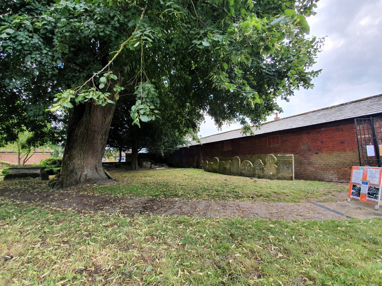
Category: UK

  • Norfolk and Norwich Archaeological Society

    Norfolk and Norwich Archaeological Society

    This is a really useful thing to do, the Norfolk and Norwich Archaeological Society have scanned and made available all the back issues of their journal, Norfolk Archaeology. So, that’s 44 volumes and 1361 articles. Most useful.

    The link is at:

    http://www.nnas.info/NABackIssues.html

  • Shotesham – St. Martin’s Church

    Shotesham – St. Martin’s Church

    This ruined church is in Shotesham St. Mary and it’s dedicated to St. Martin, having originally been constructed in around the eleventh century. Most of the current building, or what’s left of it, dates to the fifteenth or sixteenth centuries.

    Looking towards the tower from the east end of the church. Walking with my friend Rob, he mentioned how clear the sky was without any aircraft trails visible, which is quite right but isn’t something that I’d thought about.

    The walls are made of flint, with some brick dressing, and are surprisingly robust in the sections that remain. They’ve received some work recently to strengthen them, so hopefully they’ll last for some time yet.

    The church was abandoned in probably the seventeenth century and it had become derelict by the nineteenth century. Given how many other churches there are in the Shotesham area, even the Victorians didn’t feel the need to restore this one.

    The former roof line where the nave met the tower is visible, but the high quality of the construction is apparent at the top of the arch.

    Until a few years ago, this church was covered in ivy which had taken hold from the 1950s and had made it more difficult to visit and it was also causing long-term damage to the structure. The work to clean up the site led to the discovery in the south wall of evidence of the location of the holy water stoup. There are no gravestones visible, but the site remains consecrated and it’s in the care of Shotesham Parochial Church Council.

  • Shotesham – Name Origin

    Shotesham – Name Origin

    It’s been a couple of years since I’ve been to Shotesham and my visit today saw some warm weather. A bit too hot, but there we go. Anyway, the origins of the village name.

    The Concise Oxford Dictionary comments on this name:

    Shotesham, Norfolk. Shotesham in 1044, Scotesham in Domesday Book, Schotesham Omnium Sanctorum in 1254. Scott person, literally from Scotland or Ireland.

    The 1254 longer version of the name means Shotesham All Saints, but it’s impressive that the village had the same unchanged name nearly 1,000 years ago of Shotesham. The ‘ham’ means farm, homestead or settlement, but I’m not sure what Scots person exactly this is named after. I’m sure that whoever it was that they’d be surprised to see just what a legacy they had on the area.

  • Shotesham – Shotesham Rocket

    Shotesham – Shotesham Rocket

    Located near to the village of Shotesham, near to All Saints Church, is this sign which gives some history about why there’s a hole here.

    The depression, which is a little hard to make out here now because of the trees, was caused by a German V2 missile which caused damage to 43 buildings in the village. It was fired on 6 October 1944, the only such attack in the UK that day, and fortunately no-one was hurt during the explosion. As the sign notes, it’s not entirely clear what the Germans were trying to hit, but it’s thought that it might have been the Radar Station at Upper Stoke. So, it wasn’t a marvellously accurate attack, as that’s a few miles away.

    The rocket was fired from Rijsterbos in the Netherlands and it travelled at around 3,000 miles per hour and descended from a height of fifty miles. The rockets caused significant damage to the area where they landed, with craters being around twenty metres in width and eight metres in depth. If this would have been developed and used earlier in the war, its impact could have been terrifying as they were nearly impossible for the British military to be able to stop once they were fired.

  • Whitlingham – Name Origin

    Whitlingham – Name Origin

    Whilst on a roll checking the origins of place-names in the Concise Oxford Dictionary, the village of Whitlingham is defined as:

    Whitlingham, Norfolk. [Wisinlingaham in Domesday Book, Wicthlingham in 1206, Withlingham in 1254]. The ham of Wihthelm’s people.

    ‘Ingas’ (or ing) is the Saxon word for a group of people, whilst ‘ham’ means farm, homestead or settlement. I’m not sure if I’m meant to know who Wihthelm was, but I don’t. Although he was probably quite important if he had a little collection of followers. It does though help date the settlement, now best known for its lake and sewage treatment works (these two are separate locations, they haven’t merged them), to at least the Saxon period.

  • Panxworth – Name Origin

    Panxworth – Name Origin

    I was reminded of the village of Panxworth as I visited it yesterday and I’ve long found its church quite intriguing. It fell into disrepair and was brought back by the Victorians who reconstructed the nave and since then it has been taken down again and just the tower remains.

    I still didn’t know where the word Panxworth had come from, but the Concise Oxford Dictionary also struggled to come up with an answer, noting:

    Panxworth, Norfolk. [Pancforda in Domesday Book, Pankesford in 1165, Pangeford in 1254] The only old English word with which the first element may be compared is panic, a kind of millet, a Latin loanword. Probably some other form of explanation should be sought.

    So, the second half used to make more sense, it was a shallow river crossing, or ford. Although worth is a different meaning, it’s from the Anglo-Saxon ‘worðig’, meaning an enclosure, so the village name must have changed in around the thirteenth or fourteenth century. The word ‘panic’ has a different origin to how it’s used today, it’s from ‘panus’ which means the ‘ear of millet’ in Latin.

    I’m not sure I got an answer to the name origins of Panxworth, but it’s probable that Panx was just a person and they’ve named the village after him. But, there’s something nice about it being derived from the word panic.


  • Bramerton – Church of St. Peter

    Bramerton – Church of St. Peter

    Unfortunately, the current situation means that the interior of churches can’t be visited, so I’ll have to come back again for that. There has been a church here since around the end of the thirteenth century, but much of the current structure is from a reconstruction in the 1460s, funded by a legacy from Richard Medewe.

    The lychgate at the entrance to the Church of St. Peter in Bramerton. The gate is relatively modern and was installed at the beginning of the twentieth century.

    These quite bulky diagonal buttresses date from the 1460s reconstruction, so were part of the original design plan. The clock on the tower was installed in December 1928, designed by Smiths of Derby and this originally had to be wound up every week, but the process has since been automated.

    Aesthetically, I do wonder what they were thinking when they inserted that Priest’s Door in the early part of the seventeenth century. They had to chop the bottom half off the window to do it and it hardly fits in, but I suppose religious convention of the time demanded it.

    This is a pencil drawing of the church from the early nineteenth century,

    The porch.

    The west side of the church all looks a bit out of proportion, primarily due to the construction of a vestry in the nineteenth century. This work was undertaken in 1866 and also increased the capacity of the church to 180 people, pretty much the entire population of the village.

  • Whitlingham – Trowse Newton Hall

    Whitlingham – Trowse Newton Hall

    The former entrance to Trowse Newton Hall, it’s in a beautiful location by Whitlingham Lake today, but it was previously in a more private area of land as the lake is a more recent man-made creation.

    The current hall was constructed in the mid-fifteenth century to be used as a country house by the priors of Norwich, but this replaced an earlier building. This previous structure had been visited by Edward III and his wife Philippa in 1335 and they arrived in a grand procession along the River Yare.

    The privilege of the priors was also used by the Deans of Norwich Cathedral following the reformation, but the property was let out to tenant farmers from the seventeenth century. The building was badly damaged following the Norwich food riots of 1766, caused by an increase in bread prices and a misplaced notion that bakers were making a fortune, and it was later mostly demolished in around 1860.

  • Norwich – Meadows Near the River Yare

    Norwich – Meadows Near the River Yare

    Just photos, but this is the meadow area between Trowse and Whitlingham Lake, just by the River Yare. I’ve never walked on these meadows, although they were peaceful and there were a few small groups sitting by the river.

    Not the most welcoming of introductions though.

  • Norwich – Colman’s

    Norwich – Colman’s

    Last week, Unilever closed the Carrow Works factory that has been used by its Colman’s brand since 1856, marking the end of the connection with Norwich.

    I noticed that the Colman’s branding has been removed from the site now, with production mostly moving to Germany. I have no idea what they’re going to do with the huge site, although there are some listed buildings within the complex, so it’ll likely be turned into housing. Some of the site is currently available for short-term let, although I’m not sure who would want such a large site for 18 months.