
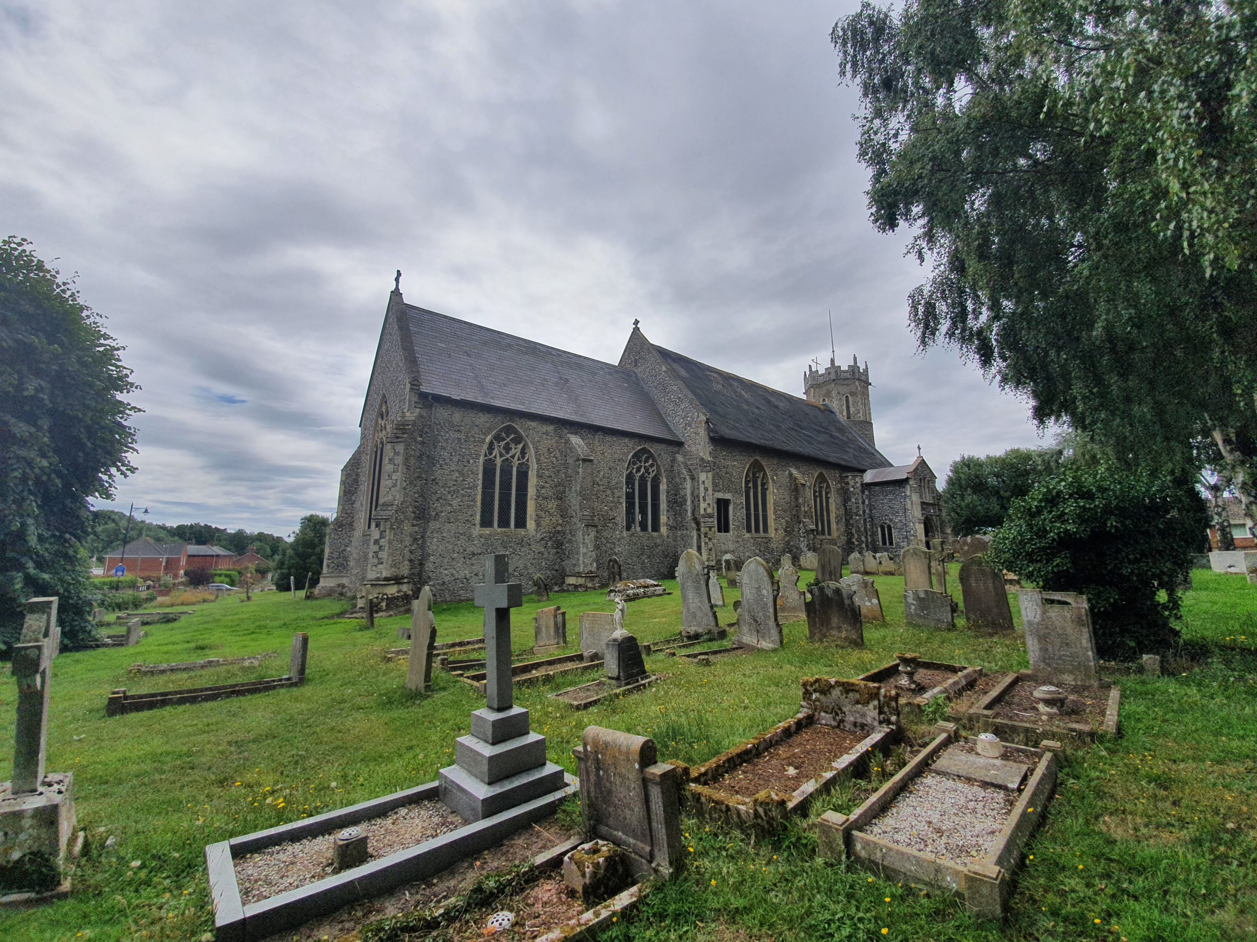
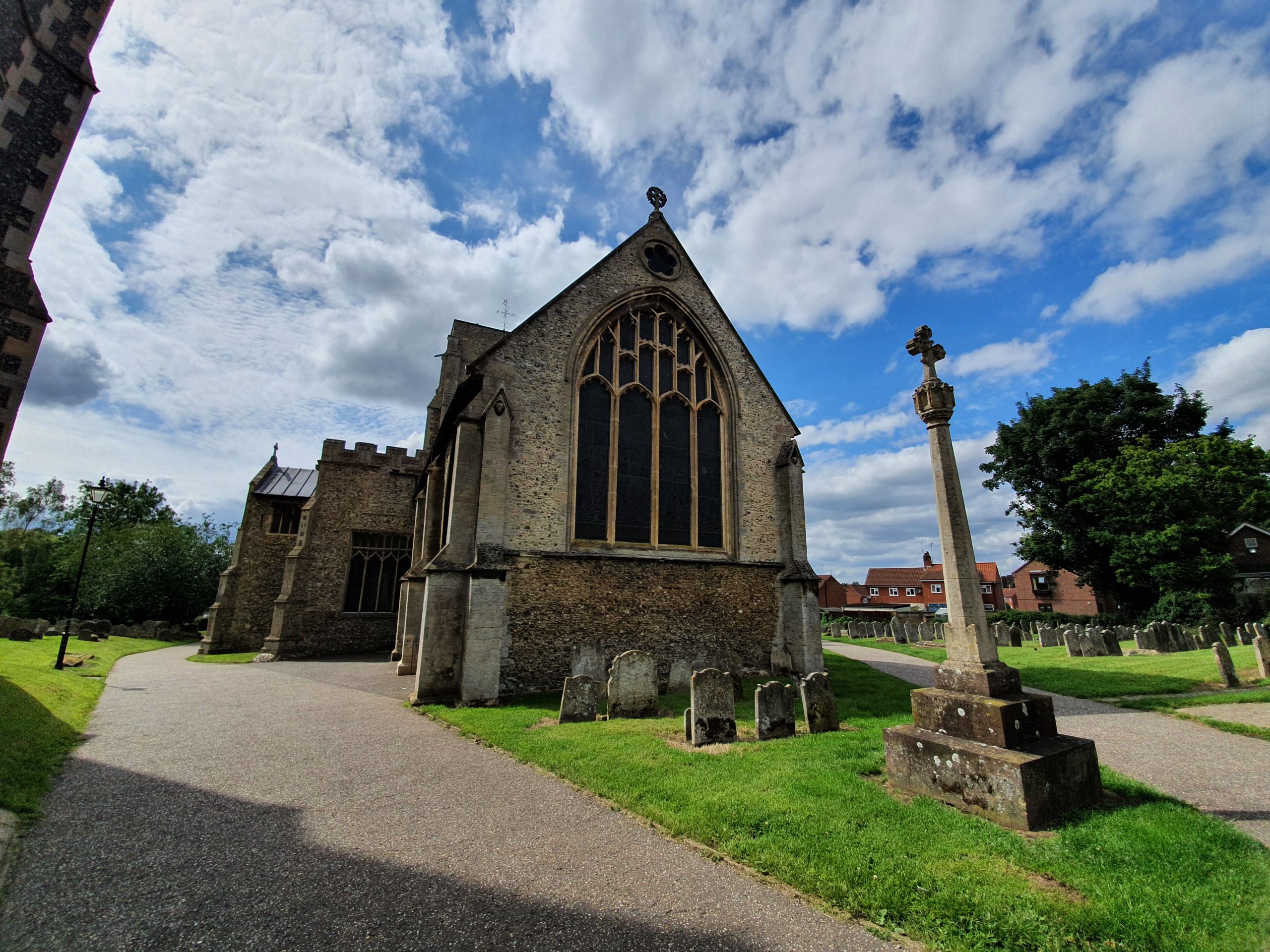
The round tower of St. Edmund’s Church in Acle is from the twelfth century, although most of the rest of the structure is from the fourteenth century. The look of the church from this southern side shows the exterior of where the rood stairs were located, as well as the different heights of the nave and chancel.

The building was restored internally in the 1860s, with Richard Phipson (perhaps best noted for his work on St Mary-le-Tower in Ipswich) working on the nave and Ewan Christian (perhaps best known for designing the National Portrait Gallery and restoring Southwell Minster and Carlisle Cathedral) working on the chancel.
There was another major restoration that was completed in 1904, which primarily dealt with the roof, with the work being overseen by Herbert Green, the Diocesan surveyor. It was noted that before this restoration that the underside of the roof was plastered, but this was removed and replaced by oak boarding. Some work was also done to fix the floor of the nave, which had become dangerously uneven by this point. I’m not actually sure what happened to Richard Phipson’s 1866 plans, as he had planned to remove the plastered ceiling to show the oak cradle roof.

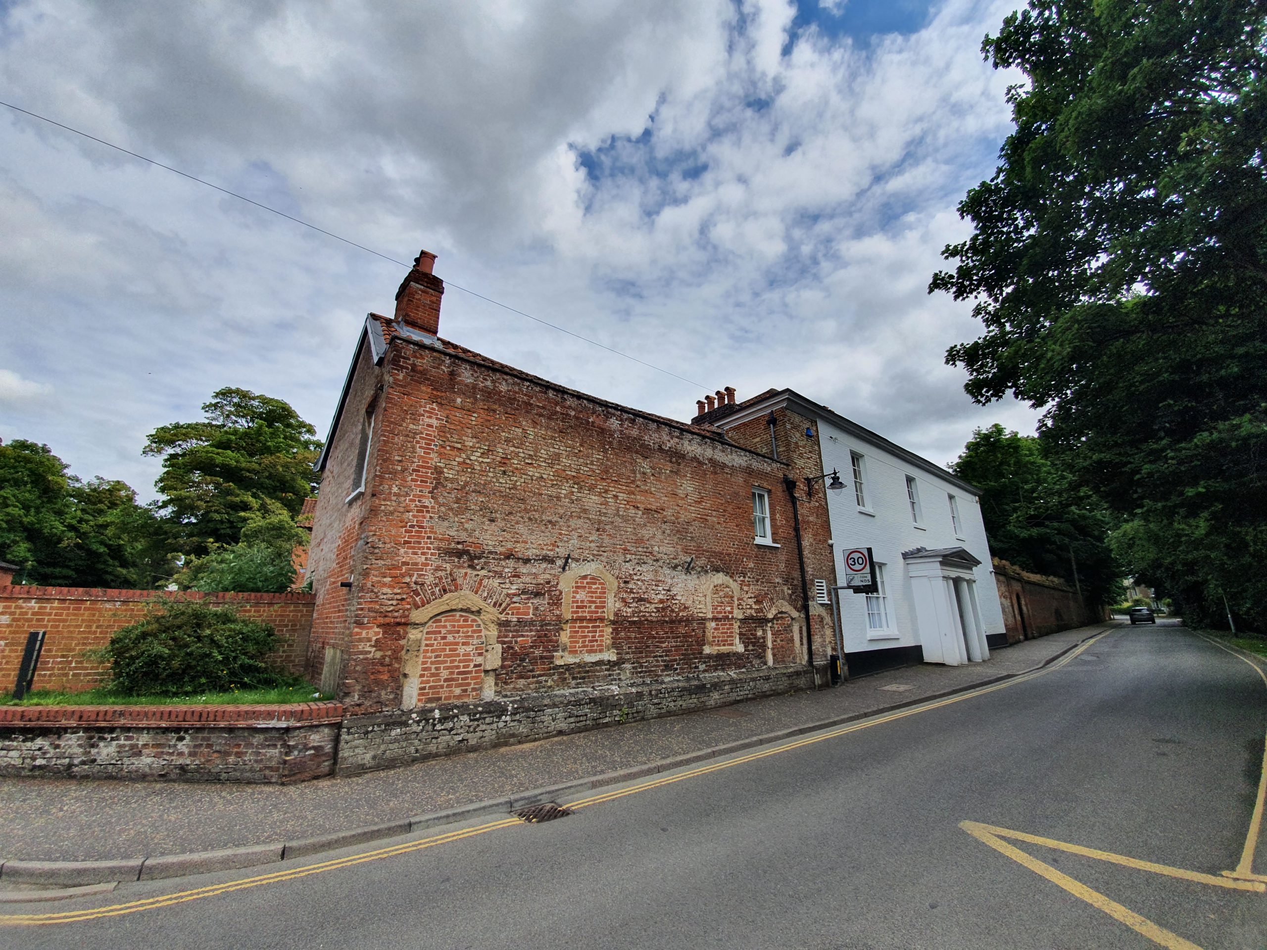
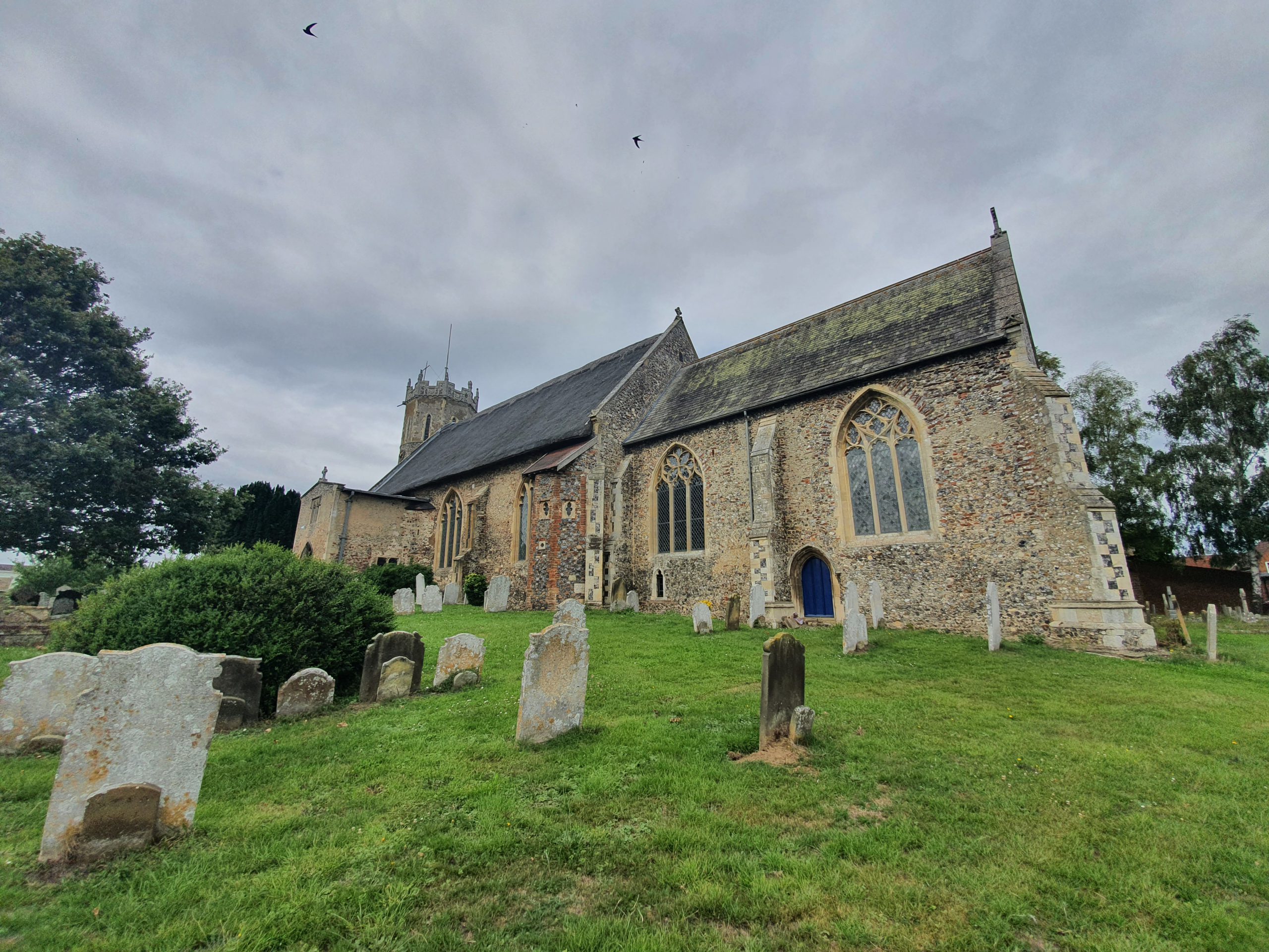
The thatching is in need of some repair on the north side (and the church is mid-way through a fund-raising campaign to sort this out, as well as to see what damage lies below), but I hope it’s rethatched rather than covered in something looking much more modern, as happened at Potter Heigham.

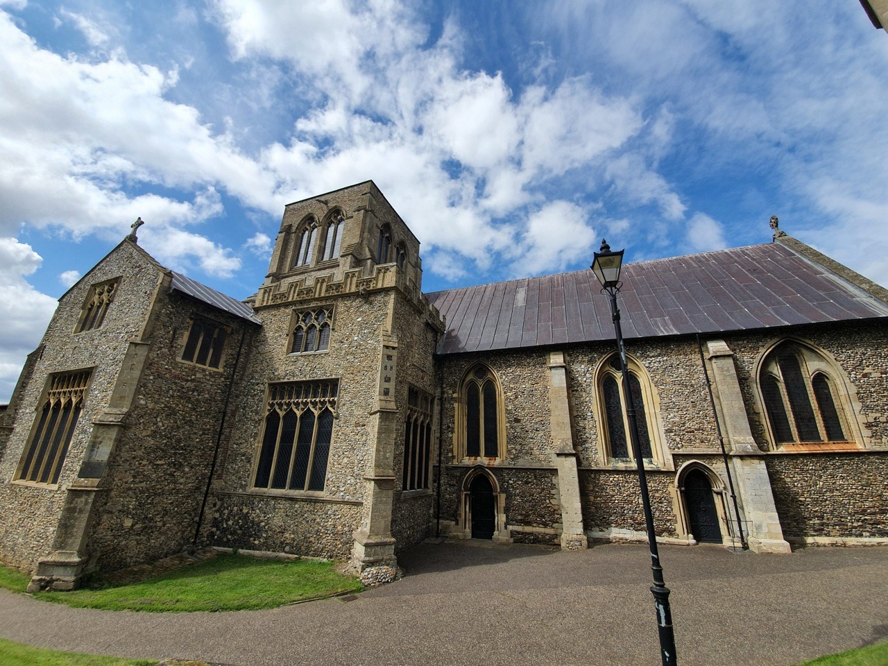
The north porch, which is now the main entrance to the church.

The south porch, which like its northern counterpart, also has a room above it.

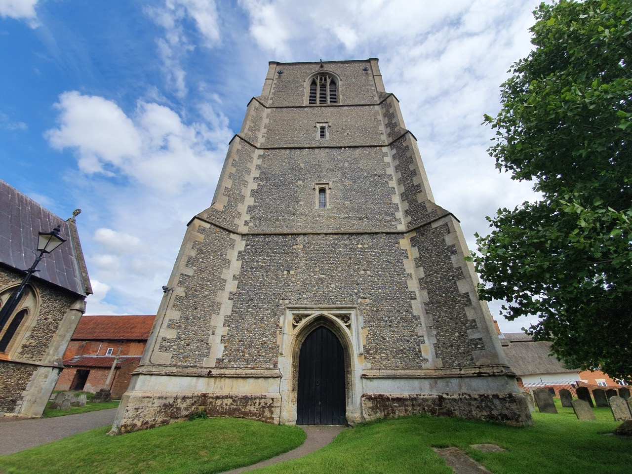
The twelfth-century round tower, although that top section is later, probably from the thirteenth century. The tower is listed as being older by some sources, perhaps as early as the ninth century. Whatever its age, it is likely that there was a church here in around the ninth or tenth century.
Unfortunately, as with many churches at the moment, the interior wasn’t open to visit, so that’s yet another building that I’ll have to return to when some form of normality returns.
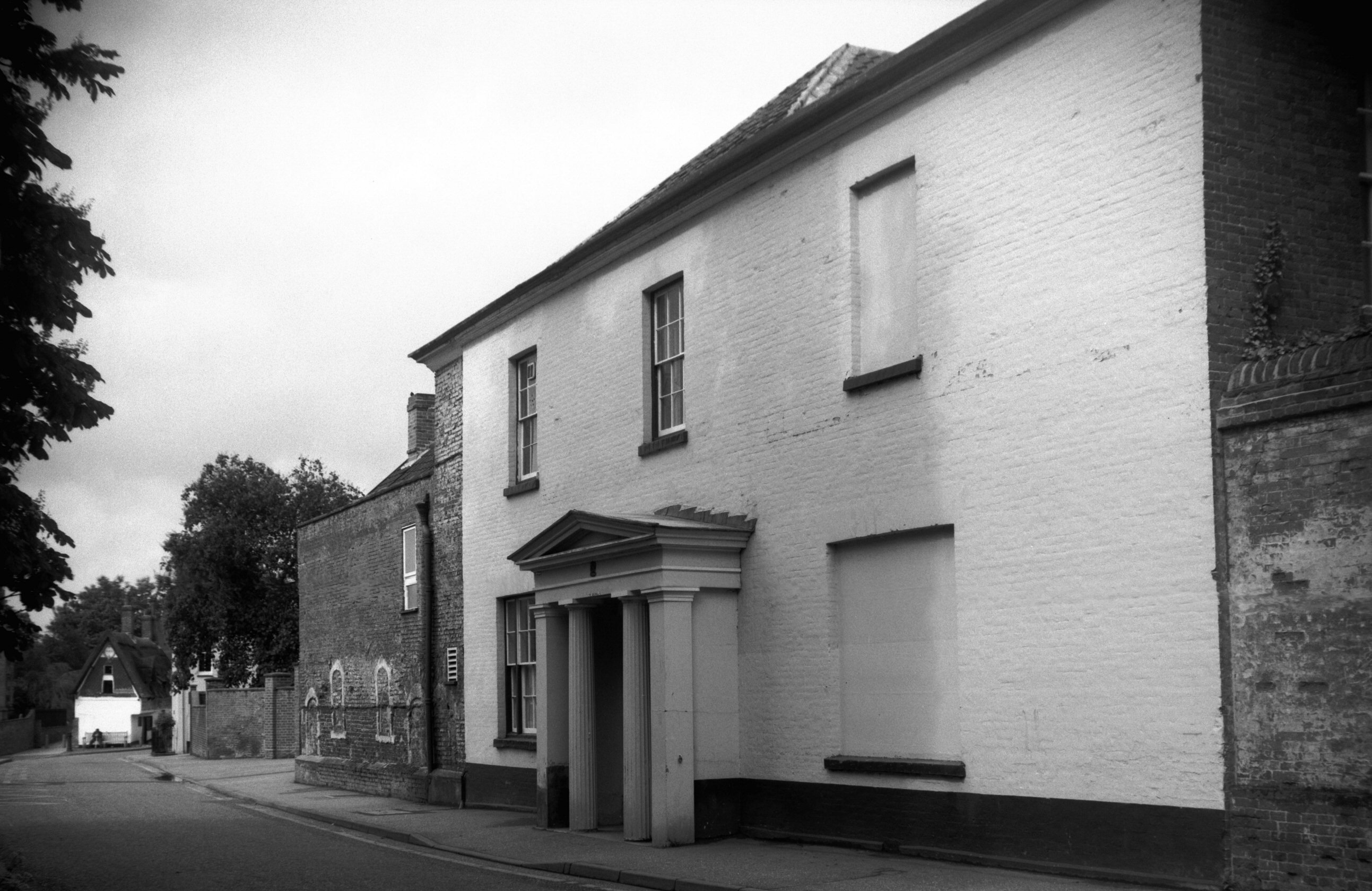
The church in 1955.


