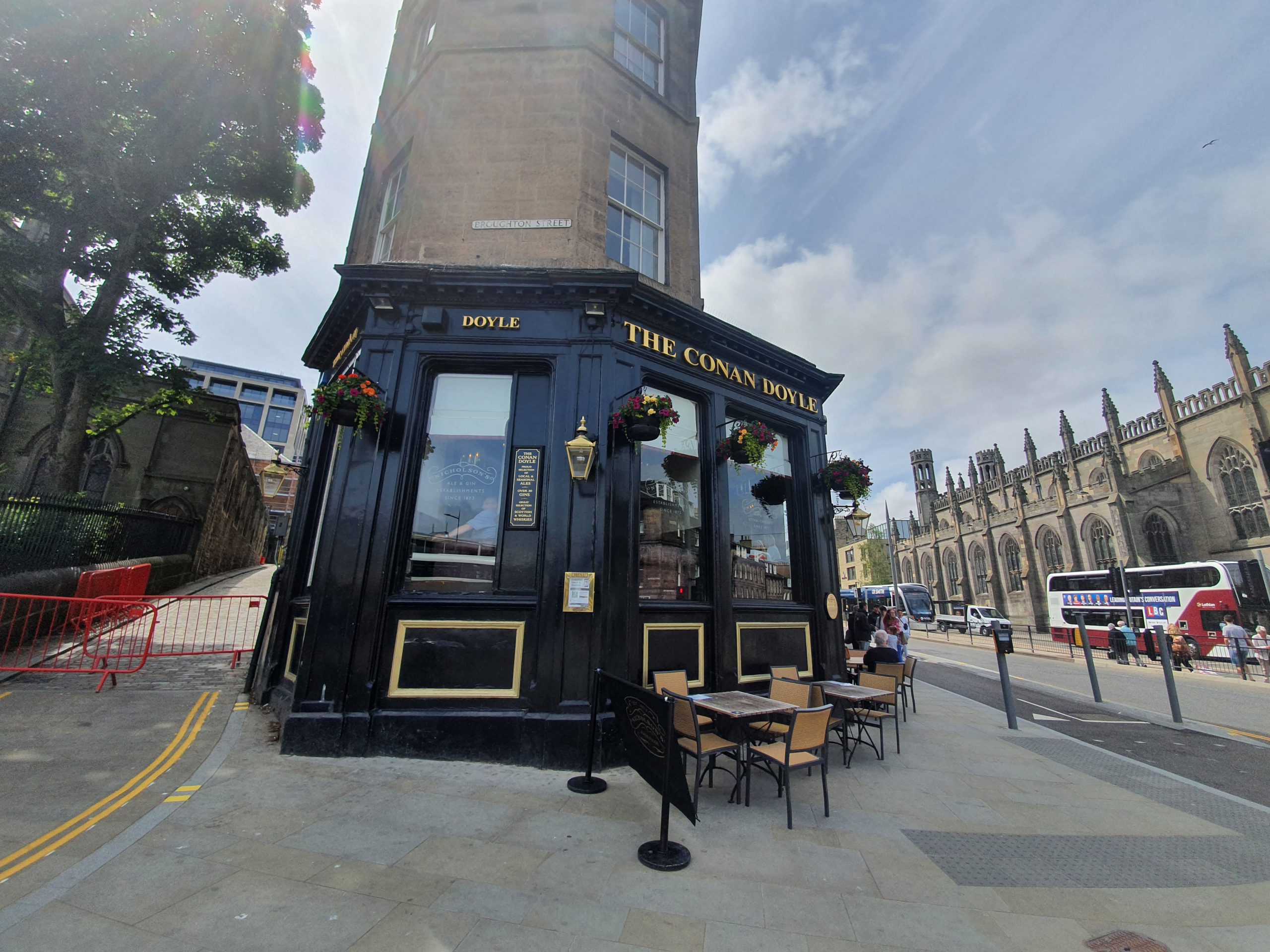
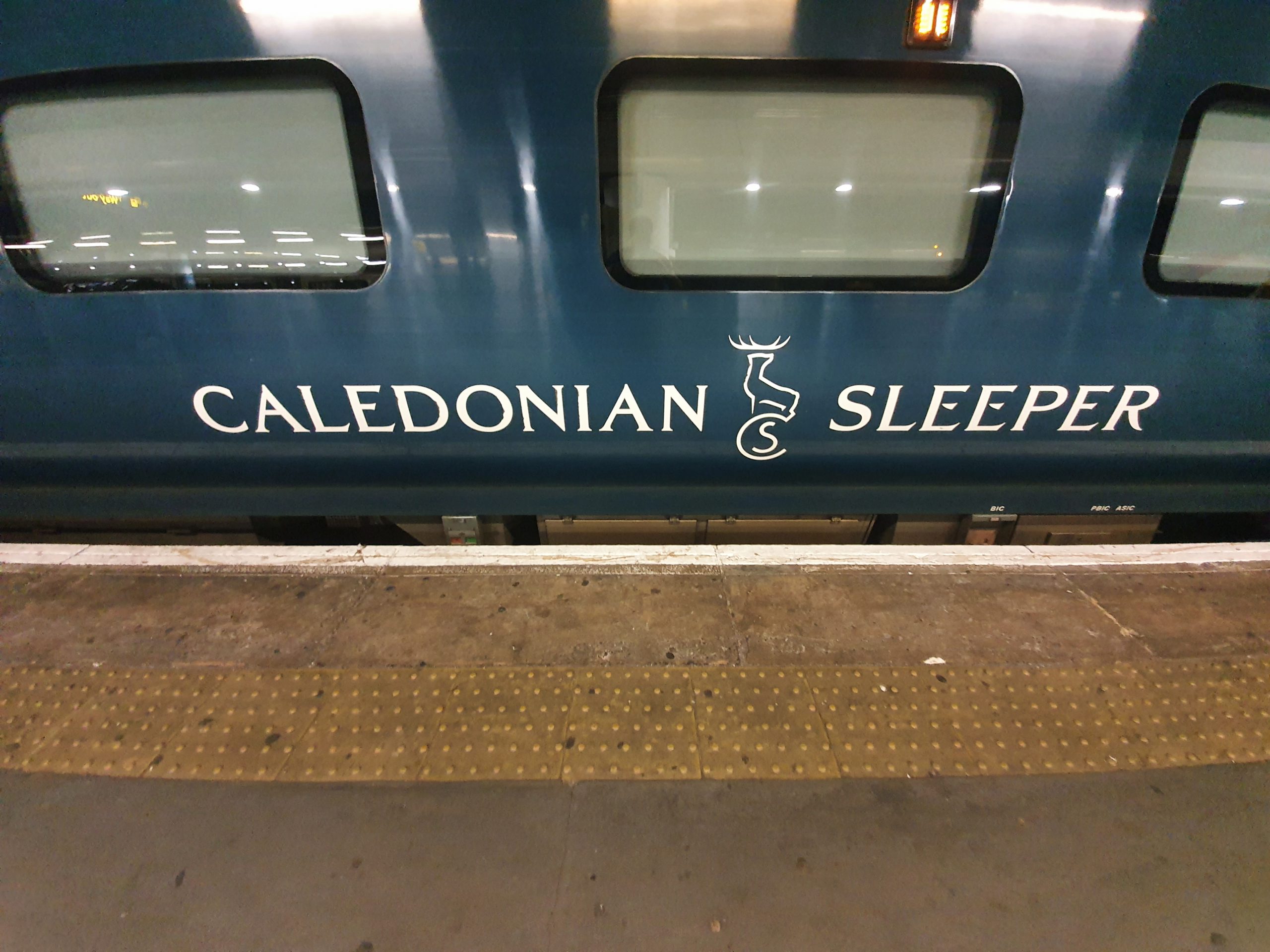
I needed to get to Edinburgh this week and I looked at numerous different options. Annoyingly, it was just as cheap to fly, but it’s not very environmental to fly domestically and so I decided against that given there were alternatives. There were some cheap fares to get between the two cities, but then I remembered the sleeper service which operates from London Euston.

The concourse of Euston railway station. Fun fact, this dreadful station was actually designed to have no seating to prevent people from loitering. Welcome to the world of British Rail customer service. This decision was later reversed and seating has been installed, but there isn’t much for what is a substantial mainline station. Anyway, I’ve digressed already.

The handy thing I discovered is that the sleeper service can be boarded over an hour before its departure. The platform number was announced, so I thought I might as well board. I’m always early for flights, trains, coaches and indeed everything, so this was all quite handy.

Here we go, departing from platform 15.

The train looked modern and clean. I hadn’t realised that the service didn’t operate for a couple of weeks in June due to a strike over staff pay. I’m not getting involved with commenting on that, but that’s a very disappointing state of affairs that must threaten the viability of a service like this moving forwards.

I must admit that I found all this quite exciting, probably evidence that I need to grow up. A member of staff met me at the end of the platform just to check that I was in the right place and they then directed me towards a steward. He checked my ticket and then guided me towards where I needed to go on the train.

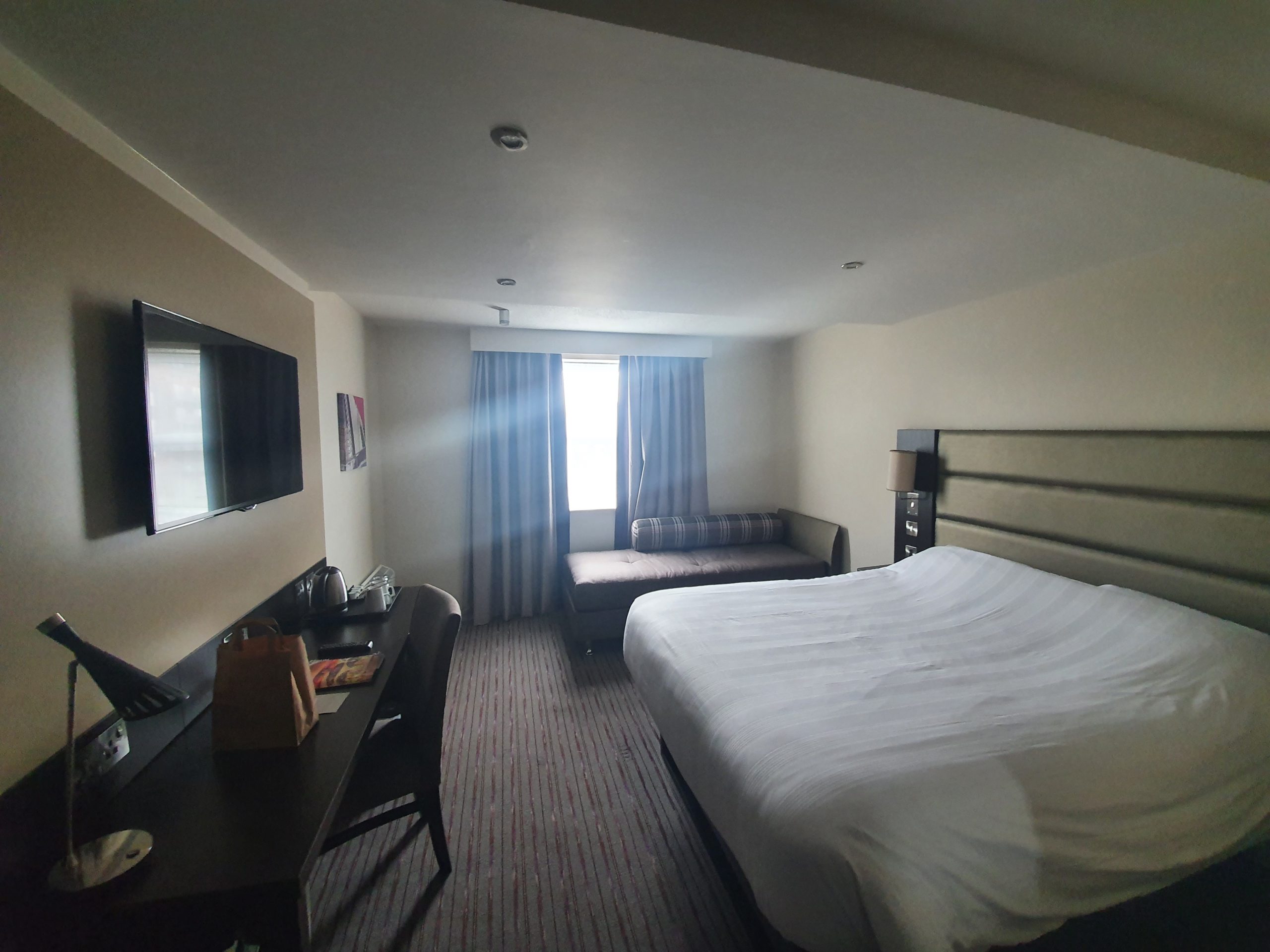
I had just booked a seat rather than a cabin, as I’m not made of money…..

One of the carriages with seats, which in normal times might feel a little packed. There was a policy though of having just one person per row, and no-one directly behind, which made arrangements feel really rather spacious.

I was pleased to get the front seat as that had quite a sturdy little desk arrangement. There was a guide to the service on the table, as well as a little amenity pack.

Some instructions on how to get to sleep. I’m not sure about this avoiding heavy food, avoiding alcohol, avoiding coffee and avoiding phones is useful, I’d rather just stay awake.

There is an eye mask and ear plugs included in the pack. There wasn’t really much noise in the cabin, although a couple of English football fans going to Carlisle were politely told to shut up by the steward. He didn’t actually say that directly, he suggested that they go and sit in the buffet car, but it had the required effect.

There’s a safe above every seat, although they’re not particularly spacious. I just shoved my bag on the floor, it’s currently so heavy that anyone trying to pinch it would just assume I’d padlocked it to the ground. The carriages are professionally fitted out, there’s been some considerable money spent here over the years. The quality of the interior was better than I had expected, so although it’s not Amtrak, it’s really not too bad at all.

A steward (that’s the name they use, not one I’ve decided to describe them by) came by to offer everyone a menu, with the pricing seeming to be quite moderate.


I don’t normally feel the need to take photos of toilets on trains, but on this occasion I thought that I would.

I slept reasonably well and woke up to discover that we were in Carlisle. A few passengers alighted there and I don’t think we picked anyone up. I suspect that I would have been quite uncomfortable if the train had been full with passengers, as there isn’t really enough space to stretch out (not that I ever worked out the reclining function, since I don’t use it). Covid-19 doesn’t have many advantages, but this is one of them.

This is, I believe, the River Sark, which is the border between England and Scotland. I was quite pleased to be able to get this photo as the train does move at quite a speed.

There was a screen in front of me informing me of the train’s progress. Carstairs is a relatively small location, but it’s where they faff about doing something with the train and it heads back out in the other direction. The train operates on the West Coast Mainline, although it can also be diverted to the East Coast Mainline if engineering works require.

As we approached Edinburgh, a plan of the railway station appeared on the screen. I thought that this was really quite useful. I understand that it’s possible to stay on the train for an extra hour or so, to allow for some extra sleep if required, but I had the need to find some snacks at the railway station.

And safely in Edinburgh Waverley, with an engineer jumping out to fix something (or just to have a play on the track for all I know).

That was really quite lovely as an experience. The price wasn’t the cheapest, at just over £60, although it meant that I didn’t have to get any accommodation for the night. As is usual, because I’m never in a rush I was hoping that the train might be 30 minutes late into Edinburgh, as then I’d have got half my money back. Unfortunately not though…..
The service was professional throughout, the stewards were helpful and the train was on time in and out of every stop. I’m sure that the cabin option is much more comfortable (but it’s also much more expensive), but I got sufficient sleep and would use the service again. I just hope they sort out this strike action, as if staff keep going on strike (for whatever reason) then the train is perhaps in danger of being withdrawn forever. As it stands, there are just two sleeper services in the UK, the other one is the Night Riviera which goes down to Cornwall. Anyway, I’m very pleased that I tried the service.