
Part of my Streets of Norwich project….

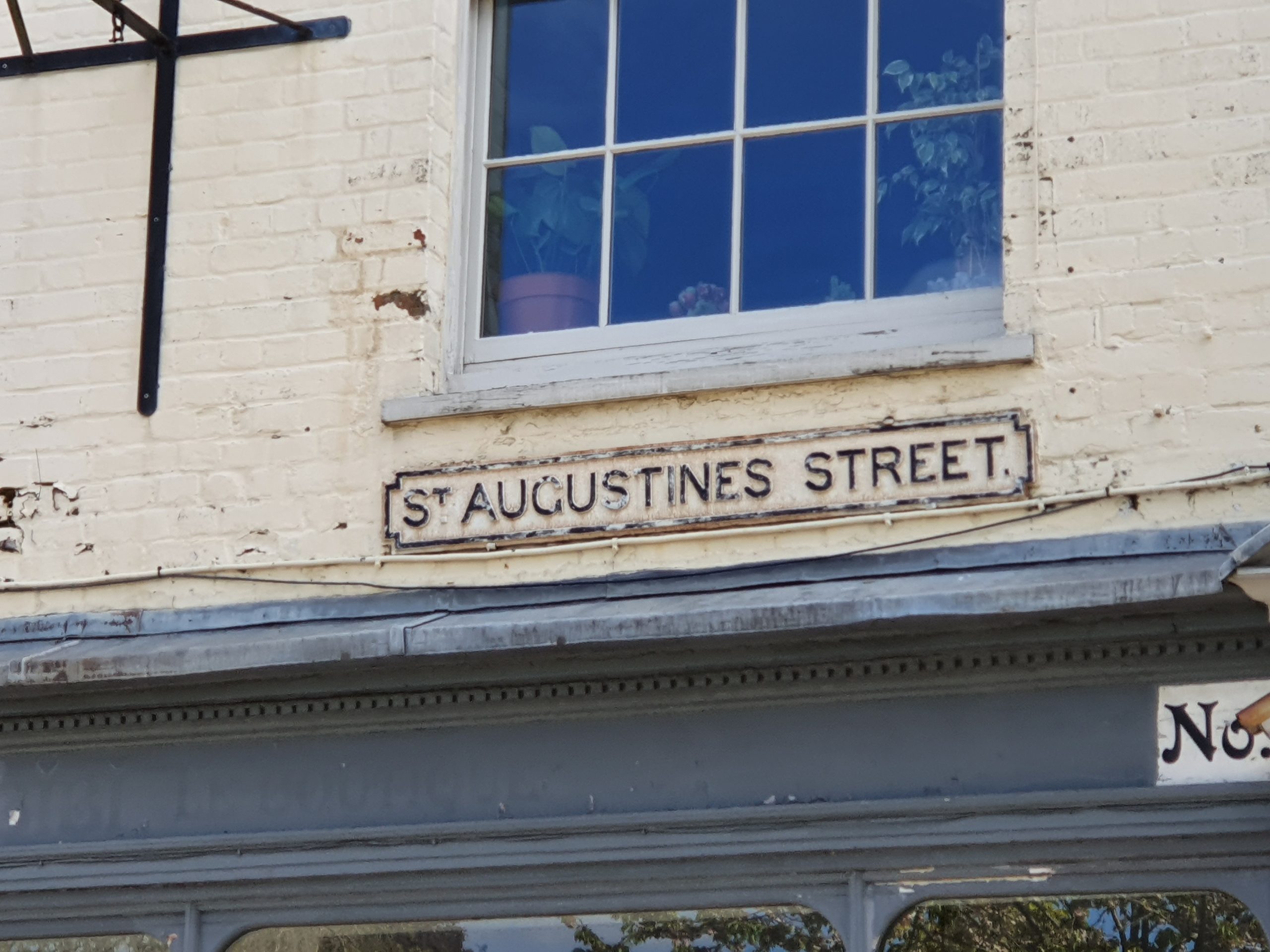
This is how St. Augustine’s Street looked at the beginning of the nineteenth century. Starting in this post just with the buildings on the west side of the street.

The road starts with St. Augustine’s Church, but more on this in another post as I went on a tour of this rather lovely church and have plenty more photos. But, what is perhaps of most obvious note about the building is its brick tower, which dates to the seventeenth century and is the only one of its type in Norwich.

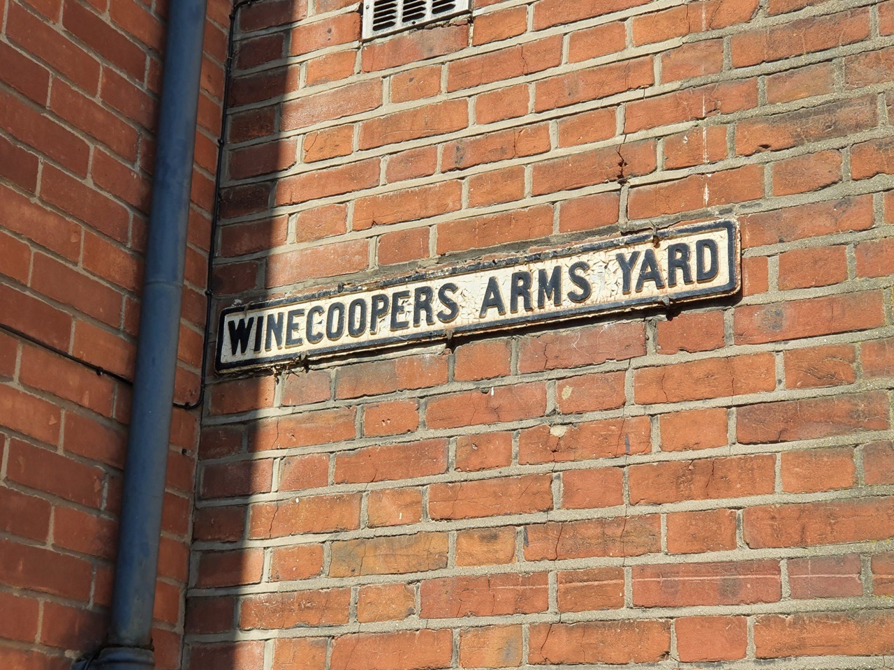
This is the entrance to Winecoopers Arms Yard, the building that juts out is the former pub of the same name (without the word yard at the end obviously). The buildings on the far left, next to the trees, are mostly all listed and were constructed in the early nineteenth century as shops and residences.

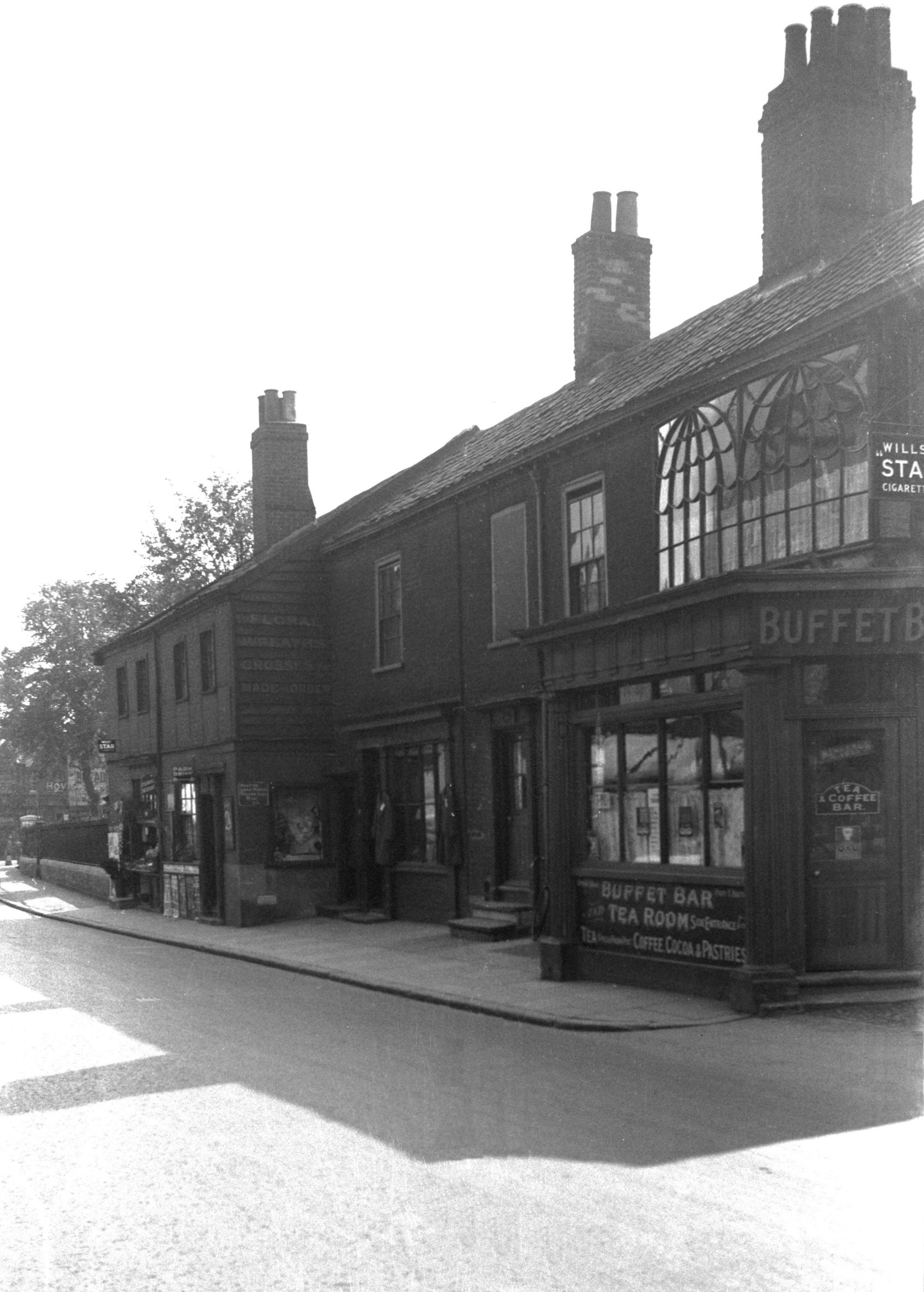
The building on the right-hand side (and indeed those attached to it along the street) are listed, as they’re seen as important examples of early nineteenth shopfronts. The corner building itself was once the Sussex Arms public house which traded from the 1850s until it was closed by Bullards in 1963.

The building in white was the Royal Oak public house, the pub sign was once where there’s a stretch of white wall which looks like it could have a window. The pub had started trading in the late eighteenth century and survived until the late 1960s, when it was converted into a residential property.

Stretching into Bakers Road, this is the side of the Staff of Life public house. It was opened in the 1830s as a bakery and pub, remaining open until 1971, despite being damaged during the Second World War.
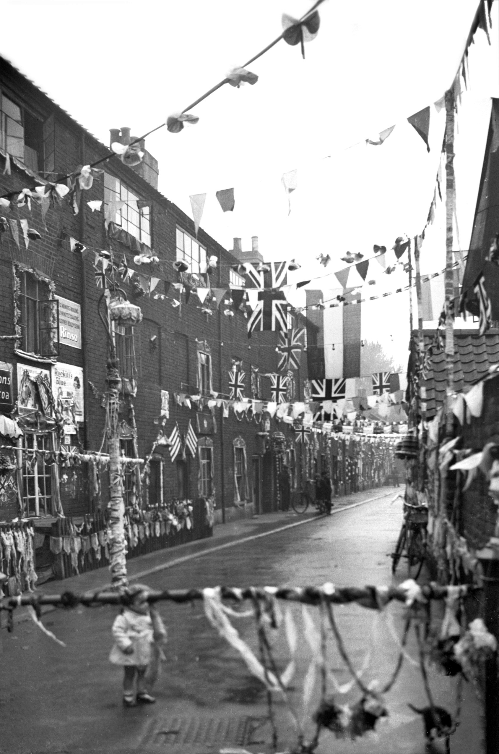
Not much has really changed on this side of the street, the buildings have changed their uses, but most of them have survived. Some of the yards have been closed off, but again, many of the structures in them remain. The element that has changed the most is that this is no longer an upmarket shopping street, as it was split off from the main shopping area by a clumsy road development that lost Botolph Street. The tone of the street changed and most of the shops closed and the area didn’t have the best of reputations.


