Category: Norfolk

  • Lakenham – Name Origin

    Lakenham – Name Origin

    Following on from our walk which briefly went across Lakenham.

    The Concise Oxford Dictionary comments on this town name:

    Lakenham, Norfolk. Lakemham in Domesday Book, Lakeham in 1212, Lakenham 1247. Probably Laca’s Ham.

    So this is Laca’s village, a similar derivative to Lakenheath, which is the landing place of Laca’s people. It may be that Laca was just a local leader, but it’s probably more of a ‘tribe’ of fen-dwellers. With very little change to the place name over the last 1,000 years.

  • Eaton – Name Origin

    Eaton – Name Origin

    Following on from our training walk for the LDWA 100, Eaton is a common place name around the country. The Concise Oxford Dictionary comments on this name:

    Eaton, Norfolk. Ettuna in Domesday Book, Etona in 1147, Eton 1232.

    The dictionary does a job lot of explaining the word origin for all the places names in the country, as it’s a simple one, meaning ‘town on a river’.

  • Route of Ickneild Way Around Mulbarton and Swainsthorpe

    Route of Ickneild Way Around Mulbarton and Swainsthorpe

    I posted earlier about how the Norfolk and Norwich Archaeological Society have made back issues of their journal available on-line. And, there’s an article by JC Tingey that was published in 1900 which gives some ideas about the route of the Ickneild Way across Norfolk.

    The Ickneild Way is an ancient trackway that ran from Wiltshire to Norfolk and although some sections are still major footpaths, such as the Ridgeway, some stretches are lost. Tingey’s map of where he thought the trackway went in Norfolk is interesting, as we (Nathan and me, not Tingey and me…..) walked some of this route a couple of weeks ago.

    This is the route we took between Mulbarton and Caistor St Edmund.

    And this is the map proposed by Tingey, and we followed the left-hand section of the red line, leaving the route as it can be seen the path is no longer there. But, the author has a good point, there is a missing stretch of path that connects two other sections. It’s not something that I’ve thought about before, but it’s an interesting theory.

  • The Stone Bridge at Horse Fair

    The Stone Bridge at Horse Fair

    I posted earlier about how the Norfolk and Norwich Archaeological Society have made back issues of their journal available on-line. Meandering through a few issues, the Reverend W. Hudson wrote in 1884 about the stone bridge at Horse Fair. He noted:

    “Of the hundreds who in the course of a year make their way from Prince of Wales Road by St. Faith’s Lane into the Lower Close, probably nearly all could at once call to mind the old wall which skirts the road on their left; but scarcely one, perhaps, is aware that if he keeps close to the wall, at a point not far from where the wall bends round towards the open space called the Horse Fair, the ground is hollow under his feet, and he is in fact crossing over a bridge which once spanned a dyke which passed under the road”.

    Over 135 years later, that road layout hasn’t changed and I’m one of no doubt many who wasn’t aware of this bridge either.

    The full-sized map is visible by clicking on the above image, and I had no idea there was once a bridge here. Prince of Wales Road had just been laid out at that stage, hence why it’s pencilled in.

    The full article is available at https://archaeologydataservice.ac.uk/library/browse/details.xhtml?recordId=3236503.

  • Norfolk and Norwich Archaeological Society

    Norfolk and Norwich Archaeological Society

    This is a really useful thing to do, the Norfolk and Norwich Archaeological Society have scanned and made available all the back issues of their journal, Norfolk Archaeology. So, that’s 44 volumes and 1361 articles. Most useful.

    The link is at:

    http://www.nnas.info/NABackIssues.html

  • Shotesham – St. Martin’s Church

    Shotesham – St. Martin’s Church

    This ruined church is in Shotesham St. Mary and it’s dedicated to St. Martin, having originally been constructed in around the eleventh century. Most of the current building, or what’s left of it, dates to the fifteenth or sixteenth centuries.

    Looking towards the tower from the east end of the church. Walking with my friend Rob, he mentioned how clear the sky was without any aircraft trails visible, which is quite right but isn’t something that I’d thought about.

    The walls are made of flint, with some brick dressing, and are surprisingly robust in the sections that remain. They’ve received some work recently to strengthen them, so hopefully they’ll last for some time yet.

    The church was abandoned in probably the seventeenth century and it had become derelict by the nineteenth century. Given how many other churches there are in the Shotesham area, even the Victorians didn’t feel the need to restore this one.

    The former roof line where the nave met the tower is visible, but the high quality of the construction is apparent at the top of the arch.

    Until a few years ago, this church was covered in ivy which had taken hold from the 1950s and had made it more difficult to visit and it was also causing long-term damage to the structure. The work to clean up the site led to the discovery in the south wall of evidence of the location of the holy water stoup. There are no gravestones visible, but the site remains consecrated and it’s in the care of Shotesham Parochial Church Council.

  • Shotesham – Name Origin

    Shotesham – Name Origin

    It’s been a couple of years since I’ve been to Shotesham and my visit today saw some warm weather. A bit too hot, but there we go. Anyway, the origins of the village name.

    The Concise Oxford Dictionary comments on this name:

    Shotesham, Norfolk. Shotesham in 1044, Scotesham in Domesday Book, Schotesham Omnium Sanctorum in 1254. Scott person, literally from Scotland or Ireland.

    The 1254 longer version of the name means Shotesham All Saints, but it’s impressive that the village had the same unchanged name nearly 1,000 years ago of Shotesham. The ‘ham’ means farm, homestead or settlement, but I’m not sure what Scots person exactly this is named after. I’m sure that whoever it was that they’d be surprised to see just what a legacy they had on the area.

  • Shotesham – Shotesham Rocket

    Shotesham – Shotesham Rocket

    Located near to the village of Shotesham, near to All Saints Church, is this sign which gives some history about why there’s a hole here.

    The depression, which is a little hard to make out here now because of the trees, was caused by a German V2 missile which caused damage to 43 buildings in the village. It was fired on 6 October 1944, the only such attack in the UK that day, and fortunately no-one was hurt during the explosion. As the sign notes, it’s not entirely clear what the Germans were trying to hit, but it’s thought that it might have been the Radar Station at Upper Stoke. So, it wasn’t a marvellously accurate attack, as that’s a few miles away.

    The rocket was fired from Rijsterbos in the Netherlands and it travelled at around 3,000 miles per hour and descended from a height of fifty miles. The rockets caused significant damage to the area where they landed, with craters being around twenty metres in width and eight metres in depth. If this would have been developed and used earlier in the war, its impact could have been terrifying as they were nearly impossible for the British military to be able to stop once they were fired.

  • Whitlingham – Name Origin

    Whitlingham – Name Origin

    Whilst on a roll checking the origins of place-names in the Concise Oxford Dictionary, the village of Whitlingham is defined as:

    Whitlingham, Norfolk. [Wisinlingaham in Domesday Book, Wicthlingham in 1206, Withlingham in 1254]. The ham of Wihthelm’s people.

    ‘Ingas’ (or ing) is the Saxon word for a group of people, whilst ‘ham’ means farm, homestead or settlement. I’m not sure if I’m meant to know who Wihthelm was, but I don’t. Although he was probably quite important if he had a little collection of followers. It does though help date the settlement, now best known for its lake and sewage treatment works (these two are separate locations, they haven’t merged them), to at least the Saxon period.

  • Panxworth – Name Origin

    Panxworth – Name Origin

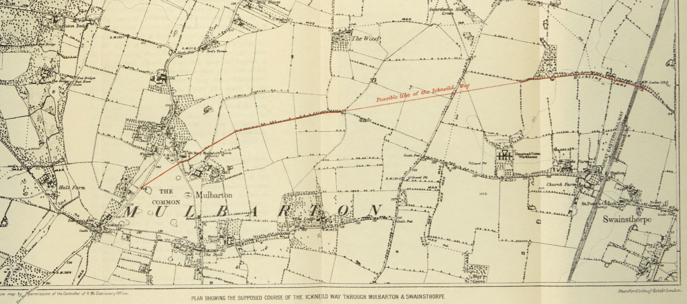
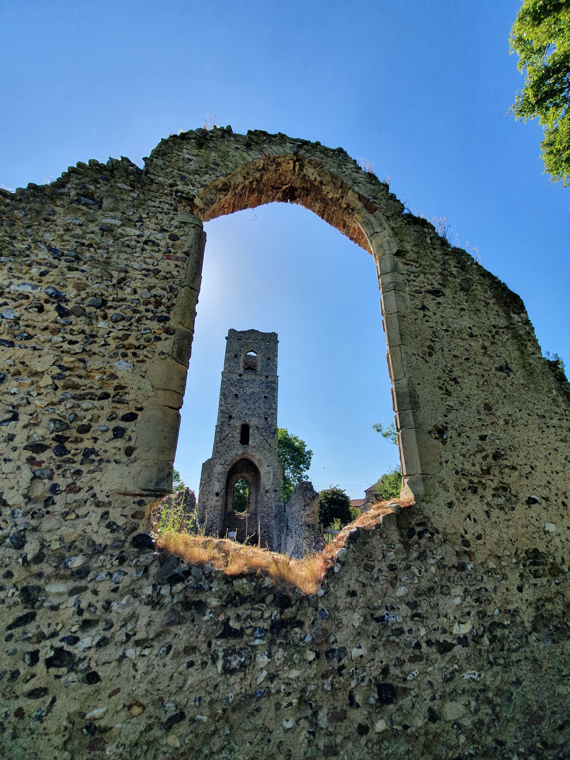
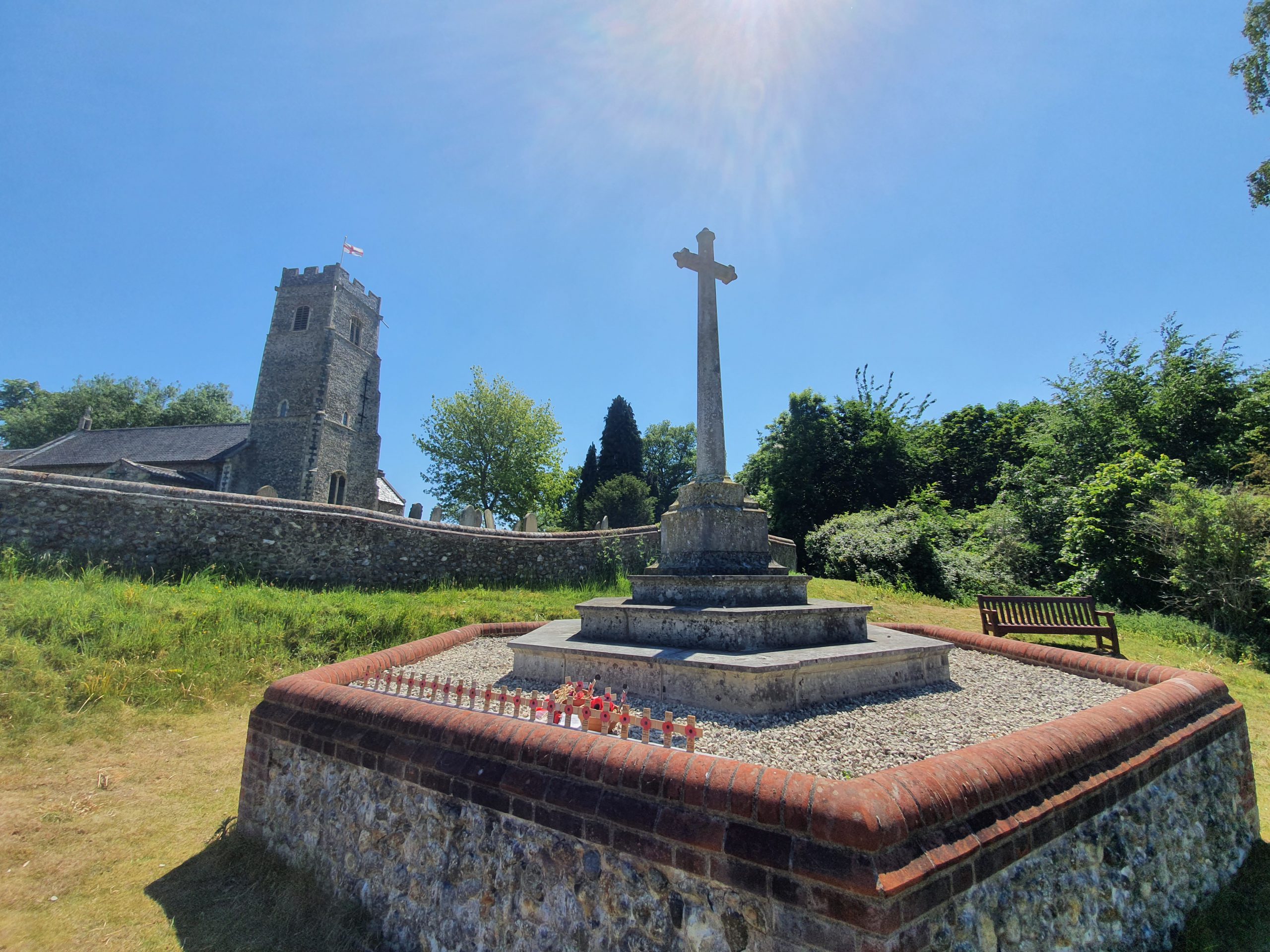
    I was reminded of the village of Panxworth as I visited it yesterday and I’ve long found its church quite intriguing. It fell into disrepair and was brought back by the Victorians who reconstructed the nave and since then it has been taken down again and just the tower remains.

    I still didn’t know where the word Panxworth had come from, but the Concise Oxford Dictionary also struggled to come up with an answer, noting:

    Panxworth, Norfolk. [Pancforda in Domesday Book, Pankesford in 1165, Pangeford in 1254] The only old English word with which the first element may be compared is panic, a kind of millet, a Latin loanword. Probably some other form of explanation should be sought.

    So, the second half used to make more sense, it was a shallow river crossing, or ford. Although worth is a different meaning, it’s from the Anglo-Saxon ‘worðig’, meaning an enclosure, so the village name must have changed in around the thirteenth or fourteenth century. The word ‘panic’ has a different origin to how it’s used today, it’s from ‘panus’ which means the ‘ear of millet’ in Latin.

    I’m not sure I got an answer to the name origins of Panxworth, but it’s probable that Panx was just a person and they’ve named the village after him. But, there’s something nice about it being derived from the word panic.