Although now hidden away in the middle of Broadland Business Park near Thorpe, this cemetery was once in a quiet and remote area near to St. Andrew’s Hospital. The hospital itself was opened in 1814, when known as Norfolk County Asylum, and it remained in use as a mental health hospital until 1998.

This area was used as a graveyard from 1859 until 1966, replacing another site that had been used for burials between 1814 and 1859. This original site had been a little erratic, with burials inside the confines of the main hospital buildings and all of the burial records from that time have been lost.

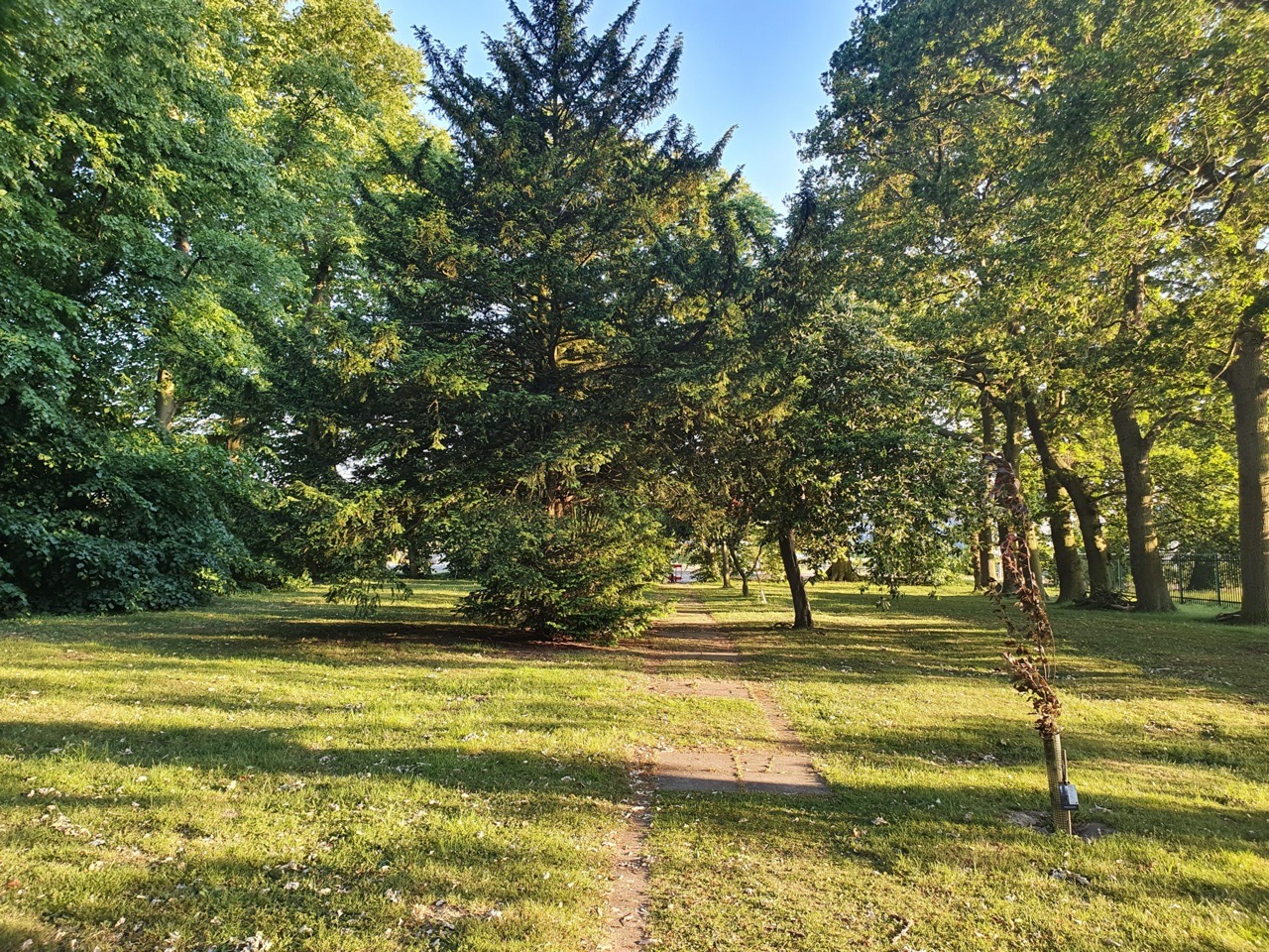
The trees give the area some solitude and there’s paving which winds to the memorial stone in the centre of the site.

The memorial, which is also in remembrance of the Polish Community, many of who came to the building during the Second World War when it was used as a military hospital. There are three Poles buried here, who are remembered with memorial stones. There was once a small memorial chapel on this site, although it has long since been demolished.

The text on the memorial, with over 1,400 people thought to have been buried here when it was a mental health institution. Tragically, the hospital board made a disgraceful decision in 1968, against advice, to flog off for scrap all of the metal discs which marked where the burials were located, including the three Poles. There are burial records and a map, so anyone could work out approximately where each burial is located, but unfortunately, nothing is now marked.