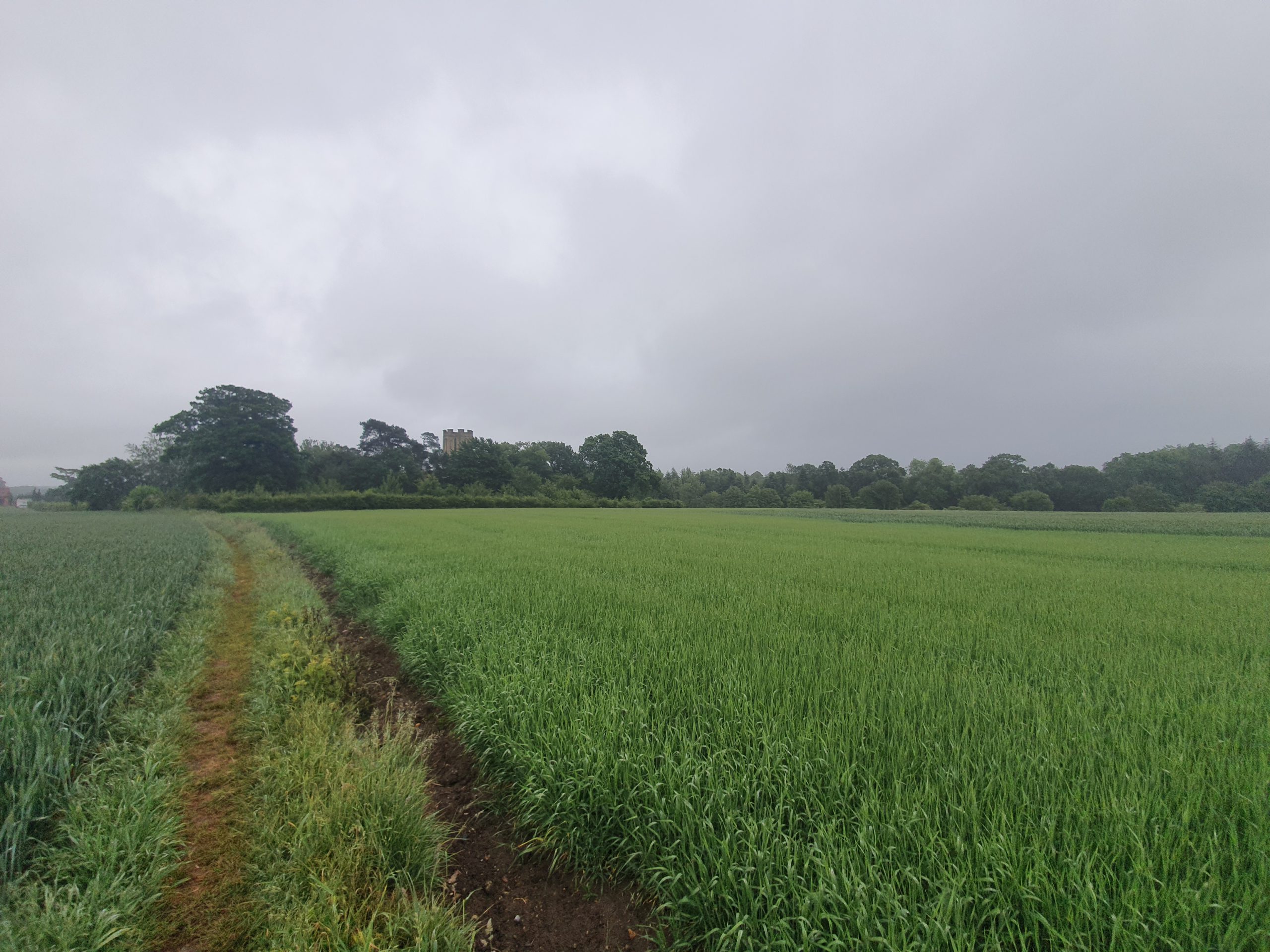
This is the secluded church of St Nicholas in Buckenham. Unfortunately, the churches are currently closed given the ongoing health issue, but it’s possible to peer inside at the boxed pews and otherwise quite empty interior. There’s not much else in the area of the church, although it is a short walk from Buckenham railway station for those who can navigate themselves onto one of the few trains which stop there.

The Norman tower, which was originally round and was later reworked to make it octagonal. That’s also an original Norman doorway and is in situ and probably wasn’t moved here from elsewhere in the church.

The entrance to the stairs within the tower.

The nave, which is the oldest part of the church and dates to the eleventh century.

The fourteenth-century chancel.

The north side of the church.

The east window, and this tells a story of its own. The church was deconsecrated in 1968 and was just left by the Church of England to a slow abandonment. Fortunately, it was taken over by the Redundant Churches Fund around ten years later, but there had been vandalism and destruction during that time. One of the oldest bells in Norfolk was stolen and much of the Victorian stained glass had been smashed. The Churches Conservation Trust gathered up what glass they could and they’ve reset it in the upper part of the window, but the lower part is now just plain glass. This could though have very easily had a different fate, perhaps something more like what happened at Bixley.

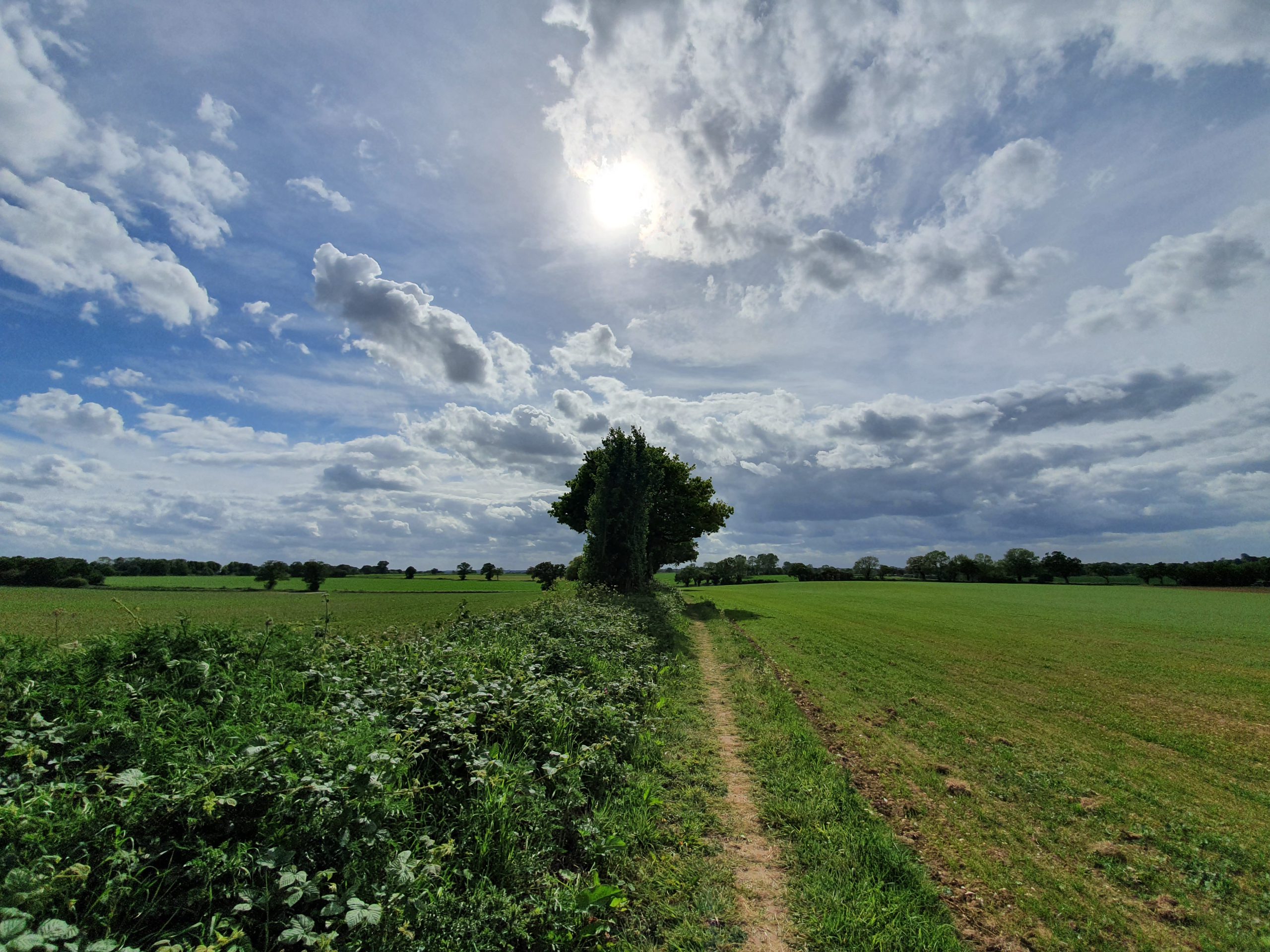
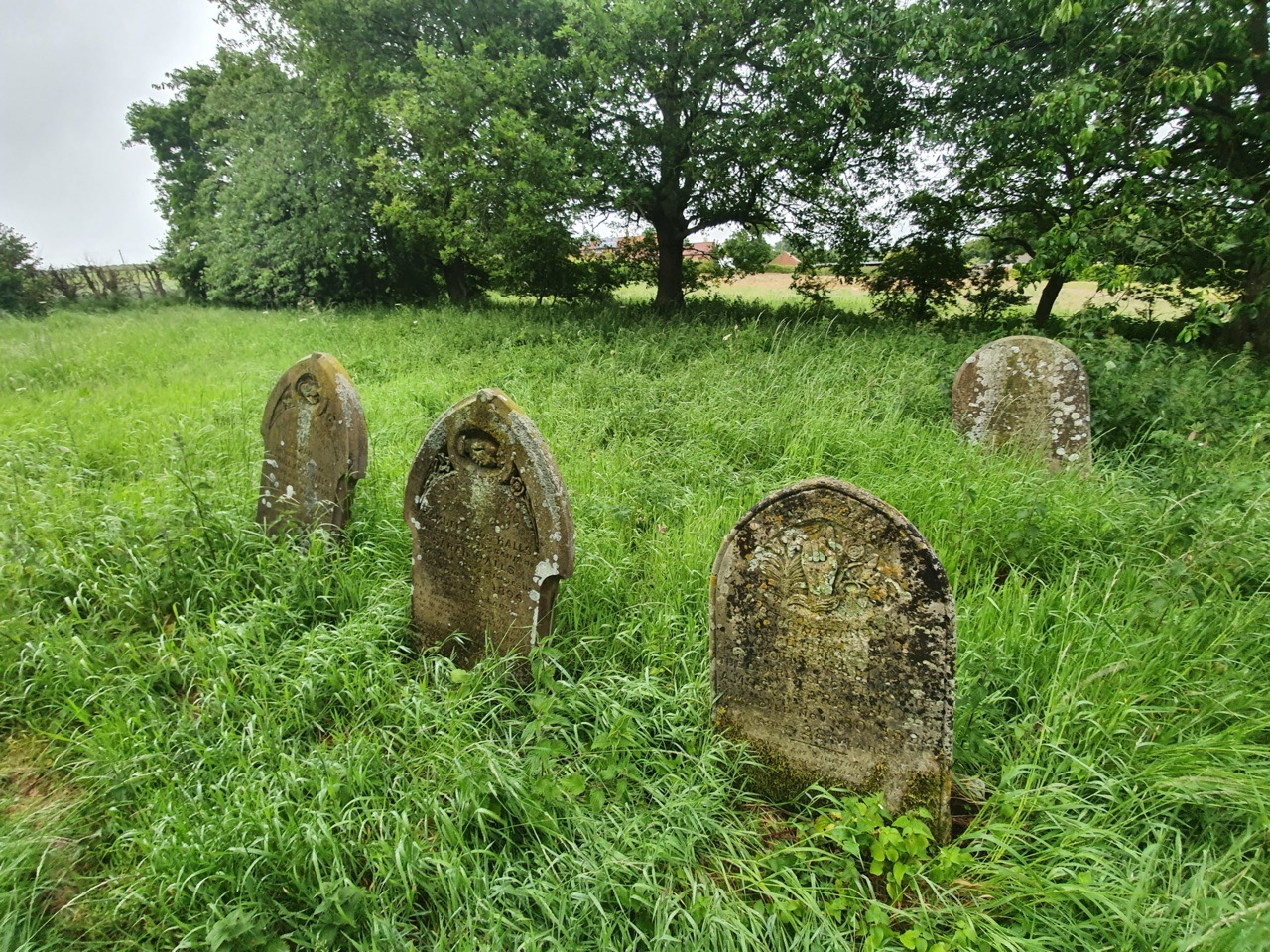
It’s difficult to know whether this is a deliberate wildlife garden approach to their graveyard, or whether they just haven’t been able to cut the grass recently. The village of Buckenham depopulated over the centuries, so there hasn’t been much of a congregation to support it for some time. The church was remodelled in the 1820s, which gives it a different feel to the much more brutal and comprehensive restructurings of the later nineteenth century, although a guide from the beginning of the twentieth century called the changes “fitful and destructive”. Numerous Roman remains have been found in the area, suggesting some form of Roman encampment locally, likely because there was a ferry site nearby.