
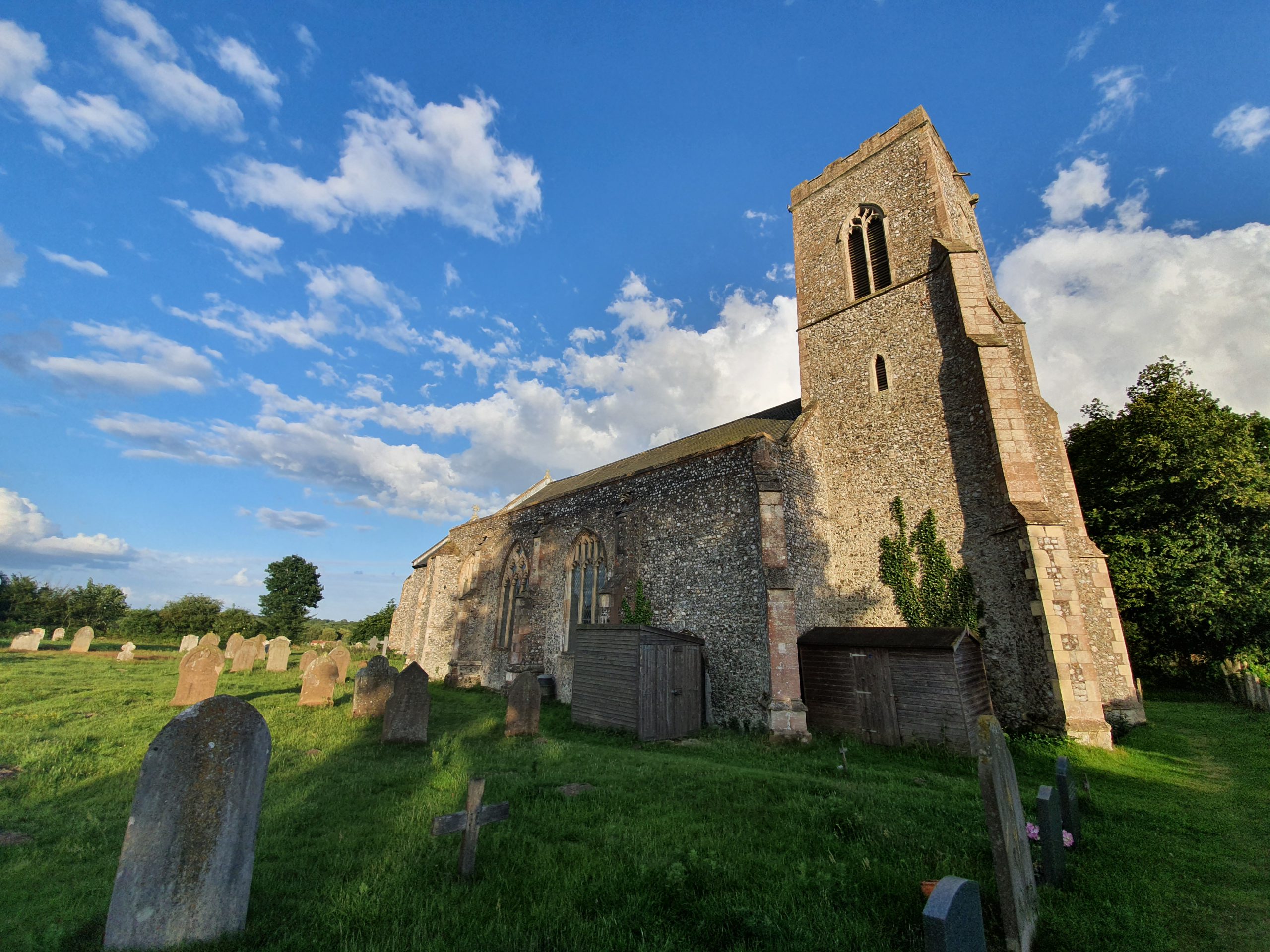

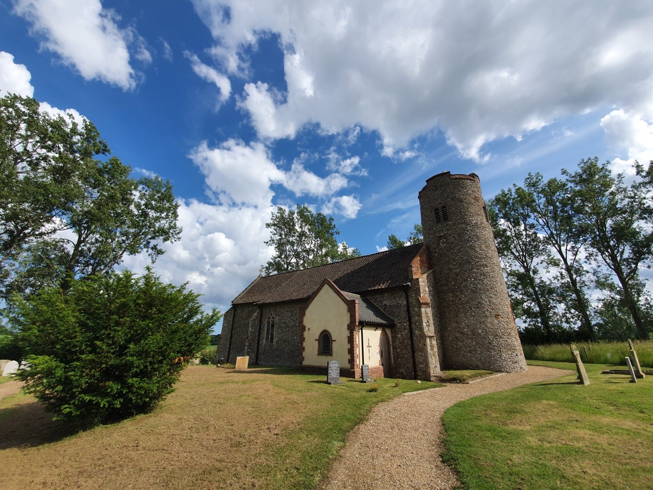
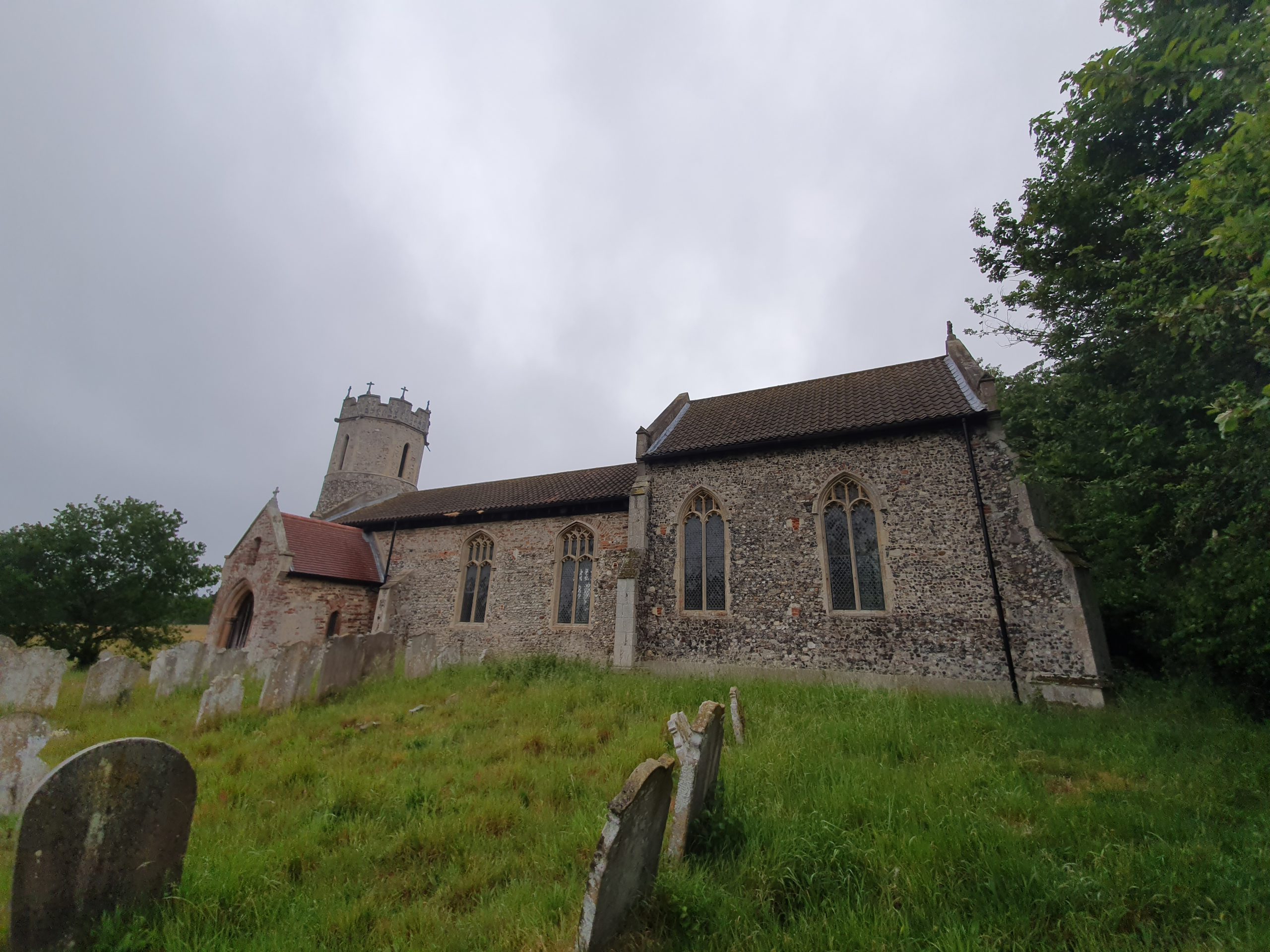
St. Michael’s Church is strangely detached from the rest of the village, but on this occasion, it’s unlikely that the settlement has moved much, rather the church is on a slightly elevated hill platform.

The tower, which dates from the early part fourteenth century, is the earliest section of the current church, with the nave being added later on during the fourteenth century and the chancel was constructed in the fifteenth century. There was though likely a Saxon church that existed on the site before work started on the current building.

The porch was added in the fifteenth century, with the more modern set-up unfortunately masking the medieval wooden door.

The south side of the church, with the priest’s door visible between the two windows. The church has received a grant in recent months from the Norfolk Churches Trust which will allow for some repairs to the guttering and also work to remove a flock of pigeons that has been causing issues in the tower.

I’m unsure why the east window has been partly bricked-up, I assume it was for structural reasons.
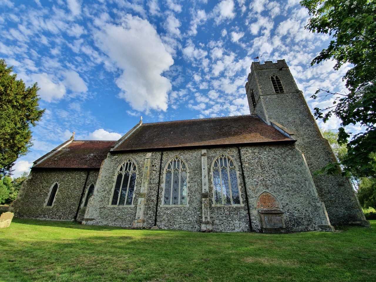
I’ll return to the church at some point when it’s likely to be open (I’ve been able to do that), with the interior being of note, as there’s a mauled about rood screen which was heavily, and badly, restored at the beginning of the twentieth century which is worth seeing. The pulpit has some medieval carving work to it, there’s fifteenth-century stained glass and the font is of a similar age, all along with numerous memorials of interest.


