
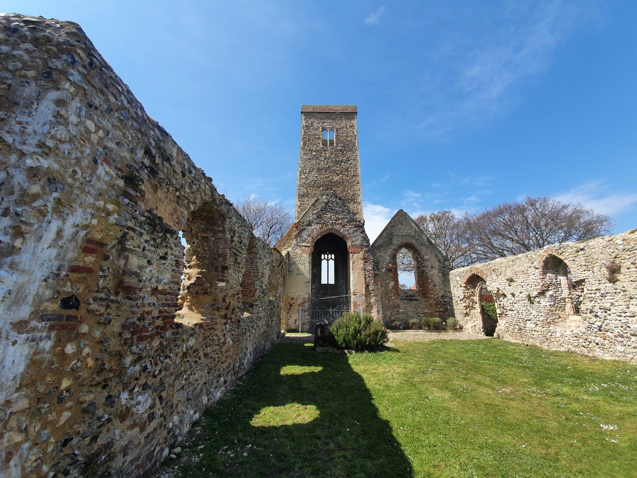

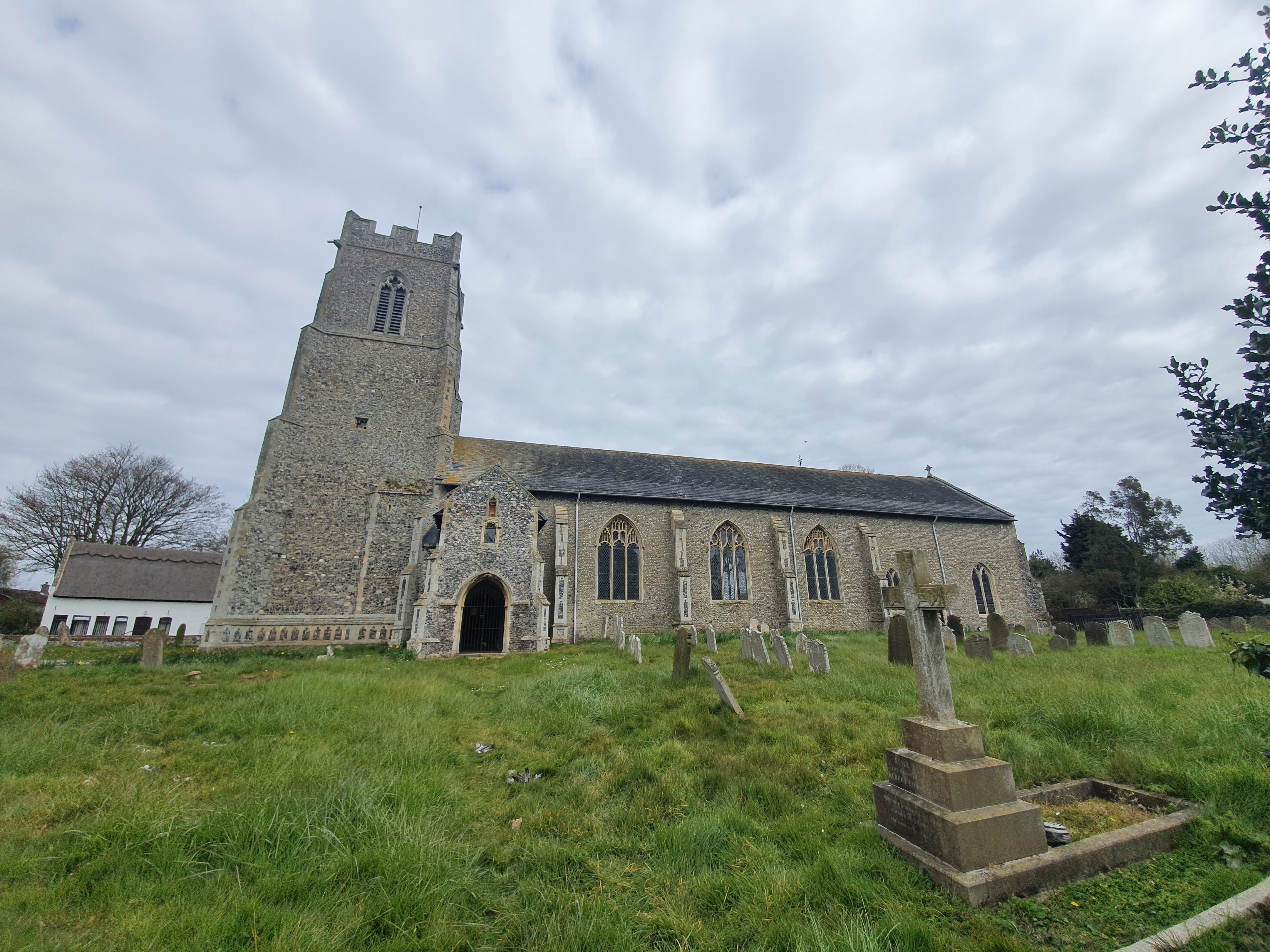
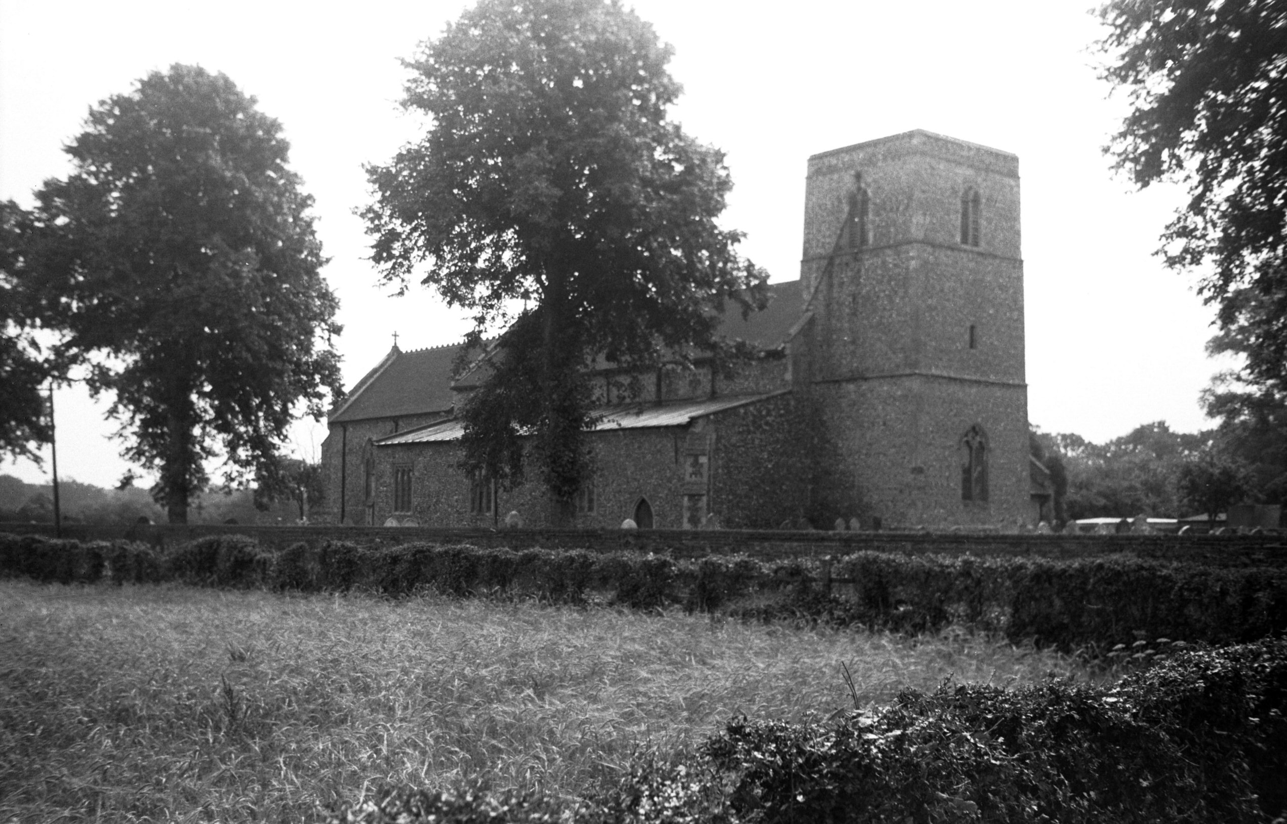
This is the ruined church of St. Margaret’s in Norfolk, although until 1974 this was actually in Suffolk (they moved the county boundaries, not the church). What remains of the structure is primarily from the fourteenth century, but there was an earlier church on this site, from somewhere around 1050 and there’s some documentary evidence that there might have been a wooden Saxon church here as well.

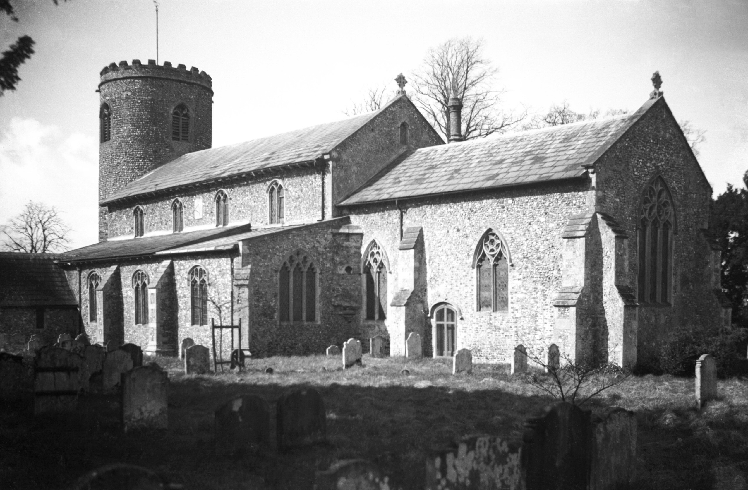
The church was lost in 1865, following a devastating fire. Smoke was spotted coming from the church shortly after the congregation had left from their service, but the fire took hold quickly and there was little that they could do to save it. The thatched roof was ablaze and was chucking lumps of hot thatch on those below (which wasn’t ideal), although huge attempts were made to save the organ from within the building. The organ had been presented to the church by Mrs Orde of Hopton Hall, but it was soon realised that they couldn’t fit it through the porch and so efforts were abandoned quickly.
The local press noted that:
“The fire originated either from the overheating of the stove, the funnel of which led through the roof, or from a spark lighting on the roof from the pipe, and igniting the thatch”.
Following the fire, it was decided not to repair the structure, but to instead build a replacement church nearby with the £500 insurance money. The decision to move the church was to ensure that it was located nearer to the centre of population that had built up, although it seemed a shame to abandon a site that had remained in religious usage for over a millennium.

It is only recently that the site has been tidied up and made secure so that people can visit and walking inside the surviving structure. They’ve done a really good job here, they’ve added benches, information boards and give the whole site a peaceful feel rather than the huge “keep out” signs and fences that were here for decades. George Plunkett has a photo of the site from 1998.

Inside the church, looking towards the tower.

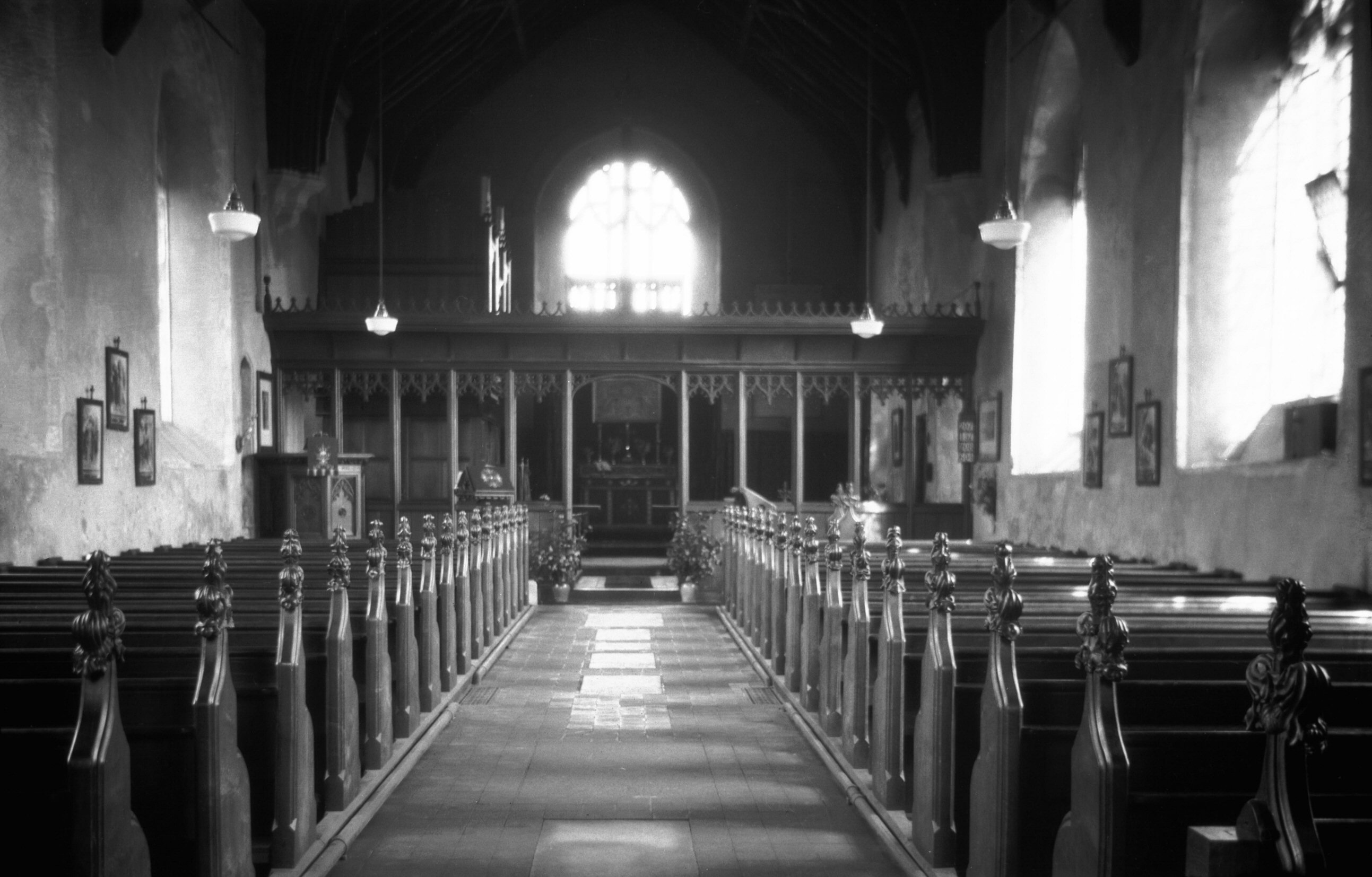
Inside the church, looking towards the altar and chancel.

The remain of the porch. During the restoration work on the church the archaeologists found 29 pieces of medieval floor tile, 2 fragments of roof tile, an early brick fragment and a Caen limestone sundial fragment.

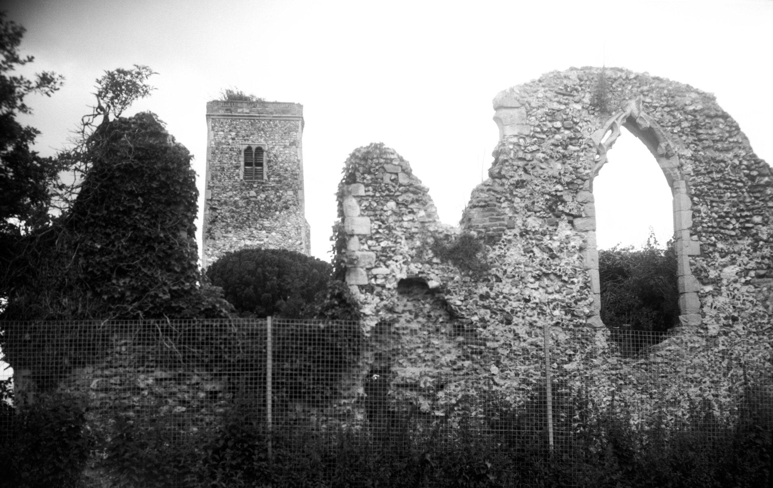
A blocked doorway in the base of the tower.

The tower section is still closed off, but it’s still in surprisingly decent condition given what its gone through. The tower is likely a little later than the rest of the church, dating from the early fifteenth century.

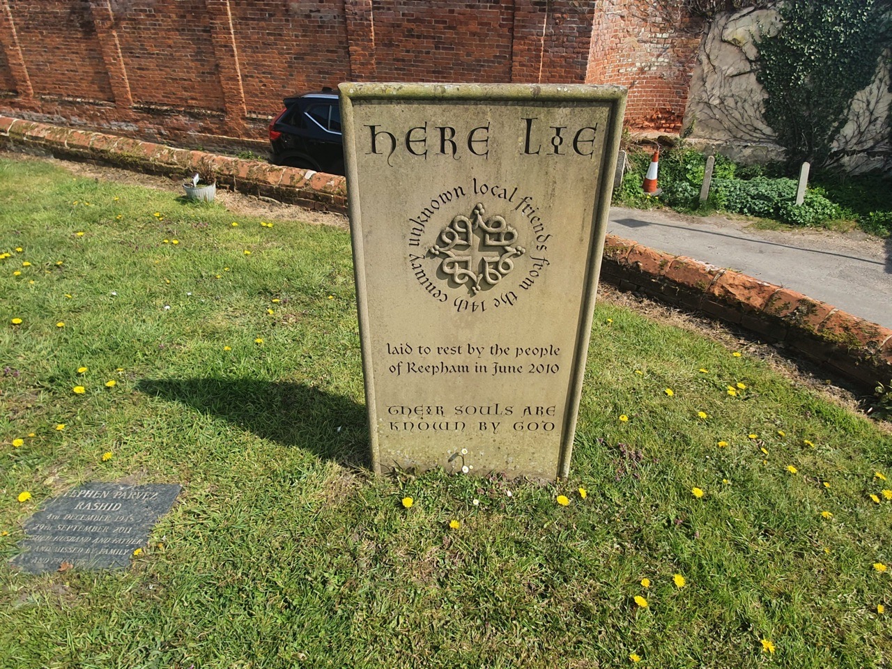
Although the destruction of old buildings is unfortunate, it has though allowed the history of the church to show through in other ways. The location of old niches, stoops and piscinas has become more evident, although most of the memorials and tablets were destroyed during the fire.

The remains of an old window at the chancel end of the church.

The base of what I assume were the rood stairs, although there appears to have been minimal other separation between the nave and the chancel.

A rather beautiful plaque, which reads:
“Be still, for this is sacred ground,
A place to stand and pause. Reflect
Upon the pathway here
The lesson learned, the gifts received
Be still, and listen to God’s voice
That sings a song of unity,
Blessing the journey still to come
With love and deep humility”


