Category: Havering (Borough of)

  • London – Havering (Borough of) – Upminster – Upminster Park

    London – Havering (Borough of) – Upminster – Upminster Park

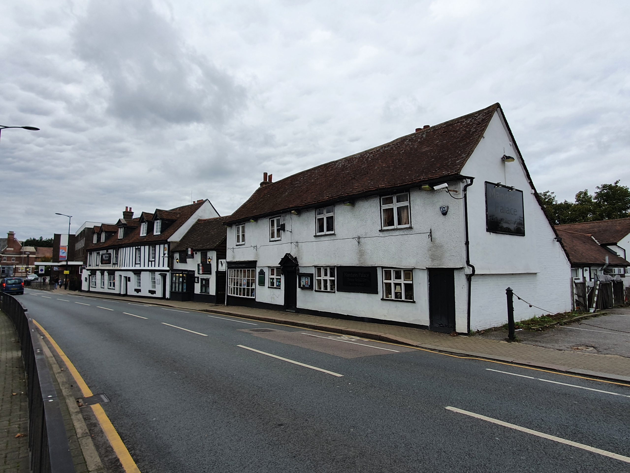
    I’m not usually too engaged with parks, but this one has an interesting backstory which is explained on this information board. In short, this was formerly land belonging to St. Laurence’s Church and the monies from this supported the parish. As the town of Hornchurch was increasing in population size exponentially from the 1920s, the authorities thought that it was probably best to get some space sorted out for a park.

    The information board suggests that there was a little argument between the Church Commissioners and the town when the sale was talked about in 1927. However, in 1929, the sale was completed and Hornchurch had a lovely new park. It was kept open during the Second World War and some air-raid shelters were constructed, although these were taken down in 1948 to build an ornamental garden.

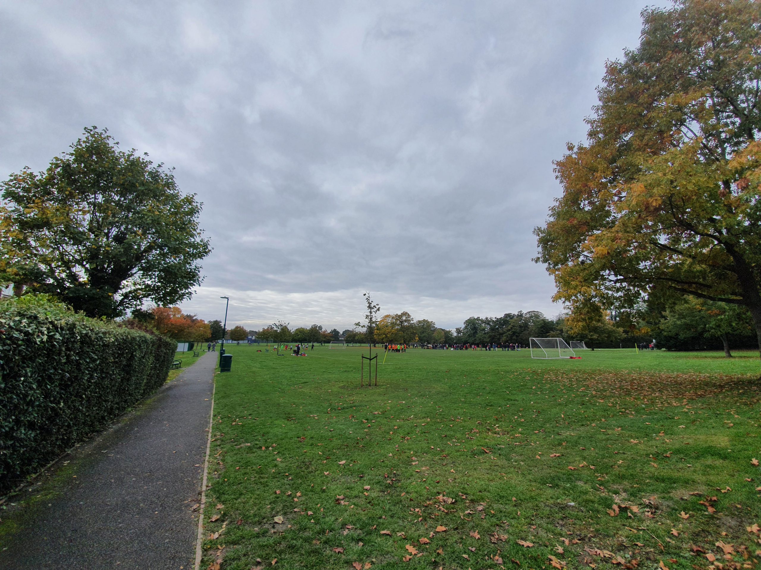
    And the park today, it was being used by numerous sports teams, dog walkers and individuals when I meandered around it.

    This is what the area looked like in around 1920 when it was still glebe lands, it’s the square area which conveniently (for the purposes of this post) has the word Upminster in it.

  • London – Havering (Borough of) – Hornchurch – Old Buildings on High Street

    London – Havering (Borough of) – Hornchurch – Old Buildings on High Street

    This post isn’t of the greatest excitement I’ll admit, but this is the main street of Hornchurch and some of the historic buildings which have remained. The main building in the centre-right of the photo is 197-201 High Street and this dates from the seventeenth century. The smaller building in the centre-left of the photo is 195 High Street, a former residential property which was also built in the seventeenth century. The building in the left of the photo is now Prezzo, but was formerly the King’s Head Inn, again dating from the seventeenth century. It was only converted into a restaurant in the last few years, with this row of buildings being some of the oldest in Hornchurch. I’m moderately survived that this range of buildings has survived given the urban development that has taken place around here over the last century.

    This map is just over 100 years old and even then Hornchurch still resembled a village. The whole of this area is now built on, with the population being under 11,000 in 1920 and over 130,000 in 1960.

  • c2c : Basildon to Upminster

    c2c : Basildon to Upminster

    How beautiful Basildon’s railway station looks from the exterior…. It’s a relatively new railway station, opened in 1974 on an existing railway line to deal with the increasing number of people living in the new town of Basildon.

    I’ve seen more beautiful railway stations. I couldn’t buy this ticket on-line using GWR, who I usually purchase from (I get Nectar points), it said that the journey wasn’t valid. There must have been some timetabling issues, but I was able to buy a ticket from the machines as Basildon. It’s quite an expensive ticket at over £6 for the short journey, but there’s no other public transport that I can see that made this journey.

    The train wasn’t particularly busy and nor was it very clean either, with a fair amount of litter around. I’m entirely reliant on Wikipedia to work out what kind of train this is, but it’s apparently a Bombardier Electrostar Class 357.

    And arriving into Upminster on time. The train was getting a little busier by this point, although there were plenty of seats still available. From here, the train goes into London and arrives at Fenchurch Street in the city centre.

    Upminster railway station isn’t really the most beautiful in the world either, with this section of the station being added in 1932. The railway station itself though dates from 1885 when it was built by the London, Tilbury and Southend Railway.

  • London – Havering (Borough of) – Upminster – Heritage Trail

    London – Havering (Borough of) – Upminster – Heritage Trail

    I do like a nice heritage trail and this was a perfect length for a walk before the pubs opened, just over one mile long. There’s also an optional extension, which I didn’t do, which goes up to the Tithe Barn and Upminster Hall. The trail includes:

    The Old Chapel

    St. Laurence’s Church

    Clockhouse

    Upminster Windmill

    Workhouse

  • London – Havering (Borough of) – Upminster – Former Workhouse

    London – Havering (Borough of) – Upminster – Former Workhouse

    This property was built in 1751 as the workhouse for the area, being extended in 1783. As the need for workhouses increased, a new building was necessary as this could only hold just over twenty inmates. After a new workhouse was constructed in Romford, this building was turned into a row of cottages.

    Now known as Ingrebourne Cottage, the frontages have been quite modernised, although the buildings retain some historic charm.

  • London – Havering (Borough of) – Upminster – Clockhouse

    London – Havering (Borough of) – Upminster – Clockhouse

    This is the former stable block to the manor house of New Place, now demolished, and it’s known today as the Clockhouse. It’s been turned into flats now, although the gardens behind the property can still be accessed. The building was constructed in 1775 and the clock is from the same period, designed by Edward Tutet. A weather vane was moved from Woolwich Arsenal to the building in 1775, with this vane from 1700 now stored somewhere inside the building.

  • London – Havering (Borough of) – Upminster – The Old Chapel

    London – Havering (Borough of) – Upminster – The Old Chapel

    This chapel is part of the Upminster Heritage Trail and is located on St. Mary’s Lane. It was first built in 1800 and was remodelled in 1847. It was used by the Plymouth Brethren until 1989, when it became used by the Sacred Heart of Mary Girls’ School. In normal times, it is open to the public at weekends and has been restored inside.

  • London – Havering (Borough of) – Upminster – St. Laurence’s Church

    London – Havering (Borough of) – Upminster – St. Laurence’s Church

    The Church of St. Laurence is important to Upminster for numerous reasons, not least because it’s the origin of the town name. The church, or Minster, may have been on higher ground, hence the Upper Minster, or Upminster. There was likely a church here from as early as the seventh century, probably just made from thatch and wood, with a stone replacement not constructed until the twelfth century.

    As a little more history, somewhere in this graveyard is the body of Alice Perrers, the mistress of King Edward III of England, who was for a while as influential as a Queen.

    The tower may date from as early as the twelfth century and the wooden frame which supports the spire is from the thirteenth century. That’s quite an impressive piece of engineering, to make it last for seven centuries. This is also the tower from where the speed of sound was first recorded, by William Derham (1657-1735), the rector of the church and keen scientist.

    Much of the rest of the building is later, mostly a rebuild from 1863 overseen by W G Bartlett, with twentieth century additions due to the increasing size of the congregation.

    One gravestone seems to have got itself caught up in the path.

    One of several chest tombs in the churchyard from the eighteenth and nineteenth centuries.

    The path of trees.

    The metal grave marker of Lydia Tunbridge.

  • London – Havering (Borough of) – Upminster – St. Laurence’s Church (Lydia Tunbridge)

    London – Havering (Borough of) – Upminster – St. Laurence’s Church (Lydia Tunbridge)

    I thought this metal grave was intriguing, located at St. Laurence church in Upminster. It commemorates the life of Lydia Tunbridge, who died in 1918 at the age of 70.

    At the 1901 census, Lydia lived at Hacton School House in Rainham along with her husband, George, who was an agricultural labourer. They had four children living with them, Ethel who was born in 1885, Herbert who was born in 1888 and was already working as an agricultural labourer at the age of 13, Ernest who was born in 1889 and was still at school and Mabel who was born in 1892. They also had an older sister, Alice, who was no longer living with them, but who appeared in the 1891 census.

    At the 1911 census, Lydia lived at Mission House in Hacton, with George still working as an agricultural labourer. Herbert, Ernest and Mabel were all still living with them, with Herbert also still working as an agricultural labourer and Ernest who worked as a horseman on a farm. Also now residing at the property was Winnie Fairchild, their grand-daughter.

    Lydia died in 1918 and she still lived at the Mission House at that time. The particularly sad element of this is that she died just a year after finding out that her son Ernest was killed during the First World War. Ernest died on 1 July 1917, at the age of 28, and is buried at the Cologne Southern Cemetery in Germany, which is where bodies were moved to from other parts of the country. Ernest fought in the 7th Battalion of the Northamptonshire Regiment and became a prisoner of war during the conflict, having already been injured in 1916, being discharged from a field hospital on 30 December 1916. He left a wife, RM Griffiths, who lived at 3, Westbury Rd., Walthamstow, London.

    I’m not sure why this burial used a metal headstone, but it may have been that a blacksmith could have made it for them. Ernest was working as a horseman on a farm, so, perhaps (and very much as a random guess) this was arranged for the family.

  • London – Havering (Borough of) – Romford – Romford Market

    London – Havering (Borough of) – Romford – Romford Market

    There has been a market in this area since 1247, when it was used as a location to buy and sell sheep. King Henry III gave Romford the right to hold this market and banned any other settlement from having a similar one if they were within one sheep-driving day away in distance. It later became used as a more general market, but the sale of cattle continued until 1958.

    As can be seen from this map from the early twentieth century, the road used to be more defined on one side, with the cattle market having a permanent area. The general market currently takes place on Wednesdays, Fridays and Saturdays and on other days it’s used as a car park and an opportunity to nearly run over unsuspecting pedestrians who think it’s pedestrianised (not referring to me, but to two other people who had to dodge cars).

    Not wanting to sound like a town planner, but it’s a shame that more isn’t done with this area of Romford, it clearly used to be its beating heart and it’s now a bit of a sideshow.