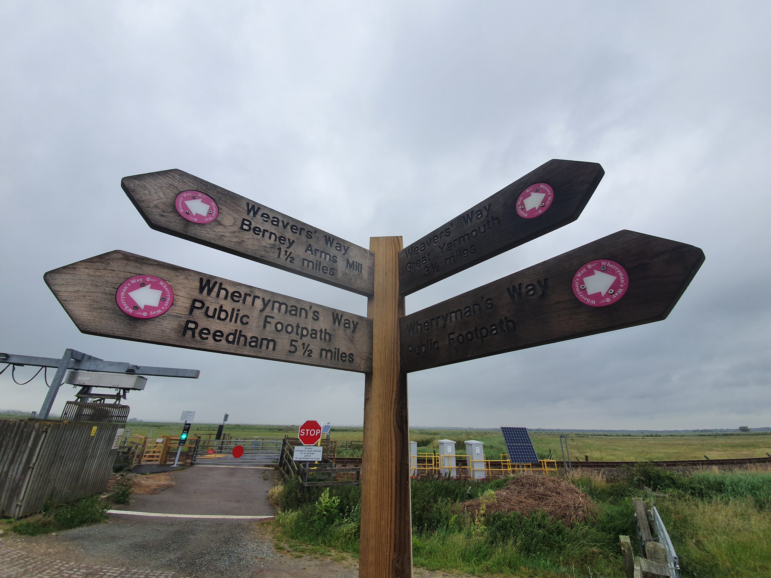
The main page for this walk is here, this blog post is just the section from Berney Arms to Reedham.

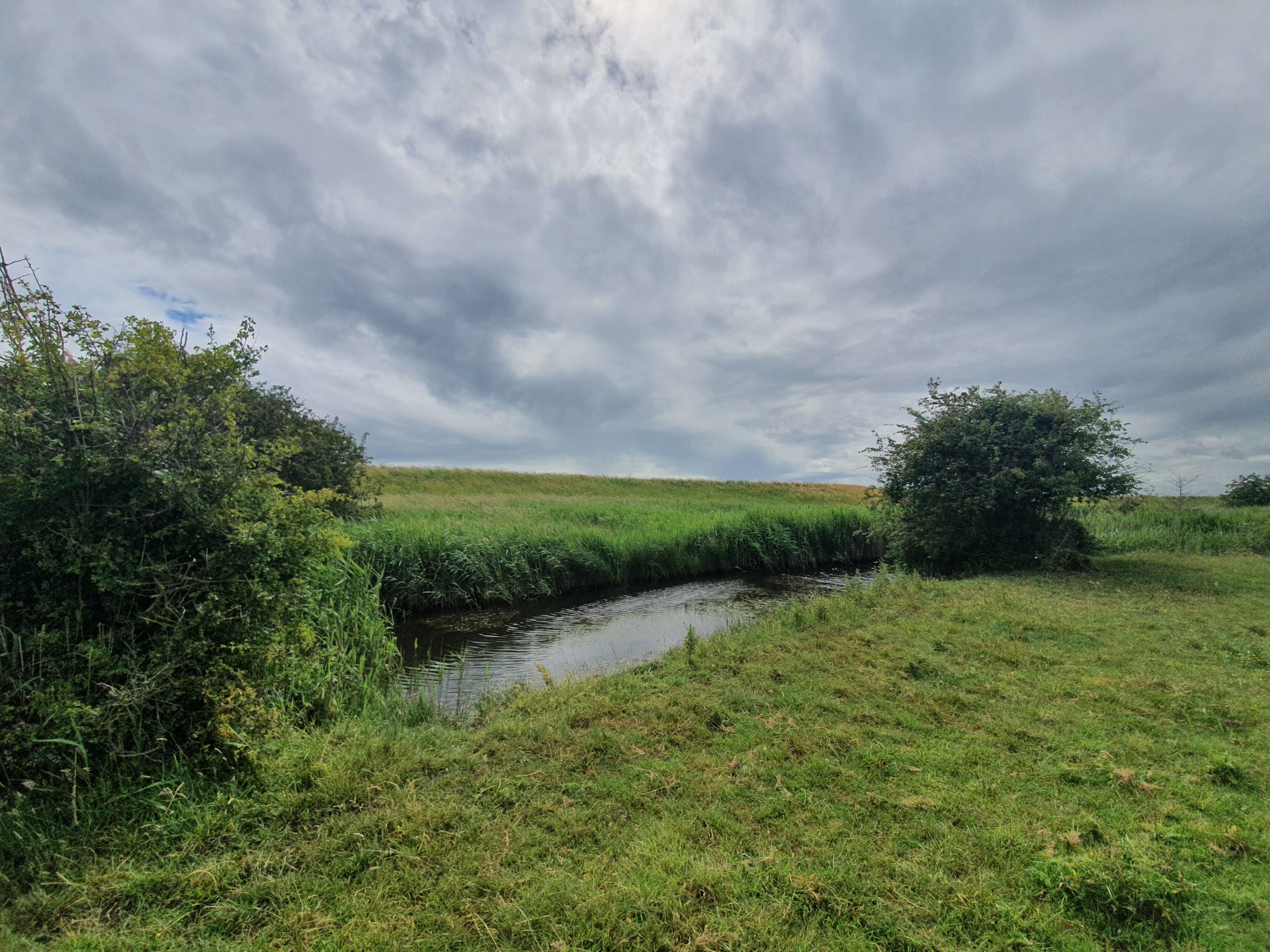
This is the second part of our Wherryman’s Way walk, following on from the section from Great Yarmouth to Berney Arms. We had hoped we had gone through the worst of the overgrown section, but this section after Berney Arms was the worst. This was primarily as the track by the verge disappeared, so we had to wade through waist-height foliage and again worry about standing on a snake. I don’t care what anyone says, as far as I’m concerned, this area of the county is chockablock with snakes, so goodness knows how we didn’t see one.

The weather had been variable so far in the morning, but there was a period of rain which wasn’t entirely ideal.

And more heavy foliage, which significantly slowed down our speed. I was fearful that this section would go on for miles, but fortunately, it was only part of the way. Something gave Nathan and me a rash on our legs, yarrow has been suggested as a possible cause and it certainly wasn’t pleasant.

Nathan discovered a touch of blood on his leg and so assumed he had been attacked by a rattlesnake. I wouldn’t be surprised to be honest, goodness knows what was in that foliage.

Cadge’s Mill, built during the late 1870s and the early 1880s.

Some rather lovely poppies.

There’s no shortage of windmills on the horizon.

We had mixed emotions about this as it can be seen that the path is suddenly clear and easily walkable, which was a relief after what we’d gone through. But then we saw a flock of sheep and not being very brave, we were concerned that they might attack us.

Mostly the sheep moved out of the way, but sometimes they faffed about on the path and looked menacing.

Hoards of sheep. There was one which followed us from a distance, which seemed a stupid thing to do for an animal that likes being in a flock with others. We were frankly concerned about this sheep and it looked aggressive and so we had to keep looking behind us to see if it was charging after us. Fortunately, it didn’t….

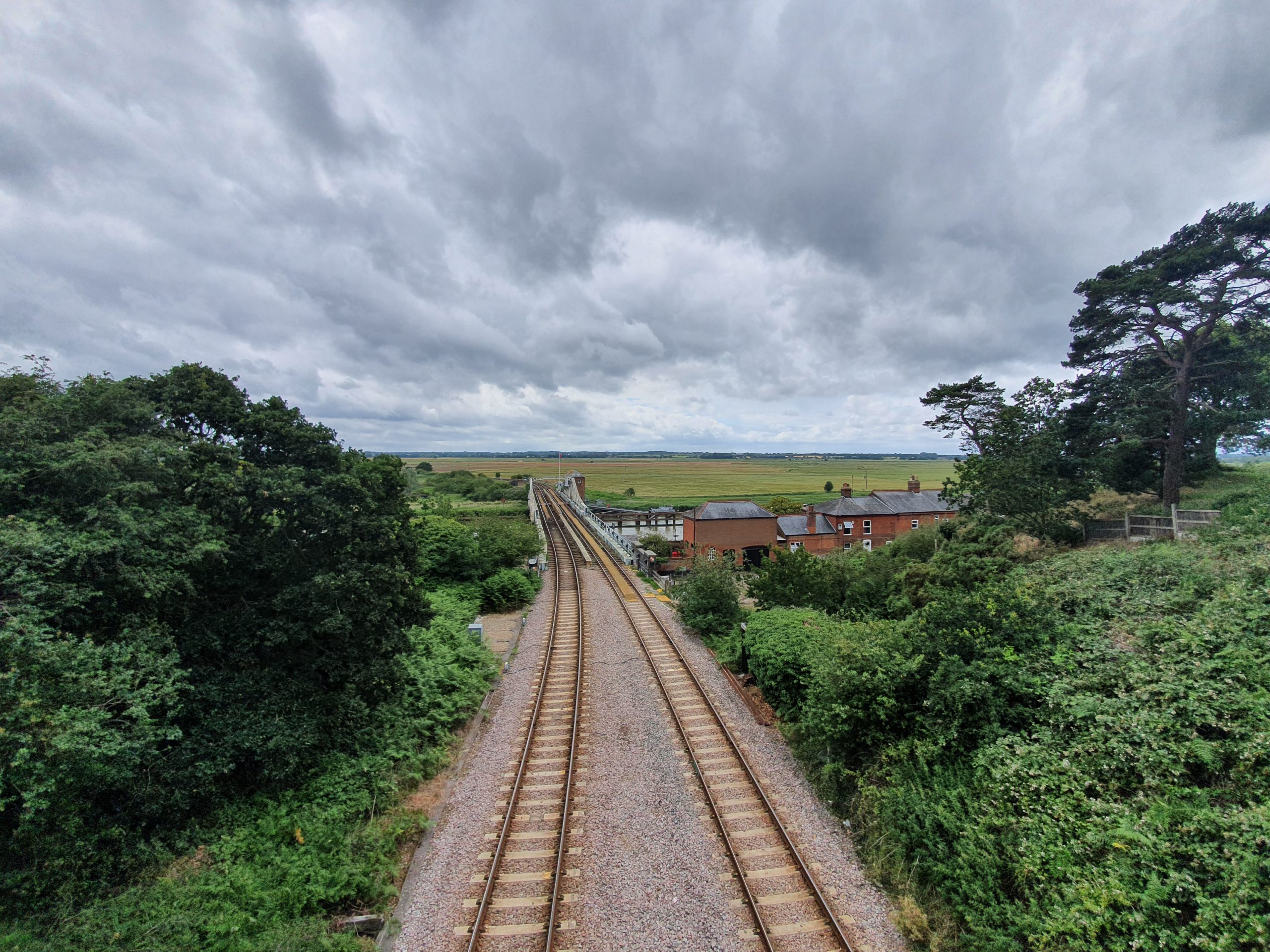
And we had now arrived in Reedham, this is the railway bridge over the river. There’s no footbridge or bridge for vehicles here, everything has to go over Reedham ferry. More on that later though.

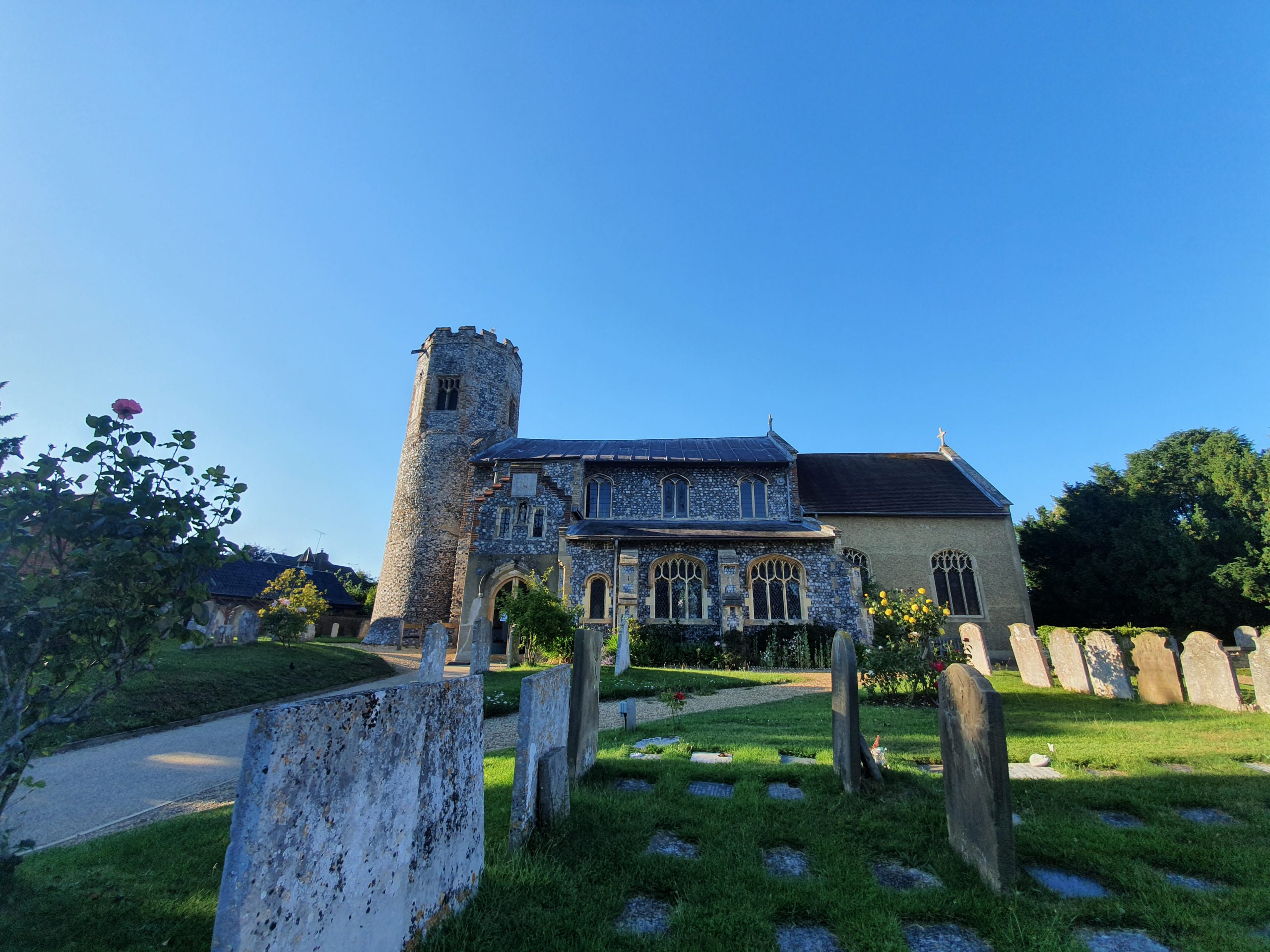
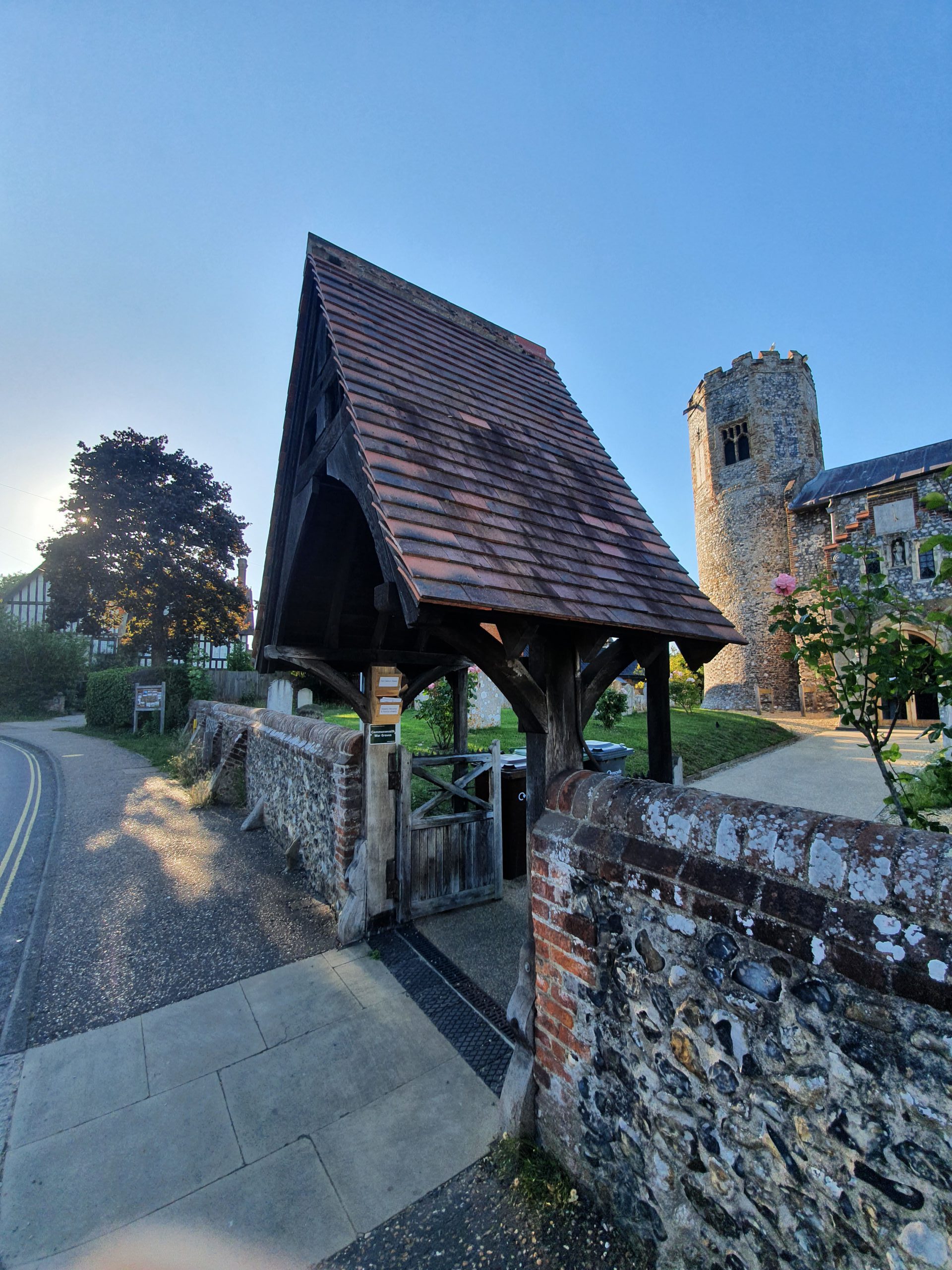
How lovely, I like historic churches and I like breweries.

The Ship pub, which has been trading since the 1820s.

The riverside street in Reedham, which is a village that I’ll write about more in separate posts.

The war memorial in the village.
We felt that we had made good progress by this point, with the village marking the 10-mile mark, and we were in Reedham by 13:00 which was sort of what we had expected. Unfortunately, the overgrown areas had put some extra time on as we couldn’t walk with any speed there. The weather had brightened up and was warm, but with a pleasant breeze to ensure that we didn’t over-heat. We weren’t particularly tired and everything seemed to be going to plan, so we were quite confident in the next stage of our plan, which was to explore Reedham briefly and then head off on the Reedham Ferry.