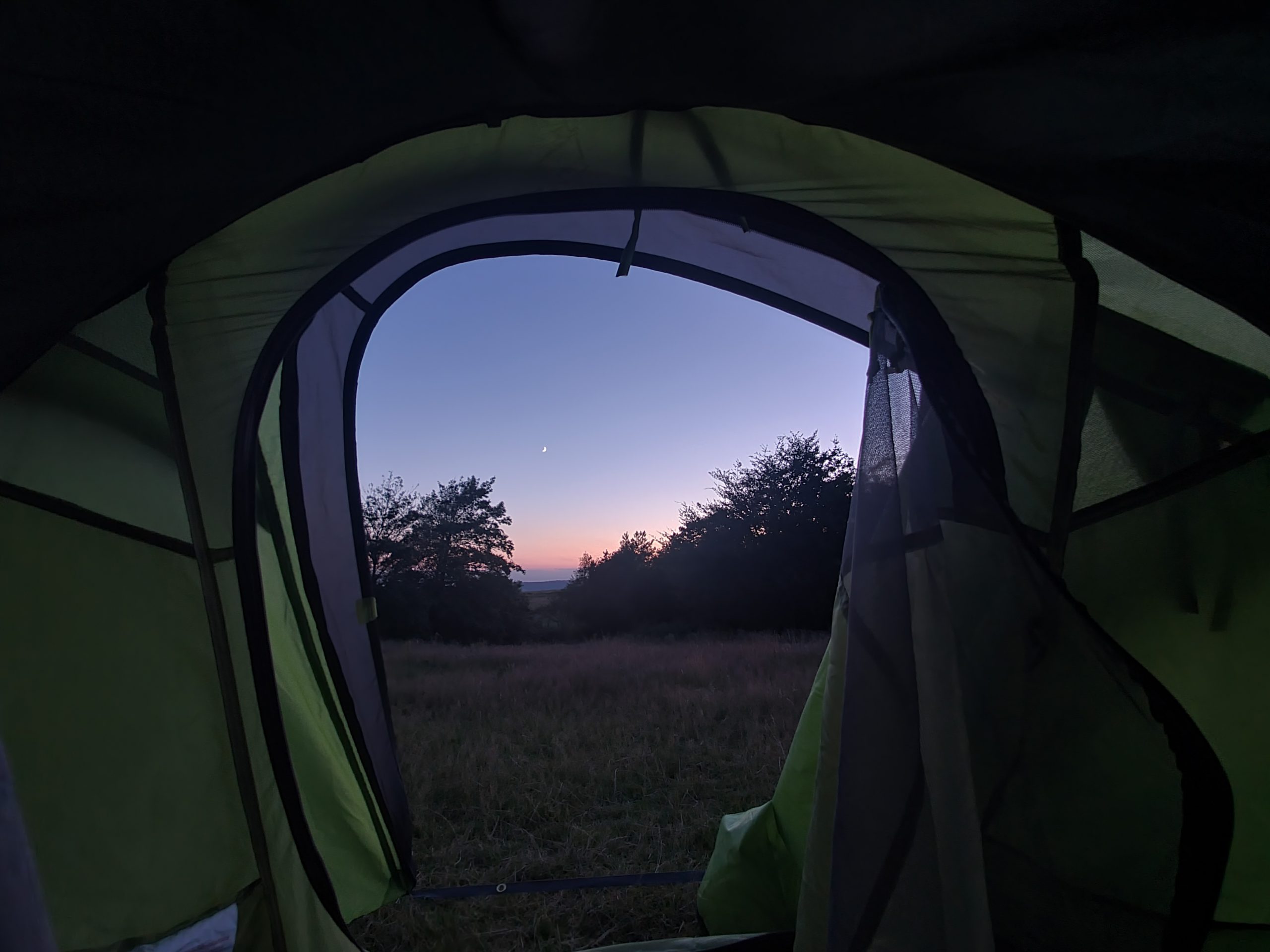

I continue on my tour of the Brewdogs of the United Kingdom and I’m making steady progress, so thought that since I was in the area it’d be wrong not to pop into the Brighton location. I was disappointed to miss the Newcastle location last week, but they were temporarily closed for Covid-19 reasons.

I booked a table, although I’m not entirely sure that they ever found the booking. It’s quite a large location and it seemed to be booked for most of the evening, so I assume it’s making them some money given how busy Brighton is at the moment. Everything seemed clean and tidy and I spotted some tempting beers in the fridges.

I saw the staff member looking at giving me a small table by the door, which seemed ridiculous given that the entire bar was empty, but then without my saying anything a colleague mentioned that two larger tables were available. I was pleased by this and they had power available as well for my devices. So, all was well.

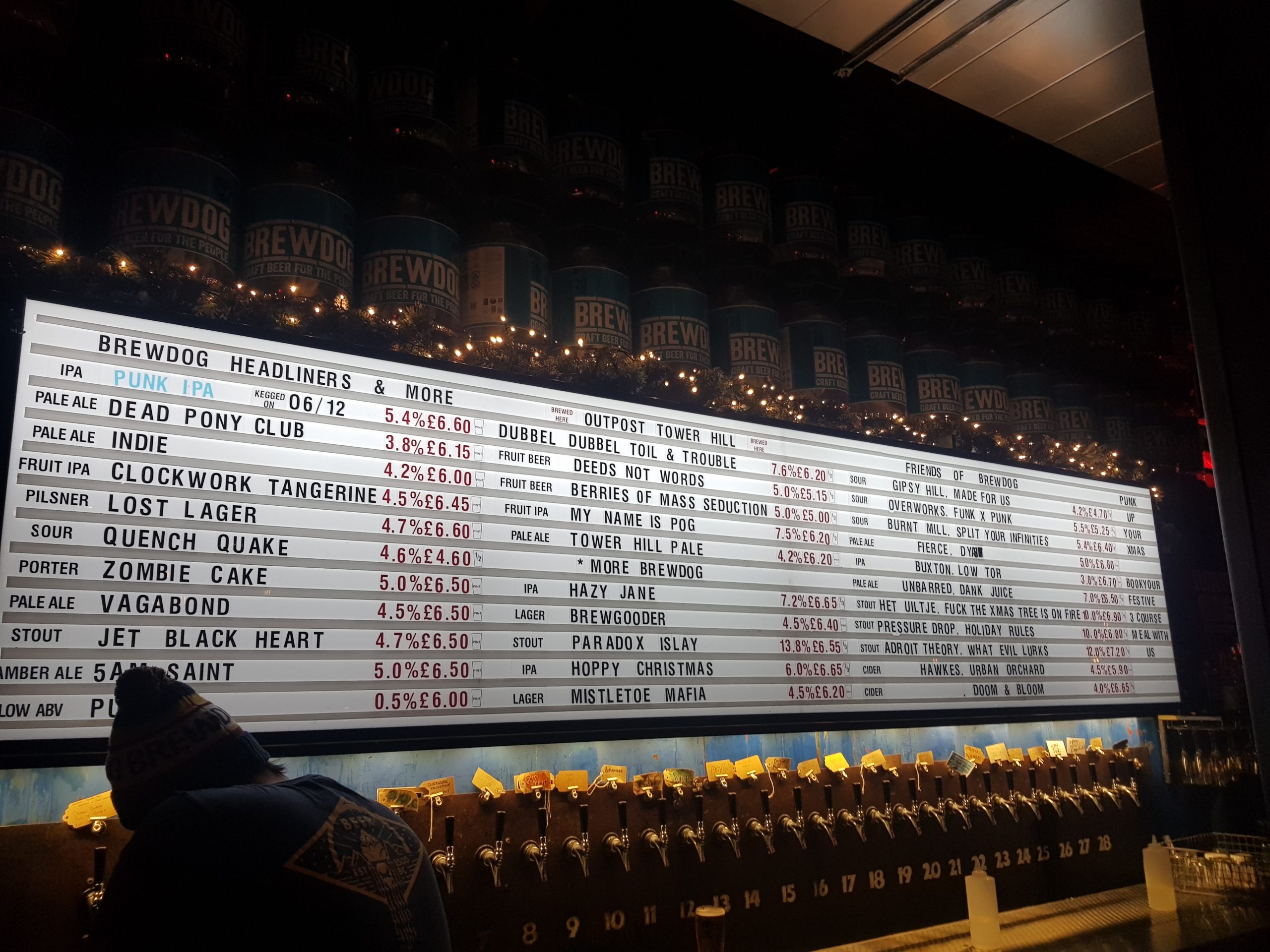
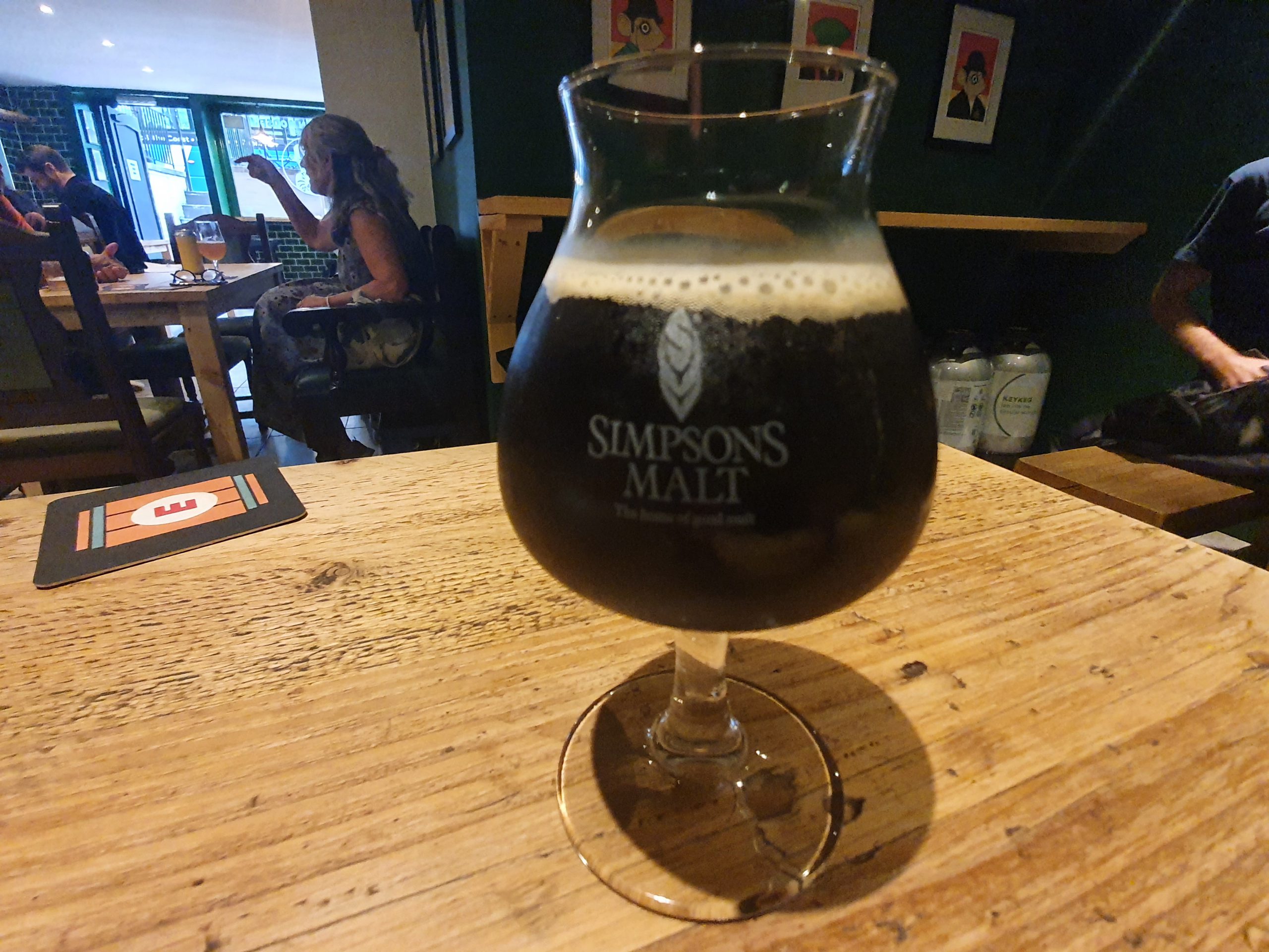
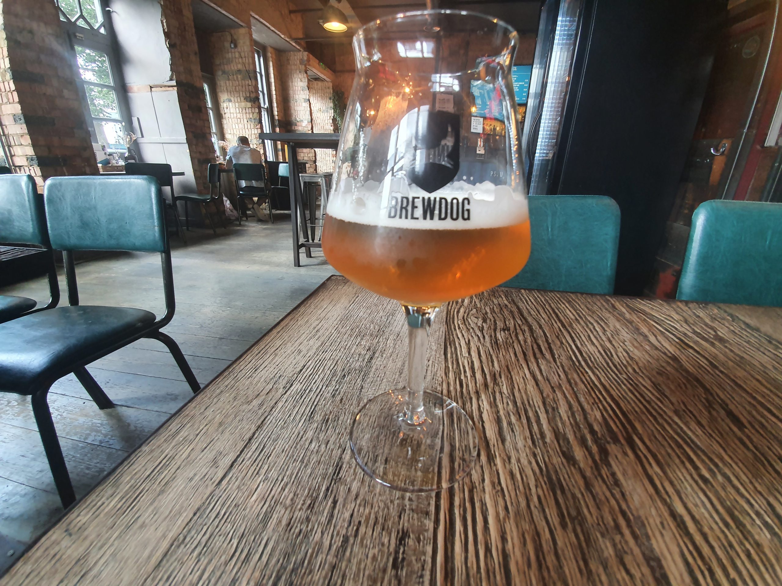
I ordered a third of the Cannon Blast, which was unexciting, although it had a clean citrus flavour that wasn’t unpleasant. It was the first drink I’ve ever had from a Brewdog bar that was under-measured. I mention this not as a complaint that I received slightly too little liquid, but that it’s only fair since Brewdog have given me several free drinks by mispours over recent weeks.
I was eyeing up the very well rated Tuesday (2020) from Cycle Brewing Company from St. Petersburg in Florida as one of my later drinks here. But, the service just felt wrong, it’s that Pret philosophy that their shops should seem inviting. I’m sure there were external factors, but the service seemed disengaged, cold and the staff didn’t seem very engaging about beer. To be fair, I could have started an engagement given it would be hard not to like the barrel aged imperial stout that I was considering, but then I decided that I’d just leave and head back to the campsite that was so far away. I don’t normally need to be upsold to as I’ve busily already ordered it, but I needed a bit of convincing to stay here and it wasn’t forthcoming.
This was probably one of my most pointless Brewdog visits, lasting ten minutes of my two hour booking and I never even started charging my devices. On the bright side, it cleared a table for them as they seemed to have very limited availability. They received £1.79 for my one third of a pint and I left dreaming of the service of other Brewdogs. But, I’ll keep my eye out for that Tuesday (2020) beer in other Brewdogs, that’s too good to miss.