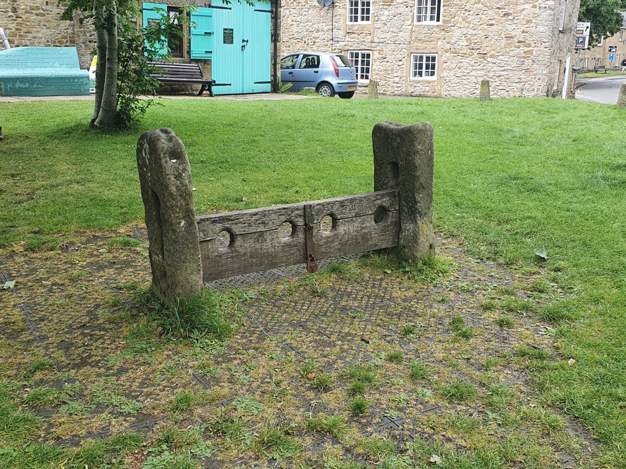
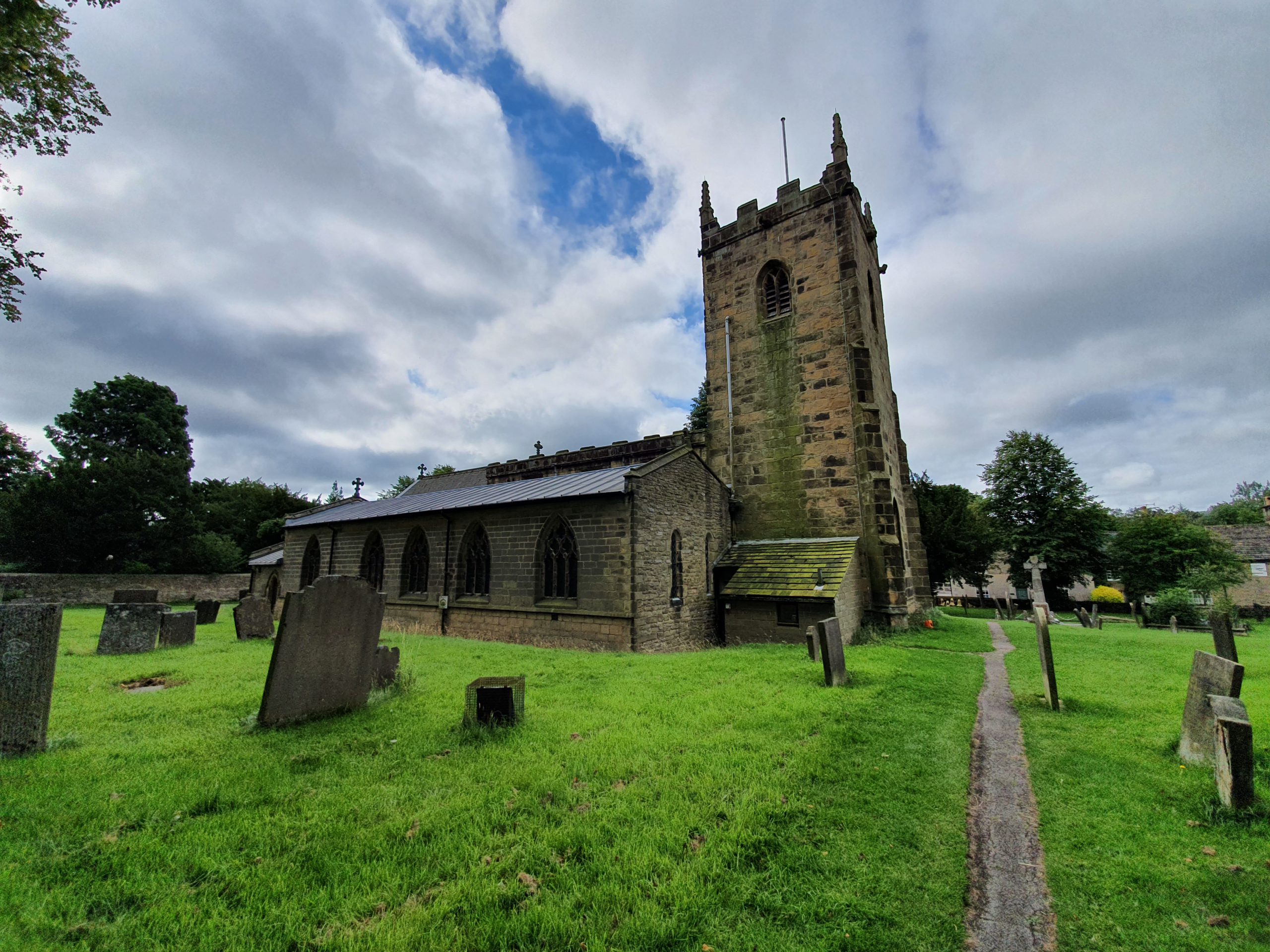
Author: admin

  • LDWA 100 – Training Walk 5 (Rockland St. Mary to Norwich Railway Station)

    LDWA 100 – Training Walk 5 (Rockland St. Mary to Norwich Railway Station)

    The main page for this walk is here, this blog post is just the section from Rockland St. Mary to Norwich Railway Station.

    This photo is really just for Leon. DIGGER!

    So, we’d now reached Rockland St. Mary and that’s Rockland Staithe, meaning that we’d completed 28 miles of the walk and it was 19:30.

    From this time of the evening, the lighting started to work well for photos.

    The beer garden of the Surlingham Ferry.

    This was the final stretch of walk along the river and we were a little nervous that it might be just slightly overgrown in places and we could do with being stung by nettles. It actually proved to be fine, but by now, general fatigue was starting to creep in as we went past the 30-mile mark.

    It was true that we were tired, but these were some beautiful views.

    This is the RSPB reserve at Surlingham.

    Saint Mary’s in Surlingham and by this stage, this was as near as I was prepared to go as I didn’t want to add on any extra distance to walk around it taking photos. Interesting round tower church, I’ll go back there at some point.

    This looks narrower in the photo than I remember it.

    Some of the photos as it started to get dark, I’m still very pleased by my new (well, relatively new) phone camera.

    This is Billy Bluelight, the nickname of William Cullum (1859-1949) who here is decked out in his protective equipment. I’ll write more about him another time, as he’s an important local figure, but the salient point here is that he was known for his running. He’d run up and down the riverside path and offer a race to those on boats, claiming he could get there faster. He usually did manage to get there faster and would be rewarded by pennies and beer. And perhaps, this is a new summer job for Nathan. He could sit at the pub and offer to run up and down the path in reward for a pint at Reedham.

    The statue is at Water’s Edge in Bramerton.

    I don’t think Nathan will mind me saying that by this point, he was struggling a little, but his achievements in getting this far were still remarkable for someone who hasn’t done long-distance walking. I didn’t help by telling him there were no more fields, then there was this one that I’d forgotten about. I also made a slight navigational error, although fortunately we worked it out quickly and so only went around 20 metres wrong.

    As can be seen, it was starting to get just very slightly dark. This photo was taken along Whitlingham Lane, which I’ve walked down many times and it just seems to go on and on…..

    By this time, we were well and truly looking forwards to getting back home, this is Riverside in Norwich.

    The Queen of Iceni pub in Norwich, operated by JD Wetherspoon, where the partitioning for their re-opening is already mostly in place.

    And, this was the end, Norwich Railway Station, which we reached at 22:55, so we had beaten our target of 23:00 which we’d set a few hours before. Nathan was only moderately annoyed to see that there were no taxis at the railway station, which meant he had to walk home, adding another mile onto his route. I was pleased to only have a walk of half a mile back home.

    So, did we enjoy it? Speaking for myself, the last ten miles weren’t the easiest, although I was in no pain and had absolutely no feet problems. For someone who gets blisters, this was very important and gives me lots of confidence for the 100. And writing this a couple of days on, and after checking with Nathan, we absolutely did enjoy it and want to do similar distances again. There’s a strange thing about these walks, there are times when they are a nightmare and you ask yourself why you’re not at the pub (well, obviously that’s an easy one to answer at the moment, but my point is more general), but when they’re over and you look back, there’s a certain fondness to the whole arrangement.

    The highlights for me of the day were going on Reedham ferry for the first time, being delighted when sheep moved out of the way early on (thereby not attacking us), as well as having a beer in Loddon/Chedgrave (I get them muddled up). The walk was 37.87 miles (although Nathan and I did around a mile each outside of this to get to and from home) and it took 13 hours, 46 minutes and 32 seconds. That’s an average of 21.49 minutes per mile and a burn of 3,537 calories. The highest elevation during the walk was 50 feet (who says there are no hills in Norfolk?) which was towards Norwich and the lowest elevation was apparently -43 feet a few miles from Norwich. I have no idea how accurate those statistics are.

    Unlike Nathan, I don’t pause Runkeeper when we break, so his time splits are more useful as my timings include breaks. However, we started off doing around 18 minutes per mile, slowed down by vegetation a bit and then we returned to those sort of times. Our fastest mile was thirteen miles in, when we achieved a mile in 16 minutes and 53 seconds.

    Particular credit to Nathan for this, as he was having to power through, but our last three miles were done in an average of 17 minutes and 30 seconds (indeed our second-fastest mile of the day was the 37th mile at 17 minutes and 15 seconds) so we made one hell of a pace towards the end. Of course, we could have speeded this all up by not having as many breaks, but they’re part of the fun of a walk like this and we were never that focused on the time, as long as we were back by midnight. The least exciting part was the problems we had with a rash from the vegetation that we had ploughed through, which wasn’t ideal.

    So, all told, this was a suitably exciting adventure. I think we’ll do this again……

  • LDWA 100 – Training Walk 5 (Chedgrave/Loddon to Rockland St. Mary)

    LDWA 100 – Training Walk 5 (Chedgrave/Loddon to Rockland St. Mary)

    The main page for this walk is here, this blog post is just the section from Chedgrave/Loddon to Rockland St. Mary.

    To put this walk into context, Chedgrave is 15 miles into the Wherryman’s Way (if walking from Great Yarmouth) and we were expecting the walk to be 37 miles in total. As an aside, due to diversions, it was 38 miles, with Chedgrave being geographically halfway between Norwich and Great Yarmouth as the crow flies. But, due to the way the river bends and the path diverts, we still had some way to go, but we did feel that we were halfway. Even without realising I’ve split this walk into five separate posts, and I’m starting the fourth post here, well before the halfway mark.

    I mention all that as I think at this stage we realised just how much more walking we had to do and the above photo was taken at 15:30. Any plan of arriving back by 22:00 was now not going to happen. In the above photo is a section of the mast from ‘Hathor’, a wherry which was built in 1905 and is still owned today by the Wherry Yacht Charter Charitable Trust.

    And an information board about the Wherryman’s Way.

    I always think of a certain car driver when I see that road sign.

    The sweeping views of the Norfolk countryside begin again, that’s the River Chet on the right.

    And a little further along the River Chet.

    This is Hardley Cross (I’ve written about this before) and it marks the former boundary between Norwich and Great Yarmouth and it’s where the River Chet meets the River Yare.

    Now walking along the River Yare again, the wide skies of Norfolk showed themselves.

    Hardley Mill, which I’ve written about before.

    The delights of Cantley sugar factory, which is of some note as it is visible for miles before you reach it and for miles after. It’s like the Eiffel Tower of Norfolk…..

    The weather stayed dry after the torrential rain in Loddon, but it sometimes looked a little ominous. There was a stretch of walking that proved just a little annoying, which is the walk into Hardley Staithe. It’s not very far, but the GPX route forgets that it’s there, so it added on just over half a mile and we were now conscious that not only had our 22:00 arrival into Norwich gone awry, but that 23:00 was not looking hopeful. But, we persisted.

    This is the Beauchamp Arms near to Claxton and was at the 25-mile mark for our walk. I’m not entirely sure what’s happening to it as there seems to be a large maintenance project going on and it’s clearly not going to re-open in its previous form for some considerable time. It’s a large building and has one of the best locations in the area, so perhaps they’re planning to take it a little upmarket.

    I led most of the walk since I had the GPX route, but here Nathan takes charge.

    And these are three photos of the walk into Rockland St. Mary, which is at the 28-mile mark. Certainly, tiredness had crept in by this stage of the adventure, although we were conscious that there were now only ten miles left. Given that Nathan had never walked more than 22 miles before, he’d now gone over a marathon distance and we had the advantage that a finish by 23:00 was now more likely than not. Our bravery was evident and we had just one long stretch to go to reach the beautiful city of Norwich.

  • LDWA 100 – Training Walk 5 (Reedham Ferry to Chedgrave/Loddon)

    LDWA 100 – Training Walk 5 (Reedham Ferry to Chedgrave/Loddon)

    The main page for this walk is here, this blog post is just the section from Reedham Ferry to Chedgrave/Loddon.

    In my last blog post, I mentioned that it was just a short walk along the river towards Reedham Ferry. This transpired to be untrue, as the river section is closed and it required a diversion up via the village’s railway station. We tutted silently at this additional length (although to be fair, it wasn’t much), but it was a handy opportunity to take a quick look at the railway station.

    Reedham railway station was built in 1844 on what was the county’s first railway line, the Yarmouth and Norwich Railway. Today, the line serves both the Lowestoft and Great Yarmouth branches.

    More on this railway station in another post, but we meandered off the path to have a quick look at it.

    Looking back to Reedham on the road which leads to the ferry.

    In the background of this photo is Cantley sugar factory, more on which later.

    This looks an old sign….

    And we waited at the appropriate spot for our ferry journey across the river, this is the only river crossing for cars and pedestrians anywhere between Norwich and Great Yarmouth. I’ve never made this crossing before and I think it was a little bit of a highlight for us, although perhaps that just means we need to get out more….

    There wasn’t a long wait for the chain ferry to return from the other side to pick us up.

    The fare is 50p per pedestrian to cross the river and it can also carry up to three cars.

    Nathan looking excited on the ferry.

    The view from the ferry, with the current chain ferry dating to 1984, but there’s been a ferry crossing here since the seventeenth century.

    Departing the ferry journey and we very much enjoyed our 60-second cruise. We chose not to upgrade to first class.

    The spot by Reedham ferry is a nuisance in many ways, as there’s no way of crossing the next section of river to the next stretch of path, which means a long diversion round to Loddon and Chedgrave. So, contemplating this state of affairs, we had a rest and I had the remainder of my meal deal.

    This is St. Gregory’s Church in Heckingham, more on which in another post, but it’s a twelfth-century redundant church (I mean it’s redundant now, it wasn’t redundant when they built it) which is now in the care of the Churches Conservation Trust.

    Although we didn’t much mind that a couple of dogs came over to play, I do wonder whether perhaps owners should be more careful as for all they knew Nathan might have dognapped their pet. I hear this is a big thing in Suffolk…..

    Holy Trinity Church in Loddon, which again I’ll come back to in a future post.

    We had always intended for Loddon to be where we restocked, but since our water levels were high not much more was needed. As it was now quite warm, I decided that an ice cream would be my decadent treat (I say decadent, it was £1). We looked at the Magnums but thought they were too decadent at nearly £2 each, Nathan went with a Feast for £1. No expense spared….

    One issue was that the shop took longer than we had anticipated as two elderly ladies were ahead of us in the aisle and were looking at nearly every item in great detail. A queue was forming behind and I really wanted Nathan to go and say something, but he was too polite. So we did the very British thing of staring at the back of their heads with a grumpy look, as this made us feel better.

    A few weeks ago, I popped into the Premier store and obtained some banana bread beer from Eagle, which I rather liked. Unfortunately, they’d run out today, so Nathan opted for a Newcastle Brown Ale and I went for an Adnams Broadside (I say I went for, Nathan chose for me as I was outside finishing my ice cream and getting the best value from my £1 possible). That was the best choice of a bad lot, but they went down surprisingly well. It was just a little hard to entirely enjoy them to their fullest extent though as something akin to a tornado and Biblical flood hit the village during this moment.

    On that note, we then left the metropolis of Loddon and Chedgrave, often referred to as the Las Vegas of Broadland, moving on to the next part of the walk.

  • LDWA 100 – Training Walk 5 (Berney Arms to Reedham)

    LDWA 100 – Training Walk 5 (Berney Arms to Reedham)

    The main page for this walk is here, this blog post is just the section from Berney Arms to Reedham.

    This is the second part of our Wherryman’s Way walk, following on from the section from Great Yarmouth to Berney Arms. We had hoped we had gone through the worst of the overgrown section, but this section after Berney Arms was the worst. This was primarily as the track by the verge disappeared, so we had to wade through waist-height foliage and again worry about standing on a snake. I don’t care what anyone says, as far as I’m concerned, this area of the county is chockablock with snakes, so goodness knows how we didn’t see one.

    The weather had been variable so far in the morning, but there was a period of rain which wasn’t entirely ideal.

    And more heavy foliage, which significantly slowed down our speed. I was fearful that this section would go on for miles, but fortunately, it was only part of the way. Something gave Nathan and me a rash on our legs, yarrow has been suggested as a possible cause and it certainly wasn’t pleasant.

    Nathan discovered a touch of blood on his leg and so assumed he had been attacked by a rattlesnake. I wouldn’t be surprised to be honest, goodness knows what was in that foliage.

    Cadge’s Mill, built during the late 1870s and the early 1880s.

    Some rather lovely poppies.

    There’s no shortage of windmills on the horizon.

    We had mixed emotions about this as it can be seen that the path is suddenly clear and easily walkable, which was a relief after what we’d gone through. But then we saw a flock of sheep and not being very brave, we were concerned that they might attack us.

    Mostly the sheep moved out of the way, but sometimes they faffed about on the path and looked menacing.

    Hoards of sheep. There was one which followed us from a distance, which seemed a stupid thing to do for an animal that likes being in a flock with others. We were frankly concerned about this sheep and it looked aggressive and so we had to keep looking behind us to see if it was charging after us. Fortunately, it didn’t….

    And we had now arrived in Reedham, this is the railway bridge over the river. There’s no footbridge or bridge for vehicles here, everything has to go over Reedham ferry. More on that later though.

    How lovely, I like historic churches and I like breweries.

    The Ship pub, which has been trading since the 1820s.

    The riverside street in Reedham, which is a village that I’ll write about more in separate posts.

    The war memorial in the village.

    We felt that we had made good progress by this point, with the village marking the 10-mile mark, and we were in Reedham by 13:00 which was sort of what we had expected. Unfortunately, the overgrown areas had put some extra time on as we couldn’t walk with any speed there. The weather had brightened up and was warm, but with a pleasant breeze to ensure that we didn’t over-heat. We weren’t particularly tired and everything seemed to be going to plan, so we were quite confident in the next stage of our plan, which was to explore Reedham briefly and then head off on the Reedham Ferry.

  • LDWA 100 – Training Walk 5 (Great Yarmouth Railway Station to Berney Arms)

    LDWA 100 – Training Walk 5 (Great Yarmouth Railway Station to Berney Arms)

    The main page for this walk is here, this blog post is just the section from Great Yarmouth Railway Station to Berney Arms.

    Liam dropped us off at Great Yarmouth railway station and the weather was, well, slightly wet. If I’m being honest, this isn’t the most glamorous part of Great Yarmouth and it’s quite a walk from the town’s Greggs. Quick bit of information about the railway station, it was built in 1844 and for much of its life it was known as Yarmouth Vauxhall station to differentiate it from the now-closed Yarmouth Beach and Yarmouth South Town railway stations.

    We had just a little problem in finding the start of the walk, which wasn’t ideal. But soon enough we were walking alongside Breydon Water, admiring just how much litter the people of Great Yarmouth have dropped over the last few months.

    This bird hide is near to the A47 and Liam’s boy saw us from the road as I was taking photos of it.

    Taken from near the entrance to Vauxhall Holiday Park, this is a photo of the Greater Anglia train going from Great Yarmouth to Norwich, in front of a directional finger-post for the Wherryman’s Way.

    A snail. I didn’t take many photos of wildlife on this walk, but the snail seemed happy and it seemed useful to record that moment. OK, I accept the snail might not have been happy, but that made me wonder what really makes a snail happy. Do they feel sad? Anyway, I digress.

    This is when we ran into problems, around a mile out of Great Yarmouth, the actual path of the Wherryman’s Way is on the top of that bank to the left. But, it was too overgrown to walk and I was moderately worried about standing on a snake. For a chunk of a way we were able to drop down to this farmer’s track at the base of the bank, but it wasn’t ideal. Norfolk Trails have a real challenge during these difficult times, but the problem is that the path has got so bad that it’s not really walkable. That means that no-one at all is trampling on the path at all and foliage has just totally taken over. I’ve alerted Norfolk Trails, although I’m sure they were already aware (they’re replied really promptly, they are aware and they’re on it so the foliage should be cleared in the next few weeks).

    Located by the Fleet section of the water, this windmill isn’t named on the map.

    Signage where the path meets the railway track once more.

    This is the section of road which drops into the Berney Arms pub, although I have to admit that we didn’t see the turning to go and look at the pub. The pub is usually closed at the best of times and has been for some years, its rural location means that it’s accessible only really from the river. I have to say that a pub with no road access, just accessible from a boat or after a long-walk or cycle, is going to struggle to survive. There were plans a couple of years ago to turn the pub into a residential property, but the council refused.

    This is Berney Arms windmill, which has the difficulty that like the pub, it can’t be accessed from the road. It was first constructed in 1865 for the Reedham Cement Company who used it until 1880 when it was converted into use as a drainage mill in 1883. It remained in use until 1948 and has since been restored and is occasionally opened to the public.

    This was our first stop of the day, I sat down to eat my sandwich acquired as part of the Co-op meal deal, whilst Nathan gorged on the delicacies that his wife had packed for him. After I had carefully removed the fat from the bacon of the BLT sandwich, I was relaxed and sufficiently well-fed for the next part of the expedition. At this stage, we were satisfied with our progress, although moderately worried about the state of the path. Ron from Norfolk & Suffolk LDWA group had warned of us about the state of the path, but we were hoping that the problem bit was the section at the start that we had already reached by the time that we were at Berney Arms.

    How bloody wrong we were.

  • LDWA 100 – Training Walk 5 (Wherryman’s Way)

    LDWA 100 – Training Walk 5 (Wherryman’s Way)

    This walk was socially distanced….. And is the fifth walk in preparation for the 2021 LDWA 100.


    WALK NUMBER: 5 (Great Yarmouth to Norwich – the complete Wherryman’s Way)

    DISTANCE COVERED: 38 miles

    NUMBER OF NATHAN’S FRIENDS WE “ACCIDENTALLY” BUMP INTO: 0

    SUFFICIENT BEER CONSUMED: Yes

    PUBS VISITED: 0

    WEATHER CONDITIONS: All over the show.

    ATTACKED BY ANIMALS: Nearly.

    NUMBER OF SNAKES SEEN: 0 (but they were a constant threat)


    I’m going to split this blog post up into numerous parts to try and make it manageable to write and read. But, this was a giant leap in terms of walk distance, particularly for Nathan, and we completed it rather tired but still in one piece. Although it wasn’t ideal to finish the walk at 23:00.

    SECTIONS

    Great Yarmouth Railway Station to Berney Arms

    Berney Arms to Reedham

    Reedham Ferry to Chedgrave/Loddon

    Chedgrave/Loddon to Rockland St. Mary

    Rockland St. Mary to Norwich Railway Station


  • Old Catton – St. Margaret’s Church (HR Champion)

    Old Catton – St. Margaret’s Church (HR Champion)

    The grave of Flight Lieutenant HR Champion is in St. Margaret’s Church in Old Catton and he died on 6 July 1950, at the age of 25. He was killed when the Gloster Meteor T7 he was flying in crashed, with this particular aircraft brought into service on 25 July 1949. This type of aircraft was known as the first British jet fighter and the RAF lost 890 of them in service, killing 450 pilots.

    The air crash was reported in the press with the short article reading:

    “A Gloster Meteor jet fighter exploded before crashing into a cornfield at Sculthorpe. There were no survivors. Rescue squads from the American base at Sculthorpe broke through a hedge and raced across a cornfield to the wreckage. The plane belonged to Horsham St. Faith aerodrome”.

    This explains why these burials are in Old Catton, it was the nearest parish church to RAF Horsham St Faith and their staff accommodation.

  • Norwich – Chish and Fips

    Norwich – Chish and Fips

    To start our Catton walk off, we popped into Chish & Fips on Angel Road, a reminder that this blog used to have many more posts about food and drink before the current crisis….. Anyway, the social distancing was all clearly laid out and managed well. The staff members were friendly, the shop was clean, the service was efficient and the process was fast. Well, Nathan had to wait for his battered sausage since I ordered the last one, but I got over that.

    Not the easiest to eat when presented like this, but it was all entirely acceptable, albeit unexceptional. The sausage was generic (although they usually are, but then again I suppose that’s the definition of generic), the batter had no discernible taste to it and I’m not sure what the chips were cooked in, but it didn’t add any particular richness of flavour. But for £3, it’s admittedly still perfectly acceptable value for money as they were served hot and they didn’t taste bad or overcooked. The portion size was also sufficiently generous and there were no customer service issues here.

    However, I understand that their strongest element is their fish, which is rather useful for a fish and chip shop. But, they don’t accept cards and given the times in which we live, that’s enough for me to once again divert via Grosvenor instead. Although I say this and I haven’t been there for weeks, I must do some diverting this week to get there.

    So, overall, entirely acceptable and there was a friendly welcome.

  • Old Catton – St. Margaret’s Church (GH Scott)

    Old Catton – St. Margaret’s Church (GH Scott)

    This is mostly a useless blog post (as so many of mine are to be fair….) because I’ve managed to find out nothing about this individual. I’m slightly reassured that I can see two other people have tried, and have equally managed to uncover absolutely nothing that isn’t on the gravestone.

    So, all I have is that Senior Aircraftman GH Scott, service number 4062634, of the Royal Air Force died on 14 May 1953 at the age of 20. The date of his death means that many records haven’t gone to genealogical sites yet, with RAF records from the Second World War still being with the Ministry of Defence, let along those who died afterwards. This was probably a death of someone who died during their training, rather than through a plane crash or major incident.

    One day, I’ll find out who it was, or if anyone knows, I can correct the record….

  • Dictionary of the Vulgar Tongue – Day 100

    Dictionary of the Vulgar Tongue – Day 100

    The Dictionary of the Vulgar Tongue was first published at the end of the eighteenth century, and given that the Coronavirus crisis is giving too much time to read books, I thought I’d pick a daily word from it until I got bored…. As a side note, I’m not sure that I expected the crisis to be lasting this long, but here we are, 100 days later…..

    Dam

    The dictionary defines this as “a small Indian coin, mentioned in the Gentoo code of laws; hence etymologists may, if they please, derive the common expression, I do not care a dam, ie, I do not care half a farthing for it”. The OED don’t like this explanation and claim that there’s no evidence for this origin of the phrase, but prefer the idea that it comes from an Old English word meaning “curse”.

    But, there are more word origins here, it may derive from the Latin word  ‘dampnare’ meaning to inflict loss on, which later evolved to mean to inflict judgement on. But the earliest time that “don’t care a dam” is recorded is from the eighteenth century, so the Indian coin option is still possible. Most likely in my view is via the Old English route, with the word ‘damnation’, it’s just a corruption down of that word which means “don’t give a care” and it also explains that the word is actually ‘damn’ and not ‘dam’.