
Across the country, there were problems in the early nineteenth century with churchyards in cities becoming full. The cholera epidemic gave the dual problem of more burials, as well as the risk of spreading disease by burying bodies in city centres. So, in 1844, a decision was wisely made to acquire a site of land where burials could take place and the Mill Road site was secured. There was also the inspired idea that the 13 parishes of All Saints, St Andrew the Great, St Andrew the Less, St Benedict, St Botolph, St Clement, St Edward, St Mary the Great, St Mary the Less, St Michael, St Paul, Holy Sepulchre and Holy Trinity could share the land.

The information board at the cemetery shows how the churches divided up the land to suit the needs of their own parishes. The land was consecrated in 1848 and then burials were moved to this site, thereby relieving pressure on the existing churchyards.

The lodge was constructed before the land was consecrated, so that the custodian of the site had accommodation, but the building was also used as offices and as a mortuary chapel. It doesn’t sound the ideal place to live if I’m being honest, but each to their own and there would have been far worse accommodation in Cambridge at the time.

Money was raised to build a chapel at the centre of the site as the existing lodge wasn’t sufficient in size. Finances were secured to get the services of George Gilbert Scott to design the chapel and it opened on 28 May 1858. The chapel was used until the 1940s, but then it fell out of usage and was badly damaged by a fire. In 1954, it was decided that it would be best to demolish it, something which I think was a palpably bad decision. There was an archaeological investigation in 2009 to map out the foundations of the chapel, and they’ve been marked with stones, a project which I think is a marvellous idea. There are some medium-term plans to do something with this site, although I can’t imagine anything will take place for some time.
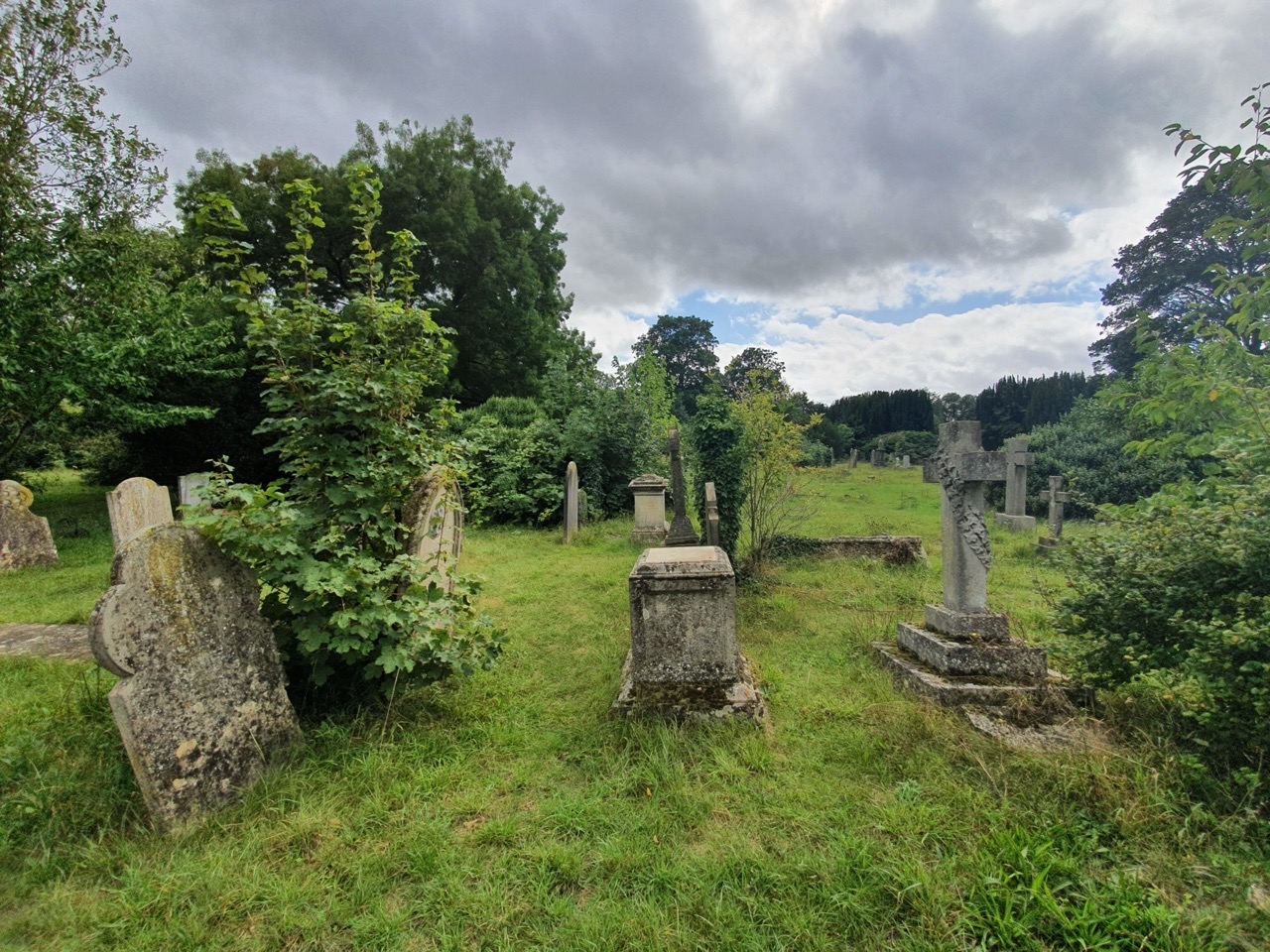
As for the rest of the site, it’s peaceful and calm, but some parts have become quite derelict. Some parishes had filled their land up by the early twentieth century, but a few burials took place until it all came to an end in 1949 when the cemetery was closed. There is some provision for people to be buried alongside loved ones, but today the site is operated by Cambridge City Council.
Some photos of the cemetery….