
Alexandra Tavern
Address: 16 Stafford Street, Norwich
Local Council: Norwich
I haven’t yet visited this pub, but maybe sometime soon….. When I do, this text will disappear and my ‘fascinating’ comments about the pub will appear instead.
For the moment, here’s my list of Good Beer Guide pubs visited. And for anyone interested, which I accept isn’t likely to be many people, my favourite pub so far is the Hop and Vine in Hull. Untappd is a handy place to see where I’ve been recently (and feel free to add me, the more the merrier).
I also don’t have an interview with anyone from this pub, but if they want to take part then please do contact me. It’ll also be an effort to update this database with pub closures and updates, but I’ll change the details of anywhere that I’m contacted about. I’m updating on a regular basis new pubs and also removing venues which are clearly more restaurants than pubs. And the pub that I’m saddest about closing is Goose Island in London which shut its doors in late 2022…..
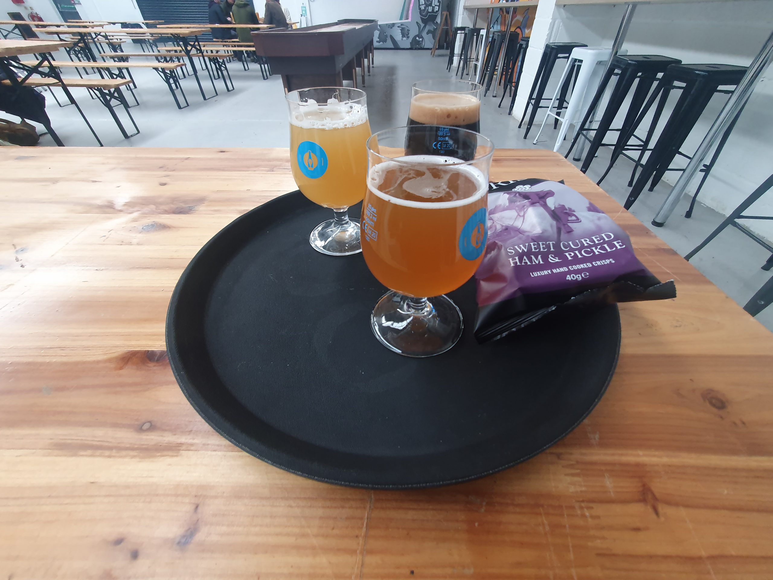
This project is I accept entirely unachievable, namely trying to visit not only every Good Beer Guide pub in the country but having a fair crack of trying to visit as many pubs as I can. But, I have to start somewhere and here is where we’re starting. The image in the photo is from the Phantom Brewery Tap in Reading.