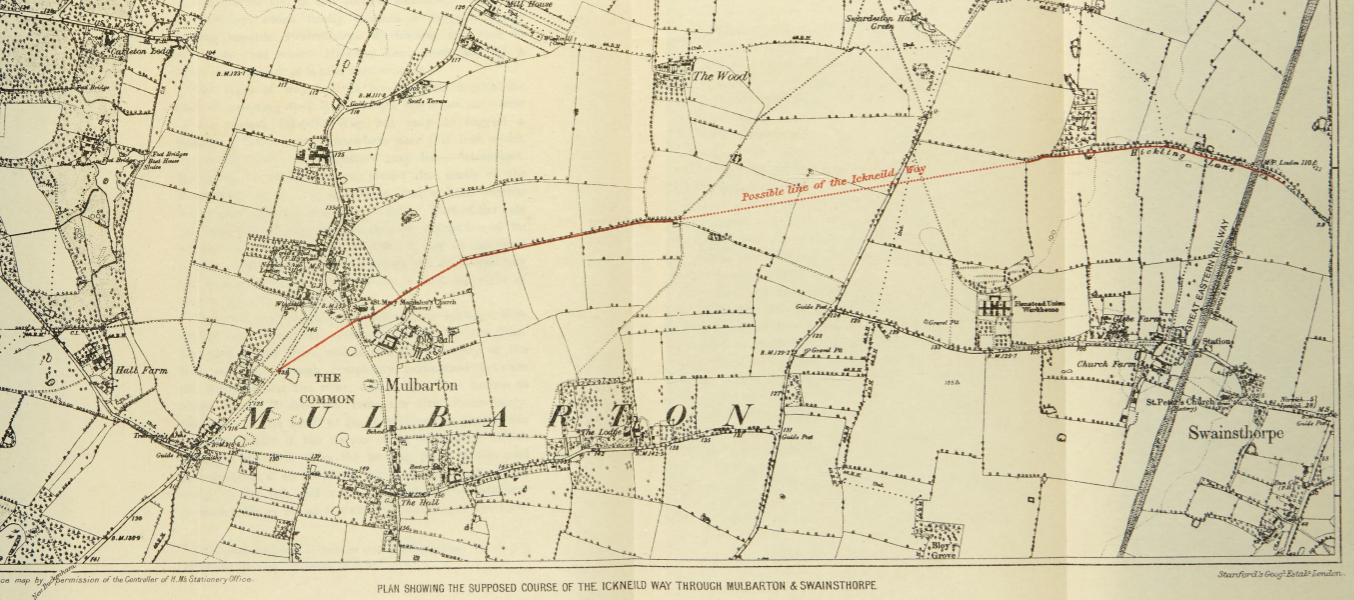
I posted earlier about how the Norfolk and Norwich Archaeological Society have made back issues of their journal available on-line. And, there’s an article by JC Tingey that was published in 1900 which gives some ideas about the route of the Ickneild Way across Norfolk.
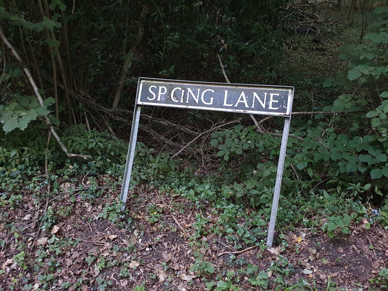
The Ickneild Way is an ancient trackway that ran from Wiltshire to Norfolk and although some sections are still major footpaths, such as the Ridgeway, some stretches are lost. Tingey’s map of where he thought the trackway went in Norfolk is interesting, as we (Nathan and me, not Tingey and me…..) walked some of this route a couple of weeks ago.

This is the route we took between Mulbarton and Caistor St Edmund.

And this is the map proposed by Tingey, and we followed the left-hand section of the red line, leaving the route as it can be seen the path is no longer there. But, the author has a good point, there is a missing stretch of path that connects two other sections. It’s not something that I’ve thought about before, but it’s an interesting theory.