LDWA 100 – Training Walk 7 (Flower of Suffolk Anytime Challenge)
This was our seventh walk in preparation for the 2021 LDWA 100.
WALK NUMBER: 7 (Flower of Suffolk)
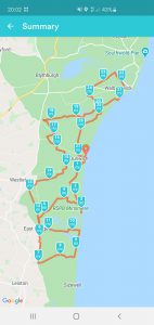
DISTANCE COVERED: 27.8 miles
NUMBER OF NATHAN’S FRIENDS WE “ACCIDENTALLY” BUMP INTO: 0 (but we weren’t in Norfolk)
SUFFICIENT BEER CONSUMED: Yes (enough on Saturday to last us into Sunday)
PUBS VISITED: 1
WEATHER CONDITIONS: Sun, rain, sun, rain, sun, rain
ATTACKED BY ANIMALS: No
NUMBER OF SNAKES SEEN: 0 (although we did try)
And so for some background…. This was the seventh training walk for the LDWA 100 walk that Nathan and I are planning, although we had Liam with us as well on this one. It’s the Flower of Suffolk anytime challenge, an LDWA event that takes place in normal times on the first Sunday in October every year. I enjoy this as I sit with my feet up thinking about how far everyone else is walking, whilst I’m eating chocolate and jelly babies. It’s because some of us can’t take part in the event itself because we have to marshal, it’s a sacrifice that I just have to make.
But, since this bloody health situation means that we can’t hold the actual event, we have instead put on the walk as an anytime challenge. Thanks to the wonderful Peter, Chelle, Hilary and others involved in ensuring that this could take place. I will also complain at this point about Nathan, who promised me a quick drink on Saturday lunch-time, which ended up being about nine hours of drinking. Which reminds me, I must post about a certain beer I liked at the Artichoke, but more on that another time.
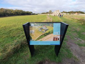
So, Liam drives us to Dunwich, ready to take part in the walk. We stopped en route so Nathan could have a little walk about the road to prepare himself for the day. The walk itself starts by the ruins of Greyfriars Monastery, which is in the photo above. I admit to being a history geek (I know, I need to get out more) and Dunwich has no shortage of that.
I went overboard with photos and took 180 of them. This was, I admit, bloody ridiculous. But they’re in time order (no jumping about the day, I have been very careful with that) in this post, showing the variety of landscapes and terrains we meandered through. We chose the 26 mile route rather than the 18 mile route, as, to be honest, we’re brave. Nathan was also in charge of navigation, since this is his first challenge event and we couldn’t be bothered. Annoyingly, he was actually quite good at that. I say we couldn’t be bothered, Liam probably wanted to, so what I mean here is that I couldn’t be bothered.
I had the brightness on my phone turned low to save the battery, meaning I forgot about my shadow being in some photos.
Dipping down to the sea.
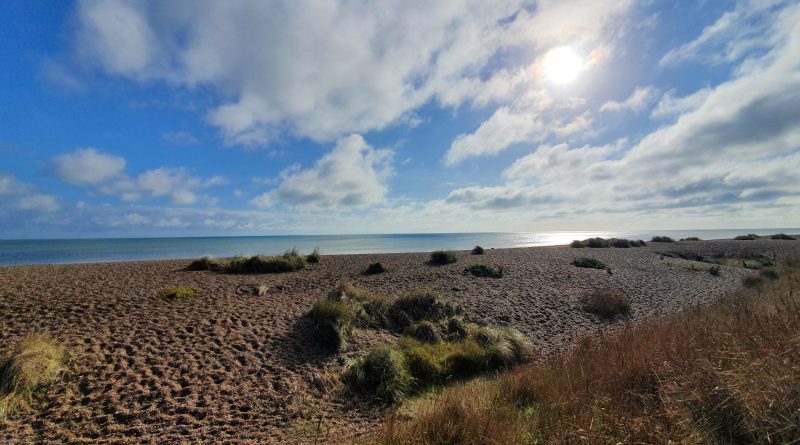
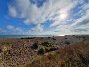
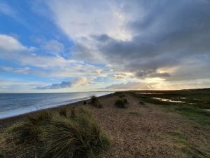
The beach.
The beady eyed readers from LDWA N&S might notice here that we weren’t meant to be on the beach at this point. It was a minor navigational blunder of no-one’s fault and it was nice to have a meander by the beach.
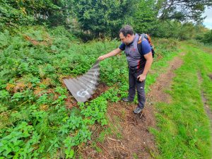
Liam looking for snakes. I was ready to take a photo of one of the area’s 60-feet long adders jumping out. We saw one mouse despite looking under several, that was the limit of the excitement.
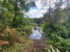
Moist.
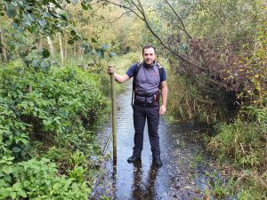
We had a little bit of a problem here, although this photo doesn’t do justice to the issue. The water came up to around Liam’s knees in the section before and for those who can see my Facebook page I posted the video of Nathan and Liam crossing a treacherous bit. It was like the mud run again, which we should have actually been on today if it hadn’t of been cancelled. Anyway, Nathan made that video adult rated by swearing as he went across……
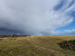
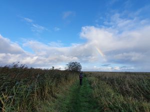
The rain stopped and started, but this did mean that we saw a fair few rainbows. We had a lunch stop here as it was after 12:00 and Nathan had to tip all of the water out of his shoe caused by the aforementioned issue.
This is near Sizewell power station.
Stormy skies.
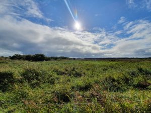
A field.
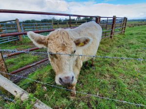
A rather lovely cow. It’s amazing how close I’m prepared to get to a cow when there’s a fence between it and me. I’m scared of these huge animals usually, they always seem ready to charge whenever I look at them.
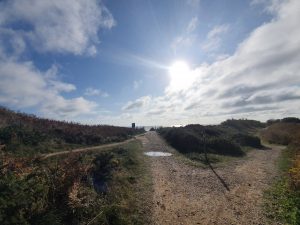
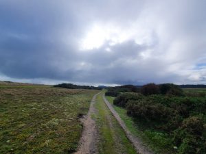
Different terrain….
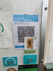
Can anyone see the flaw with the pub’s QR code? It could have been worse, they could have used a Good Pub Guide flyer I suppose.
This is usually where the LDWA checkpoint is, at the Eel’s Foot Inn. Unfortunately, Liam had forgotten his mask and it was pouring down with rain, so we decided against stopping here. Nathan wasn’t thrilled, but Liam’s incompetence was fortunate as we probably didn’t really have time to stop here. This is around nine miles into the walk as well, so it’s a bit early on to get too settled. Although given half a chance, we probably would have got settled here quite quickly.
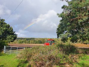
Rainbow and farm machinery.
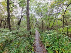
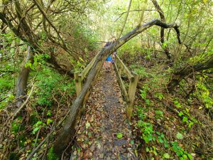
Boardwalk and I’m pleased to say that none of us went sliding off them.
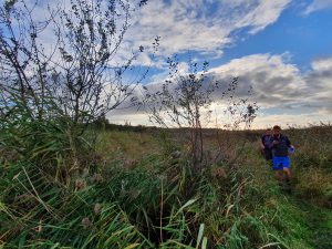
An annoyingly placed tree. Nathan was the only one wearing shorts, but he mostly got away with that with only a few minor nettle issues throughout the day. And he hardly complained.
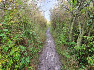
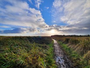
Mud. No-one fell in the mud, it was quite an elegant performance from all of us to be honest.
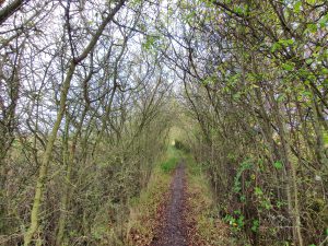
More mud, but this time surrounded by some nice trees.
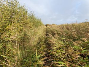
Reeds.
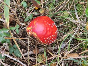
Some kind of mushroom thing. It looked delicious, but I have a rule of not eating anything from foliage or shrubs on a walk, with the exception of blackberries. I can eat several bushes full of those. I did get a few blackberries on this walk, but just a small number and I suspect they’ll be the last that I encounter this year.
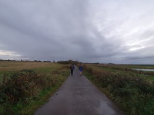
We battle on. Incidentally, Nathan isn’t bored and looking at his phone to entertain himself, he was navigating.
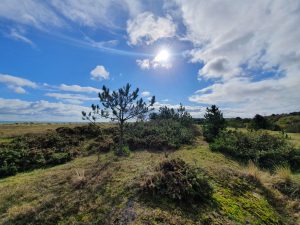
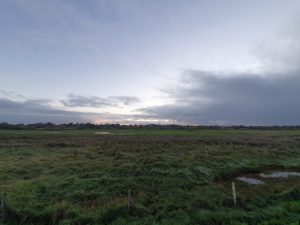
The open skies of East Anglia….
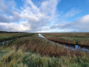
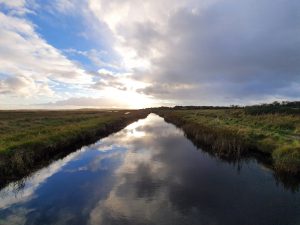
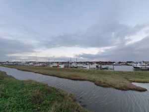
Water.
I very much liked this photo (I’m good at self-congratulation) and it’s my new header photo.
Water.
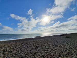
Sea. This time it was on the GPX route we were meant to be on.
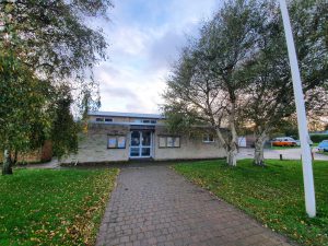
This was quite a sad sight. It’s Walberswick Village Hall and this is usually where the Flower of Suffolk starts and ends. The anytime challenge starts at Dunwich (well, it starts anywhere really, but that’s where we recommend), but for most people on the actual event, reaching here in the afternoon (or evening) means you get a lovely hot meal, chocolate, cake, biscuits, jelly babies and maybe a banana if I haven’t managed to get them sent off to checkpoints away from me.
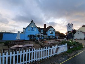
We popped to the Anchor next door, but it was only open to those who had pre-booked. This was moderately confusing, as we would have sat outside, so it was unclear why we couldn’t go in, but I don’t know the layout and perhaps that was impossible. The pub claims to have a world class beer menu and I initially dismissed that, but looking at their on-line menu, it’s much better than I expected (not sure on world class, but it’s well above average). Anyway, if a pub is doing brilliantly and is packed to capacity in these troubled times, that’s marvellous, although it gave us a dilemma as we wanted a drink.
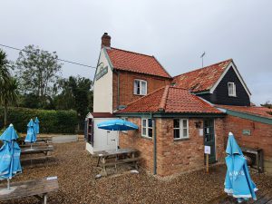
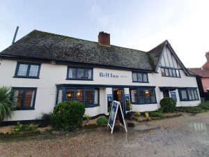
Luckily, the Bell Inn was open and ready to seat us. This resolved the drink problem.
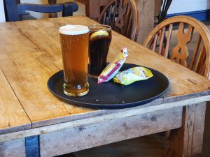
The beer was Nathan’s, Liam had a coffee (we didn’t comment) and I limited myself to a Coke which I hoped was sufficiently sugary. And the bacon fries and scampi fries were mine. Well, obviously.
The observant will note that it was starting to get dark by the time we left the pub. This wasn’t ideal.
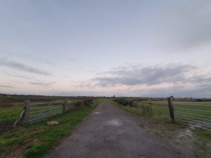
The final few miles of the walk….
Looking back towards Southwold.
And looking forwards to the car, only about three miles left at this point.
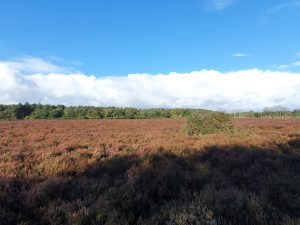
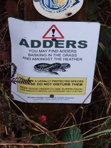
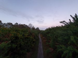
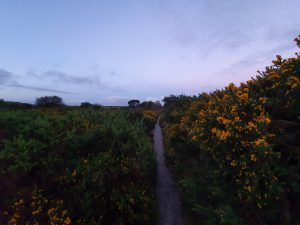
Just what I didn’t want to see. I made sure to stay as far away from the heather as possible and we sent Liam to the front, in case a group of snakes teamed up to launch a joint assault. I know there’s limited scientific evidence for this, but I’m very aware of how sneaky snakes can be.
We didn’t see any snakes….
I didn’t have a head torch. I don’t really plan ahead. But we all had mobile phones with torches on which don’t exactly light the area up, but they cast sufficient light on the ground to ensure we didn’t stand on a snake.
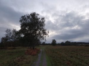
A tree. In the nearly dark Suffolk countryside.
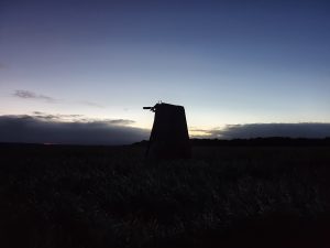
A mill. Although apparently it’s not a mill and is something to do with drainage. It’s not something that worries me either way, but it’s important to be accurate and the route description has been very careful with that.
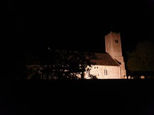
I had hoped that this photo would turn out better than it did, but it’s of St. James’s church in Dunwich.
And there we are, all done!
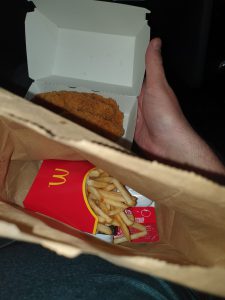
I made Liam stop at McDonald’s at the way home. I needed a decadent treat. The others were getting their evening meals of meatballs (for Nathan) and roast something or other (for Liam) and I pretended to be jealous. Secretly, I was quite happy with this and 12 hours of sleep when arriving home.
Anyway, that’s another 27.8 miles (we walked a bit further than the actual distance of the Flower of Suffolk) out of the way and it was a most lovely day. Towards the end of the walk we decided not to do any more long distance walks as they were too tiring, but we had changed our minds by the end of the drive back to Norwich. I just never learn.

