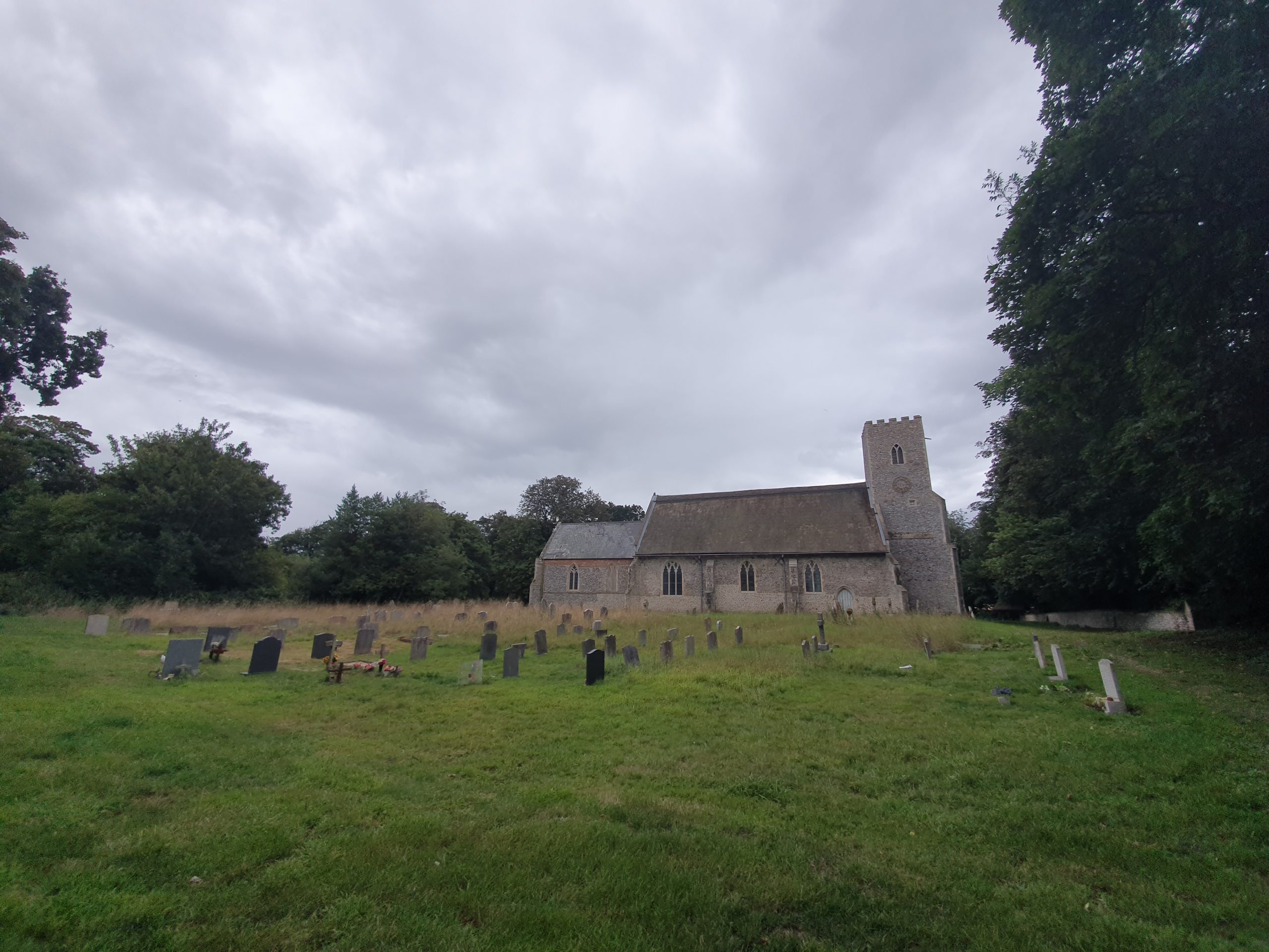
It’s fair to say that Richard and I are not church experts, although we’re getting ever more competent at this church history thing now on our meanders. But, it was evident to me that we were approaching the church from the wrong side and it was evident to Richard that the lychgate was in the wrong place.

This lychgate should be where the road is, not in a random corner.
The church itself addresses this issue on their web-site:
“You approach the church from the north, the “wrong” side, because the first Sir William Paston in the early 15th century diverted the road away from Paston Hall to reduce disturbance to himself and his family This angered the villagers who demolished the wall he had built across the old road, which he then re-built and the family had insults hurled at them (all of which is described in the letters).”
Which all leads me to want to look at maps, although of course, the changes in the fifteenth century mean there won’t be much evident here.

So, this is the starting point (clicking on the image makes it bigger), which is the church in 1900 on the left and the church now on the right.

This is the tithe map, which gives a faint clue. We know that the road went to the south of the church and that the wooded area is the boundary of the church, so the road must have cut straight across the area in front of Paston Hall (just to the top of the blue circle and there’s a route of a former footpath evident through there) which is what inconvenienced Sir William.
I can see why the locals were annoyed…..