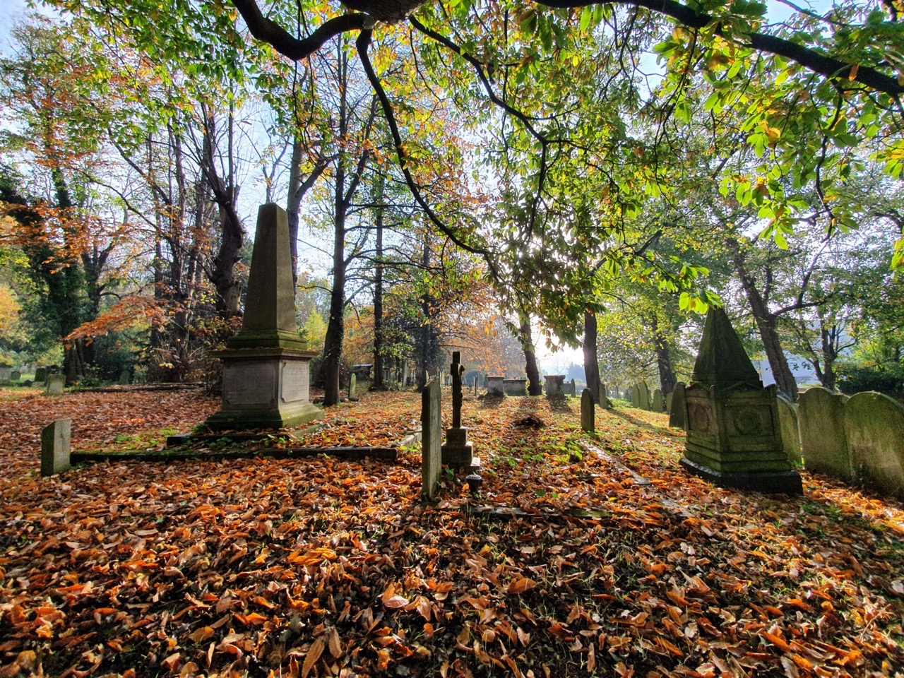
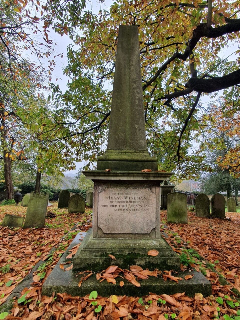
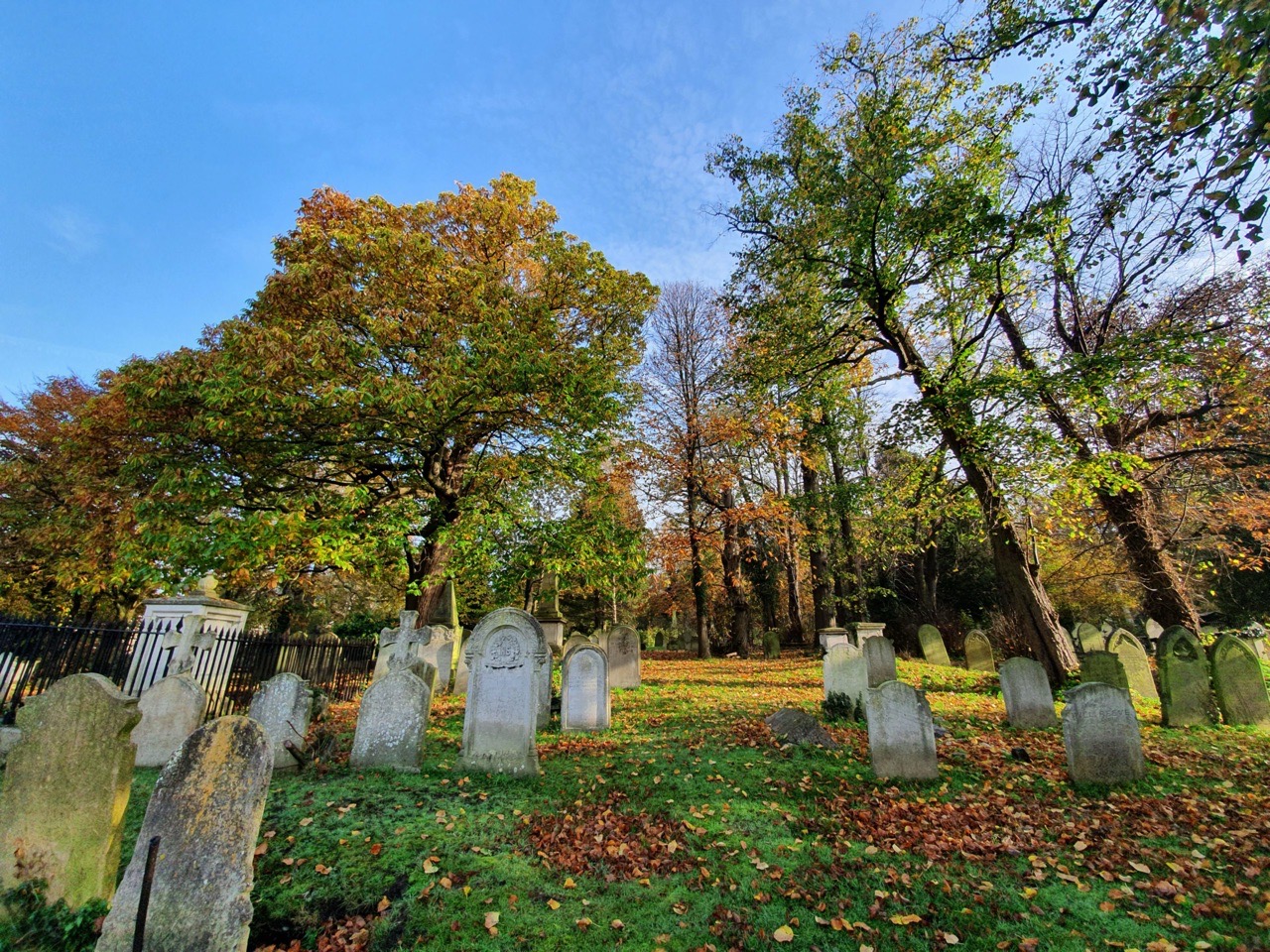
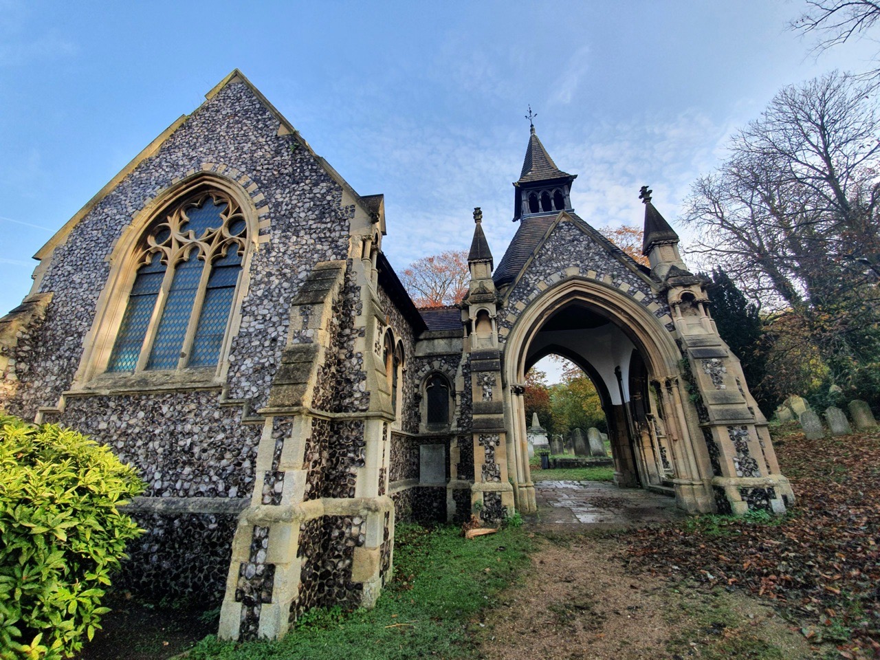
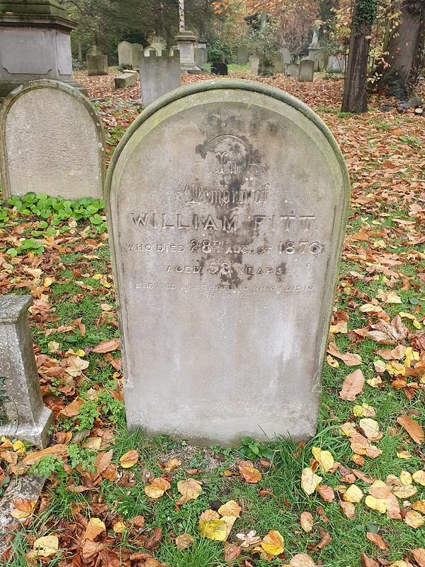
Category: Norwich

  • Norwich – St. Ethelbert’s Gate

    Norwich – St. Ethelbert’s Gate

    St. Ethelbert’s Gate is one of the two main entrances to Norwich Cathedral close, the other being the Erpingham Gate. It was first constructed in 1316, but the reason for its being dates back to the thirteenth century.

    It’s fair to say that the monks in the cathedral didn’t entirely always get on with the ruffians that formed the population of Norwich at the time. There was a busy market at Tombland, which was perhaps quite raucous from time to time with its fairs and parties.

    At this time, the church was also powerful and the monks were conscious that they exerted significant influence. The fairs had been established for the financial benefit of the monks and there were three per year, but instead, the city residents used them to amuse themselves by “displaying goods and animals”. This wasn’t really what the monks had wanted and there’s some suggestion that the residents of the city were trying to best to irritate the monks as best they could.

    Arguments aside, this was all going marvellously until 1272 when the monks managed to kill some Norwich residents, which perhaps wasn’t their best idea. The legal system swung into action, but the church had consistory courts (on a side note, Norfolk Record Office still have the papers from these courts and they’re well worth looking at) and so they were quite content for, well, the monks to deal with the action of the monks.

    The population of Norwich didn’t take well to this little arrangement, so they argued about it with the monks, who promptly locked the city gate. Perhaps the monks may have got away with this if it wasn’t for them employing mercenary soldiers who were accused of amusing themselves by firing at passers-by. To be fair, if I was walking in Tombland and was attacked by a representative of a monk, I would have been displeased.

    And, the people of Norwich showed their displeasure in quite a violent way. They set fire to the whole cathedral and its attached buildings, causing significant damage to the structure and destroyed buildings such as St. Ethelbert’s church. They also pinched the nice things of the cathedral, such as vestments, they damaged books and killed some monks, with some other monks fleeing.

    I’ve never found that violence such as this is the answer, whatever the population of the city might have thought at the time. But anyway, in 1272 Norwich isn’t looking in the best of shapes at this time. There’s now a burnt-out cathedral, angry monks, angry residents and a not inconsiderable amount of tension in the air. It was time for King Edward I to come to Norwich to see what his subjects were getting up to.

    King Edward I, by most accounts, wasn’t best pleased. He blamed the city’s residents, which was perhaps more tied in with the power and influence of the church, but that’s a different matter. He fined the wealthy of the city and for the riff-raff, or “the inferior sort” as they were termed at the time, well, he just executed some of them. To balance things out a bit, he imprisoned some of the monks (although not for long, he was already worried about the Pope not being happy) and ordered that everyone should now try and get on. He actually just installed wardens to supervise the matter, but the intention was that everyone should get on.

    To try and resolve the situation that now existed, in 1275, it was decided that there had to be some financial payments made to settle the matter. This included the construction of a new gate, since the city dwellers had smashed the old one down, and it was to be dedicated to St. Ethelbert since the church with this dedication had also been knocked down.

    And here’s what they built, with everything finished off nicely in 1316. Looking out towards Tombland, the room above the gateway was once used as a chapel but is now a classroom that I’ve visited several times. The entire structure was repaired in 1815 under the supervision of William Wilkins, an architect who also built the city’s new prison in the castle.

    The Lierne vaulting on the roof of the gateway, with the walls on either side looking somewhat battered now. Unfortunately, the location of the gate means that it has to remain open for road traffic, with pedestrians pushed towards the sides. On the left-hand side is a doorway which is an entrance to the room above, although another more practical set of stairs has been constructed which reaches the room from the next-door building.

    Incidentally, the monks and the city residents didn’t settle their differences and the arguments persisted for decades. But at least the monks had a lovely new gate to use, and it’s a fine structure which the city is still fortunate to have. So something positive came from the rioting.

  • Norwich – St Mary the Less Church

    Norwich – St Mary the Less Church

    This is the only one of Norwich’s medieval churches, and the city has a lot, which I haven’t visited. It didn’t open on Flintspiration weekend a couple of years ago when the others did, so it’s something of a challenge to see inside. The heritage bodies have struggled to get their representatives inside and it was last opened to the public back in 2010. There is though an information board, visible above, which draws attention to the gateway, as otherwise, it’d be easy to miss it.

    The church was originally built in the thirteenth century with extensions in the fourteenth and fifteenth centuries, but it became redundant during the mid-sixteenth century. Used by the Dutch migrants as a trading hall, it returned to religious use in 1637 when it became a French Protestant church. This state of affairs existed until 1832 when it became a Swedish Lutheran church, then in 1869 it became a Catholic church once again, just as it had initially been. After the Second World War, it stopped being used as a church and was instead rented out as a storage facility and community building.

    This is the doorway that leads from Queen Street, with the church having been rather hemmed in by buildings on all sides. That graffiti is annoying (and has been there for at least three years), but most people are unlikely to notice it since this isn’t exactly a door that’s ever open. As ever, George Plunkett has a photo of the interior of the church.

  • Streets of Norwich – St. Augustine’s Street (West Side)

    Streets of Norwich – St. Augustine’s Street (West Side)

    Part of my Streets of Norwich project….

    This is how St. Augustine’s Street looked at the beginning of the nineteenth century. Starting in this post just with the buildings on the west side of the street.

    The road starts with St. Augustine’s Church, but more on this in another post as I went on a tour of this rather lovely church and have plenty more photos. But, what is perhaps of most obvious note about the building is its brick tower, which dates to the seventeenth century and is the only one of its type in Norwich.

    This is the entrance to Winecoopers Arms Yard, the building that juts out is the former pub of the same name (without the word yard at the end obviously). The buildings on the far left, next to the trees, are mostly all listed and were constructed in the early nineteenth century as shops and residences.

    The building on the right-hand side (and indeed those attached to it along the street) are listed, as they’re seen as important examples of early nineteenth shopfronts. The corner building itself was once the Sussex Arms public house which traded from the 1850s until it was closed by Bullards in 1963.

    The building in white was the Royal Oak public house, the pub sign was once where there’s a stretch of white wall which looks like it could have a window. The pub had started trading in the late eighteenth century and survived until the late 1960s, when it was converted into a residential property.

    Stretching into Bakers Road, this is the side of the Staff of Life public house. It was opened in the 1830s as a bakery and pub, remaining open until 1971, despite being damaged during the Second World War.

    Not much has really changed on this side of the street, the buildings have changed their uses, but most of them have survived. Some of the yards have been closed off, but again, many of the structures in them remain. The element that has changed the most is that this is no longer an upmarket shopping street, as it was split off from the main shopping area by a clumsy road development that lost Botolph Street. The tone of the street changed and most of the shops closed and the area didn’t have the best of reputations.

  • Streets of Norwich – Nunns Yard

    Streets of Norwich – Nunns Yard

    Part of my Streets of Norwich project….

    I like how the council have placed several of these tablets on the pavement along St. Augustine’s Street, noting where a number of yards are located.

    The yard is now closed off and its named after the Nunn family who ran a number of businesses in this locality in the early nineteenth century. Looking at some old census records for this yard, it’s notable just how many people lived in each household. In one house, the head of which was Charles Coxford, there were seven people in a small property (and some along this street had twice that number), including three lodgers.

  • Streets of Norwich – Winecoopers Arms Yard

    Streets of Norwich – Winecoopers Arms Yard

    Part of my Streets of Norwich project….

    This yard is located off of St. Augustine’s Street, visible on the above 1880s map next to the pub from where it takes its name, the Winecoopers’ Arms. The pub traded between the 1830s and 1936, although nearly managed to get itself shut down in 1905 when the police didn’t like that the pub’s back yard opened into the yard where people lived. I suspect some residents would have preferred that for convenience, but, perhaps not all.

    The pub frontage hasn’t changed enormously, it’s the bit sticking out with glass, with George Plunkett having taken a photo of what it looked like in 1938.

    Now a modern building on the site of the yard’s entrance.

    Although the old style street name survives, with four households being registered here when the 1939 Register was completed.

  • Streets of Norwich – Rose Yard

    Streets of Norwich – Rose Yard

    Part of my Streets of Norwich project….

    Rose Yard is located off of St. Augustine’s Street and back in the 1880s, it was more than just a yard and was instead a sizeable street which led onto Edward Street.

    There’s a chunk of lost heritage here, the site is now pretty much just a car park, but George Plunkett has a photo of what it used to look like. It’s a real loss of an area which should still be housing, with the properties being demolished after the Second World War and then the site was just flogged off in bits.

    The building on the right was once the Rose Inn and there had been an inn on the site since the fourteenth century, with space for 100 horses being advertised in the nineteenth century. The window visible on the right is the original nineteenth century pub frontage and the pub carried on trading until 1981. With over 500 years of trading history, it’s sad to see the building in this state, it’d make a fine site for a pub….

  • Streets of Norwich – Nichols Yard

    Streets of Norwich – Nichols Yard

    Part of my Streets of Norwich project….

    This yard is located by the ‘T’ of Street and it used to lead into Barnes’s Yard, although that has now been closed off.

    The frontage of the yard, which is closed off from St. Augustine’s Street.

    As for why its called Nichols Yard, no-one seems quite sure….

  • Streets of Norwich – Hindes Yard

    Streets of Norwich – Hindes Yard

    Part of my Streets of Norwich project….

    Hindes Yard is located off of St. Augustine’s Street, just above where it says ‘free trade tavern’ on the above map from the 1880s.

    It’s one of many yards along this street, many of which have survived in some form, although some of them are closed off. The name of the yard likely comes from the early part of the nineteenth century, after the local Hinde family who ran a nearby manufacturing business.

    Back in 1939, there were three households in the yard, with six people living across the properties.

  • Streets of Norwich – Bakers Road

    Streets of Norwich – Bakers Road

    Part of my Streets of Norwich project….

    Baker’s Road, also known as Baker Road, connects Oak Street and St. Augustine Street, and it’s one that has changed substantially over the last century.

    This is Baker’s Road from the St. Augustine’s Street end, looking very different to 50 years ago as all of the terraced houses on the left hand-side were pulled down in July 1973.

    The pulling down of the houses meant that previously hidden sections of the city wall were uncovered, which were previously in the backyards of the properties along here (and visible in the above map).

    Looking back towards St. Augustine Street.

    Not much remains of this section down towards Oak Street, but the council are looking at the potential of making clear that the wall used to be wider than this suggests.

    The house painted white is number 31, which in 1939 was lived in by 6 people, all from the Hardy family. There was Amos Hardy, a pedlar, and his wife, along with five children, including Benjamin, Joyce, Eric and Douglas. Benjamin’s job was marked as “of national importance”, working as a coil spring operator.

    A green area where the houses stood, with the street being named after the number of bakeries that were once here.

  • Streets of Norwich – Recorder Road

    Streets of Norwich – Recorder Road

    Part of my Streets of Norwich project….

    Recorder Road is a relatively new street in Norwich, winding its way through what was until the early twentieth century a distillery and vinegar works. It is L-shaped and connects Horsefair to Prince of Wales Road.

    As the road is relatively new, there’s not a great of historic interest along here, with this being the road from the Prince of Wales Road end.

    The Greek Orthodox Church, which was built for the Christian Scientists in 1934 and was designed by Herbert G Ibberson to seat 300 people. I’ve never thought it was particularly exciting architecturally, but it is a listed building as it’s apparently notable for its Arts and Crafts style of design

    There’s a walkway which connects through to the River Wensum riverside footpath.

    This is where it gets more exciting, when we approach Horsefair, and it’s Stuart Court. These are almshouses which were constructed in 1914 and are listed buildings noted for their Dutch-style design.

    The plaque reads “these housen were built in the year 1915 in memory of James Stuart, Privy Councillor born at Balgonie, Scotland, 1843. Sometime a citizen of Norwich died at Carrow Abbey 1913”. I’m going to post about that word ‘housen’ in another post, it should be used more…..

    A media report at the time noted that “these cottages are two-storied and designed on the flat principle, since owing to the preciousness of land it is impossible to build this class of dwelling economically on any other plan. Each storey, therefore, forms a complete and entirely private home, planned on thoroughly hygienic lines and fitted up in a way which is too rarely met with houses designed for persons of such small means. A wash-house is provided, for instance, containing a tip-up bath, a copper with a patent steam extractor, and many other useful features; while every building is supplied with gas pipes, and in each wash-house space has been left for a gas cooker, tenants being allowed to install a slot meter or not as they wish”.

    Once again, I’ve managed to pay no attention to this despite walking by it hundreds of times.

    This plaque is inside the entranceway to the gardens constructed in 1922, with the gardens also being named after James Stuart. This is the third listed building on Recorder Road, impressive since everything on it is twentieth century (or this century I suppose). The gardens and the gateway were designed by Edward Boardman, who died in 1910, showing how long this took to be finished.

    Some rather nice gardens, very peaceful.

    One mystery I haven’t been able to answer, I don’t know why it’s called Recorder Road. I’m sure it’s obvious, but it’s gone over my head.