
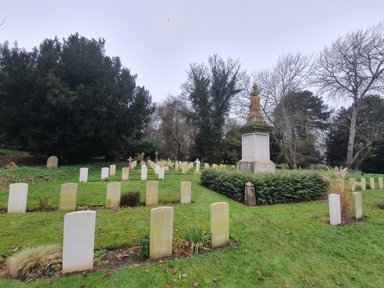
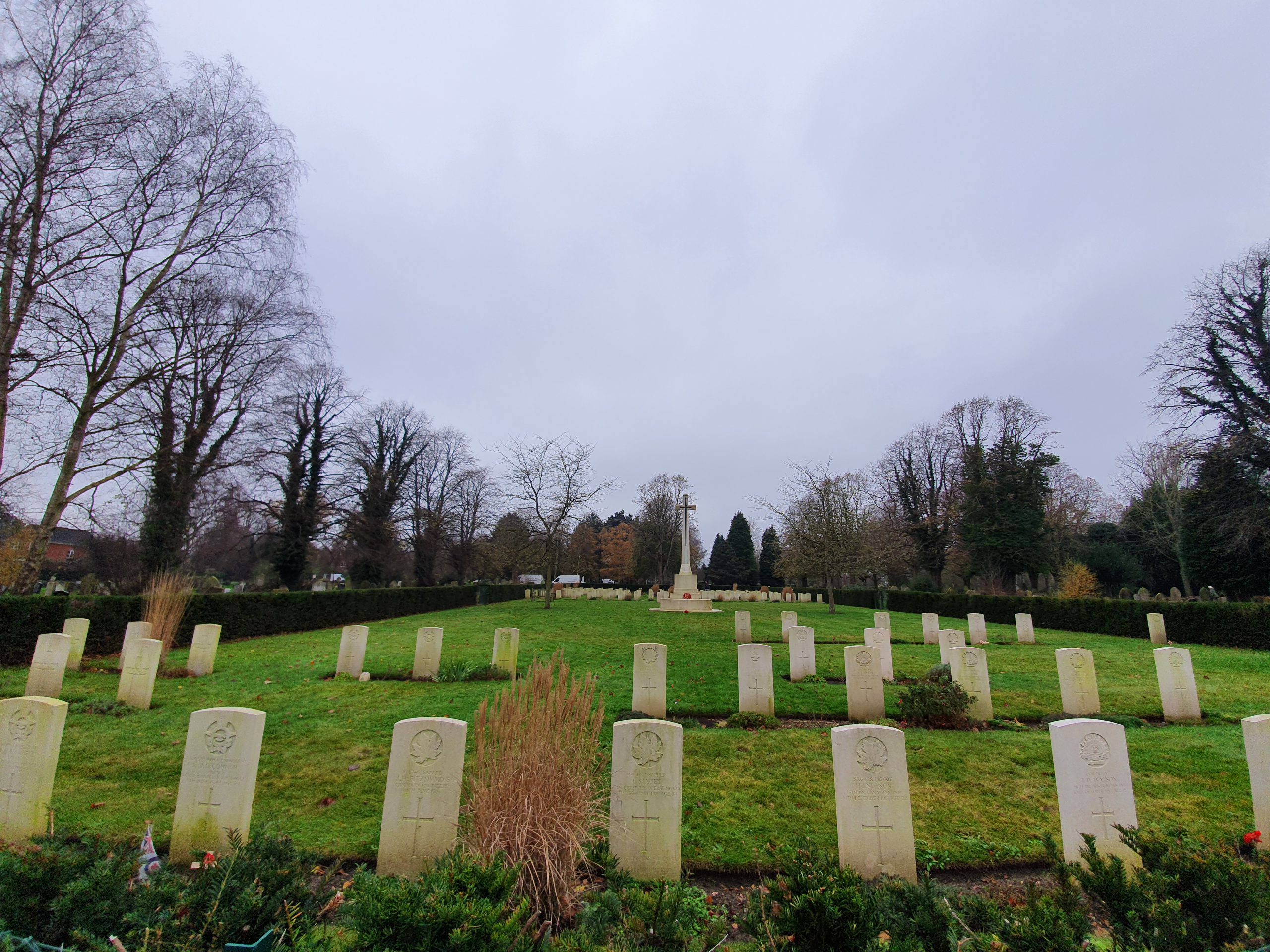
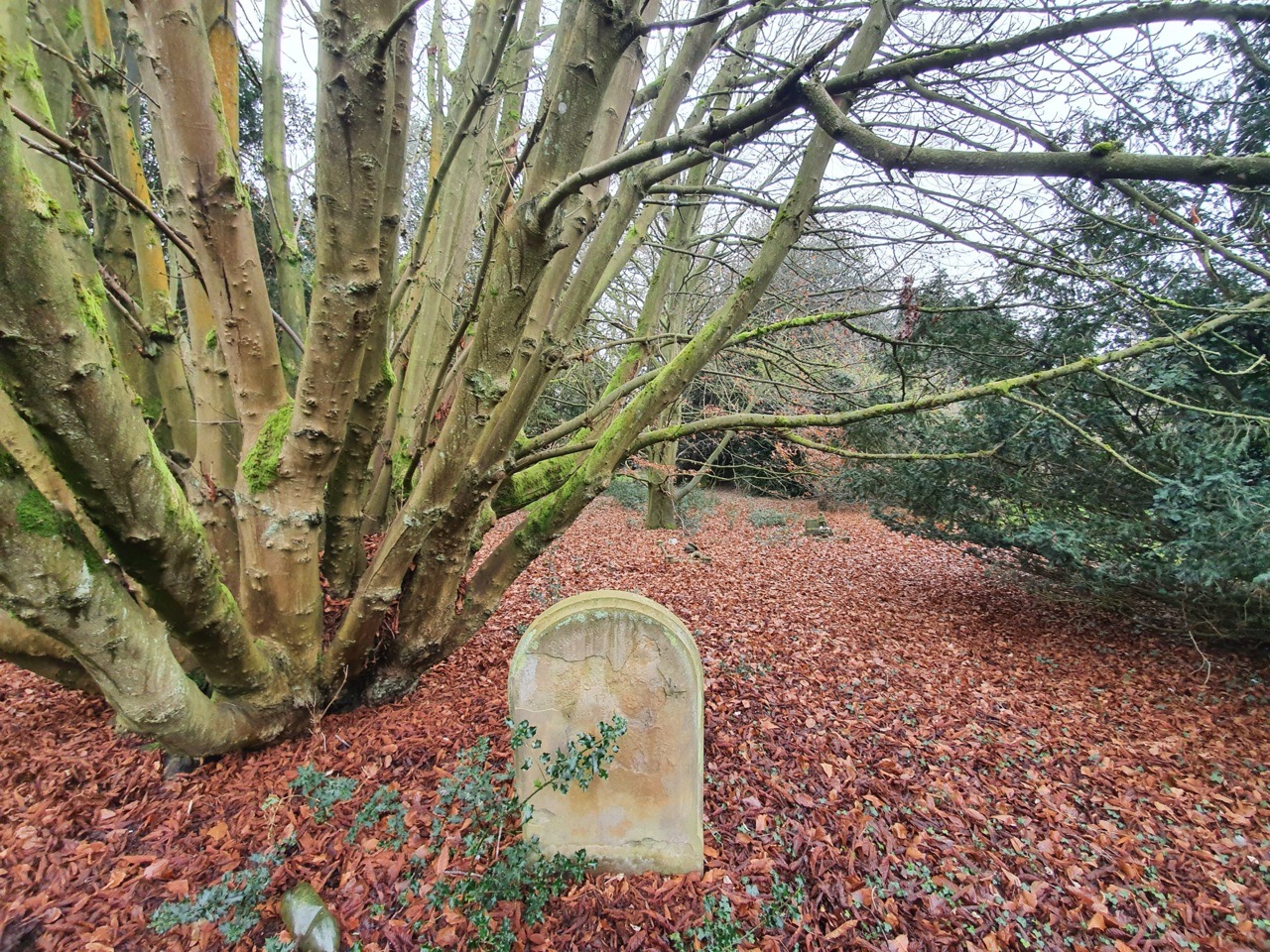
This is the grave of Private Arthur Edward Buttle which is located in the war graves area of Earlham Cemetery. Unlike some other individuals buried here, there is plenty of information available about Arthur, not least as his war records have survived. Arthur exact birthdate is a slight mystery though (more on this later), it’s not listed on either of his school admission forms (I suspect that his father had forgotten it), even though it was for other children. He was born in 1896, the son of George Buttle and Amber Buttle (nee Bridges).
At the 1901 census, Arthur lived at 108 Oak Street (unless there has been some renumbering, that house is still there) with his parents, his father working as a shoemaker and his mother working as a shopkeeper. He also lived with his older sister and four brothers, with the girl being the oldest in the family and so I’m not sure what she thought about having five younger brothers. Arthur attended St. Augustine’s School between 22 April 1901 and 30 August 1901, and then again from 28 April 1902 and 18 July 1902, and at this time his family had moved to 8 Gildencroft (this house has since been demolished).
At the 1911 census, Arthur lived with his father and three of his brothers at 58 Westwick Street (this house has since been demolished as well). Like his older brother, Arthur worked as a heel builder, whereas his father now worked as a fish hawker (someone who sold fish from a cart or similar).
Then, suddenly, Arthur moved to Oldham and I can only think that this was because of a love interest. He married Sarah Jane on 2 October 1915 in Oldham, living there with her at 156 West Street in the town (another house since demolished). Arthur got a job at Leighs Spinning Company in Oldham, a company which is still trading today, as a cotton spinner and he joined the Textile Trades Union. Unfortunately, it is probably lost to history what Arthur thought of his new home in Oldham compared to Norwich.
Arthur’s life changed when he was called up to fight in the First World War, going for his medical at Ashton Barracks on 28 June 1916. It was reported that he was 5’3″ in height, he had a chest of 33 inches and he weighed just 6.5 stone. It’s not a great surprise that the medical officer noted “he has a poor physique”, but fortunately, this was no obstacle for the military, the officer had added “will develop”. I don’t want to make assumptions, but I’m doubting whether Arthur had a particularly wealthy lifestyle, so food may not have been easy to find. As an aside, it was noted that Arthur was 19 years and 207 days old on the day of his medical, a somewhat exact figure that someone no doubt had to sit and work out. This does though help with his birthdate, which is something around December 1896.
After undergoing training Arthur was put on a boat going from Folkestone to Boulogne on 20 January 1917. His was not a pleasant war, his records show that he was sent to the front line, but he suffered from what he himself called frost-bite. The medics had decided nationally that this wasn’t an appropriate term and earlier on in the war it had been renamed trench frost-bite, which then became better known as trench foot, which is what the doctors said Arthur had in April 1917.
Worse was to come for Arthur, he was wounded on the front line in France on 23 March 1918 and he received some form of operation the day after. He spent time at the 1st General Hospital in Rouen, then the Oakhurst Red Cross Hospital in Erith and then the Royal Herbert Hospital in Woolwich before being moved to Dundee War Hospital on 9 April 1918. He remained in Dundee until 14 June 1918 when he was moved to the 1st Scottish General Hospital in Aberdeen, where he remained until 4 September 1918. His whereabouts between then and 29 September 1918 aren’t known (although more on that later), but he managed to get what I will politely refer to as an STD and won’t dwell on the details. This clearly wasn’t a rare problem, it’s the only illness that he had which the army had a stamp for, to save the disease having to be written out by the doctor. He entered Central Hospital in Lichfield on 29 September 1918 and left there on 7 January 1919.
On 17 May 1919, Arthur went for a medical and it was said there that his disability was rated at around 50% on the rough scale that they used. It was noted that he was suffering from a scar above his left eye where he had received the gunshot wound on 23 March 1918, which was leaving him with dizziness and eyesight problems. He was also struggling to walk longer distances as the problems with his trench foot hadn’t cleared up. The doctors discharged Arthur from the army at the medical and this was confirmed in his formal papers issued on 19 May 1919.
I’m not sure what Arthur thought about the army, but probably not much, as he was punished for two unofficial absences, the first on 13 September 1918 when he was fined 4 days pay, then again on 11 January 1919 when he was fined 11 days pay. During the war he had fought with the Manchester Regiment as he was living in Oldham, ending up in the 3rd Battalion, but also fighting with the 2nd and 22nd Battalions.
Arthur died on 12 December 1920, at the age of 24.


