Blog

  • Grudziądz – St. Francis Xavier Church

    Grudziądz – St. Francis Xavier Church

    [I originally posted this in June 2018, but have reposted it to fix some broken image links]

    20180620_131612

    St. Francis Xavier Church is centrally located and was built in the baroque style in the late seventeenth and early eighteenth centuries. The high altar is of particular interest  and goes to the full height of the nave. It was also a busy church during my visit and that was entirely of worshippers, rather than just visitors to the building.

    20180620_131126

    The altar was funded by Jan Czapski who was then the Governor of Chelmno and also a Great Crown Treasurer.

    20180620_131129

    I couldn’t find the date of the grand pulpit, but it seems contemporary with the altar, and this is again richly decorated.

  • Grudziądz – Banks of the River Vistula

    Grudziądz – Banks of the River Vistula

    [I originally posted this in June 2018, but have reposted it to fix some broken image links]

    20180620_092551

    20180620_092811

    20180620_092826

    20180620_093542

    I didn’t expect such a quiet and riverside area so close to the city centre. Very peaceful and there are lots of seats along the river.

    The Vistula is the longest river in Poland, and also goes through Krakow, Warsaw and Gdansk.

    20180620_094133

    I was surprised to see an orangey yellow bus randomly parked here with no-one in it. Clearly so were the police as a few minutes later a car came with lights flashing. After some investigation from the police it was given a ticket.

  • Bintree – St. Swithin’s Church (War Grave of Ernest George Vince – Deserter)

    Bintree – St. Swithin’s Church (War Grave of Ernest George Vince – Deserter)

    20250511_151925

    Located at St. Swithin’s Church in Bintree is the Commonwealth War Grave of Ernest George Vince.

    Ernest was born in 1888, the son of George Vince and Susanna Vince, the younger brother of James and Emma. George and James worked as bricklayers and this is also the trade that Ernest went into a few years later and he’s listed on the 1911 census as being the only child of the family still living with his parents. I can tell he struggled at school as his records are on-line and he was last in the class and on 11 July 1900 it was reported by the school that he was working illegally and I can imagine that he was being inducted into the bricklayer trade early on.

    And herein lies what is likely a tale of woe and an individual probably not really given a chance before things went wrong. Over the next few years there was a constant run of criminality, including stealing a watch on 20 March 1907, stealing a bicycle on 1 July 1916, stealing a bicycle on 28 August 1916 and, once again, stealing another bicycle on 4 April 1917. He was also found guilty of larceny with intent to defraud, obtaining food and lodging by false pretences and numerous other cases of cheating. On 24 March 1917, the press reported that he had deserted from the British Army and when arrested by soldiers he had managed to escape from them. He lied about being a soldier to a lady in order to get food and accommodation, deciding not to mention he was a deserter.

    He was a private with the service number 13442 in the Machine Gun Corps (infantry), formerly 18316 in the Norfolk Regiment, but his service records don’t seem to exist in any useable form. Ernest died on 28 December 1917 and was buried on 4 January 1918.

  • Bintree – St. Swithin’s Church

    Bintree – St. Swithin’s Church

    20250511_152542

    Next on the tour that Richard and I took around was to visit St. Swithin’s Church in Bintree, which was unfortunately another one which was locked up which achieved protection against anyone stealing anything and also protection against anyone seeking religious solace. Its dedication to St Swithin isn’t the most common and there’s a fascinating list of the numbers at https://www.blanchflower.org/cgi-bin/qsaint/qsaint.html, showing Swithin at 47th. The village of Bintree is listed in the Domesday Book, so it’s likely that there was some sort of religious building in the village during the Saxon period.

    20250511_152431

    The bulk of the church dates from the fourteenth century, but there are some twelfth century elements so perhaps that was the date of the first stone building on this site. It’s all quite clean and ordered without the usual mismatch of windows and features that are evident in churches. Whether that’s because it was all constructed at the same time, or rebuilt in the late nineteenth century, I’m not entirely sure. George Plunkett has a 1992 photo of the church taken from a similar angle to this one.

    20250511_152328

    The chancel is quite stubby and not very interesting from the exterior, but this is primarily as it fell down in 1806 and a smaller replacement was completed in 1815, which was then faffed about with by the Victorians in 1865. It was mentioned in the local media in 1903 that the church was in a poor state of repair, but enough money had been found to reroof the nave, so this feels like it has been a slightly neglected arrangement at times and I wonder whether it wasn’t given the same extensive modernisation (effectively often entire rebuilds) that other buildings were given by the Victorians. It has been a rather High Church arrangement in the past, but I’ll come to that separately as there are some interesting stories relating to that.

    20250511_152251

    This is quite exciting, it’s a grave cover that is thought to be that of Richard de Langbrigg, a parish priest who died in 1270. It’s an impressive survivor and it has its own Grade II listing, although he’s a little unlucky as he was located within the former larger footprint of the chancel and he’s now stuck just outside of it.

    20250511_152049

    The end of the chancel, representing the rebuild after the previous one fell down. It’s all neat and tidy to be fair.

    20250511_152053

    Helpfully dated, but I don’t yet know who those initials relate to.

    20250511_152056

    I don’t know what this is, perhaps a stone-mason’s mark?

    This church has seemingly endless contradictory dates in various sources and there doesn’t seem to be as much information about its history in common sources as some other nearby churches, even taking into account that it was historically often called Bintry Church to add extra confusion. It appears that they’ve been reluctant to routinely open this church for some time, but it is now operated by the Diocesan Churches Trust which is effectively a sign that it has fallen out of use but they just don’t want to deconsecrate it. It’s an intriguing building, hopefully I’ll be able to get to see inside at some point. This is one of those churches that I have a suspicion I’ll find out a lot more about at some stage, but at the moment it feels like something of an enigma.

  • Grudziądz – Bronisław Malinowski Bridge

    Grudziądz – Bronisław Malinowski Bridge

    [I originally posted this in June 2018, but have reposted it to fix a broken image link]

    20180620_113736

    This rather industrial bridge overlooks the city and is both the main road and rail entrance. It is named after Bronisław Malinowski, an athlete who died on the bridge in a car accident in the 1980s.

    It was first opened in 1879, when under German occupation, and it remains the longest road and rail bridge in Poland.

    The bridge was reconstructed after the Second World War, having been destroyed first by the Polish to slow the German advance and then by the Germans as they were withdrawing.

  • Ridgeway – Final FAQ

    Ridgeway – Final FAQ

    [I originally posted this in June 2018, but have reposted it to fix a broken image link]

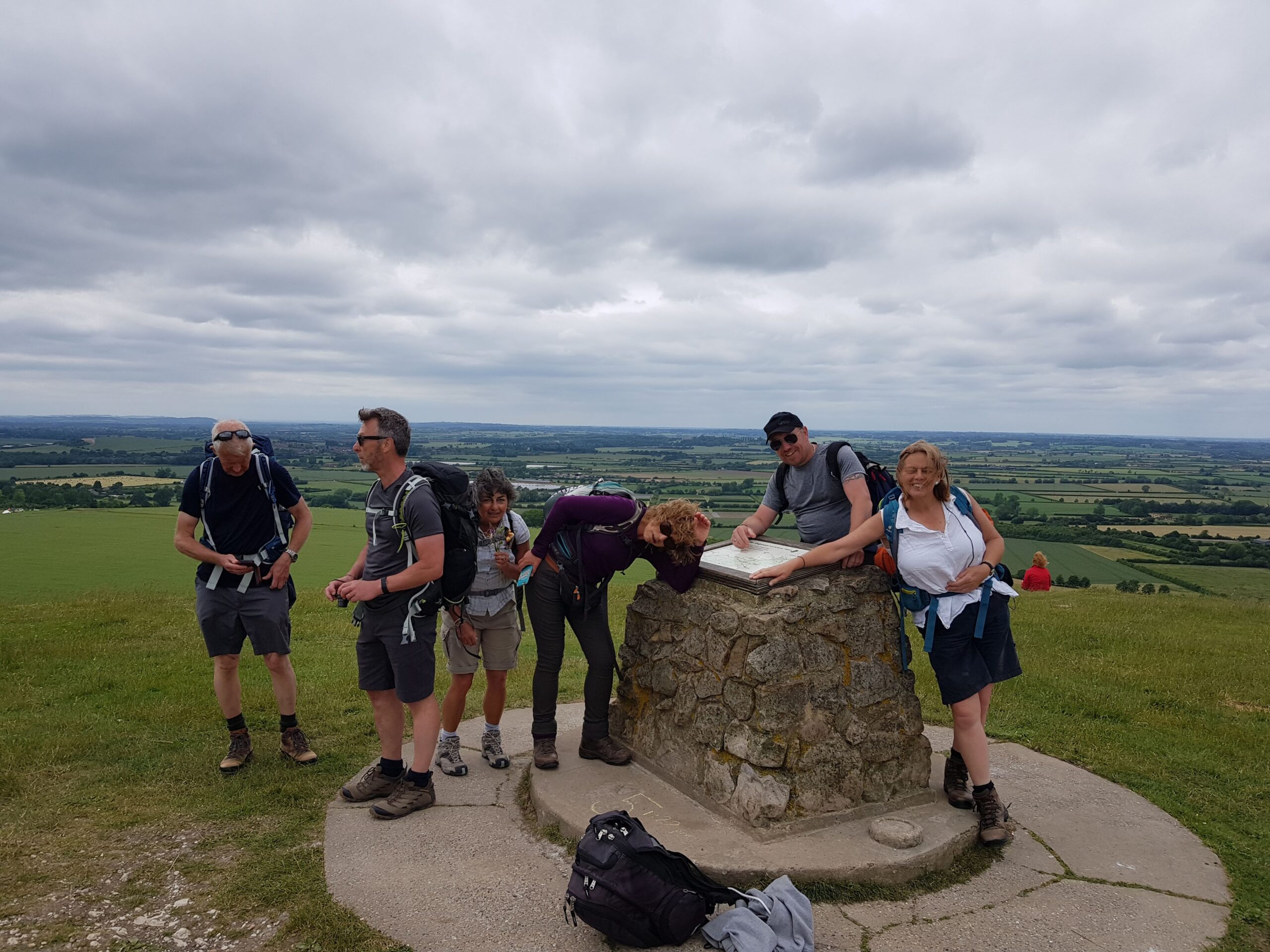
    The final post of Ridgeway 2018 is this one, and I’d like to thank everyone for a marvellous time. It was a harder walk than most of us expected, even though we’ve walked further, and even though it wasn’t a rushed week.

    So, I feel that a final FAQ is now in order as this is the post that people will read first if they stumble across this blog over future years.

    For all the posts on the Ridgeway, go to https://www.julianwhite.uk/tag/ridgeway/ and keep scrolling down  🙂

    Q. Who took part in this walk?

    A. Seven members of Hike Norfolk, Susanna, Bev, Dave, Steve, Steve M, Maggie and last, but definitely not least, Julian (me).

    Q. How far was it?

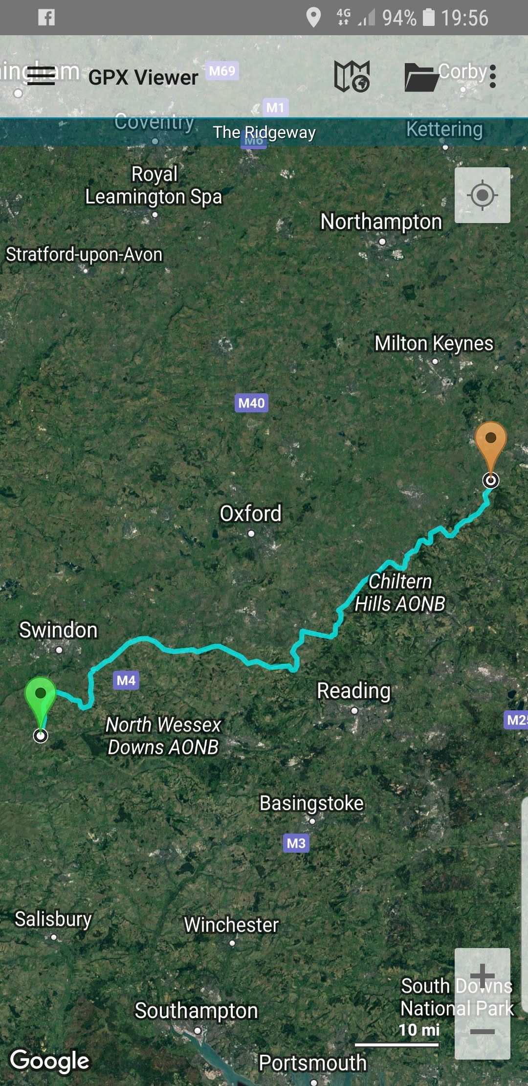
    A. The official route is 87 miles, but we think we walked 108 miles including getting to hotels and some walking around the local area in the evening (at the beginning of the week this included a lovely walk around Marlborough, towards the end of the week, it was a stumble back to the hotel room).

    Q. Is it a walk worth doing?

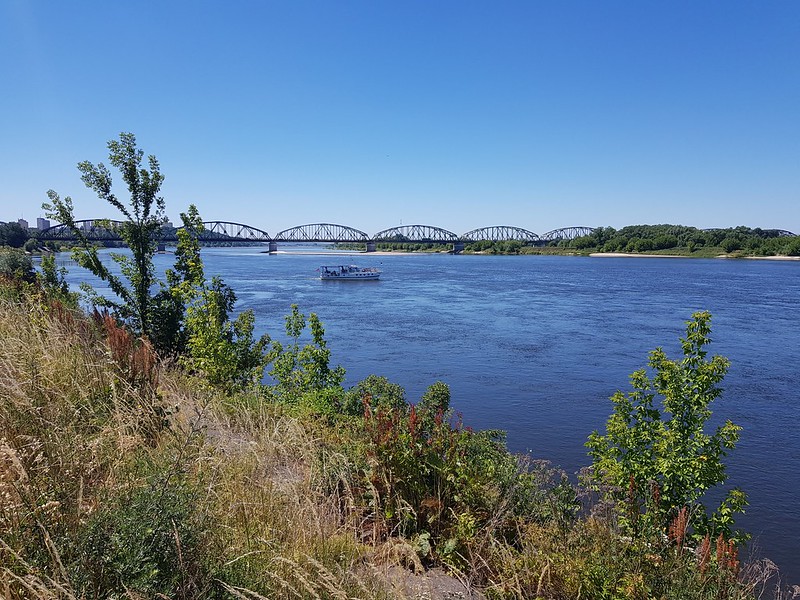
    A. Yes. The route covers a swathe of English countryside and with few exceptions, such as motorways, it feels that it remote and rural. The path crosses a few towns, but never did it feel like an urban walk.

    Q. Will Hike Norfolk be completing the walk again?

    A. We try to do a new long distance path every year. It’s unlikely we’d do it again in the near future.

    Q. Who led the walk?

    A. I did.

    Q. How would you rate the leader?

    A. Beyond exceptional.

    Q. What the best bit of the walk?

    A. Seeing the standing stones. Actually, there weren’t any, but it amused the group.

    Q. And the worst bit?

    A. There were no bad bits, but when feet are tired, the climb out of towns is a struggle.

    Q. Which way should the walk be done?

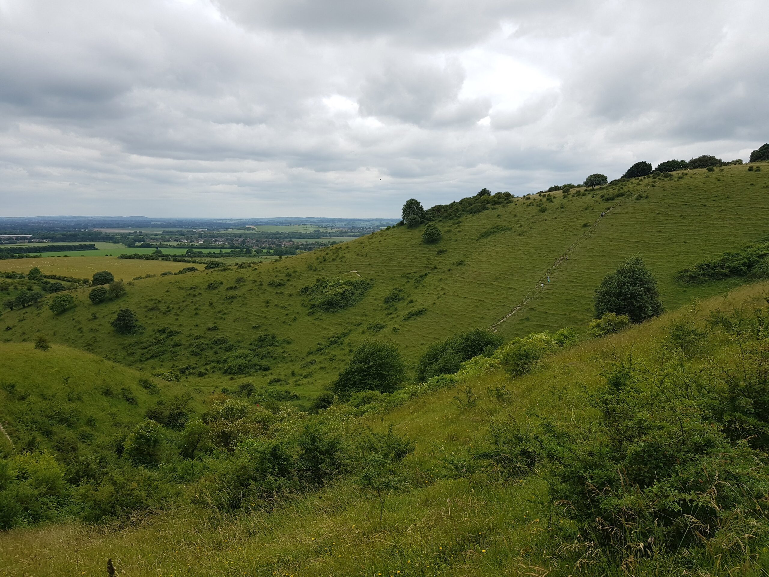
    A. Either works out, but I liked the finish at Ivinghoe Beacon, it felt like a real climax to a week of walking. Finishing at the other end, in the west, is a little bit more of an anti-climax.

    Q. How many days should the walk be done over?

    A. I know people who have done it in four, five and six. Six is the most comfortable option and is the one I’d recommend.

    Q. What’s the signage like?

    A. Well, we discovered that it was possible to go wrong, and we did on a couple of occasions. But this was mostly our fault, the signage along the route is clear and in good shape. Some idiots have tried to remove the kilometres distance off the signage over recent years, but much of this damage has been repaired.

    Q. Is there water along the route?

    A. Particularly in the western half there are numerous water sources. It’s a bit less frequent in the eastern half of the walk, so anyone attempting a wild camping option might want to take extra supplies in that section.

    Q. Are there are enough hotels and restaurants along the route?

    A. Yes, and prices are generally reasonable, but early booking is best. I might, if I ever get time, try and produce a better guide to that.

    Q. What was your group like?

    A. Loud.

    Q. Can I join?

    A. Yes. We list our walks at http://www.meetup.com/Norfolk-Area-Ramblers/ and we have lots of trips away. They’re usually booked up early, but for anyone interested, join us and follow what happens   🙂

    Q. What’s the public transport like on the Ridgeway?

    A. Generally, it’s not great. It’s easy enough to get from Swindon to Avebury by bus, and then walk to the start point. The other end does have a limited bus service, but it’s probably easier to walk back to Tring station (about 2.5 miles) where the train services are frequent. Along the way it’s likely to be a taxi that gets walkers from the route to their accommodation, assuming they’re not staying on the route.

    Q. Can the path by cycled?

    A. Cycling looks so tiring… But it can, although the routes vary in places to the walking tracks.

    Q. Are there are Greggs on route?

    A. Unfortunately, very few. There are two in Swindon and one in Marlborough, but this isn’t a route designed for eating Greggs on. I hope that in future years the situation improves, to ensure that walkers can be properly fuelled by high quality Greggs food.

    Q. Are there snakes?

    A. Probably. But we didn’t see any. We saw lots of kites and other birds along the route, and I liked to think that they were eating all the snakes. I’m not sure that kites eat snakes, but it’s a nice thought.

    Q. Are there dangerous animals along the route?

    A. I feel threatened by numerous cows, sheep and horses, but they didn’t injure us. They also seem used to walkers.

    Q. What food should I take on the Ridgeway?

    A. Crisps. They can be purchased at most shops along the route.

    Q. Any final reason why someone should walk the Ridgeway?

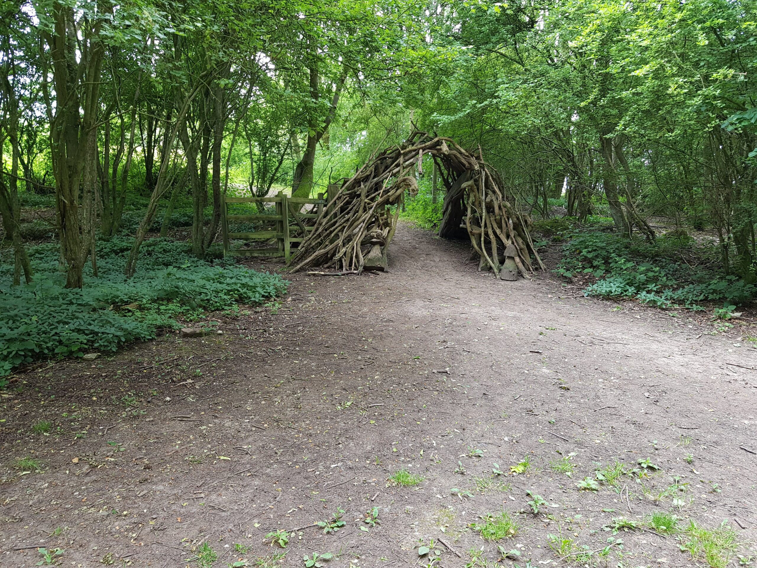
    A. It’s one of the oldest routes in Europe and people have walked along this ridge paths for thousands of years. Much of it is on chalk ridges and these didn’t get flooded or wet, hence why they were used to walk on. It also gave traders, walkers and soldiers the protection of a little height to see any dangers which might be lurking around. So, the history of this walk is rarely far away, and it adds to the whole experience to imagine people walking these very same paths such a long time ago.

    Q. Should I buy a guide book?

    A. In terms of the route, it’s not really necessary to have a guidebook to help find the way, as it’s well signed throughout. Combined with a .gpx file, it should be nearly impossible to go wrong, although we did make a few little errors over the course of the week.

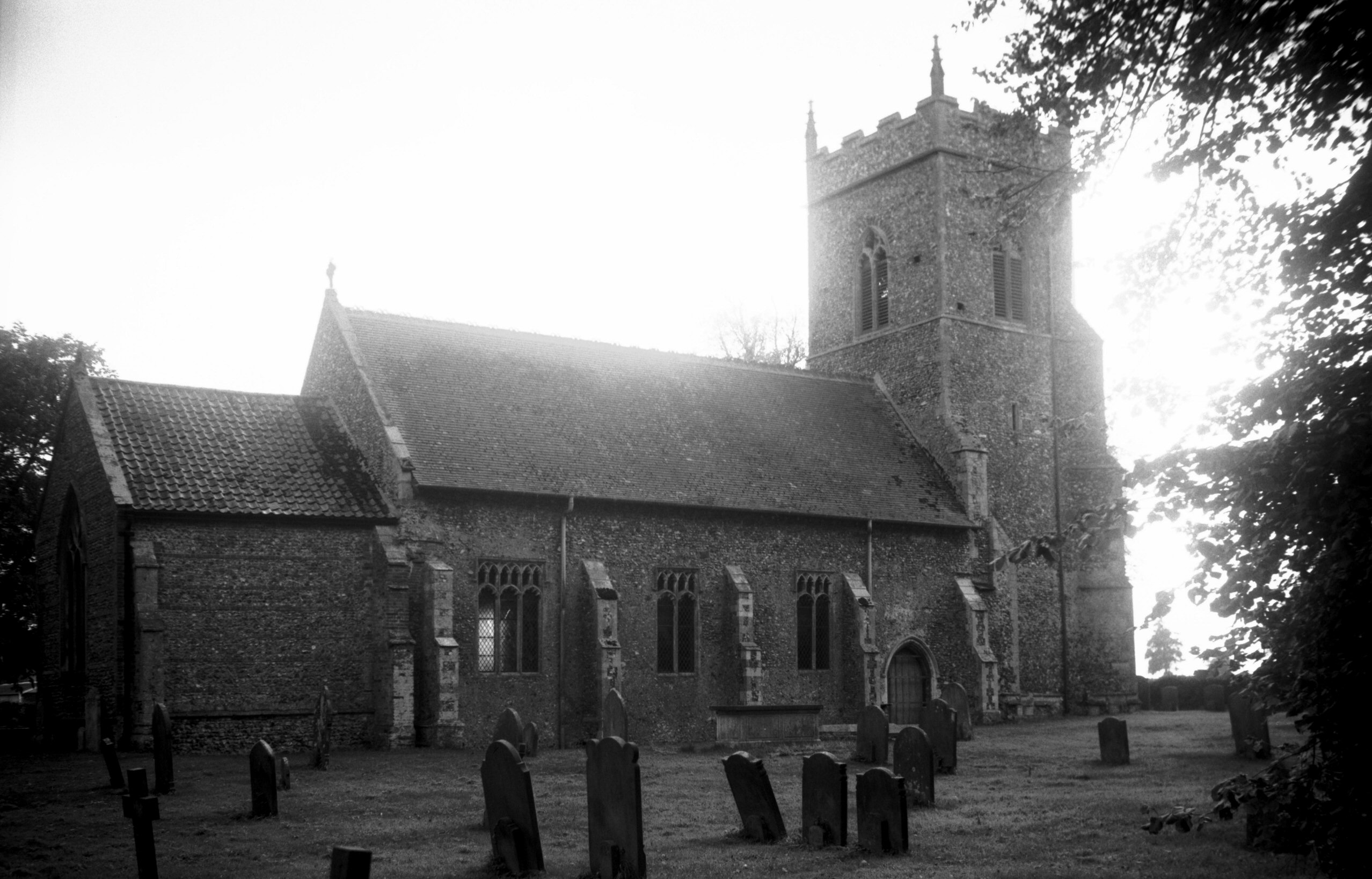
    Before I went on the trip, I used the official National Trails book, well, looked at in the library, and there are some useful things to see along the route. This is the main advantage of the book, it’s a little out of date for matters such as accommodation (which is really done best on-line now).

  • Ridgeway – Technical Information and Awards

    Ridgeway – Technical Information and Awards

    [I originally posted this in June 2018, but I’ve reposted it to fix the broken image link]

    Firstly, the awards from the week:

    BEST ORGANISER OF TAXIS : Steve

    STRONGEST WALKER : Joint award between Dave and Steve M

    BRAVEST WALKER : Julian

    LOUDEST WALKER : Bev

    BEST FLOWER ARRANGER : Bev

    MOST LEWD COMMENTS : Joint award between Susanna and Bev

    AWARD FOR GETTING TRAIN TICKETS CHANGED : Susanna

    BIGGEST DRINKER : Joint award between Bev and Dave

    MOST INAPPROPRIATE WALKER : Bev

    BEST HISTORY KNOWLEDGE : Susanna

    MOST COMPLAINING ABOUT INJURIES : Joint award between Julian and Maggie

    KINDEST WALKER : Maggie

    WALKER MOST INTERESTED IN THE WELFARE OF OTHERS : Maggie

    WALKERS LEAST INTERESTED IN THE WELFARE OF OTHERS : Joint award between Bev and Julian

    BIGGEST BUYER OF DRINKS : Dave

    THE AWARD FOR LAUGHING AT THE MISFORTUNE OF OTHERS : Joint award between Bev and Julian


    DISTANCES COVERED

    This is tricky. The walk itself is 87 miles, but we had to walk off the route to get to some accommodation. I’m excluding the distance walked before the walk started, ie, the evening in Swindon. So starting the walk from Avebury, I make that 108 miles. For Maggie and Steve M there was a shorter distance, but they are in dispute about this, so they can provide their own figure   🙂

    But, whatever the distance, the achievement of everyone was undeniable, we walked the entire Ridgeway!   🙂

  • Ridgeway – Day 6 (Summary)

    Ridgeway – Day 6 (Summary)

    [I originally posted this in June 2018, but have reposted it to fix the broken image link]

    DISTANCE WALKED: 13.1 miles

    BRAVEST PERSON: Maggie, for bravery in battling on despite a damaged foot.

    QUOTE OF THE DAY: “What a beautiful bush” – Susanna  “We’ve done it, this bloody walk is over” – Julian   “Someone has got me up the duff” – Susanna  “I think Maggie has been the biggest whinger of the week” – Bev  “I object to that, I always win the whinger of the week” – Julian  “Well done everyone, we’ve done it” – Julian


    The first bit of news is that we’ve done it. We’ve completed it, all seven of us! So well done to us all, especially Maggie who struggled with her foot on the final day, and she has won the bravest person of the day in an exceptional display which even out-matched Julian. Although it obviously wasn’t impressive enough to win the whole week.

    We started off the day at the Innkeeper’s Lodge and we decided that we really couldn’t be bothered to walk to the start of Ridgeway, so we got a taxi. Well, two taxis turned up to cater for our large party, and we had a lovely into Wendover. The distance today wasn’t that large, but that can sometimes be deceptive. We had a decent breakfast though, and Bev was moderately pleased with the quality of the ingredients. We didn’t go for the cooked breakfast though, so no complaints about the egg today.

    The one slight quirk of completing a long distance path is that it’s essential to complete every foot of the distance. That means if we stop one side of the road in an evening, we can’t start on the other side of the road the morning after. So, bar one person (who I won’t name as I don’t want the official record to show they didn’t really finish) we all crossed the road, ceremoniously touched the wall and ensured that we were on the way to completing a technically complete Ridgeway walk.

    We meandered along what was mostly a woodland walk and made good progress throughout the morning. It was a delight to arrive at Tring station, which is around two thirds of the way to the end, just after mid-day. The last section of the walk is hilly, and some of the group had been rather dreading it.

    We had a short stop at Tring station and purchased our train tickets for the journey into London later on in the day. I had a numerous cereal bars and some delicious water, which I was rather wishing was something a little stronger.

    The last section did though go relatively quickly and the incline was smooth. Bev was complaining, but we’ve developed strategies to ignore that. Bev and I had a good gossip about everyone else on the walk and we carefully compared each other notes.

    To reach the end was a complete delight, and it was great to see what everyone finished together. It’s been a long week of walking and more challenging than some of us thought, but that makes it all the more of a challenge.

    I asked a kind lady to take some photos of us all, which she did, and that will be our permanent reminder of our bravery. After a few minutes at the top of the hill we decided to get a taxi to take us to the pub. This was after having to rush to the car park to meet up with the two taxis that were collecting us, and they certainly made the journey memorable with their style of driving….

    We went to the Valiant Trooper in Aldbury, which everyone thought was suitably named because of my bravery during the week. The others forced me to have a stout and a fish & chips meal, and being a helpful person, I agreed. It was delicious and a very positive end to the whole event.

    At this stage Dave, Susanna and Steve joined me in the journey back to Norwich via Tring railway station, London Euston and London Liverpool Street. Without giving too many details and getting someone into trouble, we were allowed to get an earlier train for free. I will though say that Susanna is a wonderful woman for arranging this! Indeed, she soared past Bev in wonderfulness during the afternoon.

    On the train Steve battled through to get us coffees and cake and I started to eat my four sandwiches which I had got cheap from Boots for 50p each. A thrifty approach to food is essential in this day and age. We’re all now on the train on the journey home whilst I catch up on the parts of the blog that I didn’t get time to do in the week.

    So, overall, thanks to Maggie, Steve, Steve M, Dave, Susanna and Bev. Everyone added something different to the week and I’m pretty sure that we’ll always remember Ridgeway 2018   🙂

  • Ridgeway – Day 6 (Summary)

    Ridgeway – Day 6 (Summary)

    [I originally posted this in June 2018, but have reposted it to fix some broken image links]

    The photos from day six of our walking adventure, the final day!

    20180616_100012

    20180616_135659

    20180616_112150

    20180616_134538

    20180616_090918

    20180616_124646

    20180616_105228

    20180616_125237

    20180616_113143

    20180616_085631

    20180616_134533

    20180616_111639

    20180616_093456

    20180616_112145

    20180616_135951

    20180616_092349

    20180616_102726

    20180616_135847

    20180616_133225

    20180616_093422

    20180616_122554

    20180616_133522

    20180616_135907

  • 200 Years Ago in Norwich : Great Hospital Expanded

    200 Years Ago in Norwich : Great Hospital Expanded

    In my latest occasional series of newspaper articles from 200 years ago this week, this was published in the Norwich Mercury in May 1825.

    “A special assembly of the Corporation was held on Wednesday last, to consider of making an increase to the Great Hospital. In the Commons, the following proposition was made by Mr. Goodwin, and seconded by Mr. Bennett—“That a new ward should be erected capable of containing twelve beds.”

    Mr. Skipper moved, as an amendment, “That an addition be immediately made to the Great Hospital, by the erection of forty cottages.” This was seconded by Mr. Edw. Taylor. On a division the numbers were,

    For Mr. Skipper’s amendment 27
    Against it 9

    —Majority 18″

    I took my exams in the Great Hospital, so I feel some sort of connection with the place. The institution dates back to 1249, when Bishop Walter de Suffield set it up to care for “twenty poor folk” – a mix of aged, infirm and needy townspeople. Over the centuries it grew into a complex of almshouses, a chapel, a schoolroom and a small infirmary. The beginning of the nineteenth century was a challenging time for Norwich in terms of the number of people struggling, the clothing industry was becoming less financially lucrative and the population of the city grew from 37,256 in 1811 to just under 50,000 a decade later.

    But back to the expansion of the hospital, as during a special assembly of the Corporation, held on a Wednesday in early May, the matter of increasing the hospital’s capacity was brought forward. Mr. Goodwin proposed the erection of a new ward capable of housing twelve beds, a proposition that was seconded by Mr. Bennett. However, an amendment was swiftly introduced by Mr. Skipper, suggesting a more substantial addition in the form of forty cottages. With regard to “the Commons”, the city of Norwich possessed a civic structure where freemen, individuals who had either inherited the status, completed an apprenticeship, or purchased the right, could participate in civic matters within a common assembly. By 1790, the electorate in Norwich included both freeholders and freemen who held the right to vote for key municipal officers, including the mayor, sheriff and members of the common council. They had some more money to spend from the rental income that they were generating and this was an early form of the social care that slowly evolved.

    Matters seem to have changed a little in the planning, as there were twenty cottages erected in 1826. They’re still there today, known as the White Cottages, although they’re mostly used as offices today.