Streets of Norwich – Wherry Road
Part of my Streets of Norwich project….
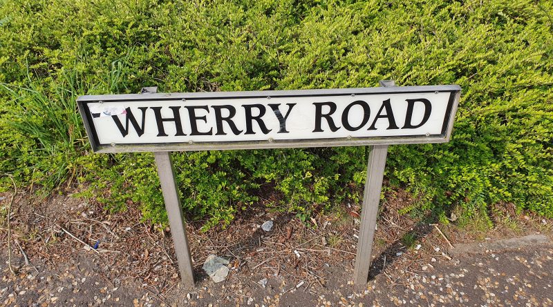
Wherry Road, named after the type of boat that carried cargo along the River Wensum, is a relatively new road which isn’t visible at all on the above map from 1900. It starts from the middle of where the Goods Station once stood, then goes down parallel to the river before following the route where it says “allotment gardens” and then stops where I’ve put the cursor, which is now Koblenz Avenue.
At some point in the mid-twentieth century, a road was placed alongside the river, which in turn was ripped up in around 1999 when work on the Riverside retail complex started. The main road was rerouted to the new Koblenz Avenue and Wherry Road was formed, a mainly pedestrian road.
Wherry Road from the railway station end, so I’m now standing on where the goods shed used to be. As an aside, back in the day, the goods shed was bigger than the main passenger terminal at Norwich railway station.
The mural above Frankie & Benny’s. As another entirely random aside, before the Covid-19 situation, I was pretty much deluged from various sources with ridiculous discounts of getting up to 60% off from this restaurant. I always felt sorry for people who just walked into the restaurant thinking they were going to get a decent meal, perhaps spending money that they didn’t have as a birthday treat, without realising that the owners were giving huge discounts to nearly every other diner. I’d be surprised if the chain survives in its current form, but that’s a matter for another day.
This photo was taken on a Bank Holiday Sunday, it’s not quite what the business owners down here must have been expecting. TGI Fridays on the right, I’m still missing their unlimited appetisers.
Las Iguanas on the left, JD Wetherspoons on the right.
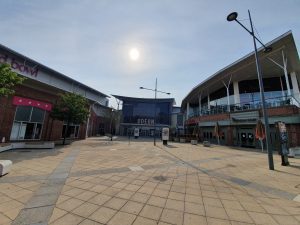
Hollywood Bowl on the left, the Odeon ahead and Nando’s and Las Iguanas on the right. All deadly quiet….
I’m not sure how well these buildings were constructed, but I’m not sure that they have a long life ahead of them. Riverside has quite a pleasant vibe generally, and is usually busy on most evenings, with a large car park for those who like that sort of thing.
The entrance to Lady Julian Bridge.
The Queen of Iceni, which is a JD Wetherspoon outlet, named after Boudicca. There was a railway track which reached to pretty much exactly where the pub’s front door is now.
The rear of the Odeon cinema on the left, as the area now becomes residential.
Leading onto Albion Way to the left.
The Novi Sad Friendship Bridge, and a new housing development alongside it.
And looking towards the end of Wherry Road, with a leisure centre on the right and ahead is Carrow Road, Norwich City’s football ground. This is the area that was previously allotment gardens, so no doubt it was once quite serene and peaceful.
And, that’s Wherry Road, not the most of intriguing locations in terms of history as it’s all around twenty years old, even the two bridges are newly constructed within that time.

