LDWA 100 – Training Walk 8 (Finding the Source of the River Wensum Part 1)
This was our eighth walk in preparation for the 2021 LDWA 100.
WALK NUMBER: 8 (Finding the Source of the River Wensum Part 1)
DISTANCE COVERED: 15.1 miles
NUMBER OF NATHAN’S FRIENDS WE “ACCIDENTALLY” BUMP INTO: 1 (they didn’t recognise Nathan)
SUFFICIENT BEER CONSUMED: No (all the pubs are shut)
PUBS VISITED: 0 (not through choice)
WEATHER CONDITIONS: Sun
ATTACKED BY ANIMALS: No
NUMBER OF SNAKES SEEN: 0
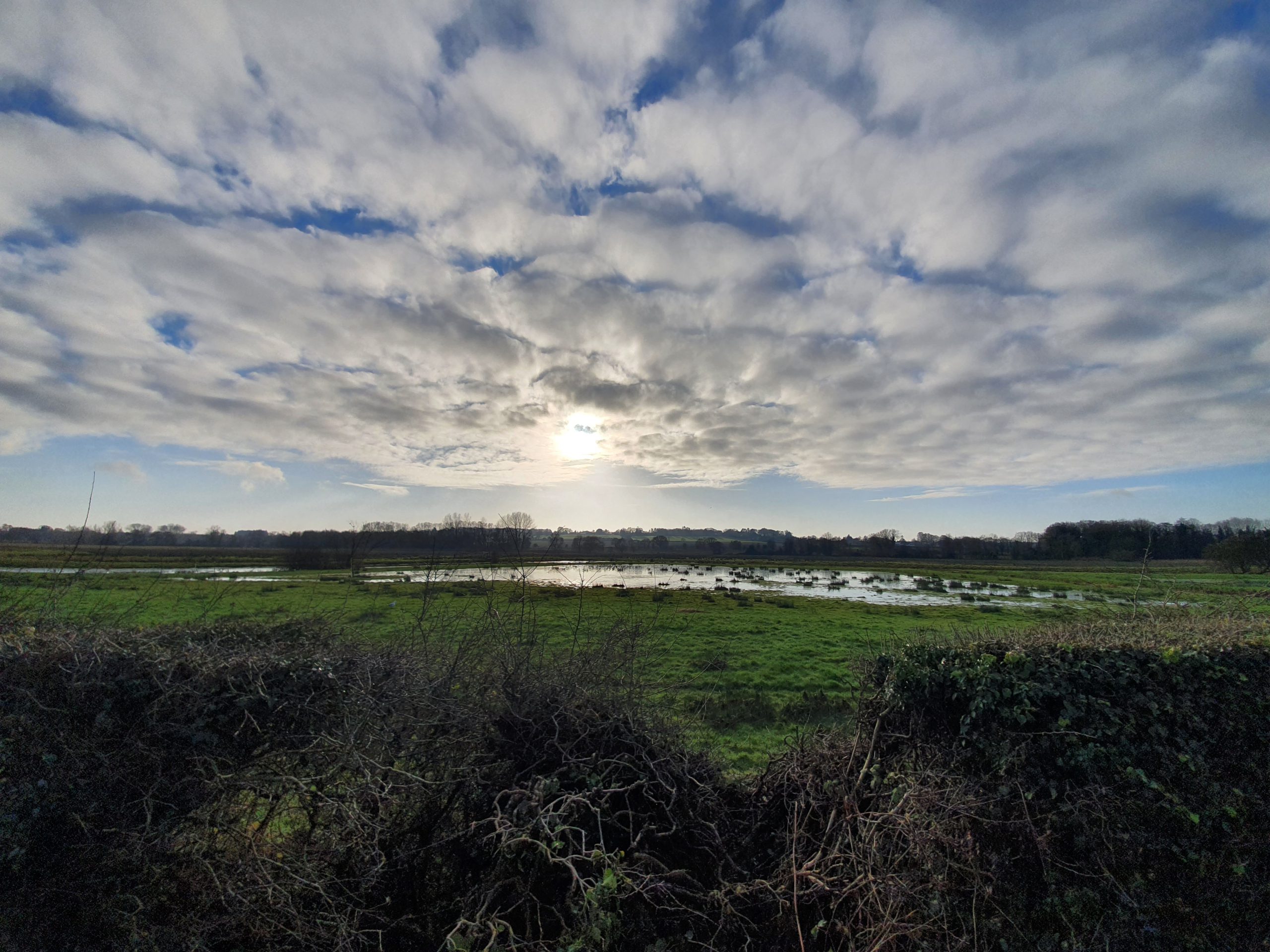
Finding the source of the River Wensum. It’s not exactly the exploration of the Amazon I will admit and I’m not sure that Michael Palin will be making a television series of this. But, travel is limited at the moment and so Nathan and I had this plan to walk to the source of the Wensum which is off somewhere near Fakenham.
However, it became apparent that using public transport or getting a lift back from Fakenham isn’t really within the current rules on travel. So, we decided to split the walk up into different sections and today we followed the River Wensum from Norwich, where it ends when it meets the Yare, to a point a few miles away and then we planned just to walk back. I thought we saw more history and river than we had anticipated, so it was a useful exercise. It means that there will be a part two (and maybe part three) to this plan, but it won’t be until we’re allowed to use public transport again.
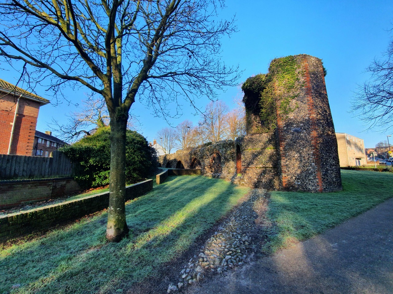
This was the starting point of the walk, part of the city wall and it’s actually not far from the River Wensum. We didn’t follow the Wensum for the first part of this walk, instead joining it further along as we wanted to avoid the city centre at the moment.
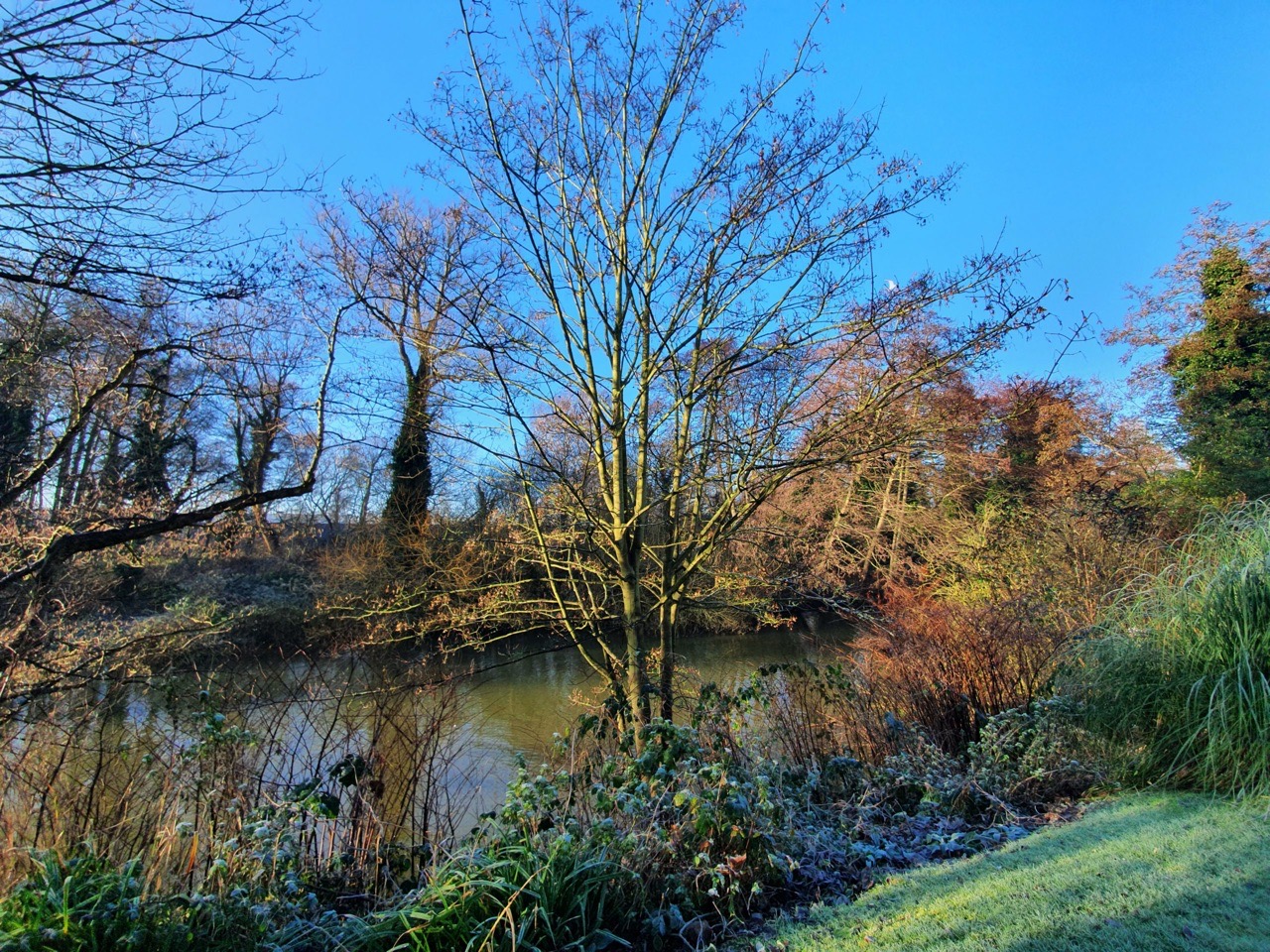

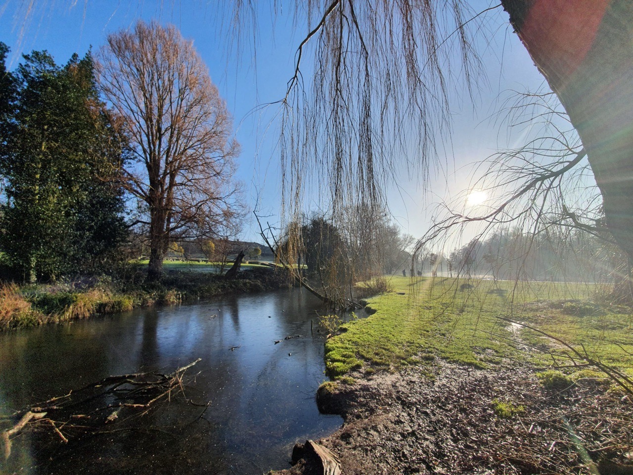
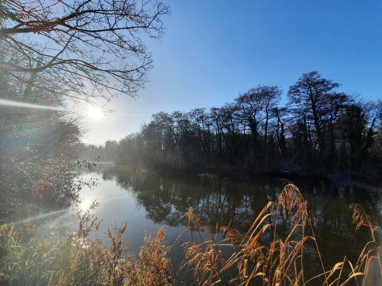
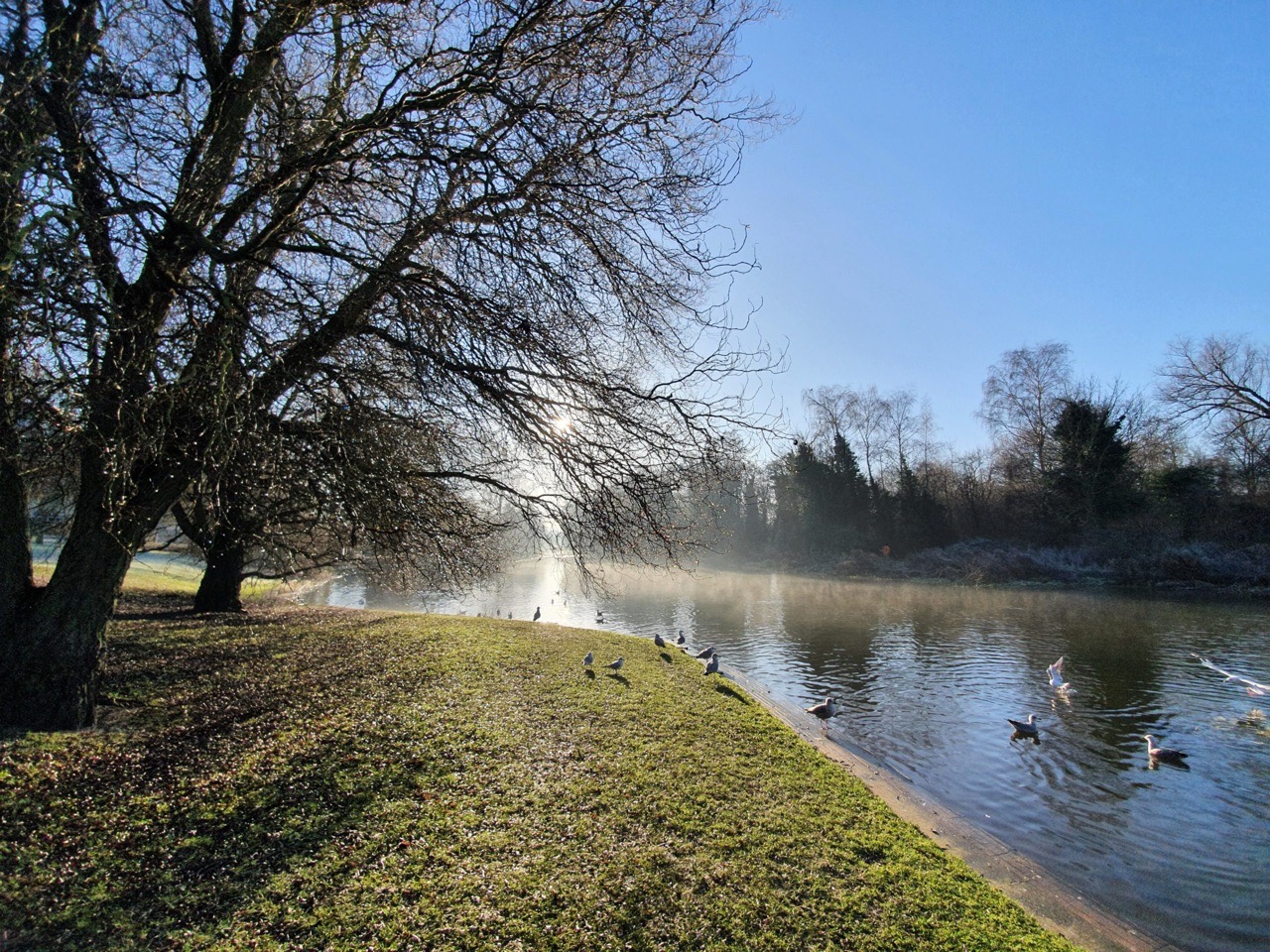
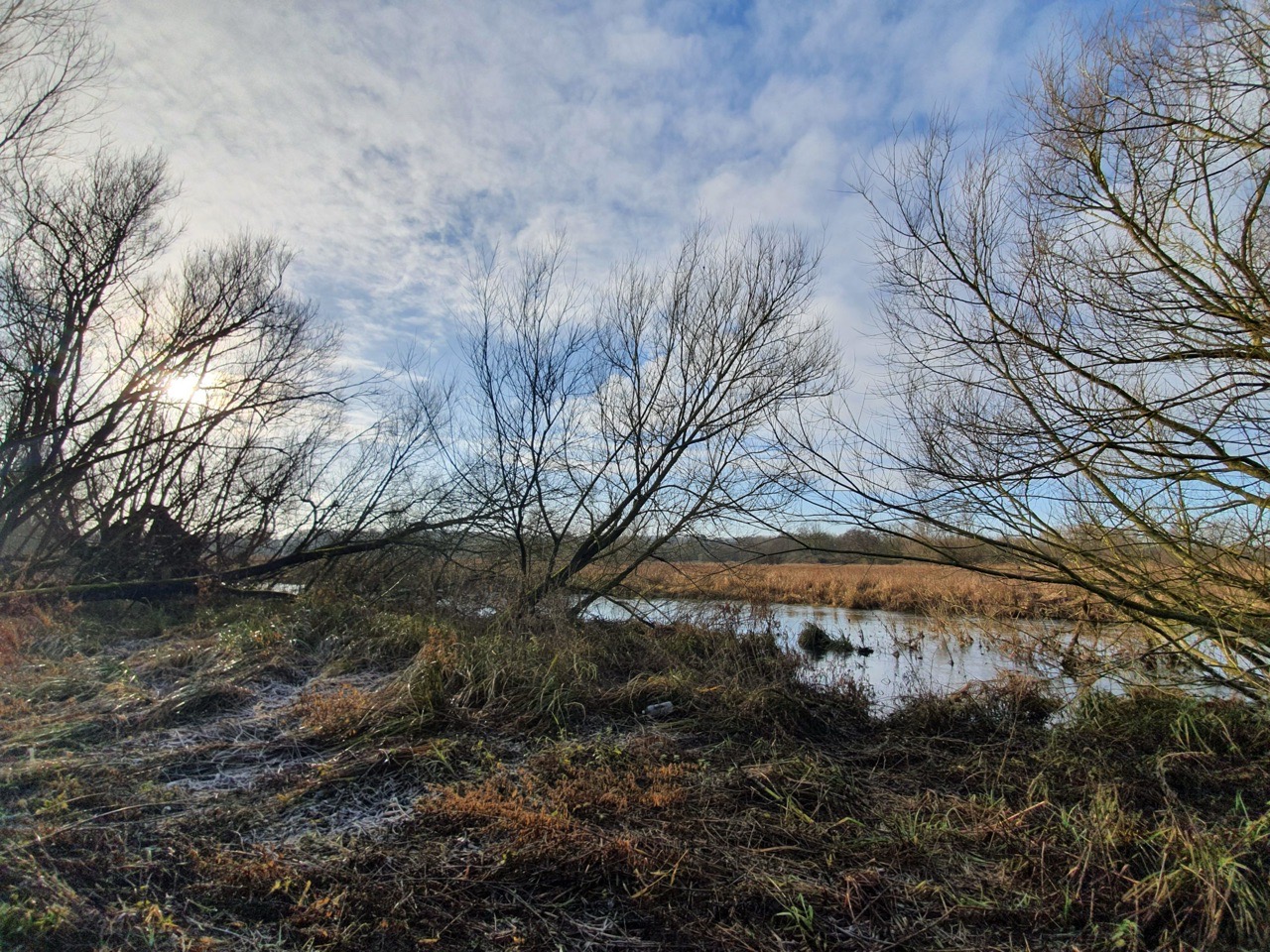
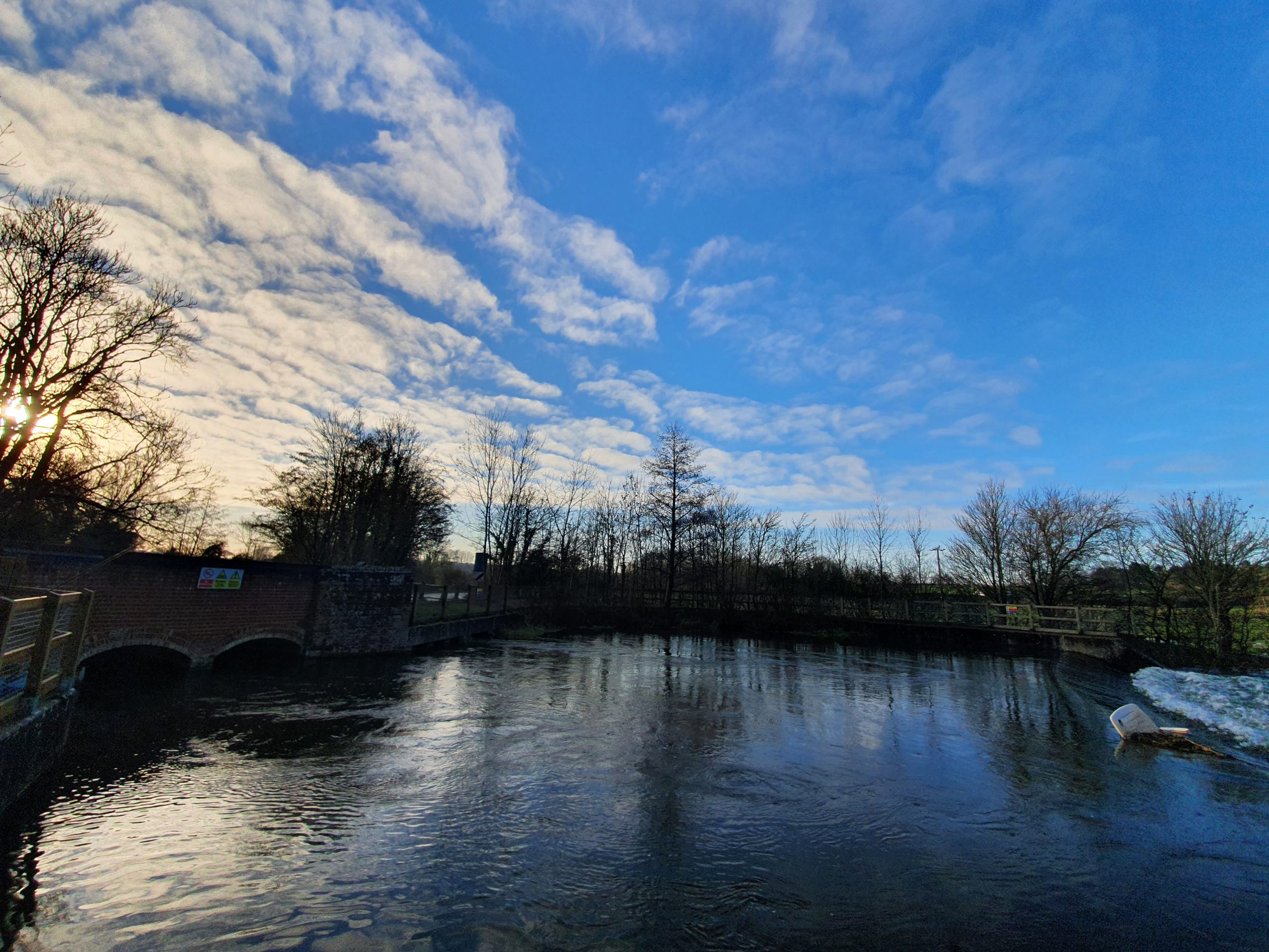
These photos are all from the river section at Wensum Park, which looks rather beautiful in the morning. Best known now as where Nathan dumps his unwanted bread into the river, this stretch of land was purchased by the city council in 1907. This was rather forward thinking of them, a useful amenity for the people of Norwich and they built a swimming pool, paddling pool and wading pools for the locals to use. The locals responded to this by using the swimming pool as a refuse tip, so a new plan was put forwards by the council to use the area as a public park. Designed by Captain Sandys-Winsch and constructed with unemployed labour, the park was opened in 1925 and it remains in use for that purpose today.
Just a little further along the river, this looks quite remote, but it’s actually next to the Recycling Centre at Mile Cross.
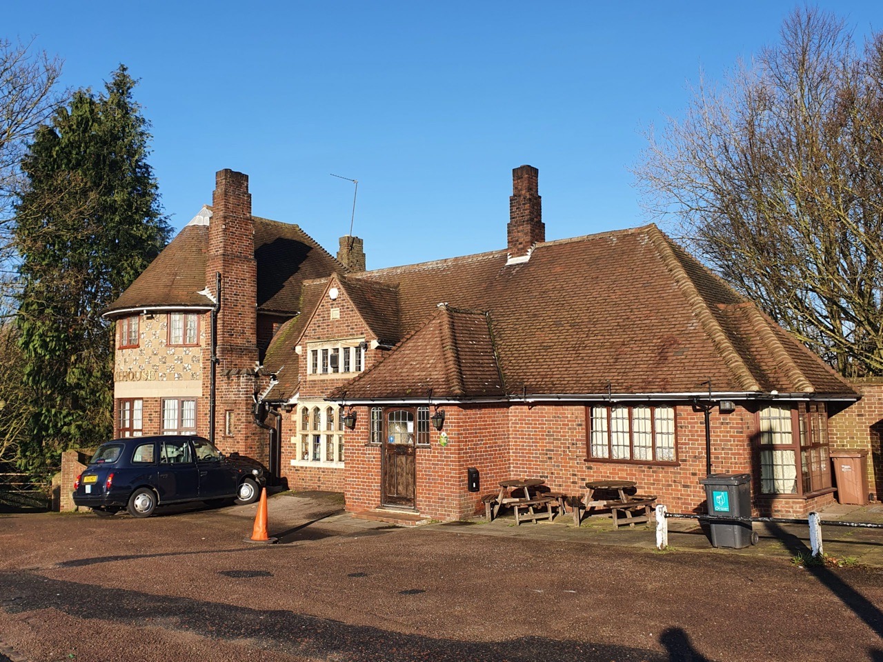
We did plan, many years ago, to come to the Gatehouse Pub at some point, partly as it’s on the CAMRA Regionally Important Historic Interiors list. Now that we finally get here the damn thing is of course shut, but we’ll go back when pubs re-open. The pub has a large beer garden which stretches down to the Wensum and it’s built on the site of a former toll-house.

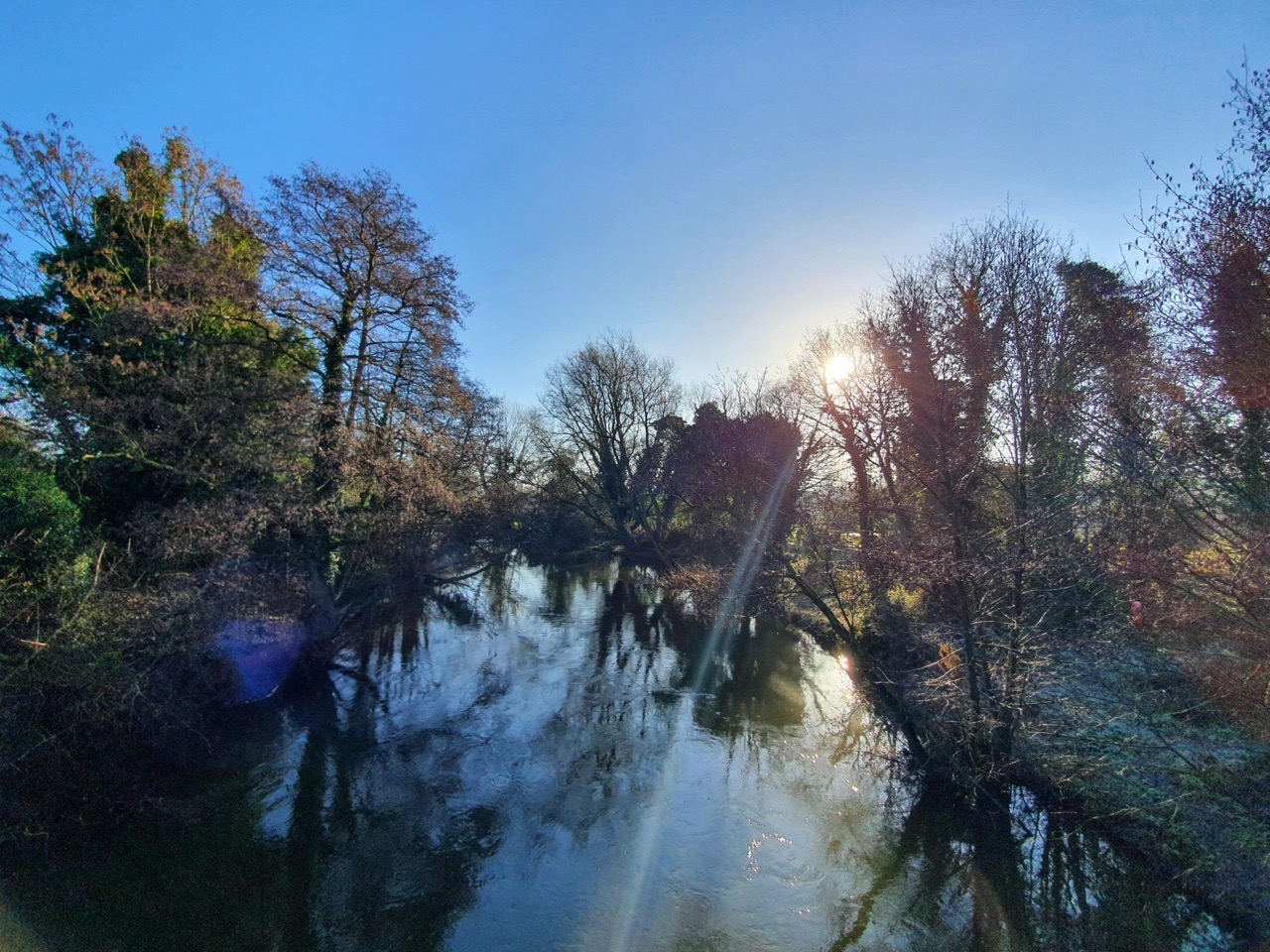
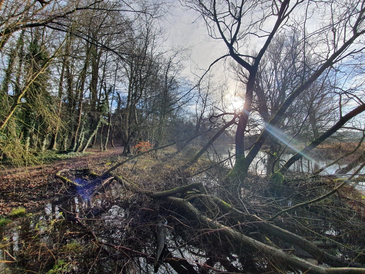
A stretch of the Wensum just off Hellesdon Road. It was around here that I started to try and break the iced up sections at the side of the river like some kid…. I got bored of that quite quickly when I realised that I might fall into the mud.
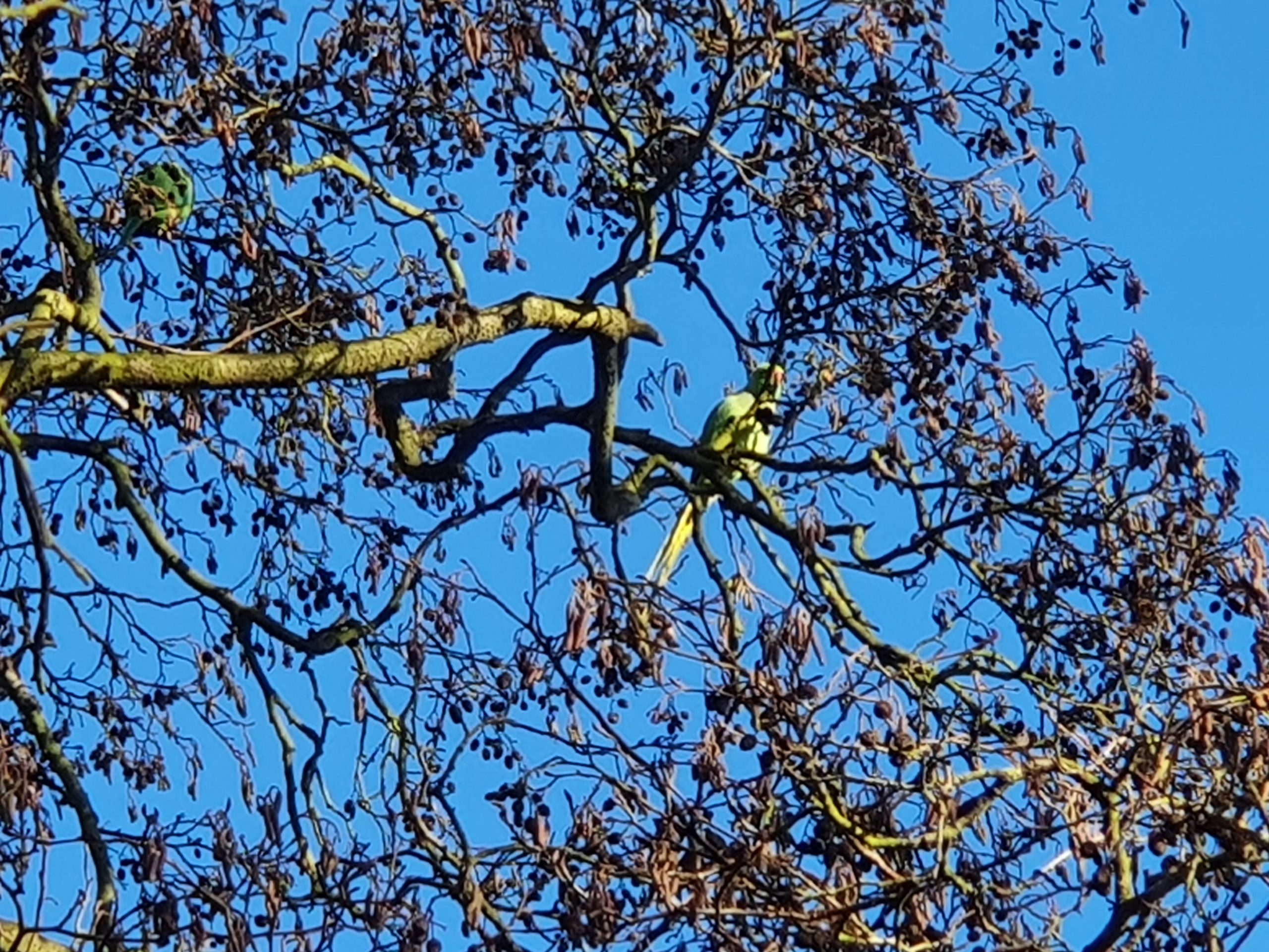
I read the other day in the newspaper that there are parakeets flying about all over England, which is giving some concern as they’re not a native species. And there were several in the trees here, I think they’re rather interesting birds which add some character, but maybe their invasive behaviours upset seagulls or something. Nathan used his wooing skills, which seemed to be similar to the random noises he makes to his cat, to charm the parakeets down. It didn’t work. I pretended that I thought Nathan was like Bill Oddie and it was very surprising to me the birds didn’t flock down.
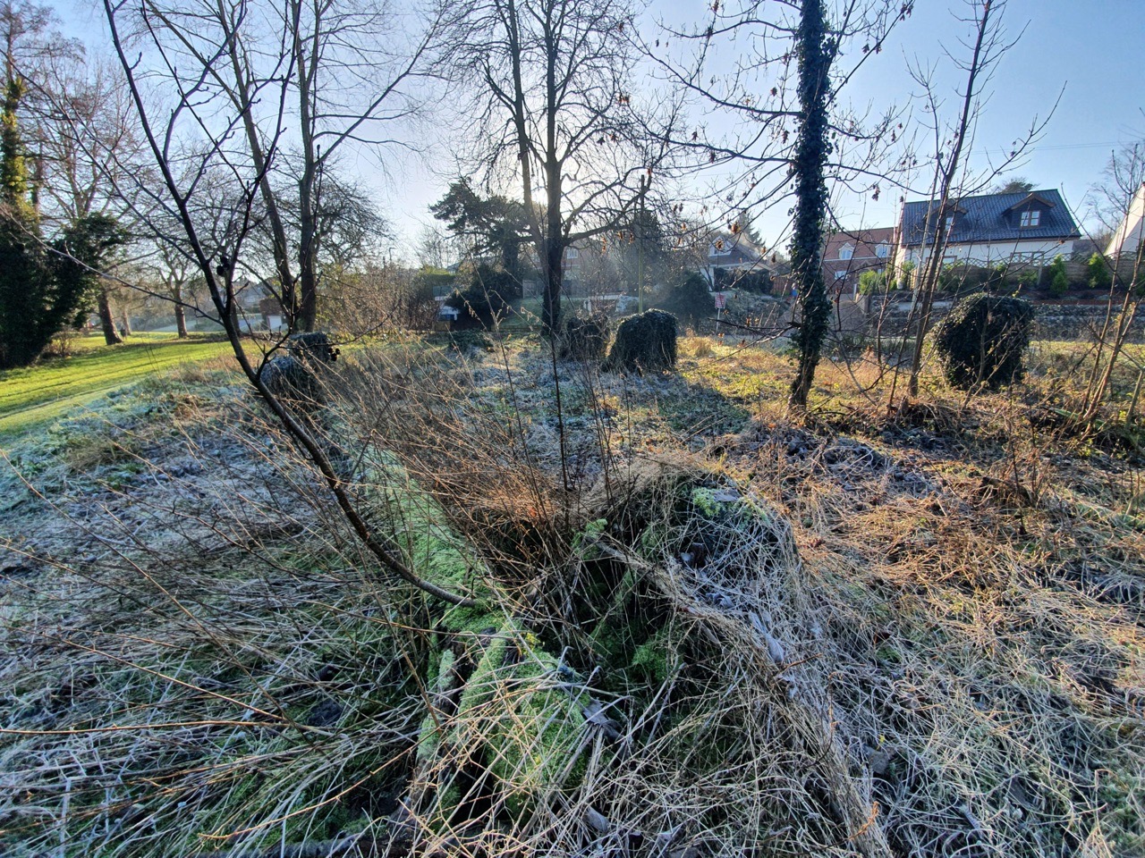
A little collection of cut down trees.
This is the river at the junction with Hellesdon Road, near to where Marriott’s Way is. We didn’t walk on Marriott’s Way (the former railway line that got shut down in the 1960s) on the way out, instead remaining on the other side of the river bank.
This was rather lovely for Nathan, back to where he got married last year.
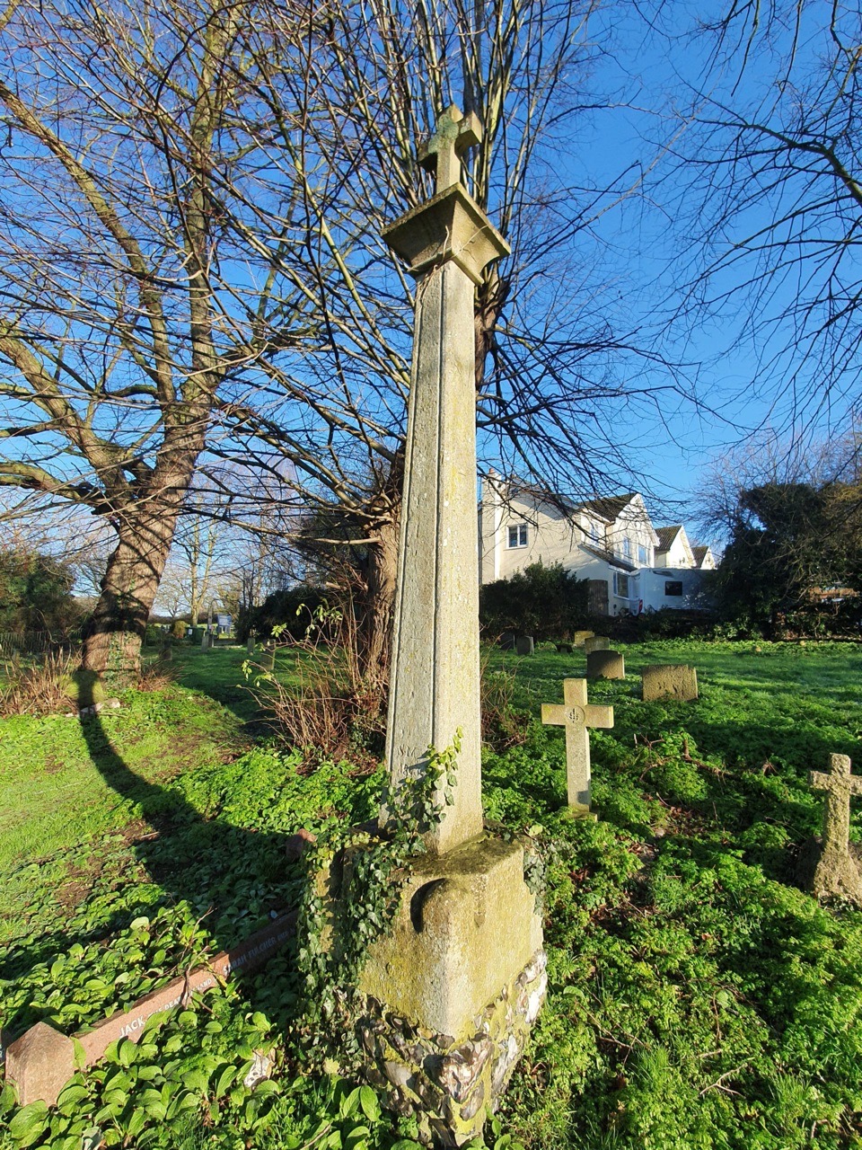
The medieval standing cross in the churchyard. The lower section is thought to have been in situ for over 700 years.
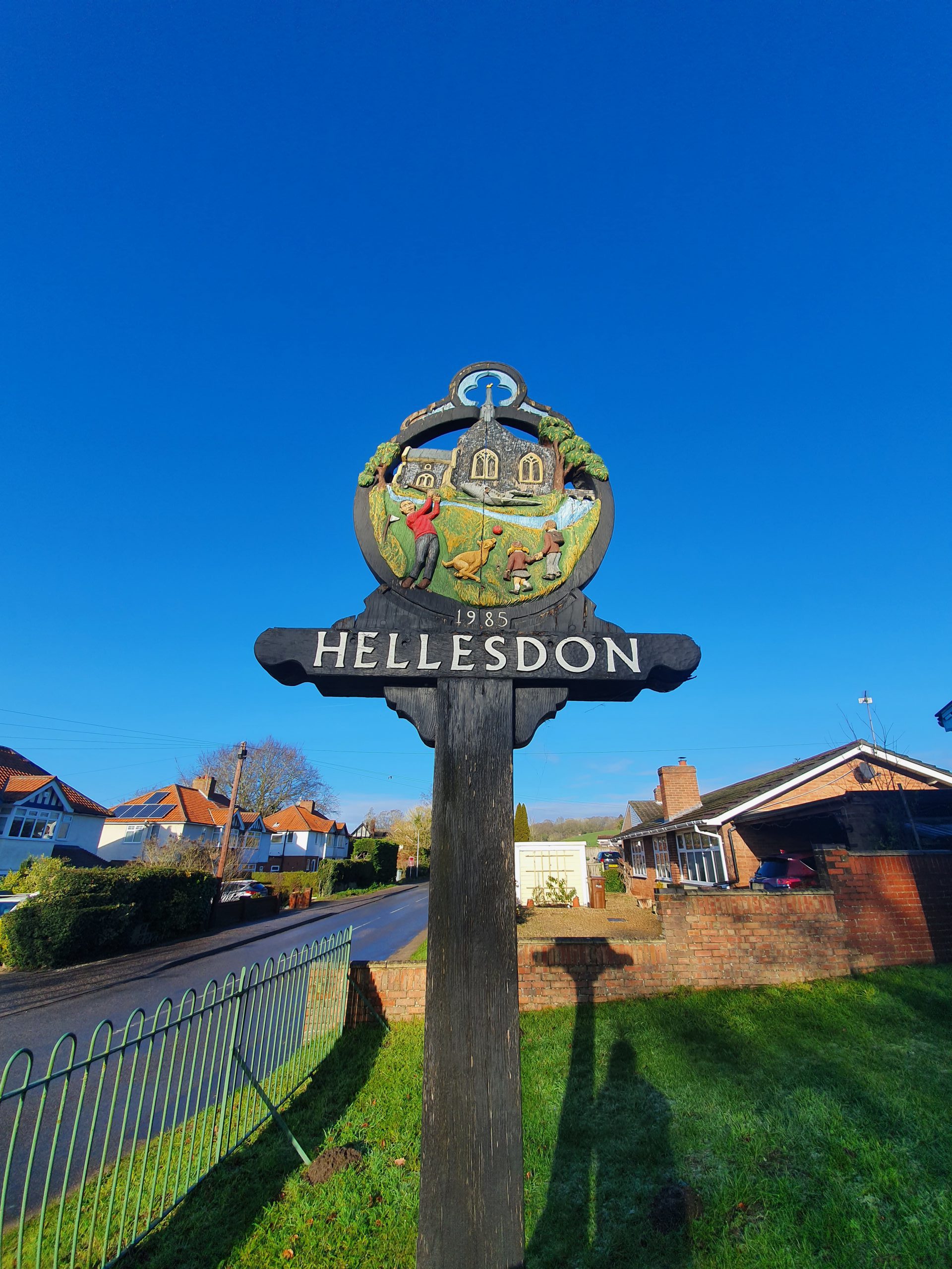
The village sign.
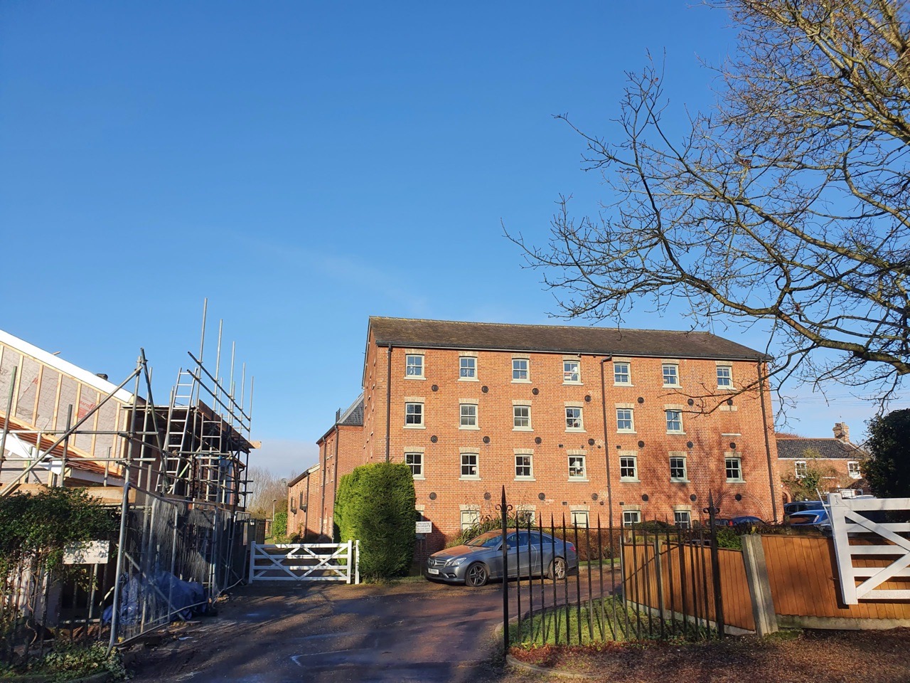
It’s now been converted into residential properties, but this was Hellesdon Mill, a formidable building.
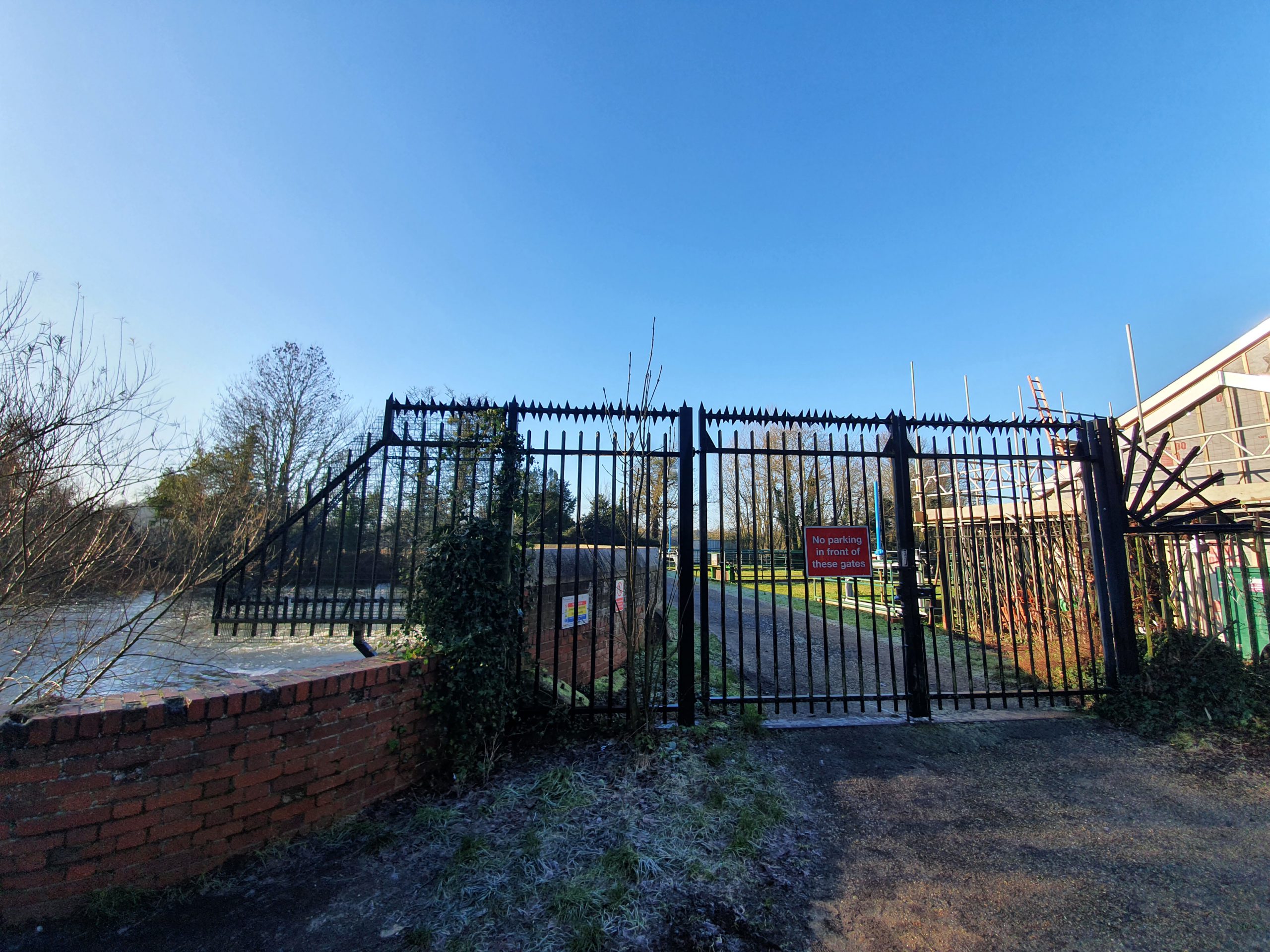
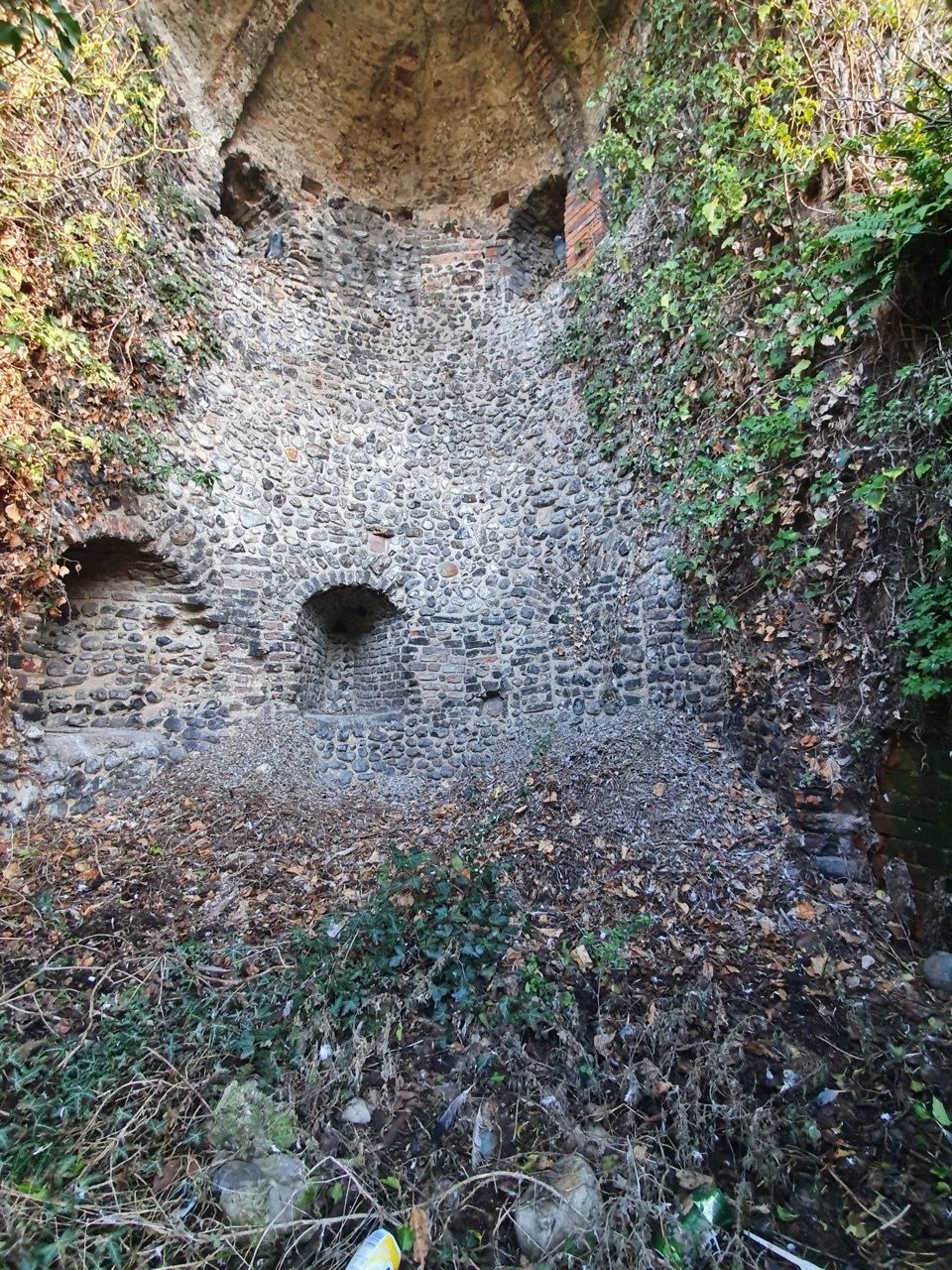
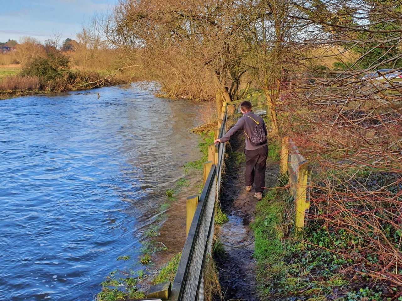
We did have a plan to investigate this area as it’s by the river, but it’s owned by the Environment Agency and they’ve kept their bridge firmly locked to discourage anyone from crossing it. We didn’t try.
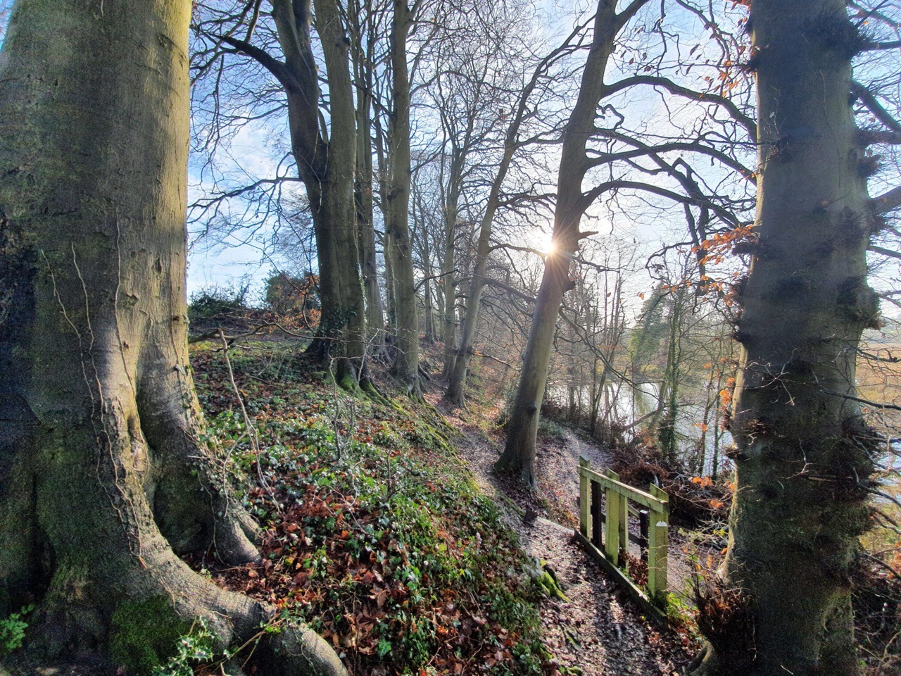
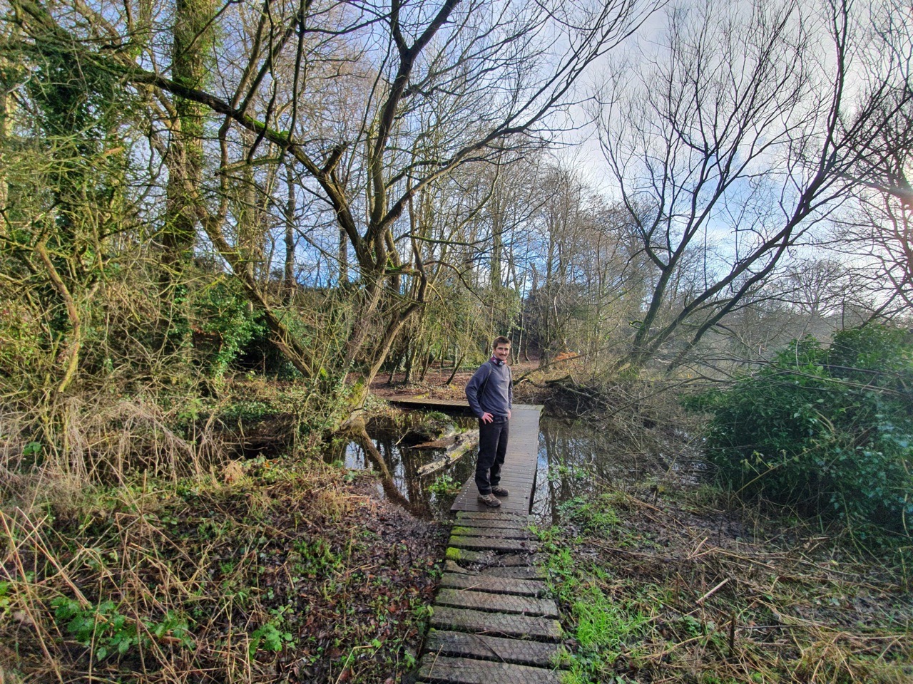
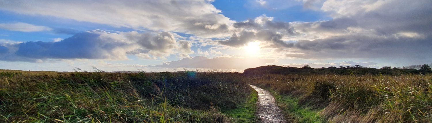
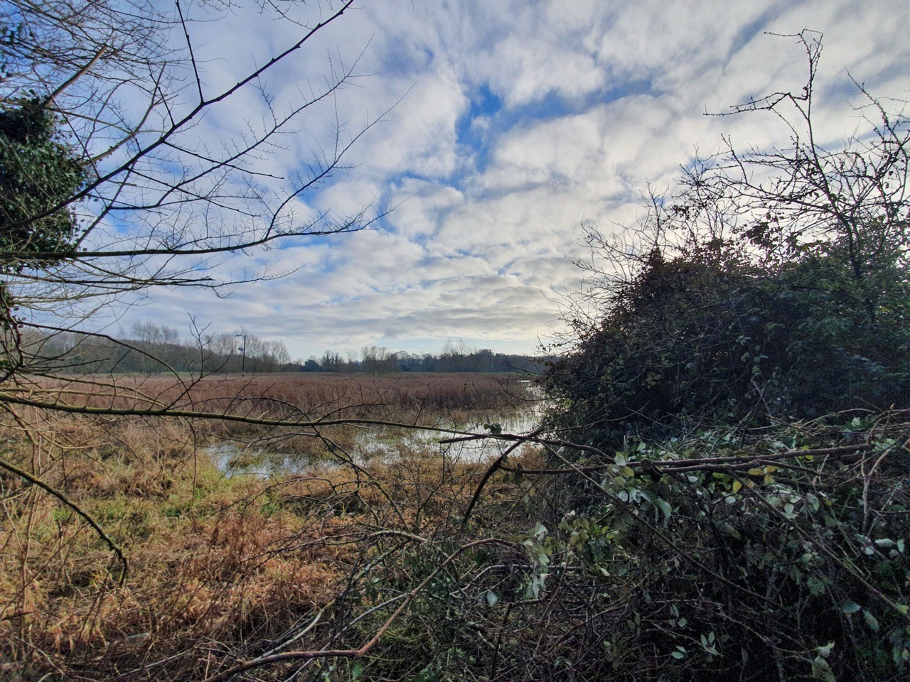
These photos are of Drayton Green Lanes, an area of walking that we hadn’t noticed on the map, but which let us get close to the river. It’s really nicely looked after and some volunteers from Norwich Fringe Countryside Management Project recently fixed some damaged boardwalk under the supervision of Drayton Parish Council. This bit of land, which it appears no-one ever claimed ownership of, was a quite welcome surprise.
The walk into Drayton along Low Road, which meant that we could see the river on our left. I must admit to getting quite into this whole project by this point as although I live near to the River Wensum, it suddenly seemed to be quite magical as we walked along it towards its source. To be honest, I think I need to get out more……
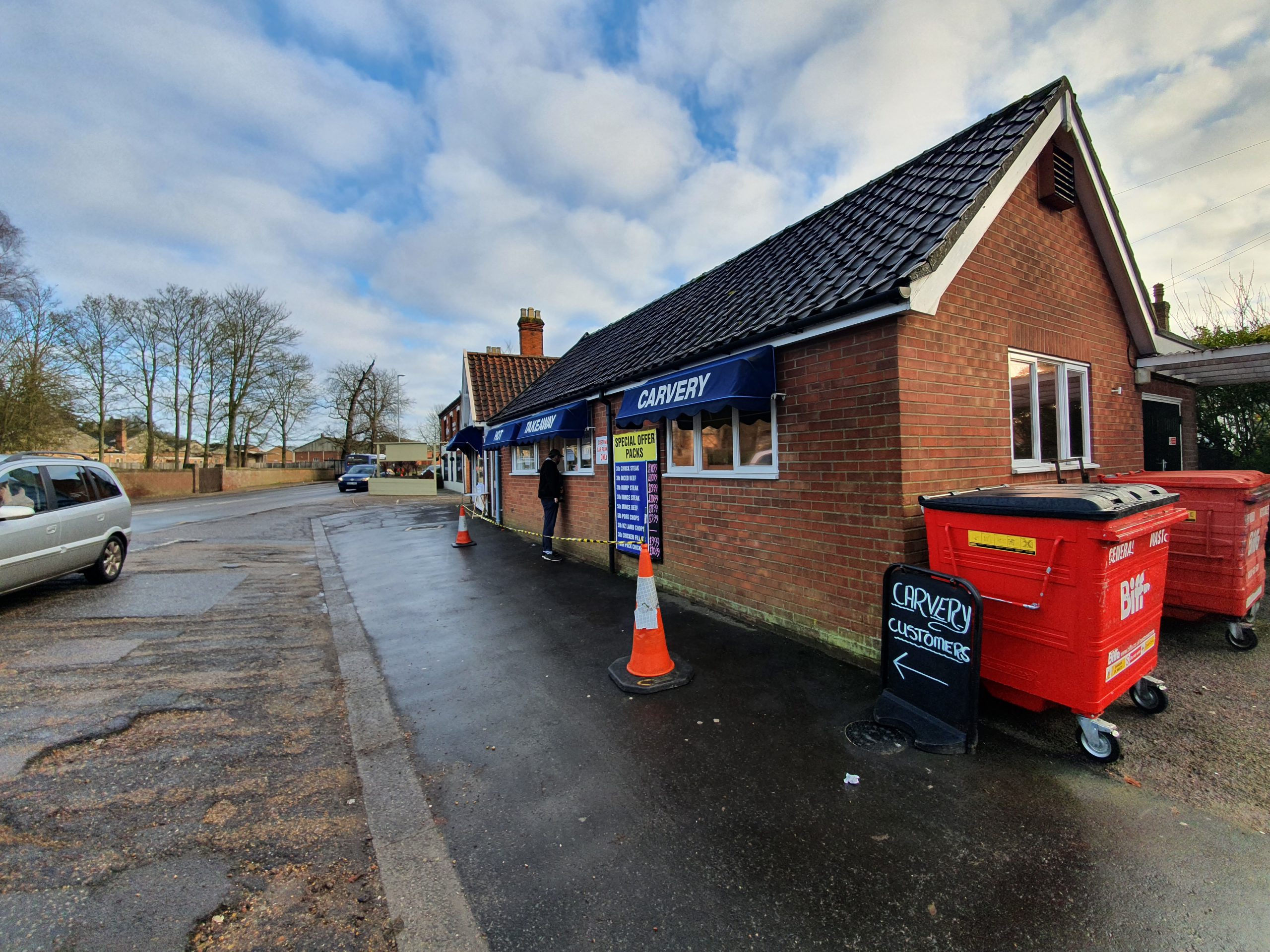
I had hoped that E Pratt and Co were doing some delicious sausage rolls as their reviews looked rather positive. They’re a local butcher, but the situation was confused (well, I was confused, which doesn’t take much) and I came to the conclusion they weren’t selling hot food as despite a carvery sign the menu boards were all for raw meat. Delicious as that probably was, I thought better of it. Marginally disappointing, I was hoping it’d be as good as Greggs.
I did try and find some food in the Applegreen petrol station instead, but it appeared to me from the pricing that Harrods had done a take-over of the premises. There was a Tesco next door, but I didn’t want to go shopping for the sake of it at the moment when all I had wanted was chips or a sausage roll. So, I bravely left Drayton with no food.
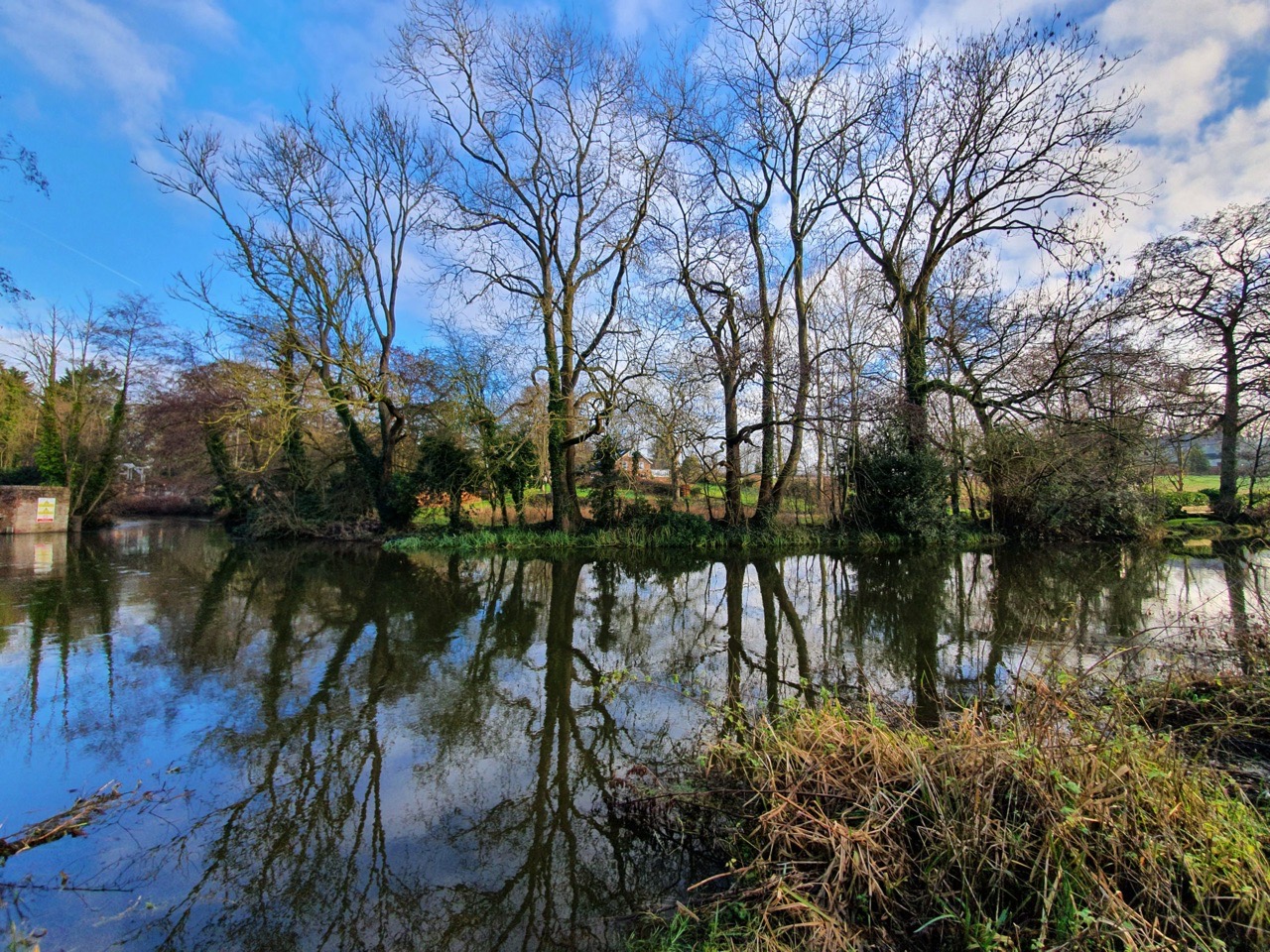
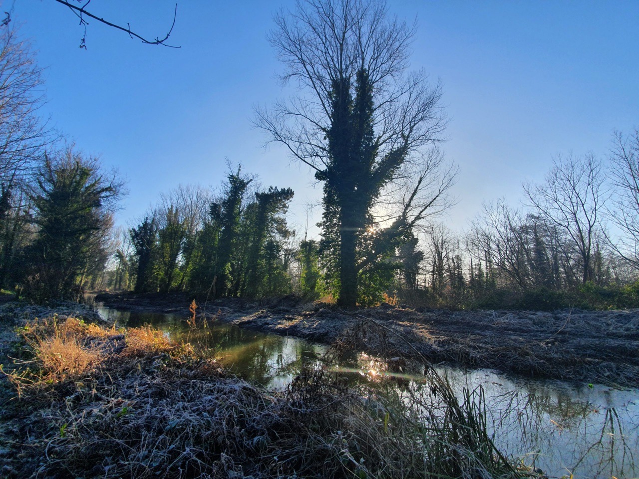
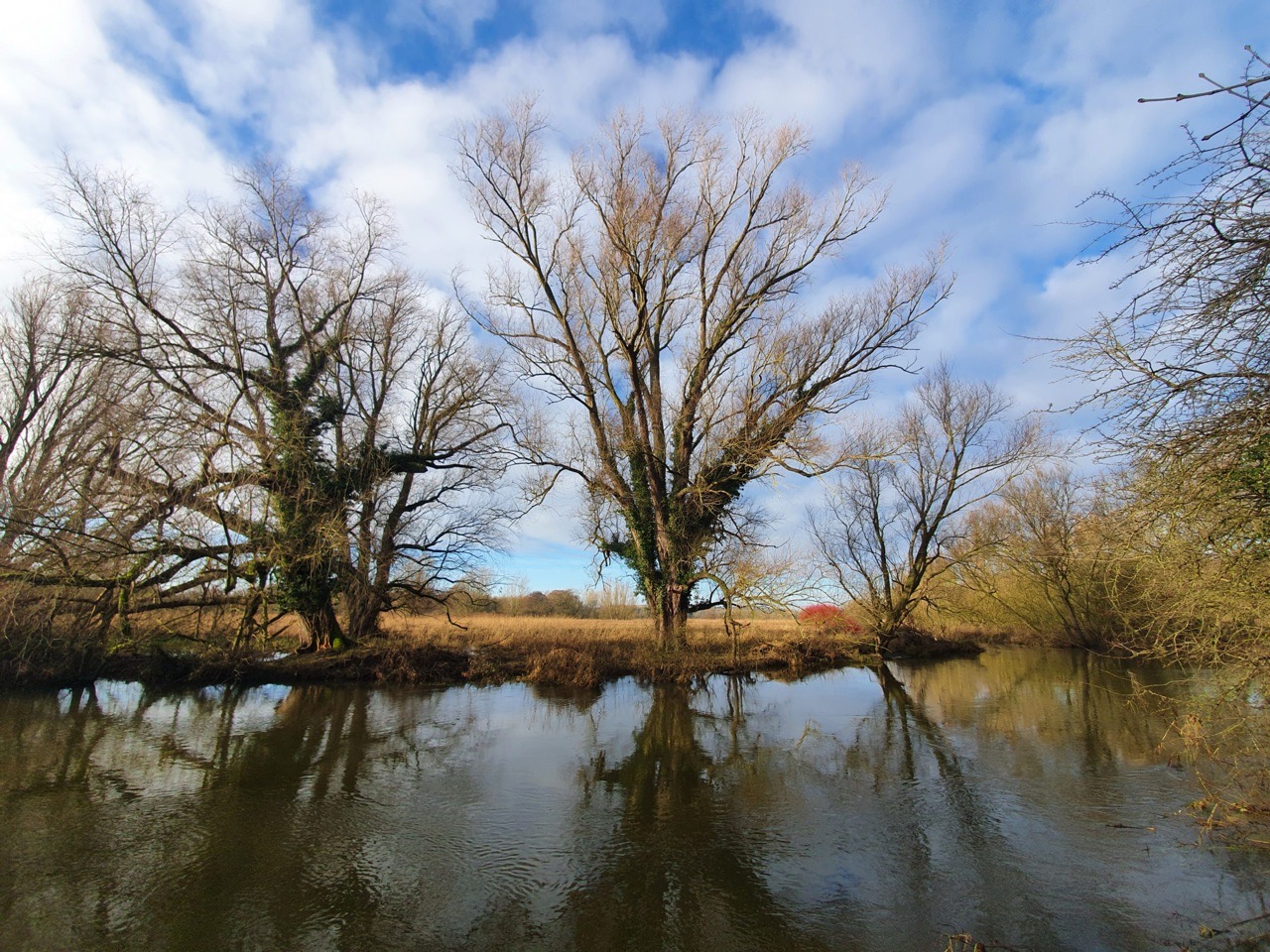
This is the stretch of the Wensum between Drayton and Costessey Mill. The river has been diverted, likely a very long time ago, so there are two stretches here, one which is likely the original course of the Wensum and another which is what powers the mill.
The mill here has gone, destroyed in a fire in the 1920s.
Nathan navigating a minor tributary of the Wensum.
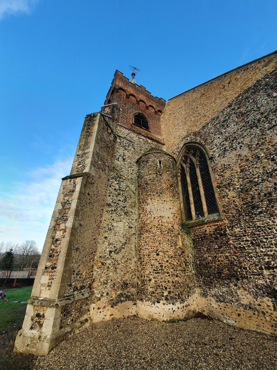
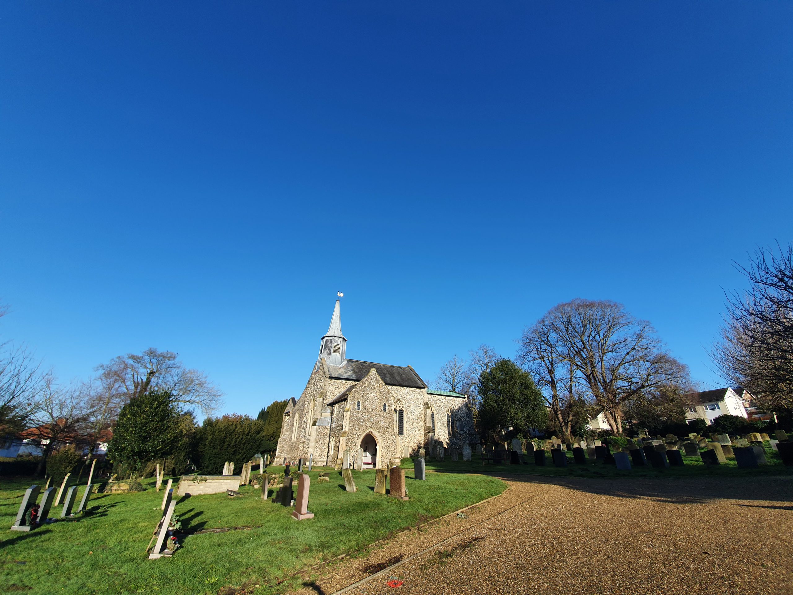
This is St. Edmund’s Church in Costessey, which I visited briefly on Steve’s walk last year. The building’s history puzzled me, I’ll have to read up about it as there seem to be numerous additions from different periods. In short, there has likely been a church here since Saxon times, but the current one is mostly from the thirteenth century, albeit with a Victorian restoration.
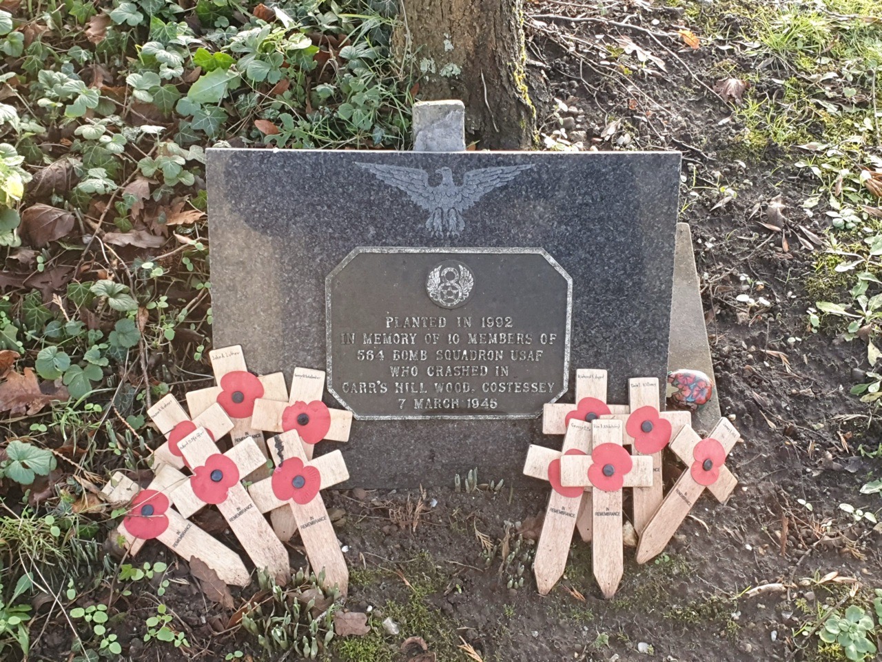
I hadn’t noticed this before, in memory of 10 members of 564 Bomb Squadron who crashed in Carr’s Hill Wood in Costessey on 7 March 1945. There was a campaign for the footpath to this site to be kept open, as it was on permissive land and the owner wanted it closed off. I don’t know what came of that, as the permissive path ceased in 2017, but I’ll find out.
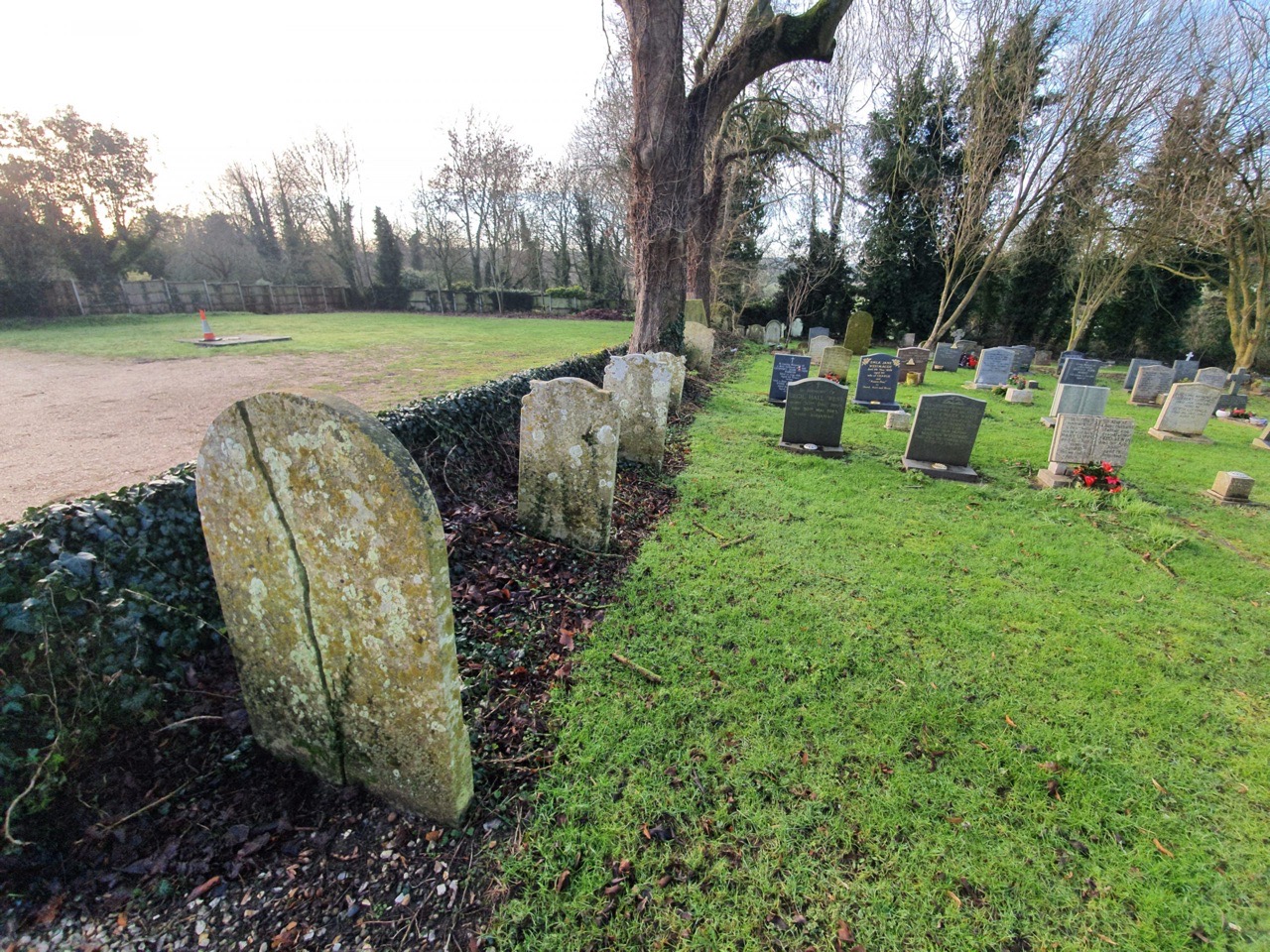
An unusual positioning of some of the older graves.
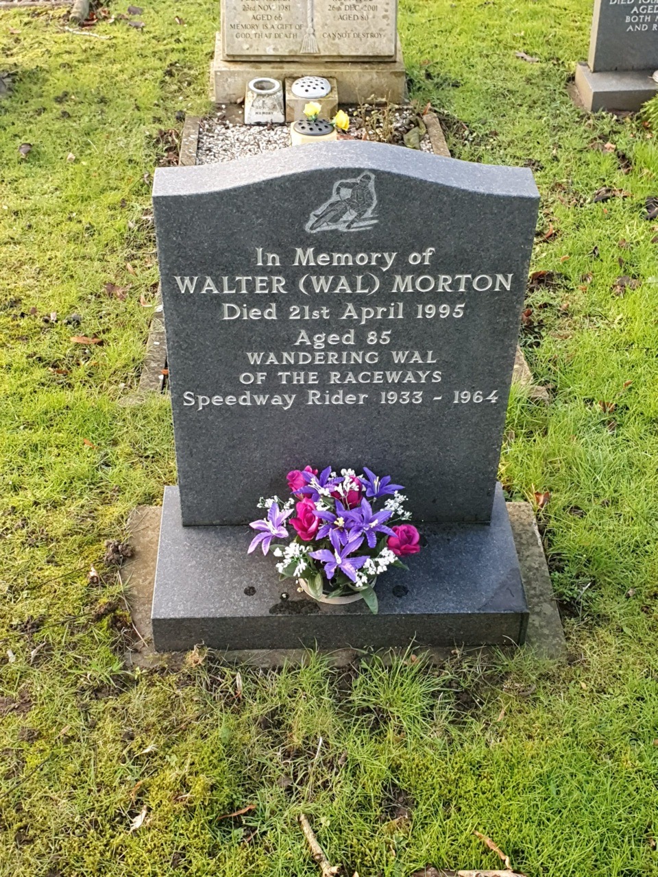
Nathan was fascinated with the grave of Wandering Wal, and it sounds like this man had an eventful and interesting life.
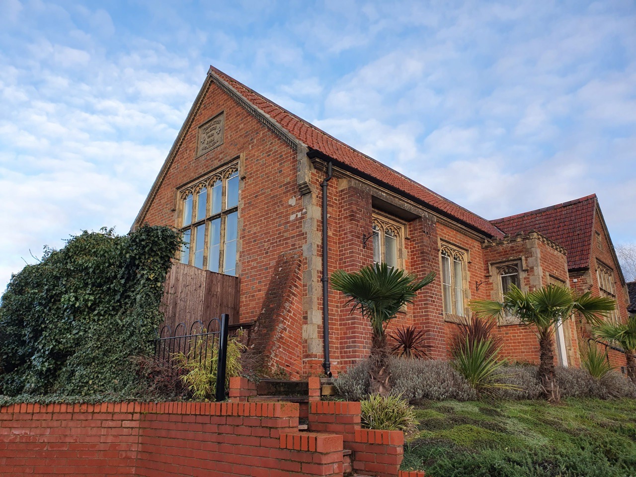
I assumed when walking by this building that it was a Victorian school, but it’s actually a hall which I think is linked to the Our Lady and St Walstan Roman Catholic Church which is located opposite.
Although we had to walk back to Norwich at this point, nothing of huge interest happened although we discovered just how many people are walking along Marriott’s Way. And, the point of this walk was to follow the route of the River Wensum, so in a future blog post, we will continue our trail from where we finished and pick up the story again as we head off from the Taverham area. For anyone who looks on a map, they might notice that we didn’t get very far along the River Wensum, but there’s no need to rush adventure….
As for our training for the LDWA 100….. This seems to be creeping up on us if I’m being honest and I’m not entirely sure that we’re filled with optimism. We’re confident of completing 60 miles, but more than that will be down to the Gods. Well, I say Gods, but I more mean our feet. Anyway, we’ll see what happens, but we’ve been very brave so far. There were no injuries today, other than Nathan’s slightly dodgy knee, and at least that bodes well (the no injuries part that is)